2020s Maps of Pima County, Arizona
Explore 213 historic maps of Pima County from the 2020s. These maps offer a rare glimpse into what life looked like during the 2020s — showing old roads, neighborhoods, homes, and landmarks that have changed or disappeared over time.
Whether you're researching your family's past, planning a metal detecting trip, or studying how Pima County's landscape evolved across the 2020s, these high-resolution maps are a powerful tool for exploring the history of this region.
- Focus on a specific era: All maps on this page are from the 2020s, giving you a focused view of this time period.
- See what’s changed: Compare century-old streets, trails, and buildings to today's modern landscape using overlays and satellite layers.
- Research with precision: Use these maps for genealogy, historical research, land use analysis, or educational projects.
- View, download, or print: Maps are fully viewable online in high resolution, and can be downloaded or printed for your own records.
Start exploring Pima County's history through authentic maps from the 2020s. This is your window into the past.
Pima County, AZ maps
(213)- 2021 Map of Blankenship Well, 2021 Print
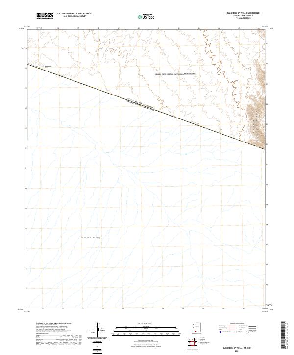 2021 Blankenship Well2021 Print · USGSThe Arizona-Mexico border comes into focus in this recent survey of the Pima County desert. Genealogists and desert historians can trace the remote Blankenship Well and the stark boundary of Organ Pipe Cactus National Monument.
 - 2021 Map of Batamote Hills, 2021 Print
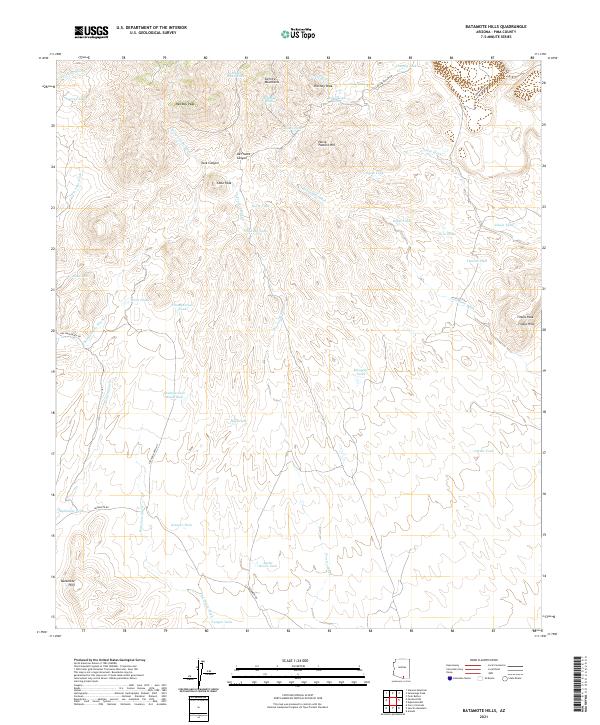 2021 Batamote Hills2021 Print · USGSSouthern Arizona ranching country is defined here by the peaks of the Sierrita Mountains and the seasonal flows of the desert washes. Researchers can trace land use through historical water sources like Adobe House Tank and Batamote Tank or follow old routes like San Juan Ranch Rd.
 - 2021 Map of Spring Water Canyon, 2021 Print
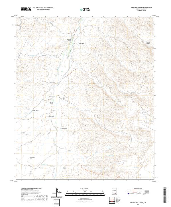 2021 Spring Water Canyon2021 Print · USGSSoutheast of Tucson in the early twenty-first century, this landscape reveals a complex network of seasonal washes and ranching infrastructure. Trace local geography through Empire Gulch, the industry at Oil Well Tank, and historic routes like Red Cloud Mine Rd.
 - 2021 Map of West of Quitobaquito Springs, 2021 Print
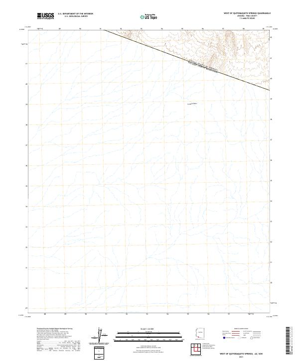 2021 West of Quitobaquito Springs2021 Print · USGSThe international border cuts across the desert landscape of Pima County in this recent survey. Local researchers and historians can trace the intricate drainage patterns across the La Abra Plain and the diagonal line of the United States border.
 - 2021 Map of Granite Mountains South, 2021 Print
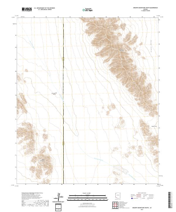 2021 Granite Mountains South2021 Print · USGSArizona's high desert reaches are captured here in the early twenty-first century, showing the remote borderlands of Pima and Yuma counties. Map collectors and researchers can trace the vast San Cristobal Valley and mountain passes like Saguaro Gap.
 - 2021 Map of San Juan Spring, 2021 Print
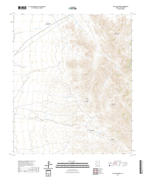 2021 San Juan Spring2021 Print · USGSArid basin and range topography characterizes this Pima County region in the early 2020s, where educational centers meet traditional lands. Researchers can trace the seasonal flow of Ali Molina Wash past Gu Chuapo or locate the Tohono Oodham Community College Main Campus near the Quinlan Mountains.
 - 2021 Map of West of Growler Peak, 2021 Print
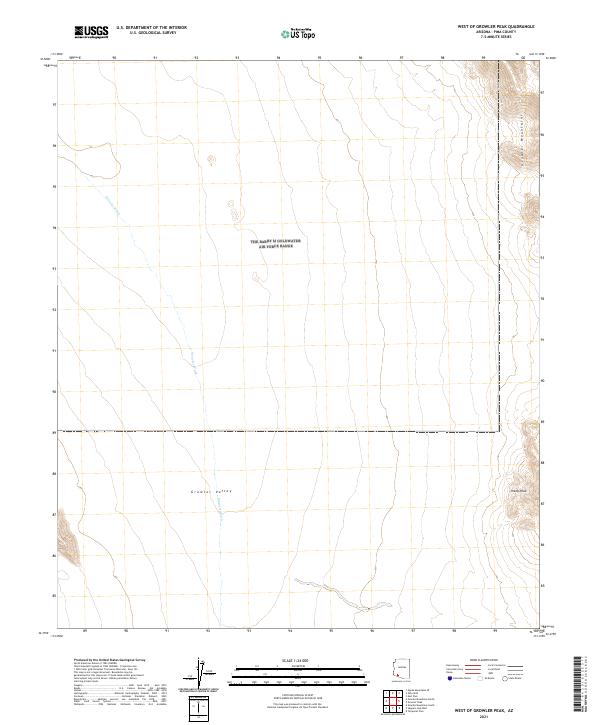 2021 West of Growler Peak2021 Print · USGSPima County's desert reaches are captured here in the early twenty-first century, showing the wide sweep of the basin-and-range landscape. Researchers can trace the drainage of Growler Wash as it moves through Growler Valley toward the heights of Sheep Peak.
 - 2021 Map of Baboquivari Peak, 2021 Print
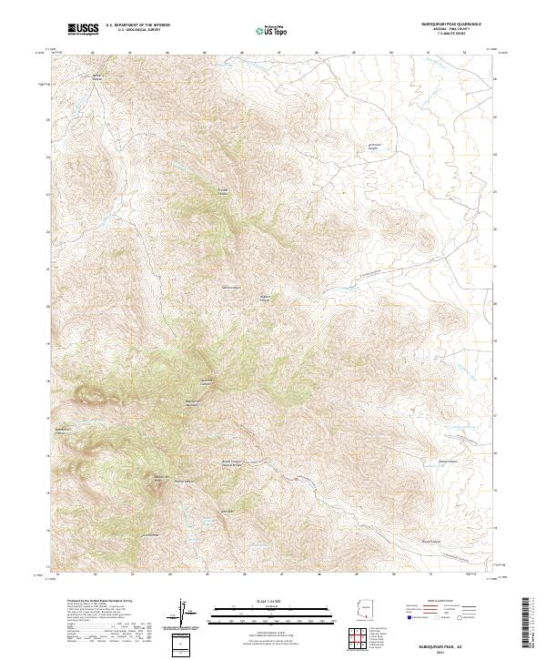 2021 Baboquivari Peak2021 Print · USGSThe Pima County desert as it appeared in the early 2020s reveals a landscape defined by high peaks and vital water sources. Trace geological landmarks like Brown Canyon Natural Bridge alongside named springs such as Broken Trough Spring and Tinaja Spring.
 - 2021 Map of West of Lukeville, 2021 Print
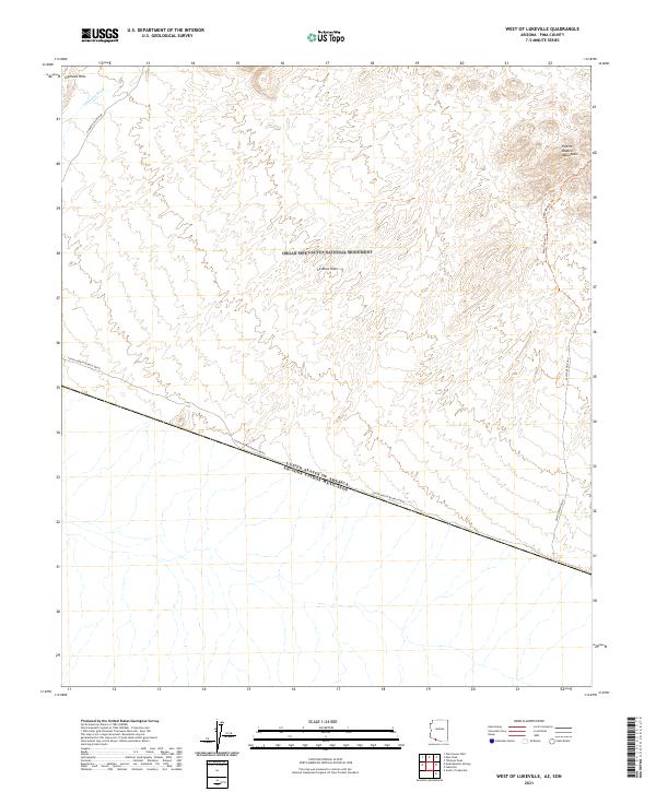 2021 West of Lukeville2021 Print · USGSThe international borderlands of Pima County are shown here in the early twenty-first century, centered on the protected wilderness of the Sonoran Desert. Trace rugged desert routes like the Milton Mine Trl or follow the path of Aguajita Wash across the La Abra Plain.
 - 2021 Map of South Komelik, 2021 Print
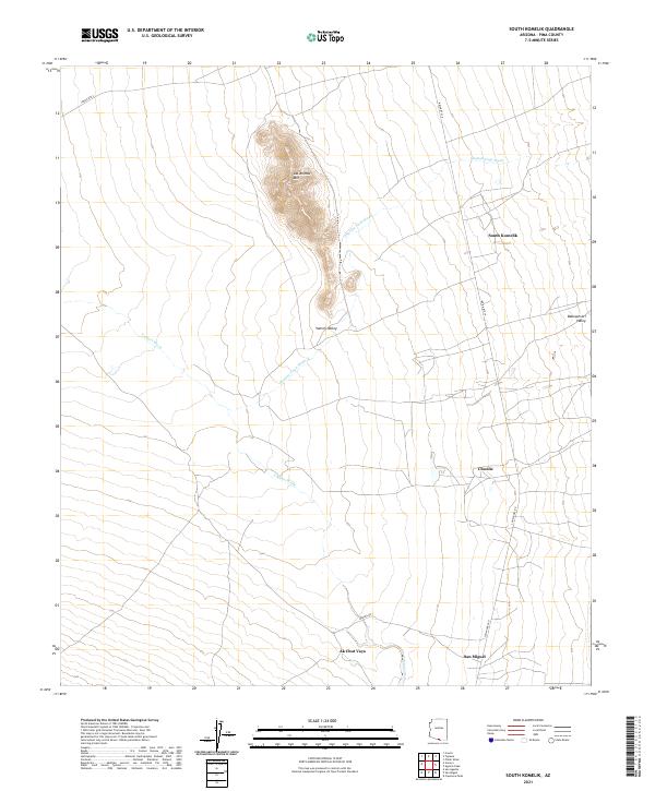 2021 South Komelik2021 Print · USGSSouthern Arizona desert life is documented here in the early twenty-first century, showing the enduring structure of rural Pima County. Genealogists and historians can trace the roads connecting South Komelik, Choulic, and San Miguel near the base of Las Animas Mtn.
 - 2021 Map of Sasabe, 2021 Print
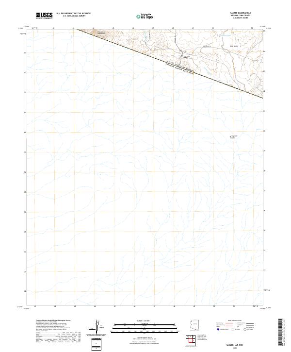 2021 Sasabe2021 Print · USGSThe borderlands of southern Arizona come into focus in the early 2020s at the crossing of Sasabe. Genealogists and historians can trace the desert landscape of the Altar Valley through landmarks like La Osa Tank and Arroyo del Sasabe.
 - 2021 Map of Caponera Peak, 2021 Print
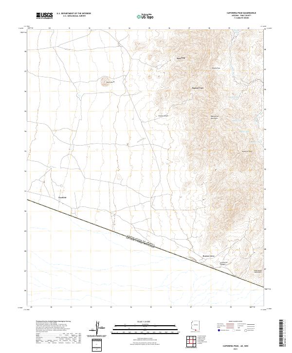 2021 Caponera Peak2021 Print · USGSThe Arizona-Mexico borderland comes alive in this 2021 study of Pima County's remote desert and mountain terrain. Researchers can trace the international boundary line and locate isolated outposts like Sapano Vaya, Newfield, and the peaks of the Baboquivari Mountains.
 - 2021 Map of La Lesna Mountains, 2021 Print
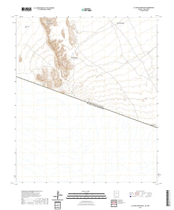 2021 La Lesna Mountains2021 Print · USGSThe Arizona-Mexico borderlands come into focus in this contemporary survey of the Tohono O'odham Nation. Local historians and researchers can trace the roads connecting Ak Komelik, Sivili Chuchg, and Tatum Vo beneath the shadows of La Lesna Peak.
 - 2021 Map of Mildred Peak, 2021 Print
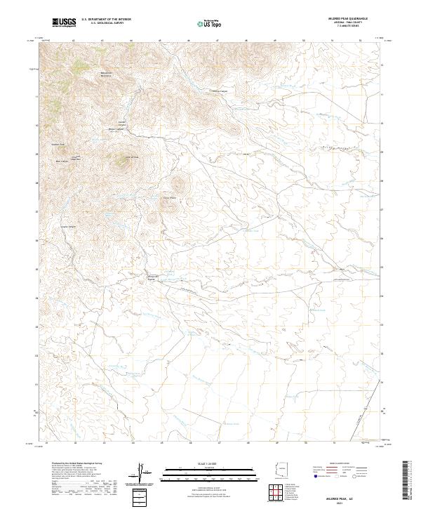 2021 Mildred Peak2021 Print · USGSThe Baboquivari Mountains of Southern Arizona appear here in their modern context, defined by high peaks and desert ranching infrastructure. Trace family-named landmarks and water sources like Mildred Peak, Cemetery Tank, and Corodope Spring.
 - 2021 Map of Samaniego Peak, 2021 Print
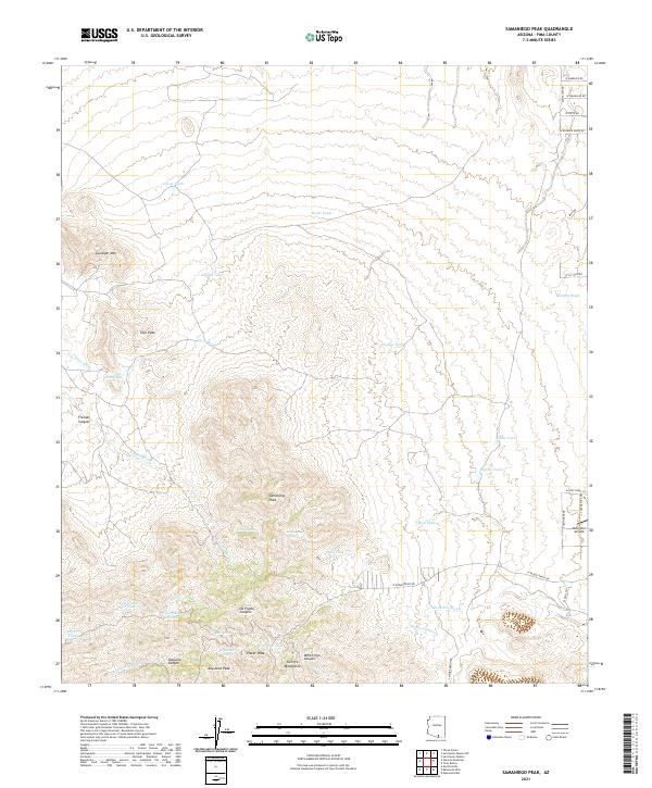 2021 Samaniego Peak2021 Print · USGSPima County's high-desert peaks and canyons are documented here in the early twenty-first century, showcasing a landscape of isolated summits and ranching infrastructure. You can trace the rugged drainages of Fresnal Canyon and locate remote water sources like Bills Spring and Soto Tank near Ruby Star Airpark.
 - 2021 Map of Papago Farms, 2021 Print
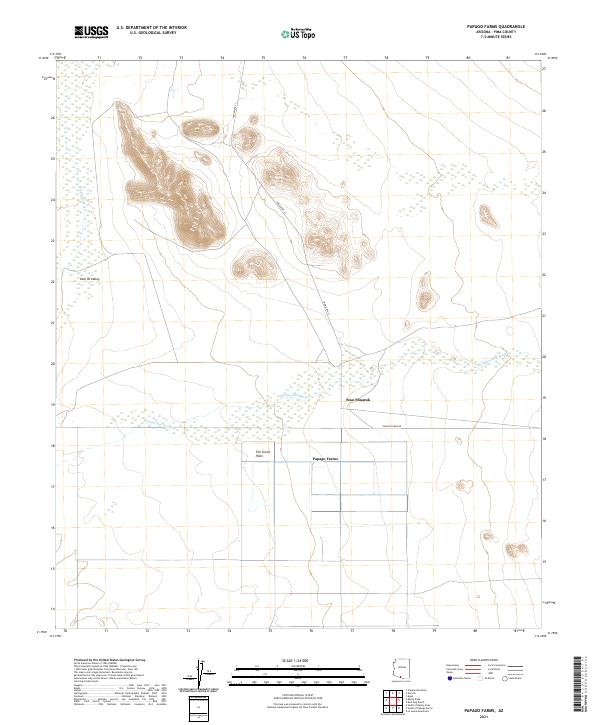 2021 Papago Farms2021 Print · USGSArizona's borderlands are captured here in the early twenty-first century, showing the intersection of desert agriculture and traditional desert terrain. Researchers can trace the layout of Papago Farms and follow the paths of Chukut Kuk Wash and Indian Rte 21.
 - 2021 Map of Kitt Peak, 2021 Print
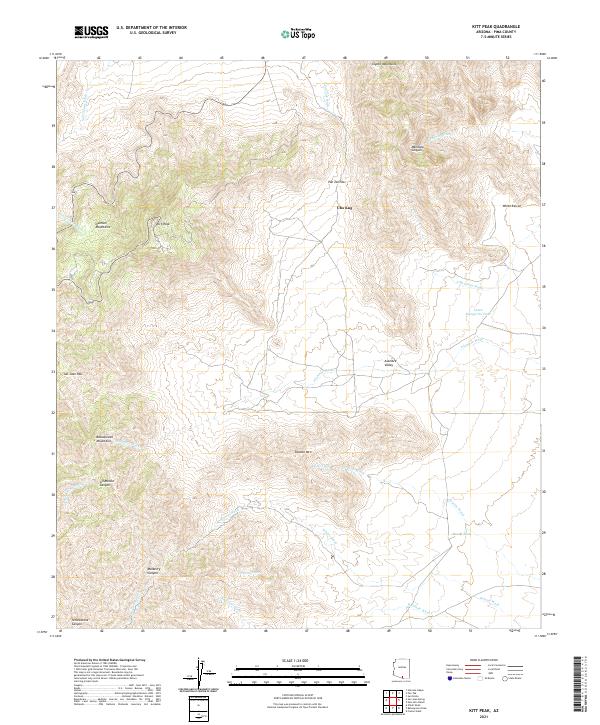 2021 Kitt Peak2021 Print · USGSArizona's Sonoran highlands come into focus in this recent survey of the Tohono O'odham landscape. Researchers can trace intricate desert drainages and vital water points like Santa Margarita Tank and Mercy Tank while navigating the slopes of Kitt Peak and the Coyote Mountains.
 - 2021 Map of San Miguel, 2021 Print
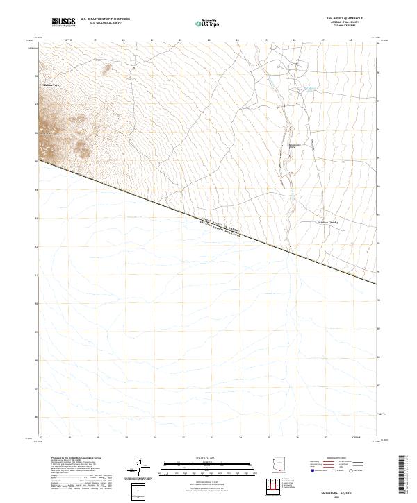 2021 San Miguel2021 Print · USGSThe Arizona borderlands meet the Mexican frontier in this modern survey of the remote Sonoran landscape. Researchers can trace rural roads like Noriego Rd and locate indigenous settlements such as Haivan Vaya and Hashan Chuchg.
 - 2021 Map of Pozo Nuevo Well, 2021 Print
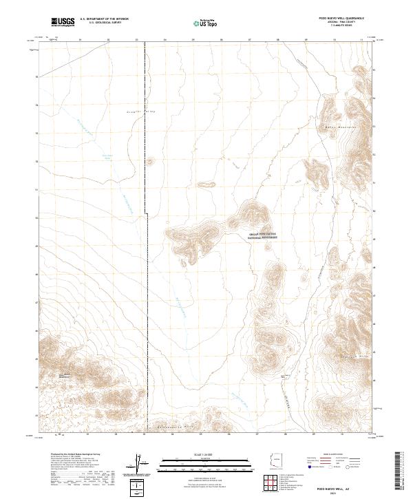 2021 Pozo Nuevo Well2021 Print · USGSThe remote borderlands of Pima County are documented here as they appeared in 2021, showing the convergence of two major federal wilderness reserves. Genealogists and researchers can trace travel routes through the Growler Valley and locate landmarks like the Pozo Nuevo Well and Jose Juan Tank.
 - 2021 Map of North of Agua Dulce Mountains, 2021 Print
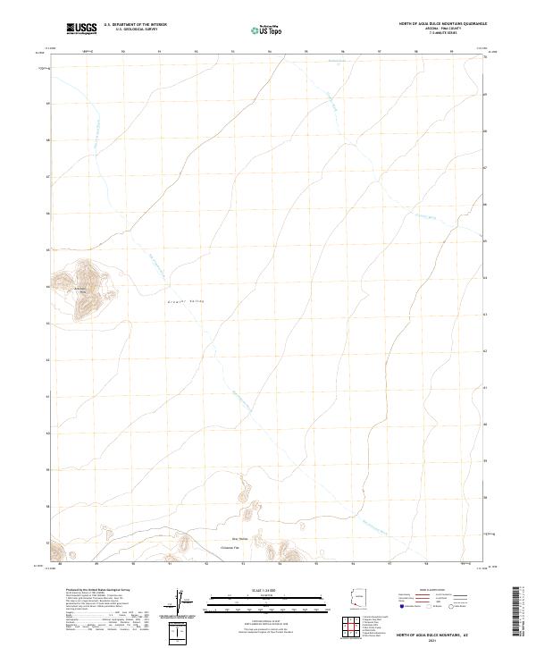 2021 North of Agua Dulce Mountains2021 Print · USGSPima County’s desert basins are captured here in the early twenty-first century, showcasing a landscape shaped by seasonal water. Researchers can map out the drainage of San Cristobal Wash and the distinct terrain of Antelope Hills or Chinaman Flat.
 - 2021 Map of Sells West, 2021 Print
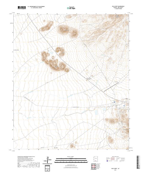 2021 Sells West2021 Print · USGSThe Tohono O'odham Nation in the early 2020s centers on the hub of Sells and its desert surroundings. Trace local infrastructure from Sells Airport to Tohono Oodham Community College - West Campus and the outlier settlement of Etoi Ki.
 - 2021 Map of Chukut Kuk, 2021 Print
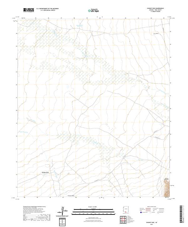 2021 Chukut Kuk2021 Print · USGSSettlement patterns in the Pima County desert are centered around Chukut Kuk in the early 2020s. Researchers can trace seasonal water flow through Big Wash and the rise of the Alvarez Mountains near Indian Rte 20.
 - 2021 Map of Agua Dulce Mountains, 2021 Print
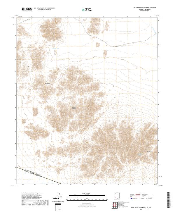 2021 Agua Dulce Mountains2021 Print · USGSThe international border meets the Pima County desert in this modern survey. Researchers can trace the terrain from the peaks of Papago Mtn to the crucial water source at Agua Dulce Spring and the passage through Cholla Pass.
 - 2021 Map of Antelope Hills, 2021 Print
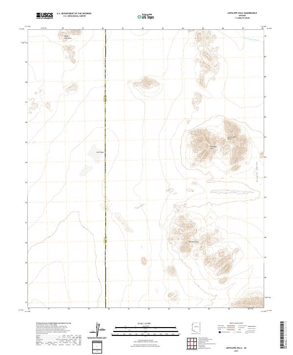 2021 Antelope Hills2021 Print · USGSThe Yuma and Pima county line crosses this desert landscape as it appeared in the early 2020s. Researchers can trace the drainage of the San Cristobal Wash and locate the remote Dos Playas near the Bryan Mountains.
 - 2021 Map of Growler Peak, 2021 Print
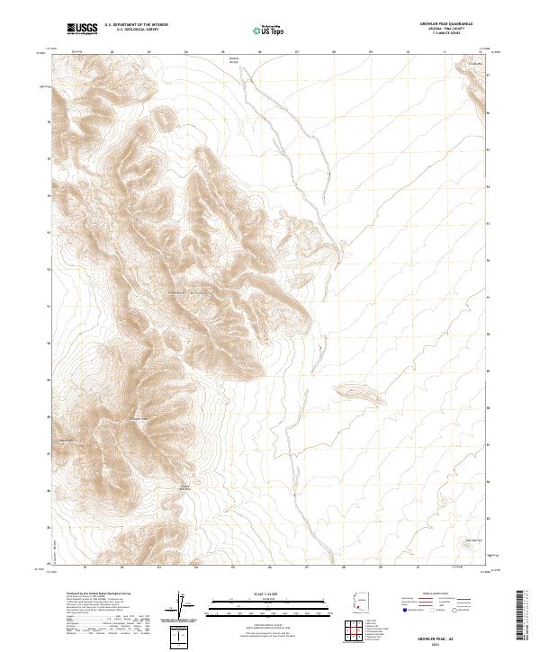 2021 Growler Peak2021 Print · USGSArizona's high desert peaks and drainage basins are documented in detail at the start of the 2020s. Researchers can trace the rugged contours of Growler Peak, the route through Charlie Bell Pass, and the seasonal flow of Daniels Arroyo.
Showing maps 1-25 of 213
Top cities of Pima County
- Tucson historical maps
- Marana historical maps
- Oro Valley historical maps
- Sahuarita historical maps
- Vail historical maps
- Picture Rocks historical maps
See more
Frequently asked questions
- What are the different types of historical maps available for Pima County?
- What is the oldest map of Pima County?
- Where can I purchase historical maps of Pima County for my home or office?
- Where can I download high-res historical maps of Pima County?
- Are there historical topographic maps available for Pima County?
- Is there historical aerial imagery available for Pima County?
- Where are historical maps of Pima County sourced from?