2000s (21st Century) Maps of Marana, Arizona
Explore 32 historic maps of Marana from the 2000s (21st Century). These maps offer a rare glimpse into what life looked like during the 2000s — showing old roads, neighborhoods, homes, and landmarks that have changed or disappeared over time.
Whether you're researching your family's past, planning a metal detecting trip, or studying how Marana's landscape evolved across the 2000s, these high-resolution maps are a powerful tool for exploring the history of this region.
- Focus on a specific era: All maps on this page are from the 2000s, giving you a focused view of this time period.
- See what’s changed: Compare century-old streets, trails, and buildings to today's modern landscape using overlays and satellite layers.
- Research with precision: Use these maps for genealogy, historical research, land use analysis, or educational projects.
- View, download, or print: Maps are fully viewable online in high resolution, and can be downloaded or printed for your own records.
Start exploring Marana's history through authentic maps from the 2000s. This is your window into the past.
Marana, AZ maps
- 2011 Map of Tortolita Mountains, 2011 Print
 2011 Tortolita Mountains2011 Print · USGSCovers Marana, including Pima County, Pinal County, and other nearby areas
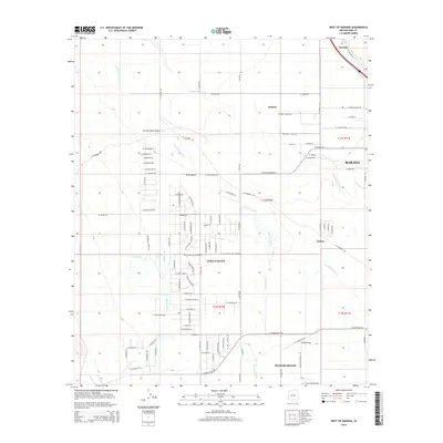
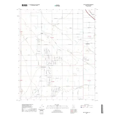
 - 2011 Map of West of Marana, 2011 Print
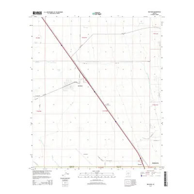
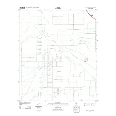 2011 West of Marana2011 Print · USGSCovers Marana, including Avra Valley, Nelson, and other nearby areas
 - 2011 Map of Jaynes, 2011 Print
 2011 Jaynes2011 Print · USGSCovers Marana, including Tucson, Oro Valley, and other nearby areas
 - 2011 Map of Desert Peak, 2011 Print
 2011 Desert Peak2011 Print · USGSCovers Marana, including Pima County, Pinal County, and other nearby areas
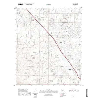
 - 2011 Map of Avra, 2011 Print
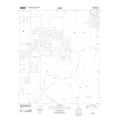 2011 Avra2011 Print · USGSCovers Marana, including Picture Rocks, Pima County, and other nearby areas
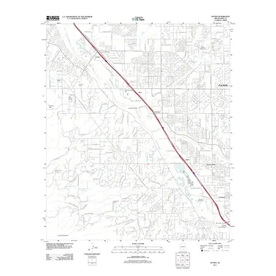
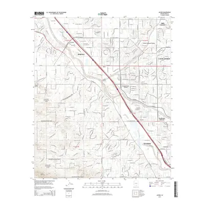
 - 2011 Map of Marana, 2011 Print
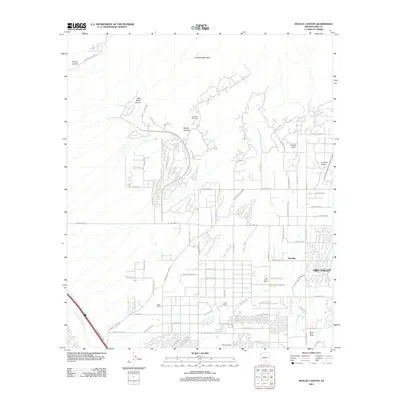
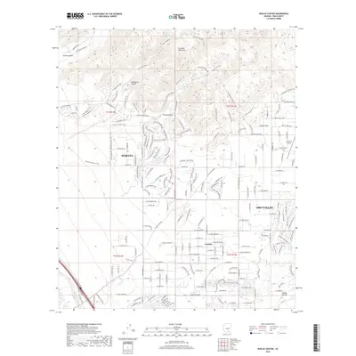
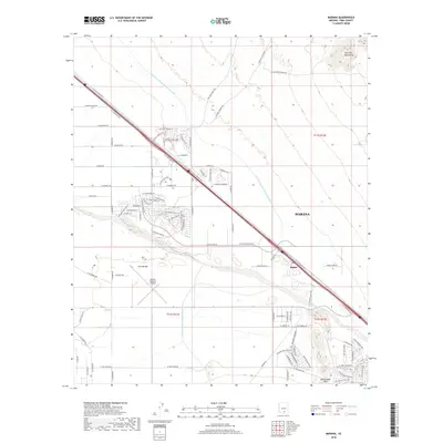
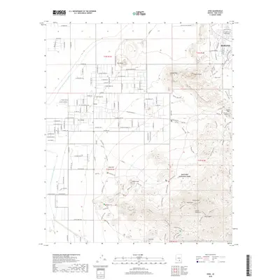
 2011 Marana2011 Print · USGSCovers Marana, including Rillito, Pima County, and other nearby areas
 - 2011 Map of Ruelas Canyon, 2011 Print
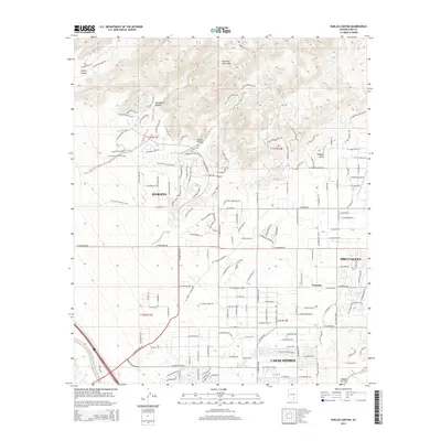
 2011 Ruelas Canyon2011 Print · USGSCovers Marana, including Oro Valley, Tortolita, and other nearby areas
 - 2011 Map of Red Rock, 2011 Print
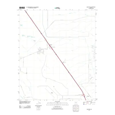 2011 Red Rock2011 Print · USGSCovers Marana, including Red Rock, Avra, and other nearby areas
 - 2014 Map of Desert Peak, 2014 Print
 2014 Desert Peak2014 Print · USGSCovers Marana, including Pima County, Pinal County, and other nearby areas
 - 2014 Map of West of Marana, 2014 Print
 2014 West of Marana2014 Print · USGSCovers Marana, including Avra Valley, Nelson, and other nearby areas
 - 2014 Map of Marana, 2014 Print
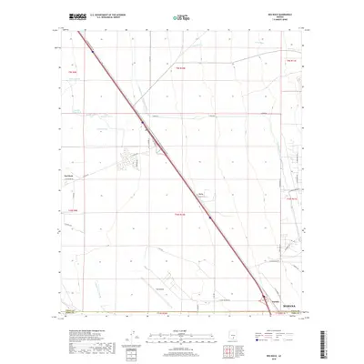
 2014 Marana2014 Print · USGSCovers Marana, including Rillito, Pima County, and other nearby areas
 - 2014 Map of Jaynes, 2014 Print
 2014 Jaynes2014 Print · USGSCovers Marana, including Tucson, Oro Valley, and other nearby areas
 - 2014 Map of Avra, 2014 Print
 2014 Avra2014 Print · USGSCovers Marana, including Picture Rocks, Pima County, and other nearby areas
 - 2014 Map of Red Rock, 2014 Print
 2014 Red Rock2014 Print · USGSCovers Marana, including Red Rock, Avra, and other nearby areas
 - 2014 Map of Tortolita Mountains, 2014 Print
 2014 Tortolita Mountains2014 Print · USGSCovers Marana, including Pima County, Pinal County, and other nearby areas
 - 2014 Map of Ruelas Canyon, 2014 Print
 2014 Ruelas Canyon2014 Print · USGSCovers Marana, including Oro Valley, Tortolita, and other nearby areas
 - 2018 Map of Red Rock, 2018 Print
 2018 Red Rock2018 Print · USGSCovers Marana, including Red Rock, Avra, and other nearby areas
 - 2018 Map of Ruelas Canyon, 2018 Print
 2018 Ruelas Canyon2018 Print · USGSCovers Marana, including Oro Valley, Tortolita, and other nearby areas
 - 2018 Map of Marana, 2018 Print
 2018 Marana2018 Print · USGSCovers Marana, including Rillito, Pima County, and other nearby areas
 - 2018 Map of Tortolita Mountains, 2018 Print
 2018 Tortolita Mountains2018 Print · USGSCovers Marana, including Pima County, Pinal County, and other nearby areas
 - 2018 Map of Avra, 2018 Print
 2018 Avra2018 Print · USGSCovers Marana, including Picture Rocks, Pima County, and other nearby areas
 - 2018 Map of Desert Peak, 2018 Print
 2018 Desert Peak2018 Print · USGSCovers Marana, including Pima County, Pinal County, and other nearby areas
 - 2018 Map of West of Marana, 2018 Print
 2018 West of Marana2018 Print · USGSCovers Marana, including Avra Valley, Nelson, and other nearby areas
 - 2018 Map of Jaynes, 2018 Print
 2018 Jaynes2018 Print · USGSCovers Marana, including Tucson, Oro Valley, and other nearby areas
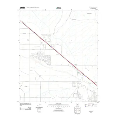
 - 2021 Map of Avra, 2021 Print
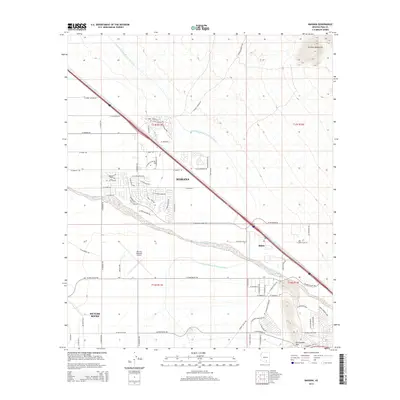
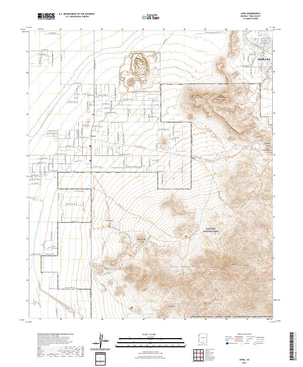 2021 Avra2021 Print · USGSThe desert northwest of Tucson appears in recent detail as modern suburban expansion meets the protected wilderness of Saguaro National Park. Researchers can trace trail networks through the Tucson Mountains and locate landmarks like Wasson Peak, Signal Hill, and the Marana townsite.
Showing maps 1-25
Top cities near Marana
- Tucson historical maps
- Oro Valley historical maps
- Picture Rocks historical maps
- South Tucson historical maps
- Avra Valley historical maps
- Red Rock historical maps
See more
Top neighborhoods of Marana
Frequently asked questions
- What are the different types of historical maps available for Marana?
- What is the oldest map of Marana?
- Where can I purchase historical maps of Marana for my home or office?
- Where can I download high-res historical maps of Marana?
- Are there historical topographic maps available for Marana?
- Is there historical aerial imagery available for Marana?
- Where are historical maps of Marana sourced from?