2010s Maps of Marana, Arizona
Explore 24 historic maps of Marana from the 2010s. These maps offer a rare glimpse into what life looked like during the 2010s — showing old roads, neighborhoods, homes, and landmarks that have changed or disappeared over time.
Whether you're researching your family's past, planning a metal detecting trip, or studying how Marana's landscape evolved across the 2010s, these high-resolution maps are a powerful tool for exploring the history of this region.
- Focus on a specific era: All maps on this page are from the 2010s, giving you a focused view of this time period.
- See what’s changed: Compare century-old streets, trails, and buildings to today's modern landscape using overlays and satellite layers.
- Research with precision: Use these maps for genealogy, historical research, land use analysis, or educational projects.
- View, download, or print: Maps are fully viewable online in high resolution, and can be downloaded or printed for your own records.
Start exploring Marana's history through authentic maps from the 2010s. This is your window into the past.
Marana, AZ maps
(24)- 2011 Map of Tortolita Mountains, 2011 Print
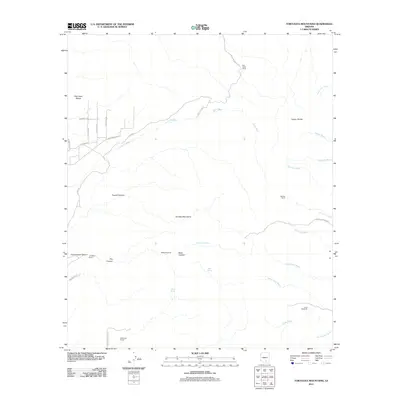 2011 Tortolita Mountains2011 Print · USGSThe Tortolita Mountains and their rugged canyons appear in this early twenty-first-century survey as a landscape of isolated desert ranching. Researchers can trace historic water sources and ranch holdings like Palo Verde Ranch, McKenzie Ranch, and the Riddle Windmill.
 - 2011 Map of West of Marana, 2011 Print
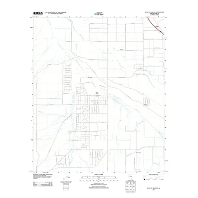 2011 West of Marana2011 Print · USGSThe desert outskirts of Pima County come into focus in the early 2010s as rural residential grids expand toward the Santa Cruz River. Genealogists and local historians can trace the development of Avra Valley and the smaller footprints of Naviska and Nelson.
 - 2011 Map of Jaynes, 2011 Print
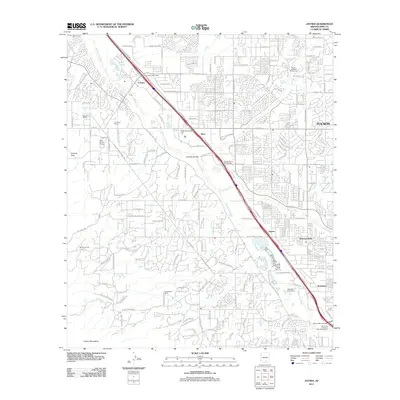 2011 Jaynes2011 Print · USGSThe northwest edge of the Tucson metro area is captured here during a period of rapid suburban and commercial expansion. Genealogists and local historians can trace the evolution of old desert holdings like Sahuaro Ranch and the community of Flowing Wells.
 - 2011 Map of Desert Peak, 2011 Print
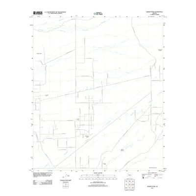 2011 Desert Peak2011 Print · USGSMarana, Arizona, is shown in the early twenty-first century as a desert landscape of seasonal washes and growing road networks. Researchers can trace rural aviation at El Mirador Airport and locate family landholdings like Goodman Ranch or Davis Ranch.
 - 2011 Map of Avra, 2011 Print
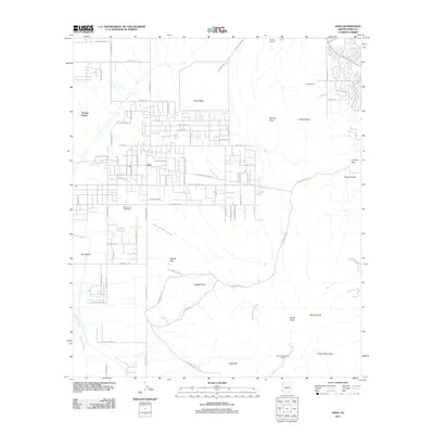 2011 Avra2011 Print · USGSArizona's Sonoran Desert landscape comes alive in this 2011 survey of the valley floor and rising peaks west of Tucson. Researchers can trace the boundaries of Saguaro National Monument and locate local landmarks like Rancho del Esperanza and Clarey Ranch.
 - 2011 Map of Marana, 2011 Print
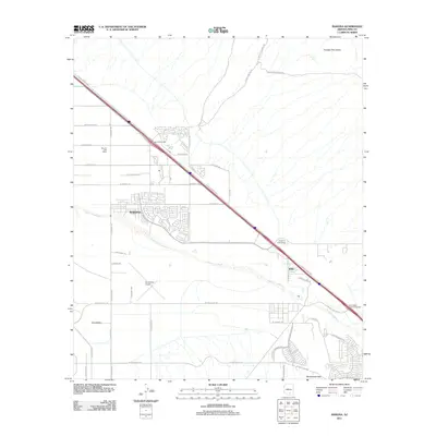 2011 Marana2011 Print · USGSMarana and the Pima County desert floor are captured here during a period of rapid suburban and industrial expansion in the early 2000s. Researchers can trace the development of Marana and Rillito along the Santa Cruz River, or locate landmarks like the Avra Valley Airport.
 - 2011 Map of Ruelas Canyon, 2011 Print
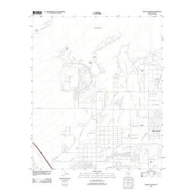 2011 Ruelas Canyon2011 Print · USGSThe northern Tucson valley is captured here in the early 2000s as suburban expansion meets the base of the Tortolita Mountains. Researchers can trace the heritage of local land holdings from T-Bench-Bar Ranch to the specialized La Cholla Airpark.
 - 2011 Map of Red Rock, 2011 Print
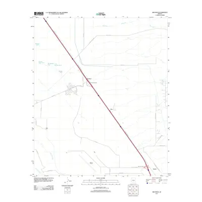 2011 Red Rock2011 Print · USGSRed Rock and the arid basins of southern Arizona appear here during a period of modern ranching and aviation expansion. Genealogists and historians can locate family landmarks like Meeks Ranch, the vast Marana Airpark, and local landmarks such as Nariska and Big Spreader Tank.
 - 2014 Map of Desert Peak, 2014 Print
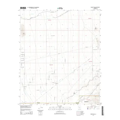 2014 Desert Peak2014 Print · USGSMarana and the northern Sonoran Desert are captured here in the early twenty-first century as suburban growth meets traditional ranching lands. Researchers can trace modern infrastructure like the Central Arizona Project Aqueduct alongside local landmarks such as Twin Hawks Airpark and Owl Head Buttes.
 - 2014 Map of West of Marana, 2014 Print
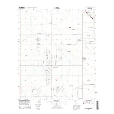 2014 West of Marana2014 Print · USGSThe Pima County desert landscape west of Marana reveals a network of historic valley settlements and complex wash systems in the early twenty-first century. Genealogists and local historians can trace the development of Picture Rocks and Marana alongside rural landmarks like the Silverbell Road Bridge and Naviska.
 - 2014 Map of Marana, 2014 Print
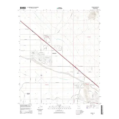 2014 Marana2014 Print · USGSMarana and the Pima County desert are captured here during a decade of rapid suburban expansion. Researchers can trace the development of Marana neighborhoods and the path of the Central Arizona Project Aqueduct near the Marana Regional Airport.
 - 2014 Map of Jaynes, 2014 Print
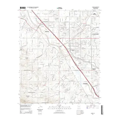 2014 Jaynes2014 Print · USGSThe northern edge of the Tucson basin comes into focus in the early twenty-first century as suburban growth meets the protected desert. Researchers can trace the intersection of the Santa Cruz River and Union Pacific Railroad near Jaynes and Cortaro.
 - 2014 Map of Avra, 2014 Print
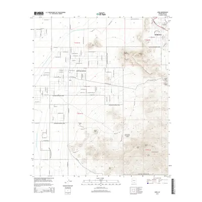 2014 Avra2014 Print · USGSThe northern reaches of the Tucson Mountains and the growth of the Avra Valley are captured here just after the turn of the century. Local historians can trace the residential expansion of Picture Rocks and Marana against the protected borders of Saguaro National Park.
 - 2014 Map of Red Rock, 2014 Print
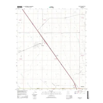 2014 Red Rock2014 Print · USGSThe desert landscape of southern Arizona is defined by major infrastructure and drainage patterns in the mid-2010s. Researchers can trace the massive Central Arizona Project Aqueduct and explore the surroundings of the Pinal Airpark and Red Rock.
 - 2014 Map of Tortolita Mountains, 2014 Print
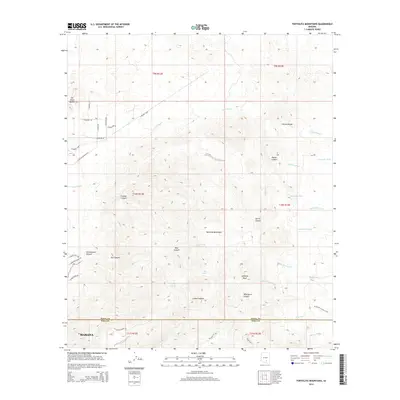 2014 Tortolita Mountains2014 Print · USGSThe northern edge of Marana meets the desert uplands during the early twenty-first century as suburban roads push toward the mountains. Hikers and historians can trace the transition from residential streets to backcountry landmarks like Jeffords Peak, Cottonwood Spring, and the Wild Burro Trail.
 - 2014 Map of Ruelas Canyon, 2014 Print
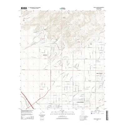 2014 Ruelas Canyon2014 Print · USGSMarana and the Tortolita foothills are captured during a period of rapid suburban expansion in the mid-2010s. Researchers can trace the development of Oro Valley and Casas Adobes alongside landmarks like La Cholla Airpark and the Ridgeline Trail.
 - 2018 Map of Red Rock, 2018 Print
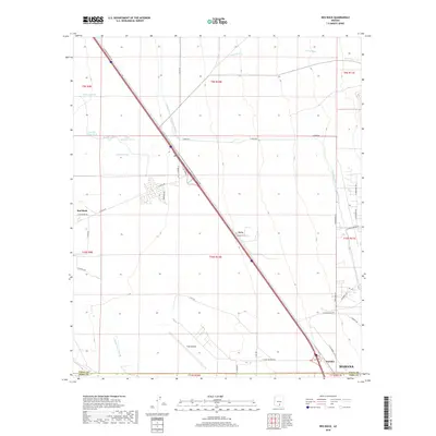 2018 Red Rock2018 Print · USGSSouthern Arizona’s desert plains near the Pinal-Pima line are shown here in the late twenty-teens, dominated by aviation and water infrastructure. Trace the sprawling Pinal Airpark and the massive Central Arizona Project Aqueduct near the settlements of Red Rock and Avra.
 - 2018 Map of Ruelas Canyon, 2018 Print
 2018 Ruelas Canyon2018 Print · USGSMarana and Oro Valley appear in this recent survey as the suburban landscape climbs toward the desert peaks. Researchers can trace the modern development of La Cholla Airpark or follow high-elevation routes like the Alamo Spring Trail into the Tortolita Mountains.
 - 2018 Map of Marana, 2018 Print
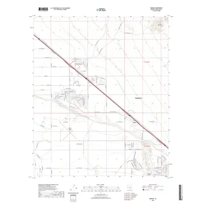 2018 Marana2018 Print · USGSMarana and the surrounding Pima County desert appear here during a period of significant suburban and infrastructure growth. Researchers can trace the path of the Central Arizona Project Aqueduct or locate family roots near Rillito and the Marana Regional Airport.
 - 2018 Map of Tortolita Mountains, 2018 Print
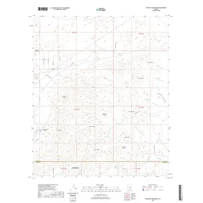 2018 Tortolita Mountains2018 Print · USGSMarana and the surrounding Pinal and Pima County borderlands are shown here in the late twenty-tens as modern trails began to lace the ancient desert. Trace ranching history and mountain routes through Cochie Canyon or locate natural water sources like Cottonwood Spring and Bass Spring.
 - 2018 Map of Avra, 2018 Print
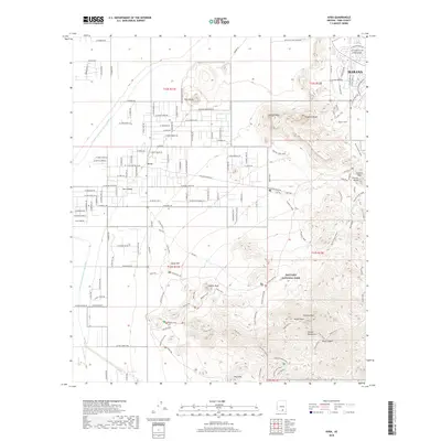 2018 Avra2018 Print · USGSMarana and the western slopes of the Tucson Mountains are captured here in the late 2010s. Modern researchers can trace the intersection of wilderness and infrastructure, from the peaks of Saguaro National Park to the path of the Central Arizona Project Aqueduct.
 - 2018 Map of Desert Peak, 2018 Print
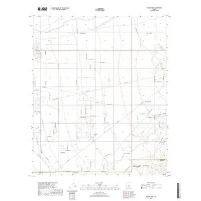 2018 Desert Peak2018 Print · USGSThe northern edges of Marana and the ranchlands of the Pinal-Pima county line are captured here in the late 2010s. Researchers can trace the path of the Central Arizona Project Aqueduct or locate family-named sites like Twin Hawks Airpark and S Carpenter Ranch Rd.
 - 2018 Map of West of Marana, 2018 Print
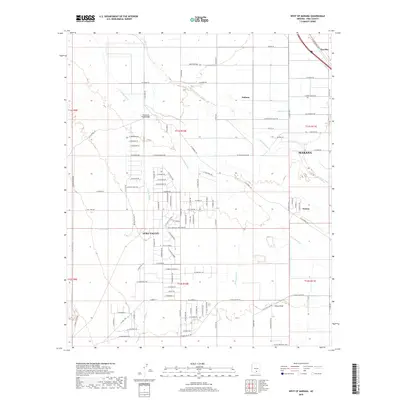 2018 West of Marana2018 Print · USGSMarana and the surrounding Pima County desert are captured here during a period of modern expansion in the late twenty-teens. Genealogists and local researchers can trace family properties and developments near Avra Valley, Nelson, and the banks of the Santa Cruz River.
 - 2018 Map of Jaynes, 2018 Print
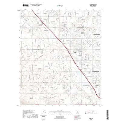 2018 Jaynes2018 Print · USGSNorthwest Tucson and the Santa Cruz River valley are shown in high detail during this era of modern suburban expansion and preserved desert landscapes. Researchers can trace the growth of local communities from Marana to Jaynes and explore the boundaries of Saguaro National Park.
End of results
Showing maps 1-24 of 24
Top cities near Marana
- Tucson historical maps
- Oro Valley historical maps
- Picture Rocks historical maps
- South Tucson historical maps
- Avra Valley historical maps
- Red Rock historical maps
See more
Top neighborhoods of Marana
Frequently asked questions
- What are the different types of historical maps available for Marana?
- What is the oldest map of Marana?
- Where can I purchase historical maps of Marana for my home or office?
- Where can I download high-res historical maps of Marana?
- Are there historical topographic maps available for Marana?
- Is there historical aerial imagery available for Marana?
- Where are historical maps of Marana sourced from?