Old Maps of Valencia West, Arizona for Academic Research
Study the evolution of Valencia West with 36 high-resolution historic maps. Whether you're teaching, researching, or modeling changes in land use, these maps provide essential visual documentation of urban, environmental, and geographic change.
- Analyze long-term change: Track patterns in development, transportation, and natural features.
- Ideal for environmental or urban studies: Support academic projects with primary historical map data.
- Use in the classroom or lab: Educators and researchers rely on these maps to bring historical context to life.
These maps are a powerful tool for teaching, research, and visualizing how Valencia West has changed over the decades.
Valencia West, AZ maps
(36)- 1925 Map of San Xavier
 1925 San Xavier1925 Print · USGSThe Tucson area and the Papago Indian Reservation come to life in this mid-1920s survey. Researchers can trace family-named homesteads such as Kubils Ranch and Coronado Ranch alongside industrial sites like the Arizona Group Mines.
 - 1934 Map of Tucson Mountains
 1934 Tucson Mountains1934 Print · USGSThe desert northwest of Tucson comes into focus during the mid-1930s, showing the early footprints of the Papago Indian Reservation and the railroad corridor. Genealogists and historians can trace family-named sites and ranching outposts like Maisi Ayra Ranch, Rodriguez, and the Maish Roadside Mine.
 - 1943 Map of San Xavier Mission
 1943 San Xavier Mission1943 Print · USGSThe desert landscape southwest of Tucson was a mix of sacred sites and cattle ranches in the early 1940s. Genealogists and historians can trace the foundations of the San Xavier del Bac Mission and locate old homesteads like Triple C Ranch and Robles Well.3 unique versions available
 - 1956 Map of Tucson, 1967 Print
 1956 Tucson1967 Print · USGSPost-war Southern Arizona comes into focus as the copper and aviation industries expand around Tucson. Trace family roots in South Tucson or locate early mining sites like the San Manuel Mine and Silver Bell Mine near the Santa Cruz River.3 unique versions available
 - 1957 Map of San Xavier Mission, 1958 Print
 1957 San Xavier Mission1958 Print · USGSThe desert landscape south of Tucson comes alive in the late fifties, dominated by the Tucson Mountains and the Santa Cruz River valley. Genealogists and historians can trace the foundations of the San Xavier del Bac Mission, the Arizona-Sonora Desert Museum, and early regional airstrips like Ryan Field.2 unique versions available
 - 1958 Map of Tucson
 1958 Tucson1958 Print · USGSSouthern Arizona in the late fifties reveals a landscape of desert agriculture and rising military aviation. Trace the rail lines of the Southern Pacific or locate the historic San Xavier Del Bac Mission and the Casa Grande Natl Mon.
 - 1959 Map of Tucson
 1959 Tucson1959 Print · USGSSouthern Arizona in the late fifties shows a landscape of military growth and desert industry. Genealogists and historians can trace the footprint of Davis-Monthan Air Force Base and old mining sites like the San Manuel Mine near Mammoth.2 unique versions available
 - 1962 Map of Tucson
 1962 Tucson1962 Print · USGSSouthern Arizona in the early sixties showcases a landscape defined by burgeoning desert cities and massive military installations. Researchers can trace tribal settlements like Schuchk, legacy mining sites at Silver Bell Mine, and the early footprint of Davis-Monthan Air Force Base.
 - 1964 Map of Tucson
 1964 Tucson1964 Print · USGSSouthern Arizona in the mid-1960s shows a landscape of burgeoning desert cities and industrial-scale copper mining. Researchers can trace the development of Tucson and its outlying mining districts, including the Silver Bell Mine and San Manuel Mine.
 - 1968 Map of Brown Mountain, 1969 Print
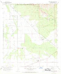 1968 Brown Mountain1969 Print · USGSThe Tucson Mountains and Avra Valley come alive in this late-sixties survey of the Pima County desert. Genealogists and historians can trace desert settlements and landmarks like Old Tucson, the historic Phillips Ranch, and the airfield at Ryan Field.3 unique versions available
 - 1968 Map of San Xavier Mission, 1970 Print
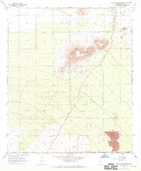 1968 San Xavier Mission1970 Print · USGSThe Santa Cruz Valley was undergoing a major industrial transition in the late sixties as mining operations expanded near the San Xavier del Bac Mission. Researchers can trace the footprint of the San Xavier Indian Reservation and locate old landmarks like the Powder Magazine and Lava Knoll.2 unique versions available
 - 1968 Map of Cat Mountain, 1970 Print
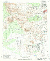 1968 Cat Mountain1970 Print · USGSWestward growth from the city of Tucson into the rugged foothills is captured here during the late sixties. Researchers can trace the development of suburban neighborhoods and schools like Tully Sch alongside landmarks such as St Marys Hospital and Tumamoc Hill.2 unique versions available
 - 1968 Map of San Xavier Mission SW, 1970 Print
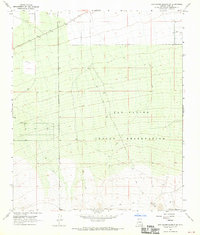 1968 San Xavier Mission SW1970 Print · USGSThe southwestern reaches of the San Xavier Indian Reservation are documented here in the late sixties as a landscape of remote ranching and desert trails. Researchers can trace rural landmarks like J Bar M, the route of Sandario Road, and early water infrastructure at Huff.2 unique versions available
 - 1992 Map of San Xavier Mission, 1995 Print
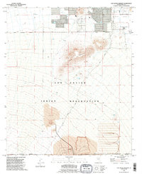 1992 San Xavier Mission1995 Print · USGSThe Santa Cruz Valley in the early 1990s reveals a unique intersection of sacred history and industrial scale. Researchers can trace the grounds of the San Xavier del Bac Mission and the sprawling Mine Dump or Quarry operations near Twin Buttes.
 - 1992 Map of San Xavier Mission SW, 1995 Print
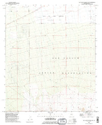 1992 San Xavier Mission SW1995 Print · USGSThe southwestern reaches of the Tucson basin are captured here in the early 1990s, where tribal lands meet the desert valley. Genealogists and historians can trace routes like Sandario Rd or locate specific landmarks such as the J Bar M and Huff survey points.
 - 1992 Map of Brown Mountain, 1995 Print
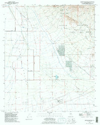 1992 Brown Mountain1995 Print · USGSThe Sonoran desert landscape west of Tucson is documented here in the early nineties, showing the interface of tribal lands and mountain parks. Trace the grounds of Old Tucson (Replica of 1870), explore Ryan Field, or locate the Arizona-Sonora Desert Museum.
 - 1992 Map of Cat Mountain, 1995 Print
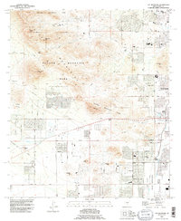 1992 Cat Mountain1995 Print · USGSThe western edges of Tucson in the early nineties show a landscape defined by the Tucson Mountains and expanding infrastructure. Genealogists and historians can trace residential growth near Tumamoc Hill and locate landmarks like Pima Community College or the San Joaquin Aqueduct.
 - 1994 Map of Silver Bell Mountains
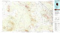 1994 Silver Bell Mountains1994 Print · USGSSouthern Arizona in the mid-nineties shows a land of transition between desert wilderness, tribal lands, and the growing Tucson suburbs. Genealogists and historians can trace settlements like San Luis and Ko Vaya, or follow the industrial legacy of the Silver Bell Mine.2 unique versions available
 - 1996 Map of Brown Mountain, 2002 Print
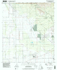 1996 Brown Mountain2002 Print · USGSThe Pima County desert landscape is shown here in the 1990s as it transitions from isolated ranching outposts to a major recreational hub. Researchers can locate the iconic Old Tucson film set and the historic Ryan Field airfield.
 - 1996 Map of Cat Mountain, 2002 Print
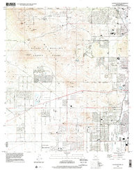 1996 Cat Mountain2002 Print · USGSThe western desert fringes of Tucson and the rugged peaks of the Tucson Mountains are detailed here in the late twentieth century. Researchers can trace tribal lands of the Pascua Yaqui Indian Reservation and historic sites like the Amphitheater Quarries.
 - 2011 Map of Cat Mountain, 2011 Print
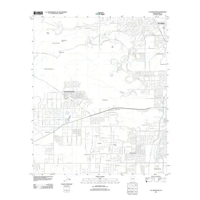 2011 Cat Mountain2011 Print · USGSTucson and its southwestern suburbs meet the rugged desert peaks during a period of significant regional growth. Researchers can trace the development of Drexel Heights and the Santa Cruz Valley alongside landmarks like Tumamoc Hill and Gates Pass.
 - 2011 Map of Brown Mountain, 2011 Print
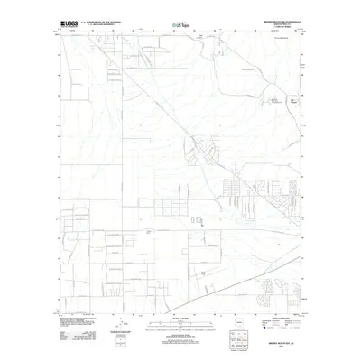 2011 Brown Mountain2011 Print · USGSThe Schuk Toak District and Tucson foothills are shown in this era of suburban desert expansion. Researchers can trace the layout of Old Tucson and Ryan Field, or find local landmarks like Phillips Ranch and King Canyon.
 - 2011 Map of San Xavier Mission SW, 2011 Print
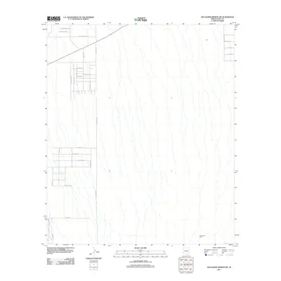 2011 San Xavier Mission SW2011 Print · USGSThe San Xavier District landscape is captured here in the early twenty-first century as desert ranching gives way to suburban grids. Researchers can trace local development through arterial routes like S Sandario Rd and find established sites such as Cottonwood Ranch.
 - 2011 Map of San Xavier Mission, 2011 Print
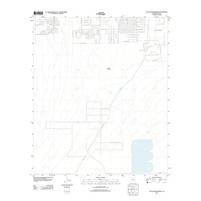 2011 San Xavier Mission2011 Print · USGSThe southern outskirts of Tucson meet tribal lands in the early 2010s. Genealogists and researchers can trace local infrastructure through Tohono O'odham Nation territory and the developments surrounding Black Mountain and S Mission Rd.
 - 2014 Map of Cat Mountain, 2014 Print
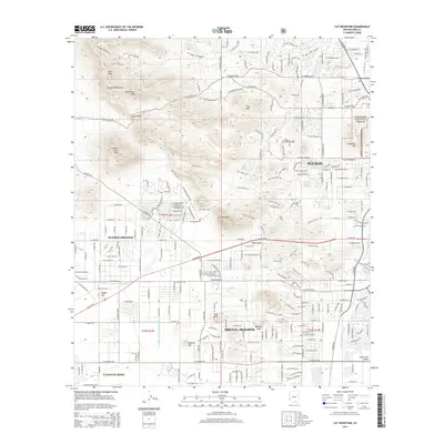 2014 Cat Mountain2014 Print · USGSThe western desert fringes of Tucson come into focus in the mid-2010s, where residential expansion meets the high peaks of the Tucson Mountains. Researchers can trace the integration of suburban Drexel Heights with prominent landmarks like Saginaw Hill and Tumamoc Hill.
Showing maps 1-25 of 36
Top cities near Valencia West
- Tucson historical maps
- Marana historical maps
- Oro Valley historical maps
- Sahuarita historical maps
- Picture Rocks historical maps
- South Tucson historical maps
Top neighborhoods of Valencia West
Frequently asked questions
- What are the different types of historical maps available for Valencia West?
- What is the oldest map of Valencia West?
- Where can I purchase historical maps of Valencia West for my home or office?
- Where can I download high-res historical maps of Valencia West?
- Are there historical topographic maps available for Valencia West?
- Is there historical aerial imagery available for Valencia West?
- Where are historical maps of Valencia West sourced from?