2010s Maps of Sedona, Arizona
Explore 12 historic maps of Sedona from the 2010s. These maps offer a rare glimpse into what life looked like during the 2010s — showing old roads, neighborhoods, homes, and landmarks that have changed or disappeared over time.
Whether you're researching your family's past, planning a metal detecting trip, or studying how Sedona's landscape evolved across the 2010s, these high-resolution maps are a powerful tool for exploring the history of this region.
- Focus on a specific era: All maps on this page are from the 2010s, giving you a focused view of this time period.
- See what’s changed: Compare century-old streets, trails, and buildings to today's modern landscape using overlays and satellite layers.
- Research with precision: Use these maps for genealogy, historical research, land use analysis, or educational projects.
- View, download, or print: Maps are fully viewable online in high resolution, and can be downloaded or printed for your own records.
Start exploring Sedona's history through authentic maps from the 2010s. This is your window into the past.
Sedona, AZ maps
(12)- 2011 Map of Munds Mountain, 2011 Print
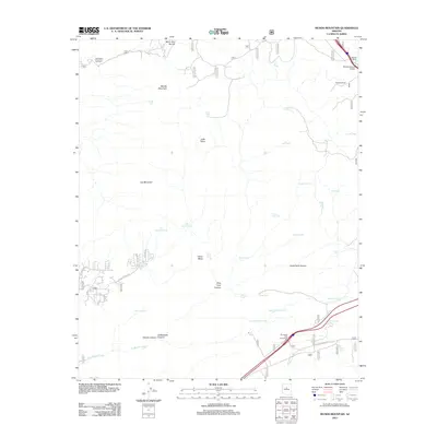 2011 Munds Mountain2011 Print · USGSThe Sedona backcountry at the turn of the decade is revealed through its intricate canyons and cattle-country infrastructure. Researchers can trace the layout of Woods Ranch or locate named landmarks like Robbers Roost and Merry-Go-Round.
 - 2011 Map of Munds Park, 2011 Print
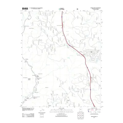 2011 Munds Park2011 Print · USGSCoconino County's high country and canyon floors are captured here in the early twenty-first century as recreation and residency define the landscape. Trace the rugged terrain from Oak Creek Canyon to the residential streets of Munds Park and landmarks like Schnebly Hill Vista.
 - 2011 Map of Wilson Mountain, 2011 Print
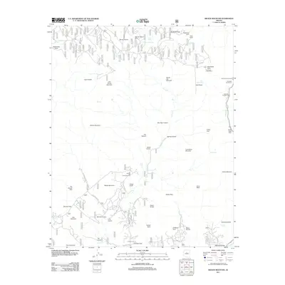 2011 Wilson Mountain2011 Print · USGSThe Sedona backcountry and high forest plateaus are captured here in the early 2000s, showing a transition from recreation to wilderness. Researchers can trace forest management through the East Pocket Lookout Tower and early developed sites like Banjo Bill Campground or the Sedona-Oak Creek Golf Course.
 - 2011 Map of Sedona, 2011 Print
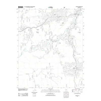 2011 Sedona2011 Print · USGSThe Sedona area at the start of the 2010s reveals a unique intersection of modern development and iconic geological landmarks. Trace the growth of Sedona and Big Park while locating sites like Baldwins Crossing and Devils Dining Room.
 - 2014 Map of Wilson Mountain, 2014 Print
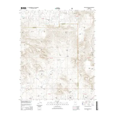 2014 Wilson Mountain2014 Print · USGSThe red rock country surrounding Sedona appears here in high detail during its twenty-first-century expansion. Researchers can trace the proximity of West Sedona to geological landmarks like Devils Bridge, Vultee Arch, and the towering Wilson Mountain.
 - 2014 Map of Sedona, 2014 Print
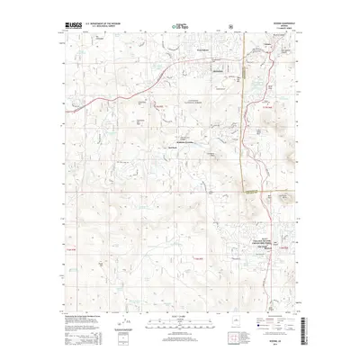 2014 Sedona2014 Print · USGSThe high desert landscape around Sedona is mapped here at the height of its modern growth, showing the intricate relationship between development and the surrounding forest. Trace historical ranching and water marks like Baldwins Crossing, Girdner Tank, and the sprawling Coconino National Forest.
 - 2014 Map of Munds Park, 2014 Print
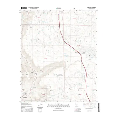 2014 Munds Park2014 Print · USGSSedona and the high plateaus of the Coconino National Forest are captured here in the early twenty-first century. Researchers can trace historic access routes like Schnebly Hill Rd and find landmarks such as Midgley Bridge and Indian Gardens.
 - 2014 Map of Munds Mountain, 2014 Print
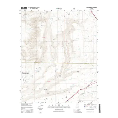 2014 Munds Mountain2014 Print · USGSThe Red Rock country around Sedona and the Village of Oak Creek is shown here in the mid-2010s. Researchers can trace land management across the Coconino National Forest and locate specific features like Schnebly Hill and Munds Mountain.
 - 2018 Map of Munds Park, 2018 Print
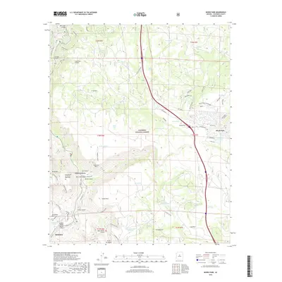 2018 Munds Park2018 Print · USGSArizona's red rock transitions and high-country forests are captured here just before the end of the decade. Trace historic routes like Schnebly Hill Rd, locate the settlement at Indian Gardens, and see the development around Odell Lake.
 - 2018 Map of Wilson Mountain, 2018 Print
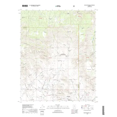 2018 Wilson Mountain2018 Print · USGSThe red rock country surrounding Sedona is shown in detail during the late 2010s, illustrating the intersection of residential growth and the Coconino National Forest. Researchers can trace trail networks like the Ant Hill Loop or locate geological landmarks such as Devils Bridge and Fay Canyon Arch.
 - 2018 Map of Sedona, 2018 Print
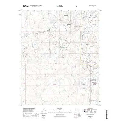 2018 Sedona2018 Print · USGSSedona and the Coconino National Forest are captured here in the late twenty-first century, showing the town's growth alongside iconic geological landmarks. Researchers and hikers can trace the intricate trail systems around Cathedral Rock and Bell Rock or locate regional sites like the Sedona Airport and Sedona Memorial Park.
 - 2018 Map of Munds Mountain, 2018 Print
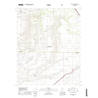 2018 Munds Mountain2018 Print · USGSThe high desert plateaus and canyons of the Mogollon Rim are documented here in the early twenty-first century. Hikers and historians can trace traditional routes like Munds Wagon and find water sources like Lee Mountain Spring and Jacks Point Tank.
End of results
Showing maps 1-12 of 12
Top cities near Sedona
- Cottonwood historical maps
- Camp Verde historical maps
- Munds Park historical maps
- Mountainaire historical maps
Top neighborhoods of Sedona
Frequently asked questions
- What are the different types of historical maps available for Sedona?
- What is the oldest map of Sedona?
- Where can I purchase historical maps of Sedona for my home or office?
- Where can I download high-res historical maps of Sedona?
- Are there historical topographic maps available for Sedona?
- Is there historical aerial imagery available for Sedona?
- Where are historical maps of Sedona sourced from?