Old Maps of Ash Fork, Arizona for Metal Detecting
Plan your next treasure hunt with 26 historic maps of Ash Fork. Find old homesites, ghost towns, trails, and gathering spots that may be lost to time — perfect for identifying promising metal detecting locations.
- Locate forgotten sites: Uncover places like long-lost settlements, abandoned rail lines, or gathering spots.
- Plan better hunts: Use map overlays combined with LiDAR or satellite views to narrow in on historically rich areas.
- Made for detectorists: Thousands of hobbyists use these maps to discover relics, coins, and hidden history.
Use these historic maps to boost your research and find new opportunities beneath the surface of Ash Fork.
Ash Fork, AZ maps
(26)- 1886 Map of Chino
 1886 Chino1886 Print · USGSThe northern Arizona frontier comes to life in the 1880s as the rail line pushes across the high desert and mountain plateaus. Researchers can trace early water sources and settlements like Garland Ranch, Kerlin Well, and the historic Beale Wagon road.2 unique versions available
 - 1891 Map of Chino
 1891 Chino1891 Print · USGSIn the high country of northern Arizona during the late nineteenth century, the arrival of the railroad began to reshape the old frontier. Trace the route of the historic Beale Wagon road and find early mountain settlements and rail stops like Ash Fork, Williams, and Garland Ranch.4 unique versions available
 - 1922 Map of Williams
 1922 Williams1922 Print · USGSNorthern Arizona's high plateau during the early 1920s reveals a landscape of forestry and rail expansion. Trace early ranger stations and small rail stops like Fairview, Meath, and the Wood Spur logging line.
 - 1947 Map of Ash Fork, 1957 Print
 1947 Ash Fork1957 Print · USGSThe high desert around Ash Fork was a vital rail and ranching corridor in the late 1940s. Genealogists and historians can trace the Atchison Topeka & Santa Fe line past Evans Ranch and remote water features like Irishman Dam.3 unique versions available
 - 1947 Map of Picacho Butte, 1958 Print
 1947 Picacho Butte1958 Print · USGSArizona's high desert ranching country comes into focus in the late 1940s, showcasing the isolated cattle operations and water works of Yavapai County. Genealogists and historians can trace family-named sites like Fritsche Ranch and CV Ranch or locate early infrastructure such as Cotton Dam.2 unique versions available
 - 1948 Map of Ash Fork
 1948 Ash Fork1948 Print · USGSIn the late 1940s, the railroad town of Ashfork served as a gateway to the ranching country at the edge of the Coconino plateau. Researchers can trace the water-management history of the high desert through features like Irishman Dam, McLellan Res, and the Quarter Circle XX Ranch.
 - 1948 Map of Williams
 1948 Williams1948 Print · USGSNorthern Arizona is captured here during the post-war era of roadside travel and heavy rail transport along the Santa Fe line. Researchers can trace the path of Route 66 through settlements like Seligman, Valentine, and Hackberry while exploring the vast terrain of the Hualpai Indian Reservation.2 unique versions available
 - 1948 Map of Picacho Butte
 1948 Picacho Butte1948 Print · USGSArizona ranching and forest lands are captured here just after the war, showing the working landscape of Yavapai County. Researchers can trace historic property boundaries and water infrastructure at K4 Farm, CV Ranch, and Mexican Dam.
 - 1949 Map of Ash Fork
 1949 Ash Fork1949 Print · USGSAsh Fork and the surrounding high plateau of northern Arizona are captured here in the late 1940s as rail and ranching dominated the landscape. Genealogists and local historians can trace family-named sites like Brown Place, Evans Ranch, and the railway junction at Sereno.
 - 1950 Map of Picacho Butte
 1950 Picacho Butte1950 Print · USGSYavapai County ranching and forest lands are captured here at mid-century, before modernization altered the high-desert range. Researchers can trace historic operations at the K4 Farm and CV Ranch or locate the old Stone Quarry and Mexican Dam.
 - 1954 Map of Williams, 1972 Print
 1954 Williams1972 Print · USGSThe high plateau of Northern Arizona is captured here during the mid-fifties, showing the rail-and-road corridor before the interstate era. You can trace family roots through remote railroad stops like Audley and Pica or locate early landmarks such as Grand Canyon Caverns and Frazier Wells.
 - 1956 Map of Williams, 1963 Print
 1956 Williams1963 Print · USGSNorthern Arizona in the mid-fifties reveals a landscape shaped by the Atchison Topeka and Santa Fe railroad and the iconic Highway 66. Trace the route of early travelers through Peach Springs, Seligman, and Ash Fork, or find remote sites like the Music Mountain Mine (Gold).3 unique versions available
 - 1960 Map of Williams
 1960 Williams1960 Print · USGSNorthern Arizona in the mid-twentieth century was defined by its massive canyons and the vital rail line connecting its remote ranches. Genealogists and historians can trace the development of Peach Springs, the high-altitude Bill Williams Mountain, and isolated outposts like Diamond Bar Ranch.
 - 1961 Map of Williams
 1961 Williams1961 Print · USGSNorthern Arizona in the mid-fifties reveals a high-desert landscape of rail towns and deep canyons along the Atchison Topeka and Santa Fe. Researchers can trace old Route 66 through Peach Springs, Seligman, and Ash Fork, or find remote sites like Music Mountain Mine.
 - 1973 Map of Cathedral Caves, 1976 Print
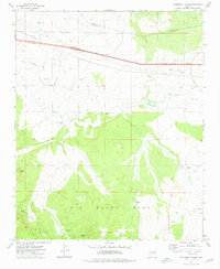 1973 Cathedral Caves1976 Print · USGSYavapai and Coconino counties are surveyed here in the early seventies, capturing a landscape of high mesas and critical water tanks. Trace the Old Railroad Grade and A T & S F lines near landmarks like Cathedral Caves and Smith Butte.
 - 1979 Map of Ash Fork
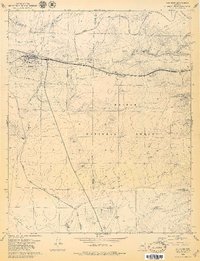 1979 Ash Fork1979 Print · USGSAsh Fork thrived as a critical railway and highway junction in the late seventies. Researchers can trace the local infrastructure and land use through the Atchison Topeka and Santa Fe line, the Cem, and numerous Cinder Pits scattered across the Kaibab National Forest.3 unique versions available
 - 1983 Map of Williams, 1984 Print
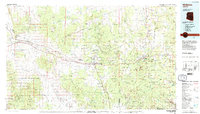 1983 Williams1984 Print · USGSThe high plateaus and ranching country of northern Arizona are captured here in the early eighties as the modern interstate era matured. Researchers can trace the rail corridor of the Atchison Topeka and Santa Fe through Ash Fork, Seligman, and the slopes of Bill Williams Mountain.3 unique versions available
 - 2011 Map of Cathedral Caves, 2011 Print
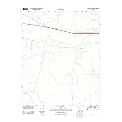 2011 Cathedral Caves2011 Print · USGSThe high-desert ranch lands of Yavapai County are captured here just after the first decade of the millennium, showing a landscape defined by seasonal washes and cattle tanks. Researchers can trace the legacy of regional transport along the Old Railroad Bed near Pinaveta or locate landmarks like Smith Butte.
 - 2012 Map of Ash Fork, 2012 Print
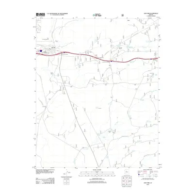 2012 Ash Fork2012 Print · USGSAsh Fork and the surrounding Yavapai County high desert are captured here in the modern era as a nexus of ranching and transportation. Researchers can trace the layout of the Ash Fork Cem, locate ranching landmarks like Quarter Circle X X Ranch, and find historical water sites including Steel Dam Reservoir.
 - 2014 Map of Cathedral Caves, 2014 Print
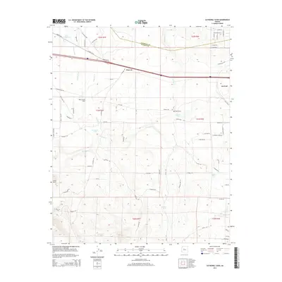 2014 Cathedral Caves2014 Print · USGSThe high-desert terrain near the Coconino and Yavapai county line is shown here in the early twenty-first century. Researchers can trace historic transportation routes including Historic US-66, an Old Railroad Bed, and water features like Little Pineveta Tank.
 - 2014 Map of Ash Fork, 2014 Print
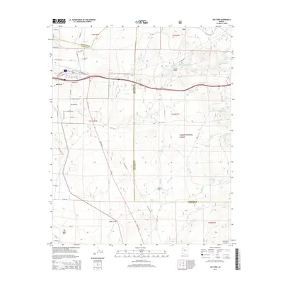 2014 Ash Fork2014 Print · USGSAsh Fork and the surrounding high country are captured here at the junction of the old Route 66 and the Yavapai-Coconino county line. Genealogists and historians can trace the local landscape from Ash Fork Cem to the water-scarce range land of Big Black Mesa and Steel Dam Reservoir.
 - 2018 Map of Ash Fork, 2018 Print
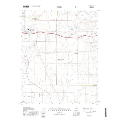 2018 Ash Fork2018 Print · USGSAsh Fork and the surrounding high plateau are captured here in the late 2010s, highlighting the intersection of historic transit and desert ranching. Genealogists and local historians can trace landmarks like the Ash Fork Cem, the Steel Dam Reservoir, and Johnson Canyon.
 - 2018 Map of Cathedral Caves, 2018 Print
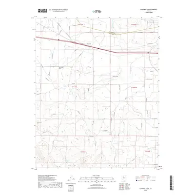 2018 Cathedral Caves2018 Print · USGSHigh-desert ranchlands and railroad history converge in Yavapai County during the late twenty-tens. Genealogists and historians can trace the Old Railroad Bed near Pinaveta or locate family-named landmarks like Smith Butte and Tom Lockett Draw.
 - 2021 Map of Cathedral Caves, 2021 Print
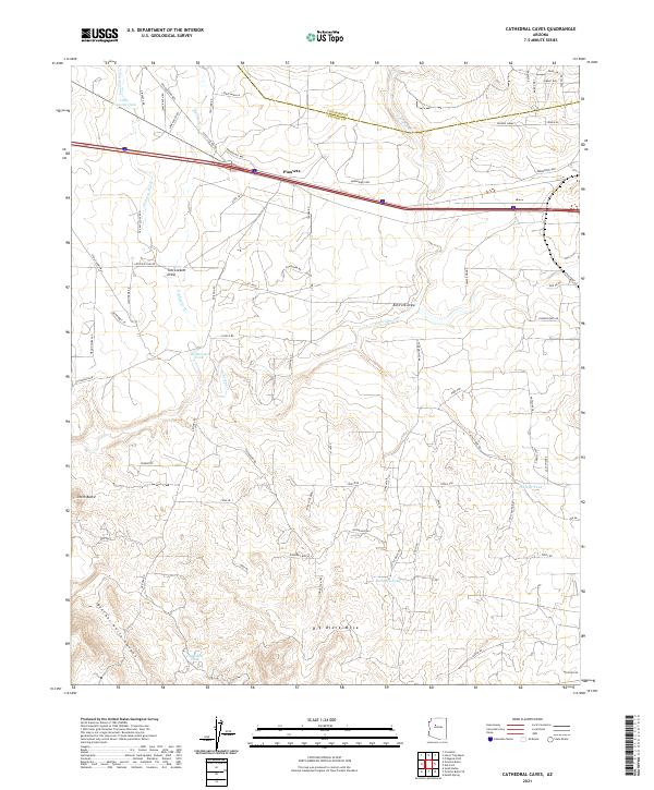 2021 Cathedral Caves2021 Print · USGSThe arid plateaus of Yavapai County are documented here in recent years, highlighting a landscape of ranching roads and remote water tanks. Genealogists and historians can trace local landmarks like Pinaveta, the Old Railroad Bed, and Big Black Mesa.
 - 2021 Map of Ash Fork, 2021 Print
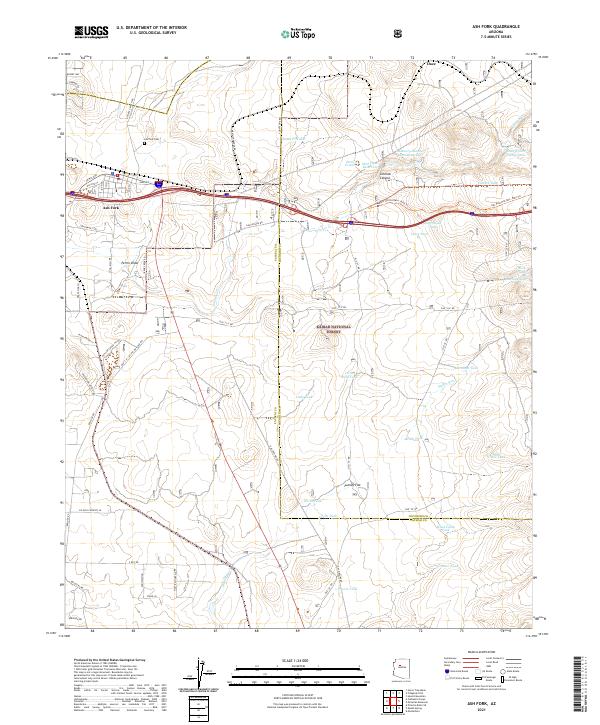 2021 Ash Fork2021 Print · USGSAsh Fork and the surrounding high desert are captured in this contemporary survey as the town continues its role as a crossroads between forest and ranch land. Researchers can locate the Ash Fork Cem and trace historic water infrastructure from Steel Dam Reservoir to the Santa Fe Tank.
Showing maps 1-25 of 26
Top cities near Ash Fork
Frequently asked questions
- What are the different types of historical maps available for Ash Fork?
- What is the oldest map of Ash Fork?
- Where can I purchase historical maps of Ash Fork for my home or office?
- Where can I download high-res historical maps of Ash Fork?
- Are there historical topographic maps available for Ash Fork?
- Is there historical aerial imagery available for Ash Fork?
- Where are historical maps of Ash Fork sourced from?