2000s (21st Century) Maps of Ash Fork, Arizona
Explore 9 historic maps of Ash Fork from the 2000s (21st Century). These maps offer a rare glimpse into what life looked like during the 2000s — showing old roads, neighborhoods, homes, and landmarks that have changed or disappeared over time.
Whether you're researching your family's past, planning a metal detecting trip, or studying how Ash Fork's landscape evolved across the 2000s, these high-resolution maps are a powerful tool for exploring the history of this region.
- Focus on a specific era: All maps on this page are from the 2000s, giving you a focused view of this time period.
- See what’s changed: Compare century-old streets, trails, and buildings to today's modern landscape using overlays and satellite layers.
- Research with precision: Use these maps for genealogy, historical research, land use analysis, or educational projects.
- View, download, or print: Maps are fully viewable online in high resolution, and can be downloaded or printed for your own records.
Start exploring Ash Fork's history through authentic maps from the 2000s. This is your window into the past.
Ash Fork, AZ maps
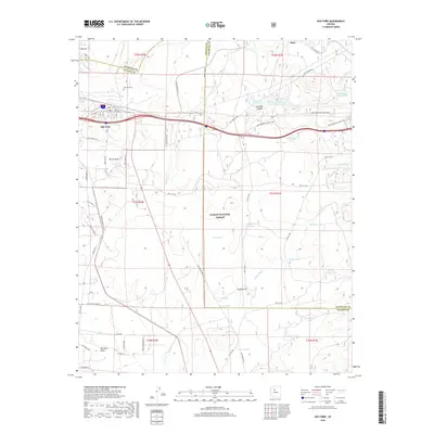
(9)- 2011 Map of Cathedral Caves, 2011 Print
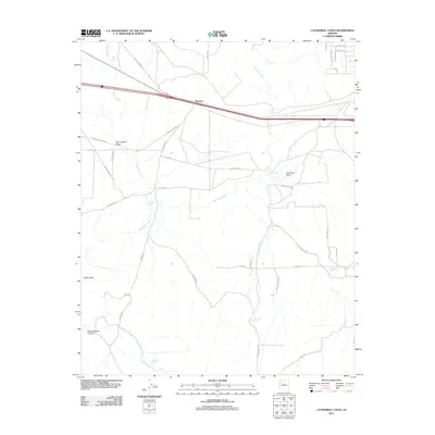 2011 Cathedral Caves2011 Print · USGSCovers Ash Fork, including Yavapai County, Coconino County, and other nearby areas
 - 2012 Map of Ash Fork, 2012 Print
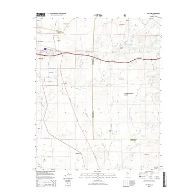
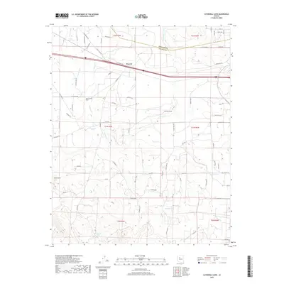
 2012 Ash Fork2012 Print · USGSCovers Ash Fork, including Yavapai County, Coconino County, and other nearby areas
 - 2014 Map of Cathedral Caves, 2014 Print
 2014 Cathedral Caves2014 Print · USGSCovers Ash Fork, including Yavapai County, Coconino County, and other nearby areas
 - 2014 Map of Ash Fork, 2014 Print
 2014 Ash Fork2014 Print · USGSCovers Ash Fork, including Yavapai County, Coconino County, and other nearby areas
 - 2018 Map of Ash Fork, 2018 Print
 2018 Ash Fork2018 Print · USGSCovers Ash Fork, including Yavapai County, Coconino County, and other nearby areas
 - 2018 Map of Cathedral Caves, 2018 Print
 2018 Cathedral Caves2018 Print · USGSCovers Ash Fork, including Yavapai County, Coconino County, and other nearby areas
 - 2021 Map of Cathedral Caves, 2021 Print
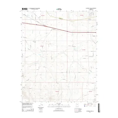
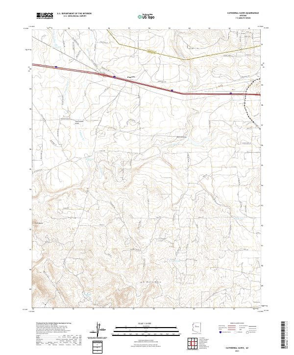 2021 Cathedral Caves2021 Print · USGSThe arid plateaus of Yavapai County are documented here in recent years, highlighting a landscape of ranching roads and remote water tanks. Genealogists and historians can trace local landmarks like Pinaveta, the Old Railroad Bed, and Big Black Mesa.
 - 2021 Map of Ash Fork, 2021 Print
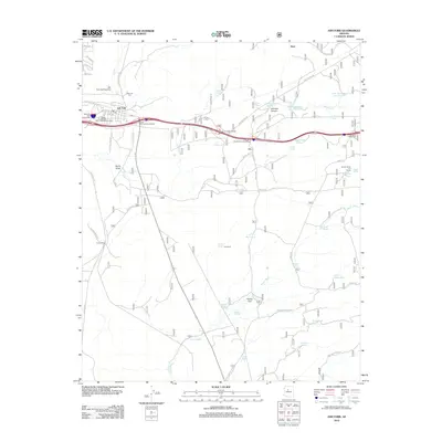
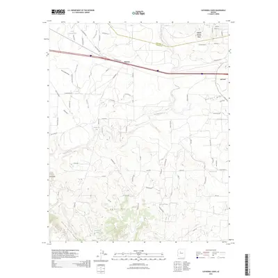
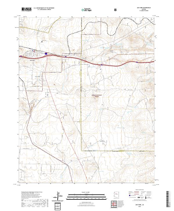 2021 Ash Fork2021 Print · USGSAsh Fork and the surrounding high desert are captured in this contemporary survey as the town continues its role as a crossroads between forest and ranch land. Researchers can locate the Ash Fork Cem and trace historic water infrastructure from Steel Dam Reservoir to the Santa Fe Tank.
 - 2026 Map of Cathedral Caves, 2026 Print
 2026 Cathedral Caves2026 Print · USGSCovers Ash Fork, including Yavapai County, Coconino County, and other nearby areas
End of results
Showing maps 1-9 of 9
Top cities near Ash Fork
Frequently asked questions
- What are the different types of historical maps available for Ash Fork?
- What is the oldest map of Ash Fork?
- Where can I purchase historical maps of Ash Fork for my home or office?
- Where can I download high-res historical maps of Ash Fork?
- Are there historical topographic maps available for Ash Fork?
- Is there historical aerial imagery available for Ash Fork?
- Where are historical maps of Ash Fork sourced from?