2020s Maps of Yuma County, Arizona
Explore 125 historic maps of Yuma County from the 2020s. These maps offer a rare glimpse into what life looked like during the 2020s — showing old roads, neighborhoods, homes, and landmarks that have changed or disappeared over time.
Whether you're researching your family's past, planning a metal detecting trip, or studying how Yuma County's landscape evolved across the 2020s, these high-resolution maps are a powerful tool for exploring the history of this region.
- Focus on a specific era: All maps on this page are from the 2020s, giving you a focused view of this time period.
- See what’s changed: Compare century-old streets, trails, and buildings to today's modern landscape using overlays and satellite layers.
- Research with precision: Use these maps for genealogy, historical research, land use analysis, or educational projects.
- View, download, or print: Maps are fully viewable online in high resolution, and can be downloaded or printed for your own records.
Start exploring Yuma County's history through authentic maps from the 2020s. This is your window into the past.
Yuma County, AZ maps
(125)- 2021 Map of Somerton, 2021 Print
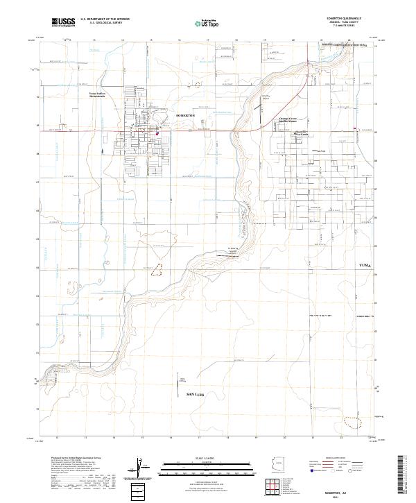 2021 Somerton2021 Print · USGSArizona's agricultural heartland south of Yuma is captured here in the early twenty-first century. Researchers can trace the network of irrigation laterals like Somerton Canal and locate residential developments including Rancho Mesa Verde and Yuma Indian Homesteads.
 - 2021 Map of Vopoki Ridge SE, 2021 Print
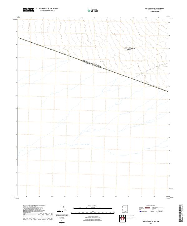 2021 Vopoki Ridge SE2021 Print · USGSThe international border between Arizona and Mexico takes center stage in this 2021 survey of Yuma County. Researchers can trace the exact alignment of the United States of America Estados Unidos Mexicanos boundary as it cuts across the desert landscape.
 - 2021 Map of Baragan Mountain, 2021 Print
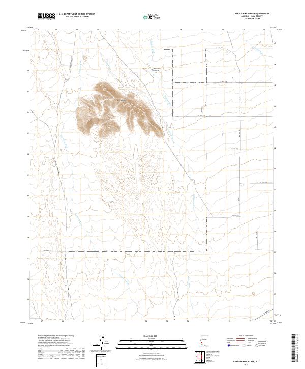 2021 Baragan Mountain2021 Print · USGSYuma County during the early 2020s remains a landscape of desert drainage and remote roads. Researchers can trace the paths of Red Raven Wash and Deadman Wash around the slopes of Baragan Mtn and along Hyder Rd.
 - 2021 Map of Palomas Mountains SW, 2021 Print
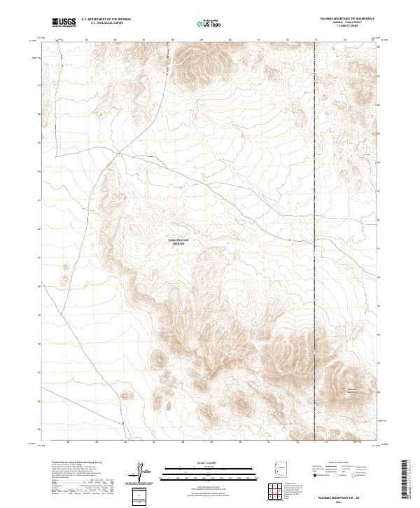 2021 Palomas Mountains SW2021 Print · USGSThe arid landscape of Yuma County is documented in the 2020s, highlighting the topographical complexity of the desert floor. Map enthusiasts and researchers can trace the ridgelines of the Palomas Mountains and examine the extensive land survey grids across T4S R14W and T5S R14W.
 - 2021 Map of Dome, 2021 Print
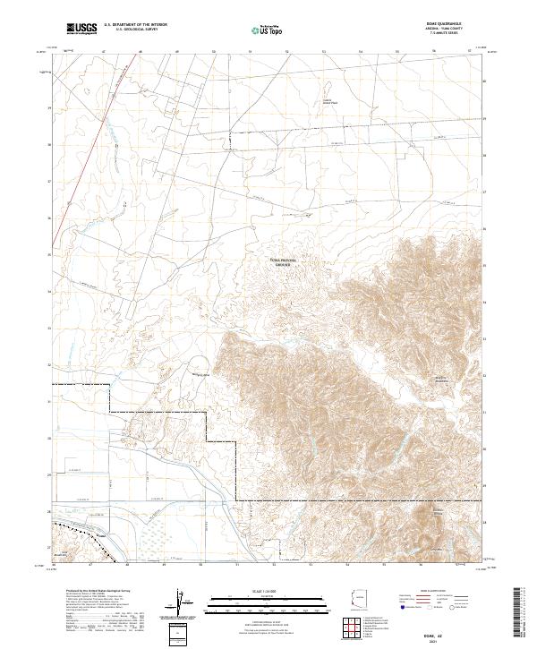 2021 Dome2021 Print · USGSThe desert landscape near the Gila River comes into focus in this recent survey of the Arizona borderlands. Local history enthusiasts can trace the path of the E Butterfield Stage Rd near the settlement of Dome or locate landmarks like Klothos Temple.
 - 2021 Map of Cipriano Pass, 2021 Print
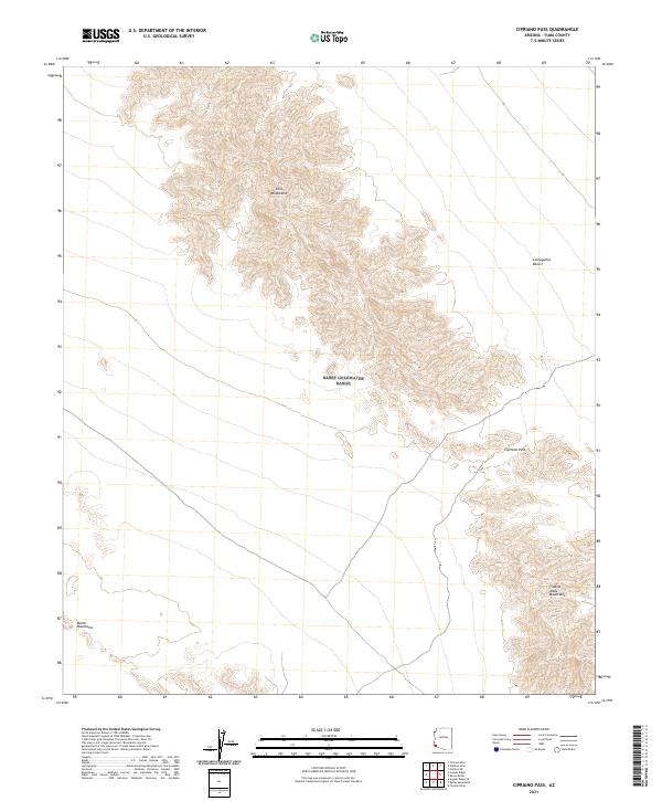 2021 Cipriano Pass2021 Print · USGSYuma County’s arid interior is documented here in the early twenty-first century, showing the critical desert corridors of the Southwest. Researchers can trace the physical gap at Cipriano Pass and the terrain of the Gila Mountains and Tinajas Altas Mountains.
 - 2021 Map of Horn, 2021 Print
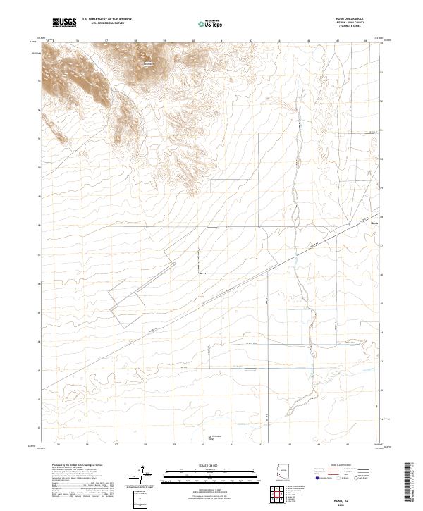 2021 Horn2021 Print · USGSYuma County during the early twenty-first century reveals a landscape defined by the intersection of desert mountains and river valley irrigation. Genealogists and historians can trace the settlement of Horn and the path of the Gila River as it winds near Hoodoo Wash.
 - 2021 Map of Livingston Hills, 2021 Print
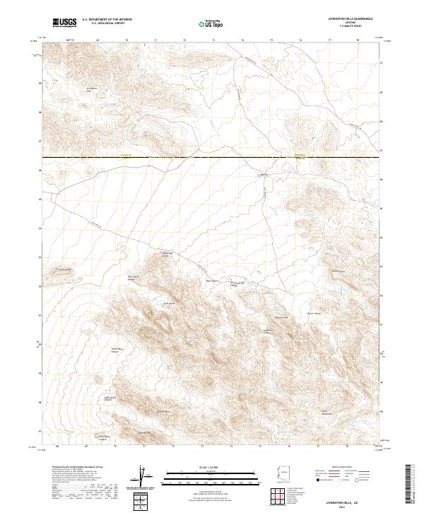 2021 Livingston Hills2021 Print · USGSThe high desert border of La Paz and Yuma counties is captured here in the early twenty-first century. Researchers can trace remote routes like Valve Two Rd to find isolated landmarks and water sources such as Budweiser Spring, Beehive, and Brass Cap Point.
 - 2021 Map of Gadsden, 2021 Print
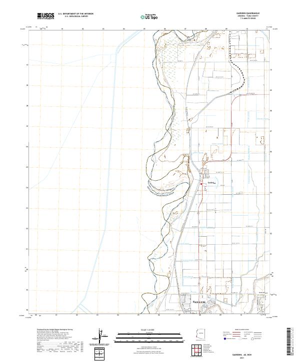 2021 Gadsden2021 Print · USGSThe Arizona-Mexico border comes into focus in this recent survey of the southern Yuma Valley. Researchers can trace the sophisticated irrigation network that supports Gadsden and San Luis, including the Noe Canal and Horn Lateral.
 - 2021 Map of Granite Mountains South, 2021 Print
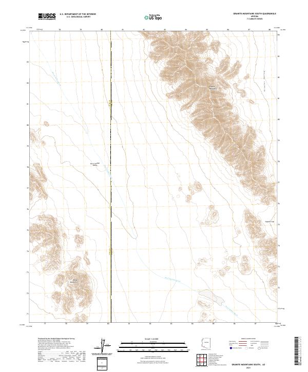 2021 Granite Mountains South2021 Print · USGSArizona's high desert reaches are captured here in the early twenty-first century, showing the remote borderlands of Pima and Yuma counties. Map collectors and researchers can trace the vast San Cristobal Valley and mountain passes like Saguaro Gap.
 - 2021 Map of West of Vopoki Ridge, 2021 Print
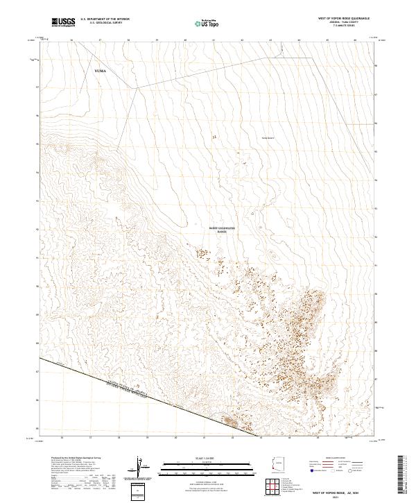 2021 West of Vopoki Ridge2021 Print · USGSThe international boundary meets the southwestern Arizona desert in this recent survey of the borderlands. Researchers can trace the path of Border Rd along the United States Of America Estados Unidos Mexicanos line and the wide expanse of the Yuma Desert.
 - 2021 Map of Yuma SE, 2021 Print
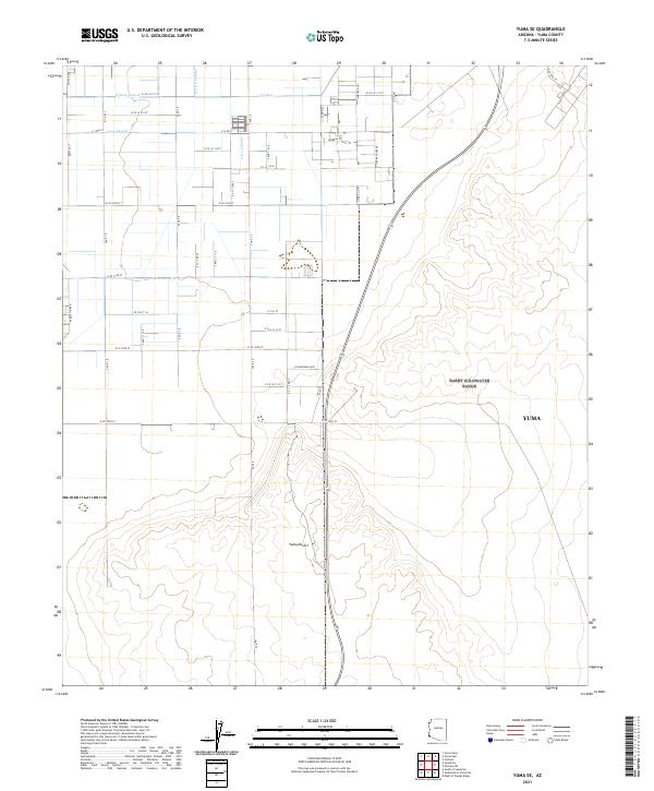 2021 Yuma SE2021 Print · USGSSoutheast of Yuma in the early 2020s, the landscape shows a precision-engineered grid of irrigation and agriculture. Researchers can trace the sophisticated water network of the A Canal, the B Main Lateral, and the transition into the open Yuma Desert.
 - 2021 Map of Buck Peak, 2021 Print
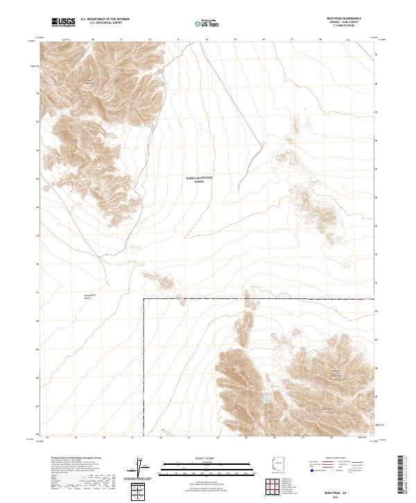 2021 Buck Peak2021 Print · USGSThe desert frontier of Yuma County is documented here in the early twenty-first century. Researchers can trace the high-elevation landmarks of Buck Peak and the Cabeza Prieta Mountains or locate water at Buck Peak Tank amidst the Lechuguilla Desert.
 - 2021 Map of Engesser Pass, 2021 Print
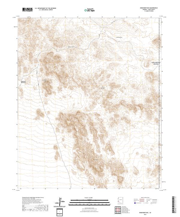 2021 Engesser Pass2021 Print · USGSThe high desert of Yuma County remains a study in isolation and geology in this recent survey. Trace the narrow route through Engesser Pass to Engesser Junction, or locate landmarks like Courthouse Mtn and Black Dome.
 - 2021 Map of Fortuna SW, 2021 Print
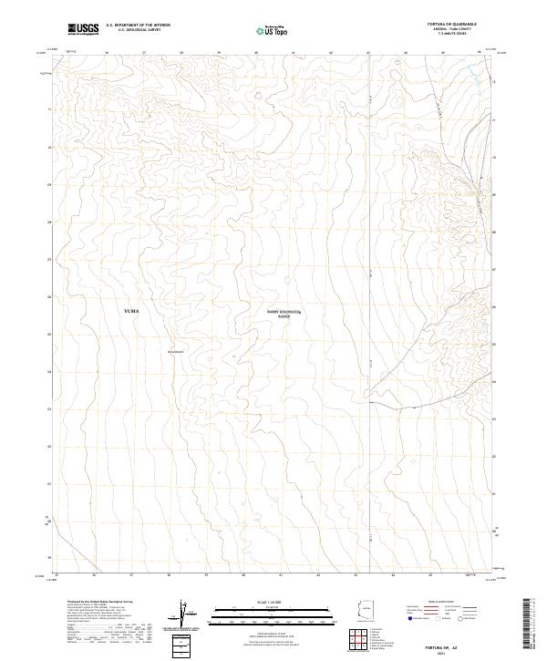 2021 Fortuna SW2021 Print · USGSYuma's desert frontier is documented in this contemporary survey, capturing the arid landscape as it appeared in the early 2020s. Researchers can trace the path of Fortuna Wash and follow historic desert routes like Cam Del Diablo.
 - 2021 Map of Middle Mountains North, 2021 Print
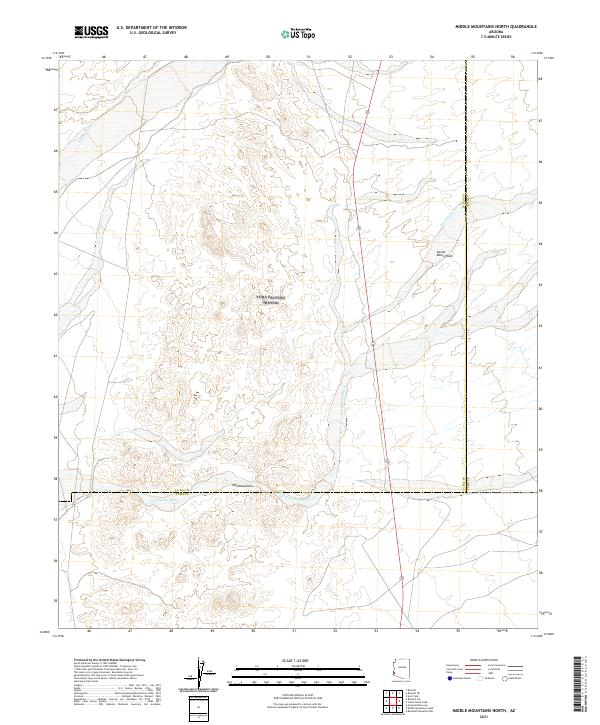 2021 Middle Mountains North2021 Print · USGSArizona's desert borders are mapped in detail during this recent survey of the region south of the Mid Mountains. Researchers and explorers can trace the complex drainage paths of Indian Wash and Los Angeles Wash across the Castle Dome Plain.
 - 2021 Map of Nottbusch Butte, 2021 Print
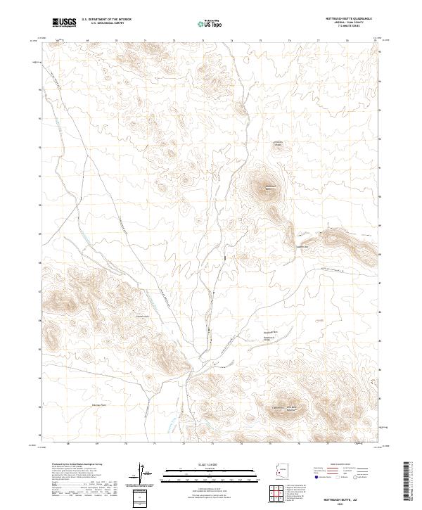 2021 Nottbusch Butte2021 Print · USGSIn the arid basins of Yuma County, this contemporary survey shows a landscape of expansive plains and isolated peaks. Researchers can trace the paths of Deadman Wash and locate landforms like Nottbusch Butte and Cemetery Ridge.
 - 2021 Map of Livingston Hills NW, 2021 Print
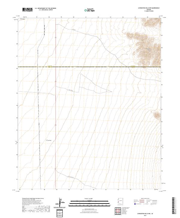 2021 Livingston Hills NW2021 Print · USGSThe desert frontier between La Paz and Yuma counties is documented here in the early twenty-first century. Researchers can trace the path of Tyson Wash and identify access routes through the La Posa Plain via Palm Canyon Rd.
 - 2021 Map of Charlie Died Tank, 2021 Print
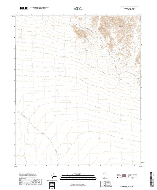 2021 Charlie Died Tank2021 Print · USGSThe high desert of Yuma County remains a sparsely traveled landscape in the early twenty-first century. Researchers can trace the path of the Wellton-Kofa Rd as it bypasses the slopes of the Kofa Mountains and crosses the wide Yaqui Wash.
 - 2021 Map of Tweed Mine, 2021 Print
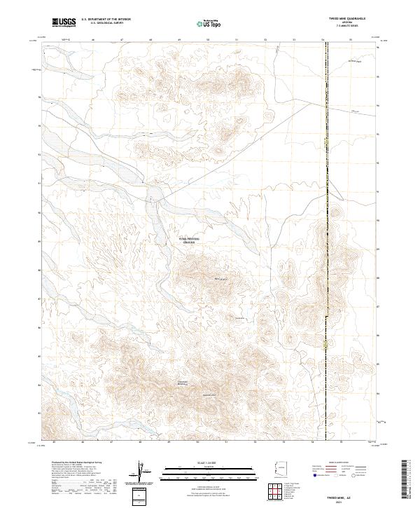 2021 Tweed Mine2021 Print · USGSThe Arizona desert at the La Paz and Yuma county line is captured here in the early twenty-first century. Researchers can locate the historic Tweed Mine and trace the paths of Mohave Wash and Gould Wash through the Chocolate Mountains.
 - 2021 Map of Owl Head, 2021 Print
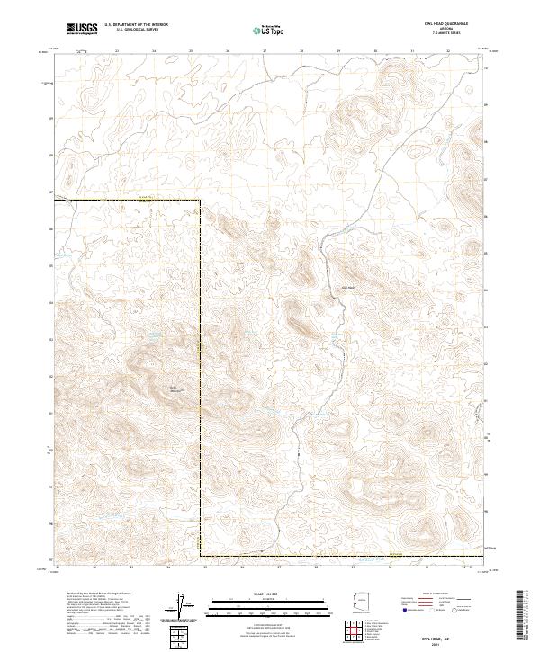 2021 Owl Head2021 Print · USGSThe Kofa Mountains and the desert border of La Paz and Yuma Counties are captured here in the early twenty-first century. Researchers can trace critical water sources and old mining tracks, including Alamo Spring, Wilkinson Seep, and the Kofa Manganese Rd.
 - 2021 Map of Trigo Pass, 2021 Print
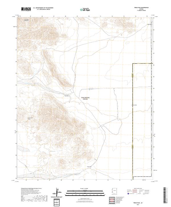 2021 Trigo Pass2021 Print · USGSThe Arizona desert at the start of the 2020s shows a landscape shaped by ancient crossings and seasonal washes. Researchers can trace the traditional routes through the Dome Rock Mountains at Trigo Pass and follow the path of Tyson Wash.
 - 2021 Map of Coyote Water, 2021 Print
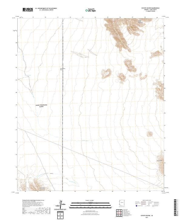 2021 Coyote Water2021 Print · USGSIn the arid borderlands of the early twenty-first century, this survey tracks the essential drainage systems and mountain ranges of Yuma County. Researchers can trace the paths of Coyote Wash and La Jolla Wash or locate landmarks like Coyote Water.
 - 2021 Map of Castle Dome Peak, 2021 Print
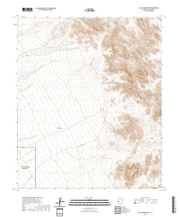 2021 Castle Dome Peak2021 Print · USGSThe Castle Dome Mountains stand in isolation within Yuma County, Arizona, during this recent survey of the high desert. Researchers can trace the path of Castle Dome Mine Rd and locate the secluded Doc Carter Spring near Castle Dome Peak.
 - 2021 Map of Red Bluff Mountain East, 2021 Print
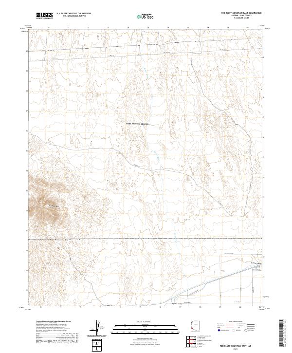 2021 Red Bluff Mountain East2021 Print · USGSThe desert landscape of eastern Yuma County is captured here in the early twenty-first century, centered on the heights of Red Bluff Mtn. Researchers can trace the drainage of Big Eye Wash and navigate the corridors of Wellton Kofa Rd and Mohawk Canal Rd.
Showing maps 1-25 of 125
Top cities of Yuma County
- Yuma historical maps
- Fortuna Foothills historical maps
- San Luis historical maps
- Somerton historical maps
- Avenue B & C historical maps
- Wellton historical maps
See more
Frequently asked questions
- What are the different types of historical maps available for Yuma County?
- What is the oldest map of Yuma County?
- Where can I purchase historical maps of Yuma County for my home or office?
- Where can I download high-res historical maps of Yuma County?
- Are there historical topographic maps available for Yuma County?
- Is there historical aerial imagery available for Yuma County?
- Where are historical maps of Yuma County sourced from?