2010s Maps of Yuma County, Arizona
Explore 354 historic maps of Yuma County from the 2010s. These maps offer a rare glimpse into what life looked like during the 2010s — showing old roads, neighborhoods, homes, and landmarks that have changed or disappeared over time.
Whether you're researching your family's past, planning a metal detecting trip, or studying how Yuma County's landscape evolved across the 2010s, these high-resolution maps are a powerful tool for exploring the history of this region.
- Focus on a specific era: All maps on this page are from the 2010s, giving you a focused view of this time period.
- See what’s changed: Compare century-old streets, trails, and buildings to today's modern landscape using overlays and satellite layers.
- Research with precision: Use these maps for genealogy, historical research, land use analysis, or educational projects.
- View, download, or print: Maps are fully viewable online in high resolution, and can be downloaded or printed for your own records.
Start exploring Yuma County's history through authentic maps from the 2010s. This is your window into the past.
Yuma County, AZ maps
(354)- 2011 Map of Little Horn Mountains NE, 2011 Print
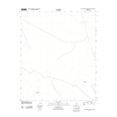 2011 Little Horn Mountains NE2011 Print · USGSLa Paz County, Arizona, is depicted here in the early twenty-first century as a landscape of desert peaks and wide washes. Researchers can trace the path of Palomas Harquahala Rd past Deadman Mountain and locate isolated water features like Talon Tank.
 - 2011 Map of Palomas Mountains NW, 2011 Print
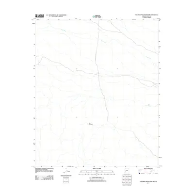 2011 Palomas Mountains NW2011 Print · USGSYuma County’s desert landscape is captured here in the early twenty-first century, showcasing a region defined by seasonal waterways and old overland routes. Local historians can trace the course of Hoodoo Wash and locate the historic White Tank along Norton to Harquahala Rd.
 - 2011 Map of Owl Head, 2011 Print
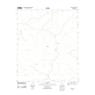 2011 Owl Head2011 Print · USGSLa Paz County's desert mining and mountain terrain are documented here during the early 2010s. Researchers can locate remote water sources and historical sites such as Old Alamo Mine Camp, Holly Seep, and the distinctive Owl Head landmark.
 - 2011 Map of Charlie Died Tank, 2011 Print
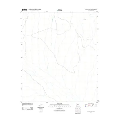 2011 Charlie Died Tank2011 Print · USGSYuma County's desert floor and mountain slopes are captured here in the early twenty-first century. Researchers can trace the path of Wellton Kofa Rd and locate remote water sources like Yaqui Wash and the uniquely named Charlie Died Tank.
 - 2011 Map of Palomas Mountains SW, 2011 Print
 2011 Palomas Mountains SW2011 Print · USGSYuma County during the early twenty-first century reveals a landscape defined by desert wilderness and natural drainages. Researchers can trace the rugged terrain of the Palomas Mountains and the southern slopes of the Tank Mountains across this remote arid environment.
 - 2011 Map of Eagletail Mountains East, 2011 Print
 2011 Eagletail Mountains East2011 Print · USGSMaricopa County's desert frontier is shown in the early twenty-first century, where the rising peaks of the range meet emerging infrastructure. Relatives and researchers can trace the reach of the El Paso Pipeline near landmarks like Courthouse Rock and Eagletail Arch.
 - 2011 Map of Hyder NE, 2011 Print
 2011 Hyder NE2011 Print · USGSMaricopa County in the early twenty-first century reveals a desert landscape shaped by seasonal watercourses and local landmarks. Trace the paths of Columbus Wash and Copper Wash as they wind past Picacho Hills and the level terrain of Sacaton Flats.
 - 2011 Map of Cementosa Wash, 2011 Print
 2011 Cementosa Wash2011 Print · USGSThis desert landscape in Yuma County shows the region in the early twenty-first century, dominated by military boundaries and rugged terrain. Local historians can trace the paths of Sheep Tank Mine Rd and identify remote water sources like Cementosa Tanks and Soldiers Tank.
 - 2011 Map of Palomas Mountains SE, 2011 Print
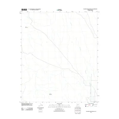 2011 Palomas Mountains SE2011 Print · USGSYuma County’s desert ranges and dry washes are captured here in the early twenty-first century as the landscape transitions into the Lower Gila Valley. Researchers can trace the drainage of Hoodoo Wash as it flows between the Tank Mountains and the Palomas Mountains.
 - 2011 Map of Hoodoo Well, 2011 Print
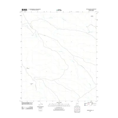 2011 Hoodoo Well2011 Print · USGSYuma County, Arizona, is shown here in the early twenty-first century, mapping the remote intersection of desert washes and mountain passes. Researchers can trace historic access routes like Kofa Manganese Rd and find isolated landmarks such as Hoodoo Well and Moonshine Gulch.
 - 2011 Map of Engesser Pass, 2011 Print
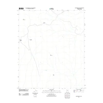 2011 Engesser Pass2011 Print · USGSYuma County’s arid interior is documented here in the early twenty-first century, highlighting the corridor between two desert ranges. Trace the remote routes through Engesser Pass and locate landmarks like Black Dome and Engesser Junction.
 - 2011 Map of Turtleback Mountain, 2011 Print
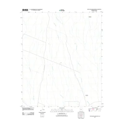 2011 Turtleback Mountain2011 Print · USGSYuma County’s desert landscape is captured here in the early twenty-first century, showcasing the arid hydrology of the Gila Bend foothills. Researchers can trace the sprawling paths of Nottbusch Wash and Deadman Wash near the distinctive Turtleback Mountain.
 - 2011 Map of Engesser Pass SW, 2011 Print
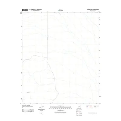 2011 Engesser Pass SW2011 Print · USGSYuma County’s desert landscape is captured here in the early twenty-first century, showing the intersection of natural landforms and sparse transit routes. Researchers can trace the path of Wellton Kofa Rd past the Castle Dome Mountains and identify water sites like Burnt Wagon Tank.
 - 2011 Map of Little Horn Mountains SE, 2011 Print
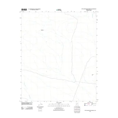 2011 Little Horn Mountains SE2011 Print · USGSYuma County’s desert interior is captured in this early 2010s survey, showing a landscape defined by seasonal drainages and sharp peaks. Trace the primitive routes between the Little Horn Mountains, the Clanton Hills, and Deadman Tank.
 - 2011 Map of Kofa Butte, 2011 Print
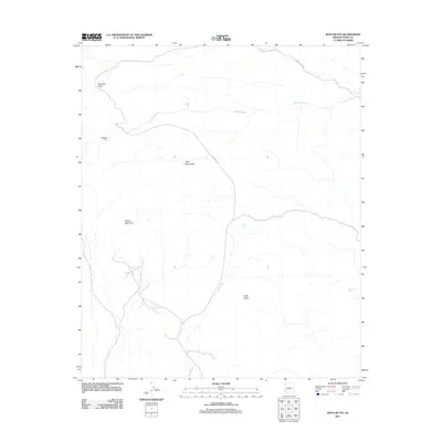 2011 Kofa Butte2011 Print · USGSThe Arizona desert of Yuma County is mapped here in the early twenty-first century, showcasing a landscape of high peaks and vital water catchments. Modern researchers can trace backcountry routes like Wilbanks Rd and locate landmarks such as Wilbanks Cabin or Big Horn Pass.
 - 2011 Map of Nottbusch Butte, 2011 Print
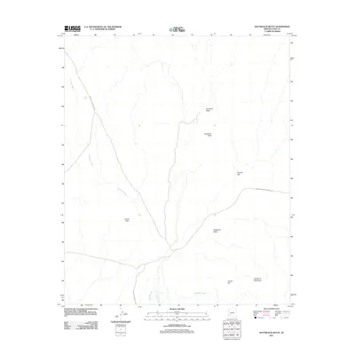 2011 Nottbusch Butte2011 Print · USGSYuma County in the early twenty-first century reveals a desert landscape shaped by ancient topography and remote access roads. Trace the arid routes between Cemetery Ridge, the Nottbusch Valley, and landmarks like Clanton Hill.
 - 2011 Map of Eagletail Mountains West, 2011 Print
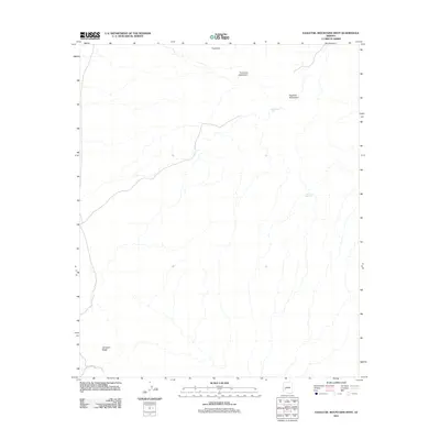 2011 Eagletail Mountains West2011 Print · USGSLa Paz County’s desert interior is documented here during the early twenty-first century, showing a landscape shaped by water scarcity and high peaks. Researchers can locate natural and man-made water points like Indian Spring and Dead Deer Tank near the Eagletail Mountains.
 - 2011 Map of Neversweat Ridge, 2011 Print
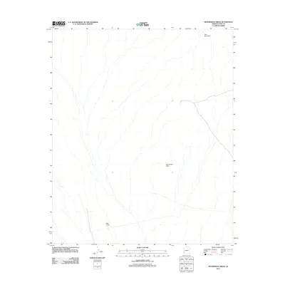 2011 Neversweat Ridge2011 Print · USGSYuma County's desert interior is captured in the early twenty-first century, showcasing a landscape of broad valleys and prominent ridges. Researchers can trace the network of desert washes and 4WD tracks across King Valley, Neversweat Ridge, and the Tank Mountains.
 - 2011 Map of Palomas Mountains NE, 2011 Print
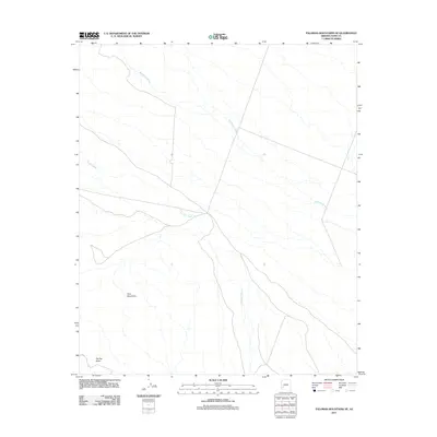 2011 Palomas Mountains NE2011 Print · USGSArizona's desert landscape in Yuma County is mapped here during the early twenty-first century, showing a remote area defined by seasonal watercourses. Researchers and explorers can trace the paths of Red Raven Wash and Hoodoo Wash as they wind past landmarks like Flat Top Butte and the Tank Mountains.
 - 2011 Map of Coyote Peak, 2011 Print
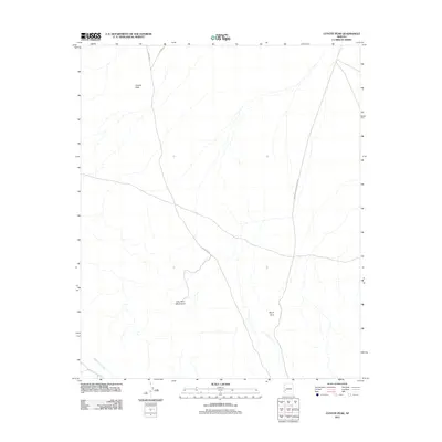 2011 Coyote Peak2011 Print · USGSLa Paz County's desert reaches are captured here in the early twenty-first century, showing the intersection of lonely transit routes and mountain terrain. Trace the paths of Hovatter Rd and Vicksburg Rd past Coyote Peak and the Little Horn Mountains.
 - 2011 Map of Baragan Mountain, 2011 Print
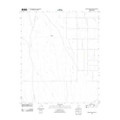 2011 Baragan Mountain2011 Print · USGSYuma County’s desert landscape is captured here in the early twenty-first century, showing the intersection of natural washes and a developing rural grid. Researchers can trace the paths of Red Raven Wash and Deadman Wash as they wind past Baragan Mountain.
 - 2011 Map of Hyder, 2011 Print
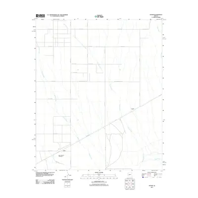 2011 Hyder2011 Print · USGSIn the early twenty-first century, the desert landscape around Hyder remains defined by its historic transit routes and seasonal drainages. Genealogists and historians can trace the paths of Butterfield Rd and Camel against the backdrop of the Agua Caliente Mountains.
 - 2011 Map of Mohawk SE, 2011 Print
 2011 Mohawk SE2011 Print · USGSCovers Yuma County, including United States, Arizona, and other nearby areas
 - 2011 Map of Buck Peak, 2011 Print
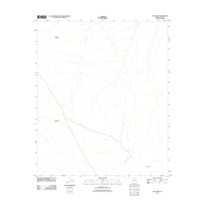 2011 Buck Peak2011 Print · USGSYuma County's arid borderlands are captured here in the early twenty-first century, showcasing the stark terrain of the Lechuguilla Desert. Researchers can trace the elevation shifts of the Copper Mountains and locate vital water points like Buck Peak Tank.
 - 2011 Map of Bryan Mountains, 2011 Print
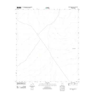 2011 Bryan Mountains2011 Print · USGSArizona's desert borderlands are recorded here in the early twenty-first century, showing the drainage networks of the western desert. Geographic researchers and desert explorers can trace the complex topographic relief and intermittent washes surrounding the Bryan Mountains.
Showing maps 1-25 of 354
Top cities of Yuma County
- Yuma historical maps
- Fortuna Foothills historical maps
- San Luis historical maps
- Somerton historical maps
- Avenue B & C historical maps
- Wellton historical maps
See more
Frequently asked questions
- What are the different types of historical maps available for Yuma County?
- What is the oldest map of Yuma County?
- Where can I purchase historical maps of Yuma County for my home or office?
- Where can I download high-res historical maps of Yuma County?
- Are there historical topographic maps available for Yuma County?
- Is there historical aerial imagery available for Yuma County?
- Where are historical maps of Yuma County sourced from?