2000s (21st Century) Maps of Yuma County, Arizona
Explore 479 historic maps of Yuma County from the 2000s (21st Century). These maps offer a rare glimpse into what life looked like during the 2000s — showing old roads, neighborhoods, homes, and landmarks that have changed or disappeared over time.
Whether you're researching your family's past, planning a metal detecting trip, or studying how Yuma County's landscape evolved across the 2000s, these high-resolution maps are a powerful tool for exploring the history of this region.
- Focus on a specific era: All maps on this page are from the 2000s, giving you a focused view of this time period.
- See what’s changed: Compare century-old streets, trails, and buildings to today's modern landscape using overlays and satellite layers.
- Research with precision: Use these maps for genealogy, historical research, land use analysis, or educational projects.
- View, download, or print: Maps are fully viewable online in high resolution, and can be downloaded or printed for your own records.
Start exploring Yuma County's history through authentic maps from the 2000s. This is your window into the past.
Yuma County, AZ maps
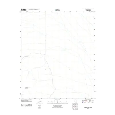
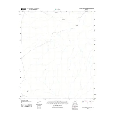
(479)- 2011 Map of Little Horn Mountains NE, 2011 Print
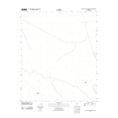 2011 Little Horn Mountains NE2011 Print · USGSCovers Yuma County, including La Paz County, United States, and other nearby areas
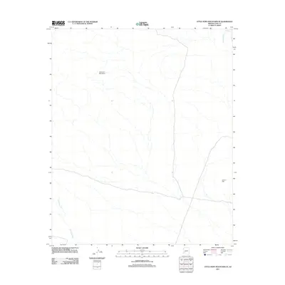
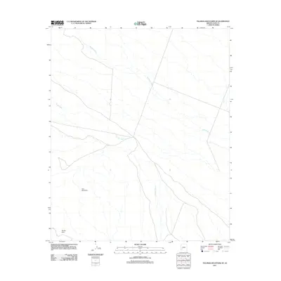
 - 2011 Map of Palomas Mountains NW, 2011 Print
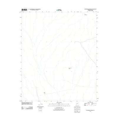
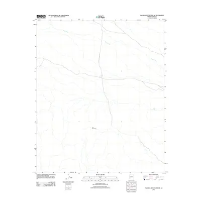 2011 Palomas Mountains NW2011 Print · USGSCovers Yuma County, including United States, Arizona, and other nearby areas
 - 2011 Map of Owl Head, 2011 Print
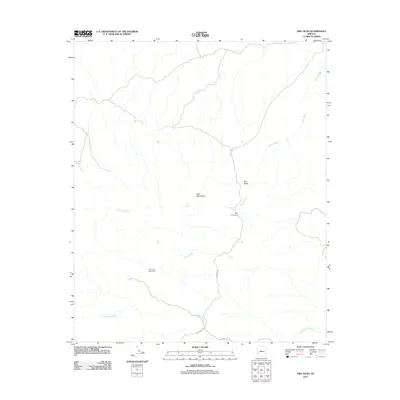 2011 Owl Head2011 Print · USGSCovers Yuma County, including La Paz County, United States, and other nearby areas
 - 2011 Map of Charlie Died Tank, 2011 Print
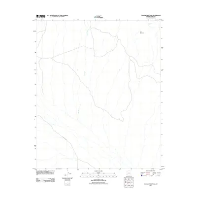 2011 Charlie Died Tank2011 Print · USGSCovers Yuma County, including United States, Arizona, and other nearby areas
 - 2011 Map of Palomas Mountains SW, 2011 Print
 2011 Palomas Mountains SW2011 Print · USGSCovers Yuma County, including United States, Arizona, and other nearby areas
 - 2011 Map of Eagletail Mountains East, 2011 Print
 2011 Eagletail Mountains East2011 Print · USGSCovers Yuma County, including Maricopa County, La Paz County, and other nearby areas
 - 2011 Map of Hyder NE, 2011 Print
 2011 Hyder NE2011 Print · USGSCovers Yuma County, including Maricopa County, United States, and other nearby areas
 - 2011 Map of Cementosa Wash, 2011 Print
 2011 Cementosa Wash2011 Print · USGSCovers Yuma County, including United States, Arizona, and other nearby areas
 - 2011 Map of Palomas Mountains SE, 2011 Print
 2011 Palomas Mountains SE2011 Print · USGSCovers Yuma County, including United States, Arizona, and other nearby areas
 - 2011 Map of Hoodoo Well, 2011 Print
 2011 Hoodoo Well2011 Print · USGSCovers Yuma County, including United States, Arizona, and other nearby areas
 - 2011 Map of Engesser Pass, 2011 Print
 2011 Engesser Pass2011 Print · USGSCovers Yuma County, including Engesser Junction, United States, and other nearby areas
 - 2011 Map of Turtleback Mountain, 2011 Print
 2011 Turtleback Mountain2011 Print · USGSCovers Yuma County, including United States, Arizona, and other nearby areas
 - 2011 Map of Engesser Pass SW, 2011 Print
 2011 Engesser Pass SW2011 Print · USGSCovers Yuma County, including United States, Arizona, and other nearby areas
 - 2011 Map of Little Horn Mountains SE, 2011 Print
 2011 Little Horn Mountains SE2011 Print · USGSCovers Yuma County, including United States, Arizona, and other nearby areas
 - 2011 Map of Kofa Butte, 2011 Print
 2011 Kofa Butte2011 Print · USGSCovers Yuma County, including United States, Arizona, and other nearby areas
 - 2011 Map of Nottbusch Butte, 2011 Print
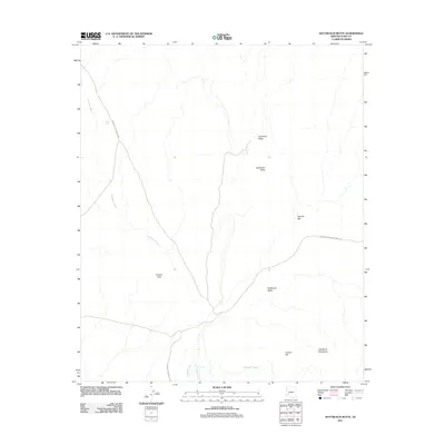 2011 Nottbusch Butte2011 Print · USGSCovers Yuma County, including United States, Arizona, and other nearby areas
 - 2011 Map of Eagletail Mountains West, 2011 Print
 2011 Eagletail Mountains West2011 Print · USGSCovers Yuma County, including La Paz County, United States, and other nearby areas
 - 2011 Map of Neversweat Ridge, 2011 Print
 2011 Neversweat Ridge2011 Print · USGSCovers Yuma County, including United States, Arizona, and other nearby areas
 - 2011 Map of Palomas Mountains NE, 2011 Print
 2011 Palomas Mountains NE2011 Print · USGSCovers Yuma County, including United States, Arizona, and other nearby areas
 - 2011 Map of Coyote Peak, 2011 Print
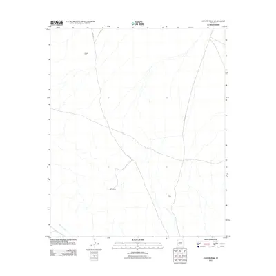 2011 Coyote Peak2011 Print · USGSCovers Yuma County, including La Paz County, United States, and other nearby areas
 - 2011 Map of Baragan Mountain, 2011 Print
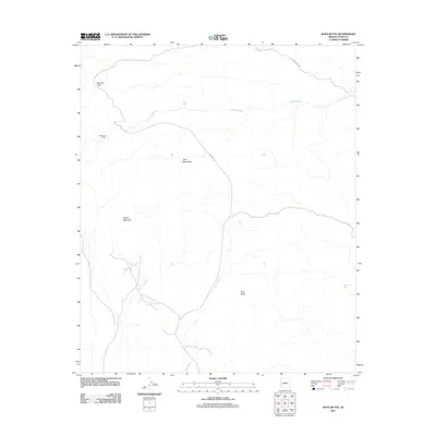
 2011 Baragan Mountain2011 Print · USGSCovers Yuma County, including United States, Arizona, and other nearby areas
 - 2011 Map of Hyder, 2011 Print
 2011 Hyder2011 Print · USGSCovers Yuma County, including Hyder, Camel, and other nearby areas
 - 2011 Map of Mohawk SE, 2011 Print
 2011 Mohawk SE2011 Print · USGSCovers Yuma County, including United States, Arizona, and other nearby areas
 - 2011 Map of Buck Peak, 2011 Print
 2011 Buck Peak2011 Print · USGSCovers Yuma County, including United States, Arizona, and other nearby areas
 - 2011 Map of Bryan Mountains, 2011 Print
 2011 Bryan Mountains2011 Print · USGSCovers Yuma County, including United States, Arizona, and other nearby areas
Showing maps 1-25 of 479
Top cities of Yuma County
- Yuma historical maps
- Fortuna Foothills historical maps
- San Luis historical maps
- Somerton historical maps
- Avenue B & C historical maps
- Wellton historical maps
See more
Frequently asked questions
- What are the different types of historical maps available for Yuma County?
- What is the oldest map of Yuma County?
- Where can I purchase historical maps of Yuma County for my home or office?
- Where can I download high-res historical maps of Yuma County?
- Are there historical topographic maps available for Yuma County?
- Is there historical aerial imagery available for Yuma County?
- Where are historical maps of Yuma County sourced from?