2020s Maps of Dallas County, Arkansas
Explore 44 historic maps of Dallas County from the 2020s. These maps offer a rare glimpse into what life looked like during the 2020s — showing old roads, neighborhoods, homes, and landmarks that have changed or disappeared over time.
Whether you're researching your family's past, planning a metal detecting trip, or studying how Dallas County's landscape evolved across the 2020s, these high-resolution maps are a powerful tool for exploring the history of this region.
- Focus on a specific era: All maps on this page are from the 2020s, giving you a focused view of this time period.
- See what’s changed: Compare century-old streets, trails, and buildings to today's modern landscape using overlays and satellite layers.
- Research with precision: Use these maps for genealogy, historical research, land use analysis, or educational projects.
- View, download, or print: Maps are fully viewable online in high resolution, and can be downloaded or printed for your own records.
Start exploring Dallas County's history through authentic maps from the 2020s. This is your window into the past.
Dallas County, AR maps
(44)- 2020 Map of Leola, 2020 Print
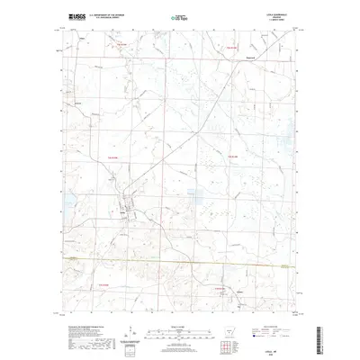 2020 Leola2020 Print · USGSThe Grant County timberlands and the Saline River bottomlands are meticulously detailed in this recent study of the area. Genealogists and local historians can locate smaller settlements like Dogwood and Thiel or trace family sites at Taylor Cem and Crowder Cem.
 - 2020 Map of Millerville, 2020 Print
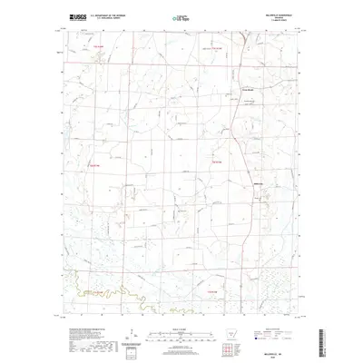 2020 Millerville2020 Print · USGSGrant County is captured in this modern survey during a period of transition, showing the rural crossroads and timberlands of south-central Arkansas. Genealogists can locate family landmarks like Shiloh Cemetery or trace the settlement of Millerville near the Saline River.
 - 2020 Map of Manning, 2020 Print
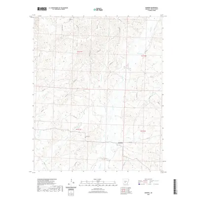 2020 Manning2020 Print · USGSManning and the rural timberlands of Dallas County are documented here in the early twenty-first century. Genealogists can locate family landmarks like Caldwell Chapel Cem and DeLamar Cem among the many forks of Cypress Cr.
 - 2020 Map of Round Hill, 2020 Print
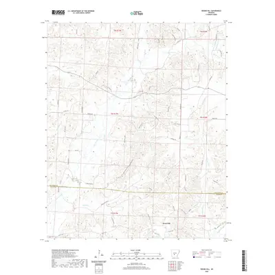 2020 Round Hill2020 Print · USGSThe Dallas County timberlands and the Round Hill area are documented here during the early twenty-first century. Genealogists and local historians can trace family land and rural routes like Sardis-Gem, Leau Fraiz Rd, and Camp Cr.
 - 2020 Map of Bunn, 2020 Print
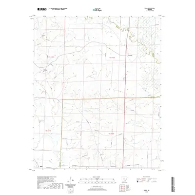 2020 Bunn2020 Print · USGSDallas County in the 2020s remains a landscape of dense creek bottoms and quiet settlements like Bunn and Farindale. Local researchers can locate family burial grounds including Hardcastle Cem and Harrison Cem among the wetlands of the Saline River.
 - 2020 Map of Tulip, 2020 Print
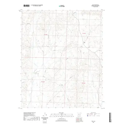 2020 Tulip2020 Print · USGSDallas County's rural interior is documented here during the late 2010s, showing the enduring settlement patterns of this timber and creek country. Genealogists and local historians can locate the Tulip Cem and trace old routes through Tulip and Wave.
 - 2020 Map of Carthage, 2020 Print
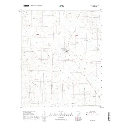 2020 Carthage2020 Print · USGSCarthage and its surrounding Dallas County timberlands are mapped here in the early twenty-first century. Researchers can trace rural family-named landmarks and old timber routes such as Eagle Tram Rd, Stark Bland Rd, and the Bethel Cem.
 - 2020 Map of Princeton East, 2020 Print
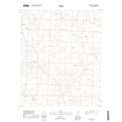 2020 Princeton East2020 Print · USGSCentral Dallas County in the early twenty-first century reveals a landscape of quiet settlements and rural cemeteries. Genealogists can trace family footprints at Princeton and Eagletie, or locate burial sites at Benton Cem and Smith Cem.
 - 2020 Map of Willow, 2020 Print
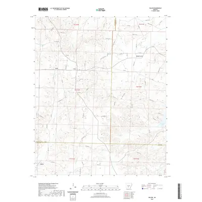 2020 Willow2020 Print · USGSThis central Arkansas borderland at the meeting of three counties shows a rural landscape shaped by timber and tradition. Genealogists and local historians can locate several community landmarks including Lono Cem, the village of Rolla, and the historic Mail Route Rd.
 - 2020 Map of Sparkman NW, 2020 Print
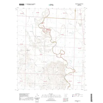 2020 Sparkman NW2020 Print · USGSThe Ouachita River valley on the Clark and Dallas County line shows a landscape defined by meandering waterways and rural settlements. Trace local history through family-named routes and landmarks like Nixs Ferry Rd, Shakertown, and the Centerpoint Cem.
 - 2020 Map of Ouachita, 2020 Print
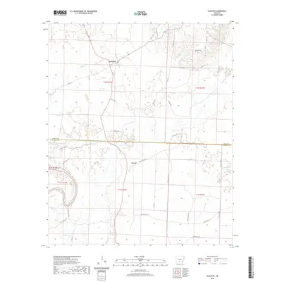 2020 Ouachita2020 Print · USGSThe rural border of Dallas and Ouachita counties comes into focus in this recent study of the Ouachita River basin. Researchers can trace the layout of small settlements like Ouachita and Smead or find the remote Brazeale Cem and Georgia Lake.
 - 2020 Map of Ivan, 2020 Print
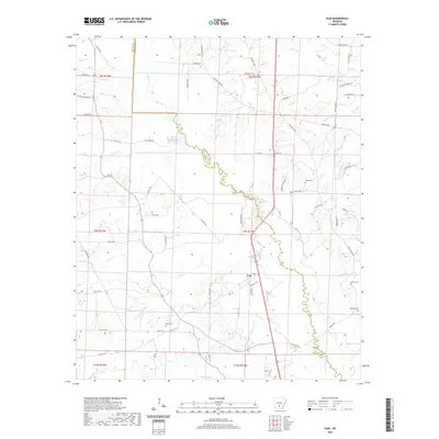 2020 Ivan2020 Print · USGSThe rural community of Ivan is documented here as it appeared in recent years along the winding Dallas and Cleveland county line. Genealogists can trace several local burial sites such as Garner Cem and Tolson Cem, or explore the many creek-side roads like Whiskey Still Rd.
 - 2020 Map of Hopeville, 2020 Print
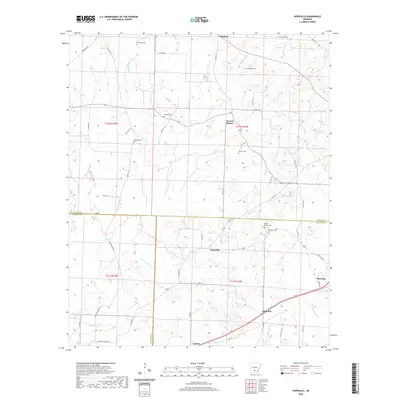 2020 Hopeville2020 Print · USGSSouth-central Arkansas at the Dallas and Calhoun county line is shown here in the contemporary era. Researchers can locate numerous small burial grounds and rural hubs, including Hopeville, Thornton, and family sites like Stevenson Cem or Clemons Cem.
 - 2020 Map of Fordyce, 2020 Print
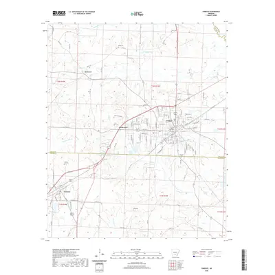 2020 Fordyce2020 Print · USGSFordyce and its South Arkansas surroundings are documented here in the early twenty-first century, centered on the Dallas County seat. Genealogists can locate family landmarks like Oakland Cem, Stroud Cem, and the rural community of Bucksnort.
 - 2020 Map of Holly Springs, 2020 Print
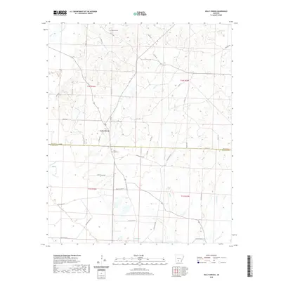 2020 Holly Springs2020 Print · USGSHolly Springs sits at the junction of Dallas and Ouachita counties in this modern survey of south-central Arkansas. Genealogists and local historians can locate Holly Springs Cemetery, Oak Grove Cemetery, and natural landmarks like Scale Springs.
 - 2020 Map of Tates Bluff, 2020 Print
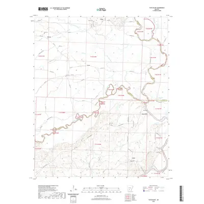 2020 Tates Bluff2020 Print · USGSThe river junction at Tates Bluff and its surrounding rural communities are captured here in the early twenty-first century. Genealogists can trace family roots through numerous burial sites like Vaden Cem and McGill Cem or the settlements of Kansas and Lunet.
 - 2020 Map of Staves, 2020 Print
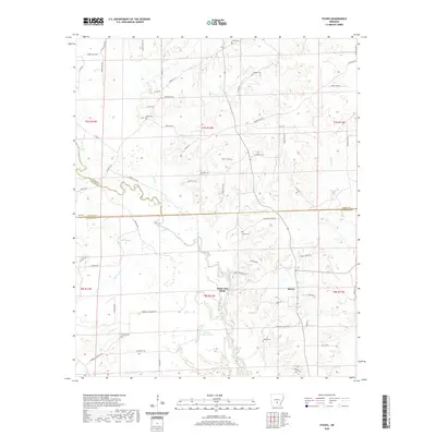 2020 Staves2020 Print · USGSThe intersection of Grant, Dallas, and Cleveland counties comes alive in this recent survey of the Arkansas timberlands. Genealogists and local historians can trace family locations through numerous rural burial sites like Davis Cem, Wilson Cem, and Black Cem.
 - 2020 Map of Donaldson, 2020 Print
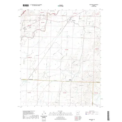 2020 Donaldson2020 Print · USGSThe Ouachita River valley in south-central Arkansas is captured here in recent years, showing the rural settlements of Donaldson and Friendship. Researchers can locate several community burial sites like Mount Pleasant Cem and landmarks such as Dutherage Spring.
 - 2020 Map of Princeton West, 2020 Print
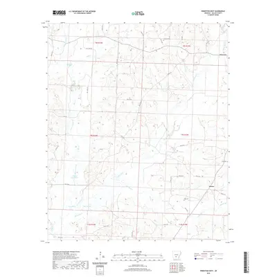 2020 Princeton West2020 Print · USGSThe rural landscapes of Dallas County are seen here in the 2010s, centered on the historic crossroads near Princeton. Family historians can locate specific burial sites like Henderson Cem and Taylor Cem nestled among sloughs and creek forks.
 - 2020 Map of Dalark, 2020 Print
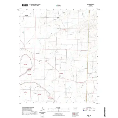 2020 Dalark2020 Print · USGSThe timberlands along the Clark and Dallas county line come into focus in this study of the rural Ouachita River valley. Genealogists can trace family roots through numerous burial sites like Macedonia Cem and Strong Cem or locate the historic centers of Dalark and Griffithtown.
 - 2020 Map of Sparkman, 2020 Print
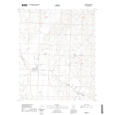 2020 Sparkman2020 Print · USGSSparkman and the surrounding Dallas County woodlands are documented here during a period of modern stability. Researchers can trace numerous family burial sites such as Erby Cem and Old New Hope Cem or locate the rural crossroads of Pine Grove.
 - 2020 Map of Kingsland, 2020 Print
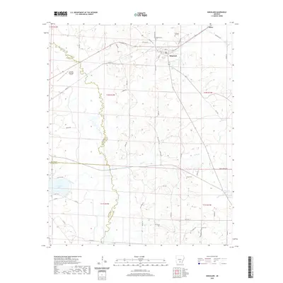 2020 Kingsland2020 Print · USGSKingsland and its surrounding timberlands are captured here in the early twenty-first century as rural life centers on the junction of State Highway 189 and the Saline River watershed. Researchers can locate family landmarks like the Kingsland Cem or Crain Cem and trace the winding course of Moro Creek.
 - 2024 Map of Tates Bluff, 2024 Print
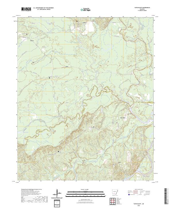 2024 Tates Bluff2024 Print · USGSThe confluence of the Ouachita and Little Missouri rivers defines this southern Arkansas landscape. Genealogists can trace family roots through rural communities like Vaden and Lunet, or locate family burial sites at Easley Cem and Hill Cem.
 - 2024 Map of Holly Springs, 2024 Print
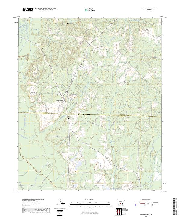 2024 Holly Springs2024 Print · USGSHolly Springs and the rural borders of Dallas and Ouachita counties are shown here in the contemporary era. Genealogists and local historians can locate Holly Springs Cem, Oak Grove Cem, and waterways like Chapel Creek and Freeo Creek.
 - 2024 Map of Sparkman, 2024 Print
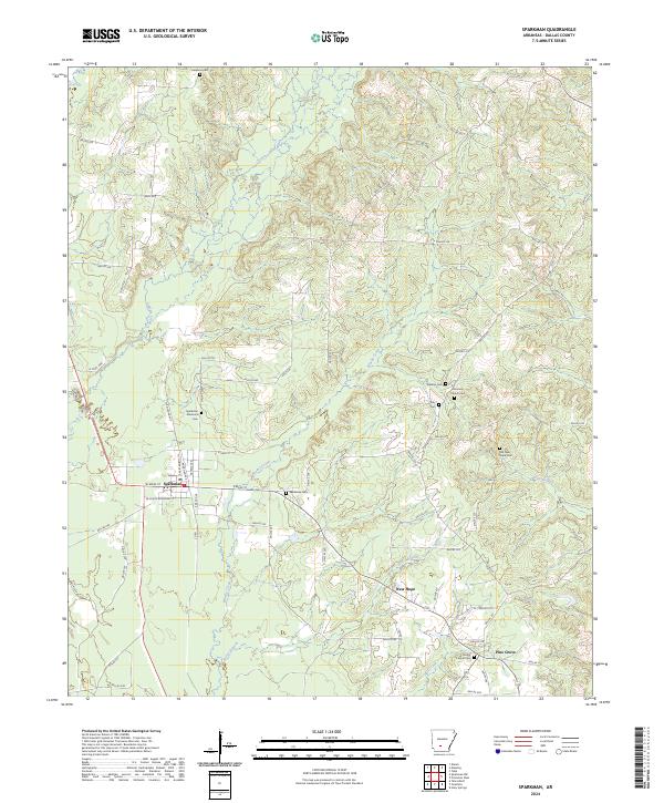 2024 Sparkman2024 Print · USGSDallas County, Arkansas, is captured here in the early twenty-first century as a landscape of timbered creek bottoms and rural crossroads. Genealogists can trace family burial sites across the quadrangle, including Sparkman Memorial Cem, Old New Hope Cem, and Williams Cem.
Showing maps 1-25 of 44
Top cities of Dallas County
Frequently asked questions
- What are the different types of historical maps available for Dallas County?
- What is the oldest map of Dallas County?
- Where can I purchase historical maps of Dallas County for my home or office?
- Where can I download high-res historical maps of Dallas County?
- Are there historical topographic maps available for Dallas County?
- Is there historical aerial imagery available for Dallas County?
- Where are historical maps of Dallas County sourced from?