2000s (21st Century) Maps of Dallas County, Arkansas
Explore 110 historic maps of Dallas County from the 2000s (21st Century). These maps offer a rare glimpse into what life looked like during the 2000s — showing old roads, neighborhoods, homes, and landmarks that have changed or disappeared over time.
Whether you're researching your family's past, planning a metal detecting trip, or studying how Dallas County's landscape evolved across the 2000s, these high-resolution maps are a powerful tool for exploring the history of this region.
- Focus on a specific era: All maps on this page are from the 2000s, giving you a focused view of this time period.
- See what’s changed: Compare century-old streets, trails, and buildings to today's modern landscape using overlays and satellite layers.
- Research with precision: Use these maps for genealogy, historical research, land use analysis, or educational projects.
- View, download, or print: Maps are fully viewable online in high resolution, and can be downloaded or printed for your own records.
Start exploring Dallas County's history through authentic maps from the 2000s. This is your window into the past.
Dallas County, AR maps
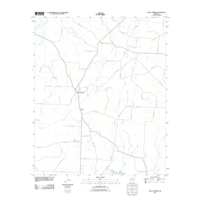
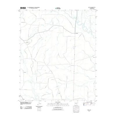
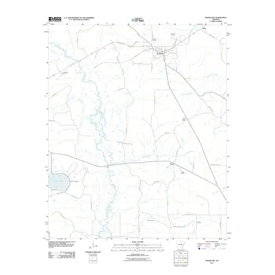
(110)- 2011 Map of Sparkman, 2011 Print
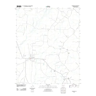 2011 Sparkman2011 Print · USGSCovers Dallas County, including Sparkman, Pine Grove, and other nearby areas
 - 2011 Map of Ouachita, 2011 Print
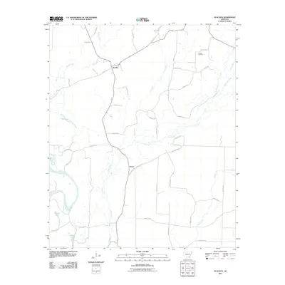 2011 Ouachita2011 Print · USGSCovers Dallas County, including Ouachita, Smead, and other nearby areas
 - 2011 Map of Sparkman NW, 2011 Print
 2011 Sparkman NW2011 Print · USGSCovers Dallas County, including Fairview, Shakertown, and other nearby areas
 - 2011 Map of Princeton East, 2011 Print
 2011 Princeton East2011 Print · USGSCovers Dallas County, including Princeton, Eagletie, and other nearby areas
 - 2011 Map of Holly Springs, 2011 Print
 2011 Holly Springs2011 Print · USGSCovers Dallas County, including Holly Springs, Ouachita County, and other nearby areas
 - 2011 Map of Hopeville, 2011 Print
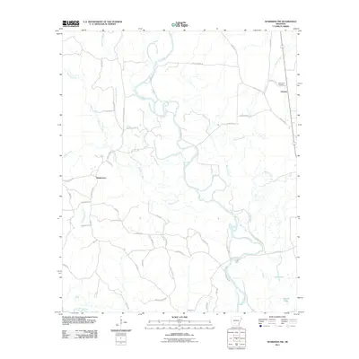
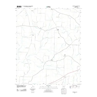 2011 Hopeville2011 Print · USGSCovers Dallas County, including Thornton, Little Bay, and other nearby areas
 - 2011 Map of Fordyce, 2011 Print
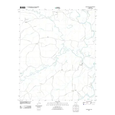
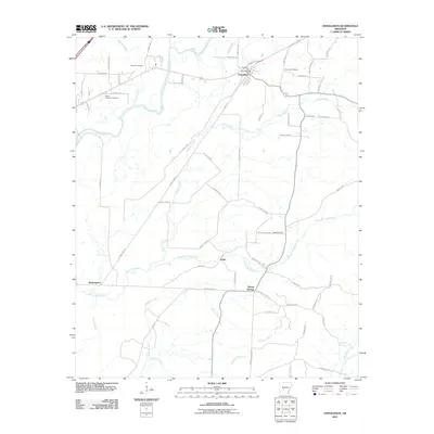
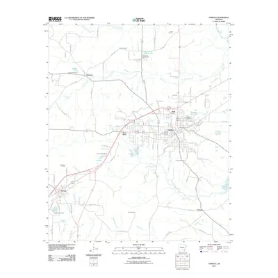 2011 Fordyce2011 Print · USGSCovers Dallas County, including Fordyce, Thornton, and other nearby areas
 - 2011 Map of Ivan, 2011 Print
 2011 Ivan2011 Print · USGSCovers Dallas County, including Oak Grove, Ivan, and other nearby areas
 - 2011 Map of Tates Bluff, 2011 Print
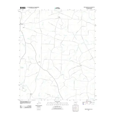
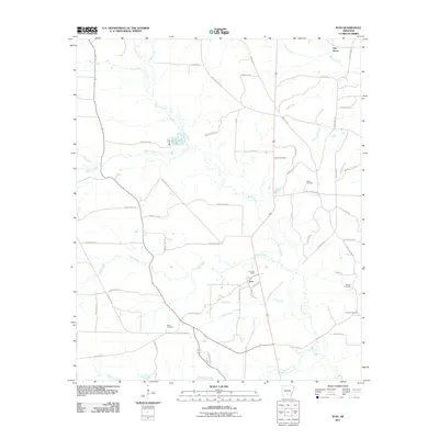
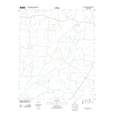
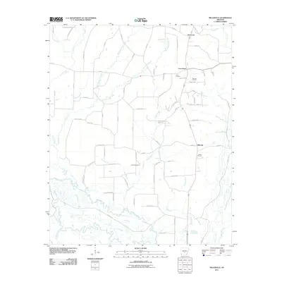
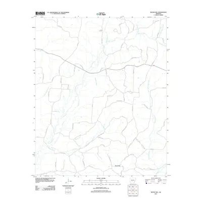
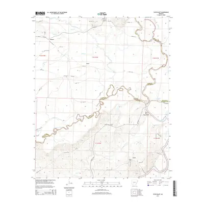
 2011 Tates Bluff2011 Print · USGSCovers Dallas County, including Tates Bluff, Kansas, and other nearby areas
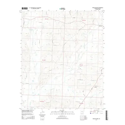
 - 2011 Map of Princeton West, 2011 Print
 2011 Princeton West2011 Print · USGSCovers Dallas County, including Jacinto, United States, and other nearby areas
 - 2011 Map of Dalark, 2011 Print
 2011 Dalark2011 Print · USGSCovers Dallas County, including Gravel Junction, Dalark, and other nearby areas
 - 2011 Map of Manning, 2011 Print
 2011 Manning2011 Print · USGSCovers Dallas County, including Manning, United States, and other nearby areas
 - 2011 Map of Donaldson, 2011 Print
 2011 Donaldson2011 Print · USGSCovers Dallas County, including Midway, Donaldson, and other nearby areas
 - 2011 Map of Bunn, 2011 Print
 2011 Bunn2011 Print · USGSCovers Dallas County, including Bunn, Farindale, and other nearby areas
 - 2011 Map of Carthage, 2011 Print
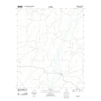
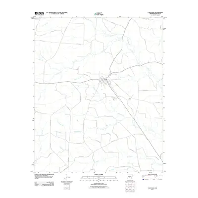 2011 Carthage2011 Print · USGSCovers Dallas County, including Carthage, United States, and other nearby areas
 - 2011 Map of Staves, 2011 Print
 2011 Staves2011 Print · USGSCovers Dallas County, including Staves, White Oak Bluff, and other nearby areas
 - 2011 Map of Millerville, 2011 Print
 2011 Millerville2011 Print · USGSCovers Dallas County, including Millerville, Deer Creek, and other nearby areas
 - 2011 Map of Tulip, 2011 Print
 2011 Tulip2011 Print · USGSCovers Dallas County, including Wave, Tulip, and other nearby areas
 - 2011 Map of Leola, 2011 Print
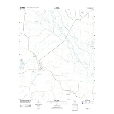 2011 Leola2011 Print · USGSCovers Dallas County, including Leola, Ivy, and other nearby areas
 - 2011 Map of Willow, 2011 Print
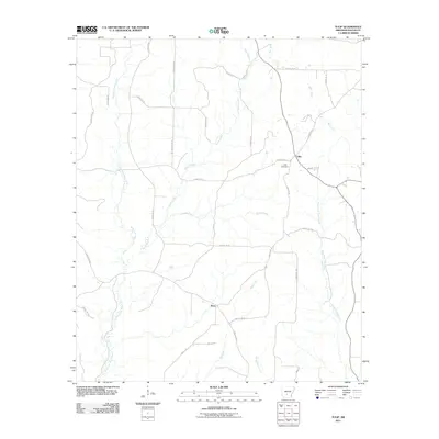
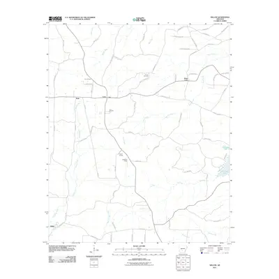 2011 Willow2011 Print · USGSCovers Dallas County, including Rolla, Willow, and other nearby areas
 - 2011 Map of Kingsland, 2011 Print
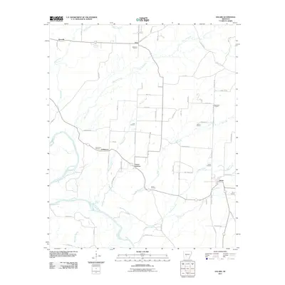
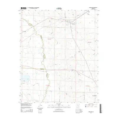
 2011 Kingsland2011 Print · USGSCovers Dallas County, including Kingsland, Saline, and other nearby areas
 - 2011 Map of Round Hill, 2011 Print
 2011 Round Hill2011 Print · USGSCovers Dallas County, including Round Hill, Hot Spring County, and other nearby areas
 - 2014 Map of Kingsland, 2014 Print
 2014 Kingsland2014 Print · USGSCovers Dallas County, including Kingsland, Saline, and other nearby areas
 - 2014 Map of Princeton West, 2014 Print
 2014 Princeton West2014 Print · USGSCovers Dallas County, including Jacinto, United States, and other nearby areas
 - 2014 Map of Tates Bluff, 2014 Print
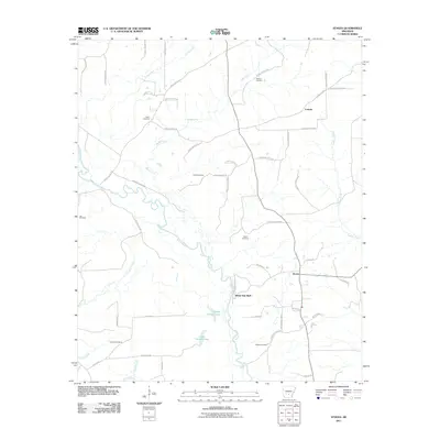
 2014 Tates Bluff2014 Print · USGSCovers Dallas County, including Tates Bluff, Kansas, and other nearby areas
Showing maps 1-25 of 110
Top cities of Dallas County
Frequently asked questions
- What are the different types of historical maps available for Dallas County?
- What is the oldest map of Dallas County?
- Where can I purchase historical maps of Dallas County for my home or office?
- Where can I download high-res historical maps of Dallas County?
- Are there historical topographic maps available for Dallas County?
- Is there historical aerial imagery available for Dallas County?
- Where are historical maps of Dallas County sourced from?