2010s Maps of Dallas County, Arkansas
Explore 66 historic maps of Dallas County from the 2010s. These maps offer a rare glimpse into what life looked like during the 2010s — showing old roads, neighborhoods, homes, and landmarks that have changed or disappeared over time.
Whether you're researching your family's past, planning a metal detecting trip, or studying how Dallas County's landscape evolved across the 2010s, these high-resolution maps are a powerful tool for exploring the history of this region.
- Focus on a specific era: All maps on this page are from the 2010s, giving you a focused view of this time period.
- See what’s changed: Compare century-old streets, trails, and buildings to today's modern landscape using overlays and satellite layers.
- Research with precision: Use these maps for genealogy, historical research, land use analysis, or educational projects.
- View, download, or print: Maps are fully viewable online in high resolution, and can be downloaded or printed for your own records.
Start exploring Dallas County's history through authentic maps from the 2010s. This is your window into the past.
Dallas County, AR maps
(66)- 2011 Map of Sparkman, 2011 Print
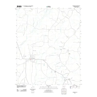 2011 Sparkman2011 Print · USGSThe town of Sparkman and its outlying rural settlements appear here during the early 21st century as a landscape of creeks and country cemeteries. Genealogists and local historians can trace family roots through numerous sites like Old New Hope Cemetery, Williams Cemetery, and the Key Hill Lookout Tower.
 - 2011 Map of Ouachita, 2011 Print
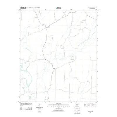 2011 Ouachita2011 Print · USGSThe Ouachita River bottoms and Dallas County timberlands are captured here in the early twenty-first century. Genealogists and local historians can locate Brazeale Cemetery and trace the rural layouts of Ouachita and Smead near Tulip Creek.
 - 2011 Map of Sparkman NW, 2011 Print
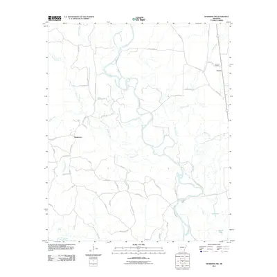 2011 Sparkman NW2011 Print · USGSDallas County bottomlands along the Ouachita River are documented here in the early twenty-first century. Researchers can trace the geography of local settlements like Shakertown and Fairview or locate the site of Nix Ferry and Centerpoint Cemetery.
 - 2011 Map of Princeton East, 2011 Print
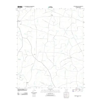 2011 Princeton East2011 Print · USGSDallas County in the early twenty-first century is revealed here as a landscape of rural crossroads and family homesteads. Genealogists can locate several burial grounds including Vetter-Kauffman Cemetery, Tanyard Cemetery, and Benton Cemetery along the banks of Barlow Creek.
 - 2011 Map of Holly Springs, 2011 Print
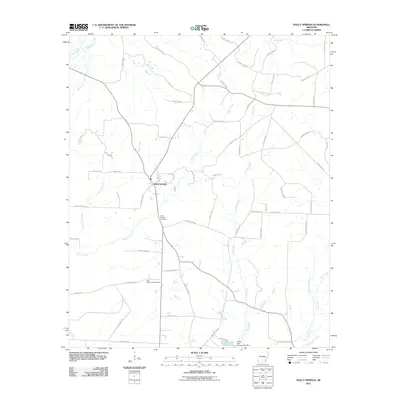 2011 Holly Springs2011 Print · USGSHolly Springs and the surrounding Dallas County timberlands are captured here in the early 21st century. Genealogists and local historians can trace family roots at the Holly Springs Cemetery or locate landmarks like the Holly Spring Lookout Tower and Garner Lake.
 - 2011 Map of Hopeville, 2011 Print
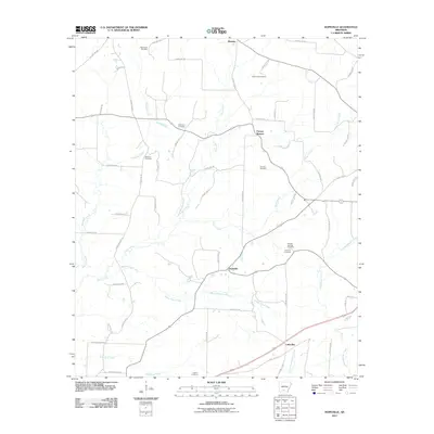 2011 Hopeville2011 Print · USGSSouthern Arkansas timber and creek lands are captured here in the early twenty-first century, centered on the community of Hopeville. Researchers can locate several family burial grounds including Wheelers Cemetery, McDonald Cemetery, and Harlow Cemetery.
 - 2011 Map of Fordyce, 2011 Print
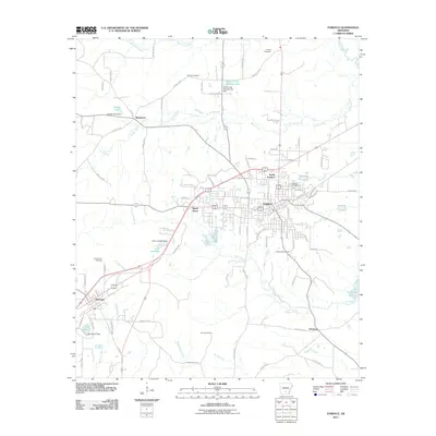 2011 Fordyce2011 Print · USGSThe community of Fordyce and its Dallas County surroundings are shown here in the early twenty-first century. Researchers can trace the layout of several historical settlements including Thornton, Bucksnort, and Ebenezer, alongside local landmarks like Oakland Cemetery.
 - 2011 Map of Ivan, 2011 Print
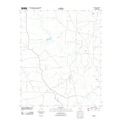 2011 Ivan2011 Print · USGSThe community of Ivan is documented here in the early 2010s, showing a rural landscape defined by the winding Moro Creek and its many tributaries. Genealogists and researchers can locate family burial grounds like Dixon Cemetery and landmark roads such as Whiskey Still Rd.
 - 2011 Map of Tates Bluff, 2011 Print
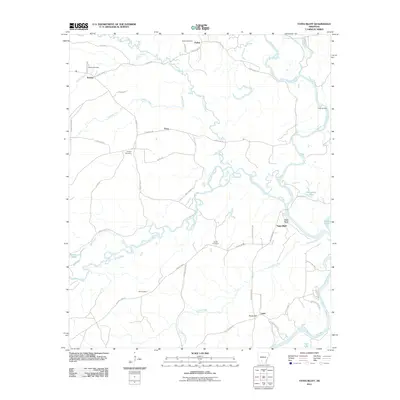 2011 Tates Bluff2011 Print · USGSThe Ouachita and Little Missouri rivers converge at Tates Bluff in this early twenty-first-century survey of the Arkansas riverlands. Genealogists can trace several family-named landmarks and resting places, including McGill Cemetery, Easley Cemetery, and the settlement of Vaden.
 - 2011 Map of Princeton West, 2011 Print
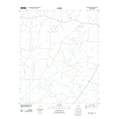 2011 Princeton West2011 Print · USGSDallas County, Arkansas, is captured here in the early twenty-first century, showing a landscape defined by its creek valleys and rural crossroads. Genealogists can locate Henderson Cemetery and Taylor Cemetery or trace the winding course of White Oak Creek.
 - 2011 Map of Dalark, 2011 Print
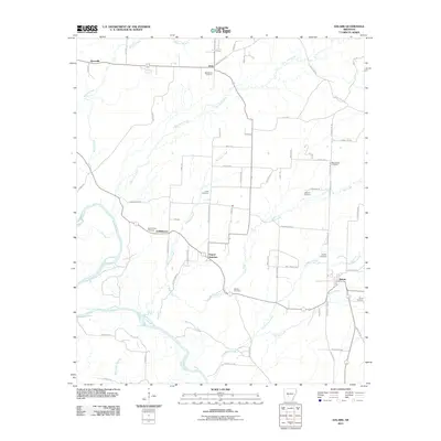 2011 Dalark2011 Print · USGSThe Clark County countryside is captured here in the early twenty-first century, showing the rural crossroads of Gravel Junction and Griffithtown. Genealogists can trace family heritage through numerous sites like Jones Cemetery, Strong Cemetery, and Macedonia Cemetery.
 - 2011 Map of Manning, 2011 Print
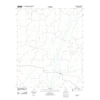 2011 Manning2011 Print · USGSThe rural landscape of Dallas County comes into focus in the early 2000s, centered on the settlement of Manning. Genealogists and local historians can trace family locations near Caldwell Chapel Cemetery, DeLamar Cemetery, and the banks of Cypress Creek.
 - 2011 Map of Donaldson, 2011 Print
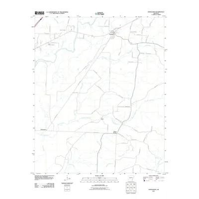 2011 Donaldson2011 Print · USGSThe Ouachita River valley in Hot Spring County appears in high detail during this early twenty-first-century survey. Researchers can trace rural lineages and property boundaries through sites like Ouachita Cemetery, the Donaldson Post Office, and the settlement of Brown Springs.
 - 2011 Map of Bunn, 2011 Print
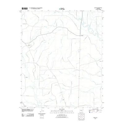 2011 Bunn2011 Print · USGSDallas County during the early 2010s shows a landscape of timbered stretches and river bottoms anchored by Bunn and Farindale. Researchers can trace local lineage through several family burial grounds including Hampton Springs Cemetery, Hardcastle Cemetery, and Wright Cemetery.
 - 2011 Map of Carthage, 2011 Print
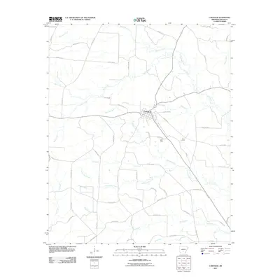 2011 Carthage2011 Print · USGSCarthage and its surrounding Dallas County countryside are shown here in the early twenty-first century, revealing a rural landscape shaped by the Moro Creek watershed. Researchers can trace local landmarks and property access routes like Stark Bland Rd, Bethel Cemetery, and Canada Creek.
 - 2011 Map of Staves, 2011 Print
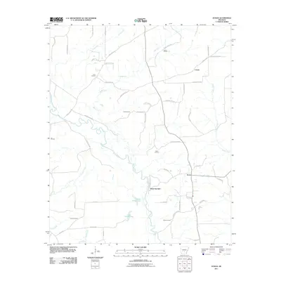 2011 Staves2011 Print · USGSCleveland County's river-bottom terrain is captured here in the early 2000s, showcasing the rural landscapes along the Saline River. Genealogists and local historians can trace family roots through several landmarks, including Shell Cemetery, Davis Cemetery, and the settlement at Staves.
 - 2011 Map of Millerville, 2011 Print
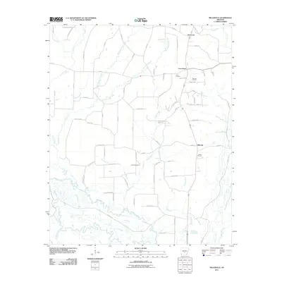 2011 Millerville2011 Print · USGSGrant County’s rural interior in the early 21st century remains defined by its winding waterways and quiet crossroads. Genealogists and local historians can trace family locations near Shiloh Cemetery, the Saline River, or the settlement of Millerville.
 - 2011 Map of Tulip, 2011 Print
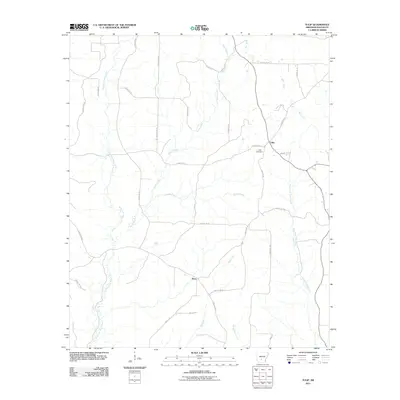 2011 Tulip2011 Print · USGSDallas County in the early twenty-first century reveals a landscape of quiet timber roads and creek-side settlements. Researchers can trace family roots near Tulip Cemetery or explore the rural routes connecting Tulip and Wave along Moro Creek.
 - 2011 Map of Leola, 2011 Print
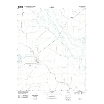 2011 Leola2011 Print · USGSThe community of Leola and the winding Saline River define this South Arkansas landscape during the early 2000s. Researchers can trace family roots at Moores Cemetery and Crowder Cemetery or locate landmarks like Katheryns Landing Airport.
 - 2011 Map of Willow, 2011 Print
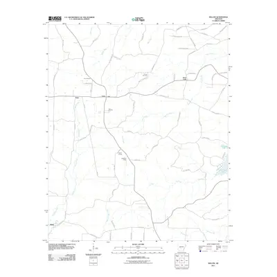 2011 Willow2011 Print · USGSHot Spring County rural life in the early 2010s is defined by a network of creek-side settlements and timber roads. Family historians can trace local roots through landmarks like Gray Cemetery, Lono Cemetery, and the small community of Rolla.
 - 2011 Map of Kingsland, 2011 Print
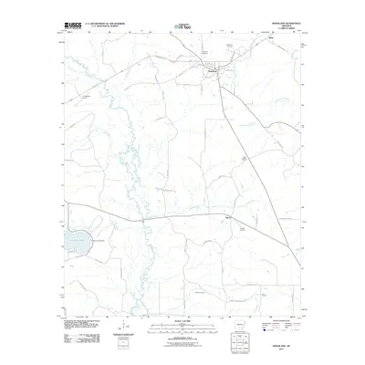 2011 Kingsland2011 Print · USGSCleveland County at the start of the 2010s reveals a landscape defined by small settlements and the winding paths of Moro Creek and Saline. Genealogists can trace family footprints through sites like Kingsland Cemetery, Crain Cemetery, and the quiet crossroads at Tipton.
 - 2011 Map of Round Hill, 2011 Print
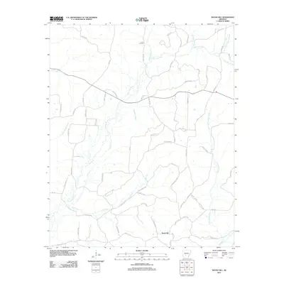 2011 Round Hill2011 Print · USGSThe rural Arkansas landscape near Round Hill is captured here in the early twenty-first century, showing a region deeply shaped by its many waterways. Researchers can trace local lineage at Sardis Cemetery or follow the paths of L'Eau Frais Creek and the Gunnysack Tram.
 - 2014 Map of Kingsland, 2014 Print
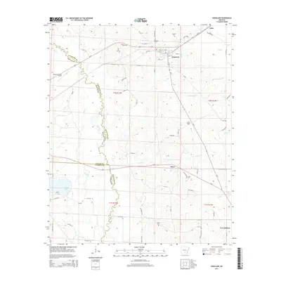 2014 Kingsland2014 Print · USGSCleveland County's timberlands and creek bottoms are captured here in the mid-2010s as traditional rural life continues around Kingsland. Researchers can trace family history through Kingsland Cem, McCoy Cem, and local routes like OLD GIN RD and MARKS CEMETARY RD.
 - 2014 Map of Princeton West, 2014 Print
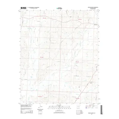 2014 Princeton West2014 Print · USGSIn the early 2010s, this area of Dallas County, Arkansas, remained defined by its intricate creek systems and rural settlements. Researchers can trace ancestral locations near Princeton and Jacinto, or locate family burial grounds at Henderson Cem and Taylor Cem.
 - 2014 Map of Tates Bluff, 2014 Print
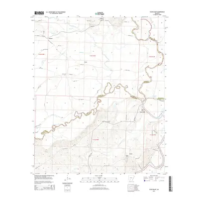 2014 Tates Bluff2014 Print · USGSThe river bottoms and bluffs of South Central Arkansas are captured here during the early twenty-first century as the timber and water systems shaped the land. Researchers can find old burial sites and rural communities like Vaden, Tates Bluff, and Easley Cem.
Showing maps 1-25 of 66
Top cities of Dallas County
Frequently asked questions
- What are the different types of historical maps available for Dallas County?
- What is the oldest map of Dallas County?
- Where can I purchase historical maps of Dallas County for my home or office?
- Where can I download high-res historical maps of Dallas County?
- Are there historical topographic maps available for Dallas County?
- Is there historical aerial imagery available for Dallas County?
- Where are historical maps of Dallas County sourced from?