2020s Maps of Drew County, Arkansas
Explore 44 historic maps of Drew County from the 2020s. These maps offer a rare glimpse into what life looked like during the 2020s — showing old roads, neighborhoods, homes, and landmarks that have changed or disappeared over time.
Whether you're researching your family's past, planning a metal detecting trip, or studying how Drew County's landscape evolved across the 2020s, these high-resolution maps are a powerful tool for exploring the history of this region.
- Focus on a specific era: All maps on this page are from the 2020s, giving you a focused view of this time period.
- See what’s changed: Compare century-old streets, trails, and buildings to today's modern landscape using overlays and satellite layers.
- Research with precision: Use these maps for genealogy, historical research, land use analysis, or educational projects.
- View, download, or print: Maps are fully viewable online in high resolution, and can be downloaded or printed for your own records.
Start exploring Drew County's history through authentic maps from the 2020s. This is your window into the past.
Drew County, AR maps
(44)- 2020 Map of Wilmar North, 2020 Print
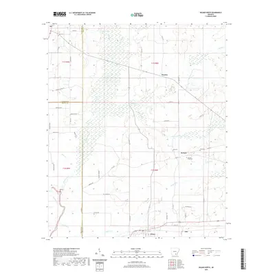 2020 Wilmar North2020 Print · USGSSoutheast Arkansas near the Saline River appears here during a period of established rural settlement and forestry. Researchers can trace family roots through several local burial sites like Andrews Chapel Cem and Torian Cem, or locate old homesteads near Barkada and Wilmar.
 - 2020 Map of Collins NW, 2020 Print
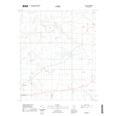 2020 Collins NW2020 Print · USGSSoutheast Arkansas in the early twenty-first century reveals a landscape where rural life and aviation meet on the edge of town. Genealogists and local historians can trace family roots at Mount Tabor Cem, Shady Grove Cem, and Old Union Cem.
 - 2020 Map of Longview, 2020 Print
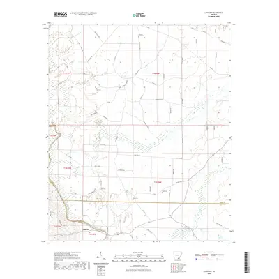 2020 Longview2020 Print · USGSThe tri-county border of Bradley, Drew, and Ashley counties is captured here in the contemporary era. Genealogists can trace a wealth of local burial sites including Mount Peter Cem, Prairie Chapel Cem, and Ozment Cem along the Saline River.
 - 2020 Map of Cominto, 2020 Print
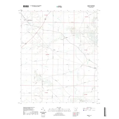 2020 Cominto2020 Print · USGSThe southeast outskirts of Monticello and the surrounding timberlands are captured here in the contemporary era. Trace local family history at Enon Cemetery and Moore Cemetery, or follow old routes like Old Troy Road through the rural communities of Deane and Cominto.
 - 2020 Map of Line, 2020 Print
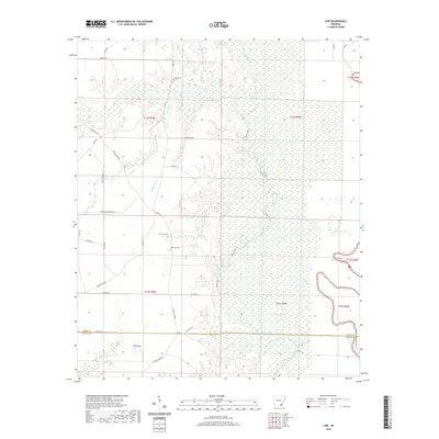 2020 Line2020 Print · USGSSoutheast Arkansas at the turn of the decade is defined by the winding course of Bayou Bartholomew and the surrounding timberlands. Genealogists can trace local roots at family-named landmarks like Roper Cem, Old Troy Cem, and Townsend Lake.
 - 2020 Map of McGehee North, 2020 Print
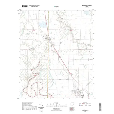 2020 McGehee North2020 Print · USGSDesha and Drew counties are seen here in the recent decade, where the Delta landscape remains defined by its bayous and small agricultural towns. Researchers can trace family roots through numerous rural sites like Bogue Pilgrim Cem, Tillar Cem, and the historic banks of Bayou Bartholomew.
 - 2020 Map of Selma, 2020 Print
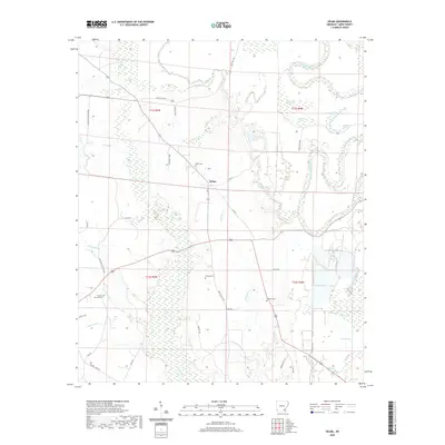 2020 Selma2020 Print · USGSThe rural landscape of Selma and the Bayou Bartholomew bottomlands are documented here in the early twenty-first century. Researchers can trace family history at Selma Cem or Dabney Cem and study the wetlands around Milk Track Brake and Jerden Brake.
 - 2020 Map of Winchester, 2020 Print
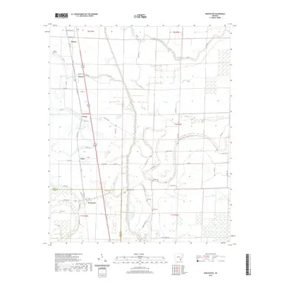 2020 Winchester2020 Print · USGSDesha County and the outskirts of Dumas appear here in the early twenty-first century as a landscape of structured drainage and historic rural settlements. Genealogists can trace family footprints through several local burial grounds such as Newton Cem, Hopkins Cem, and Dixon Cem.
 - 2020 Map of Wilmar South, 2020 Print
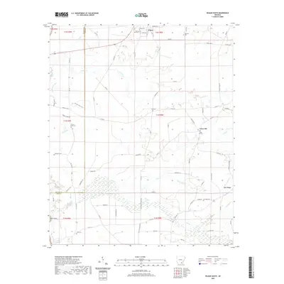 2020 Wilmar South2020 Print · USGSSoutheastern Arkansas at the edge of the Gulf Coastal Plain is shown here during a period of modern mapping. Researchers can trace local genealogy through several burial sites including Corinth-O'Neil Cem, Old Saline Cem, and Shiloh Cem.
 - 2020 Map of Jerome, 2020 Print
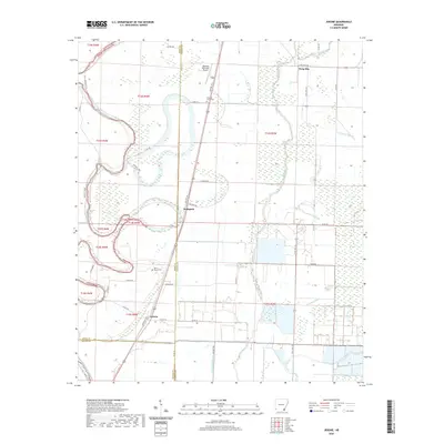 2020 Jerome2020 Print · USGSThe borderlands of Southeast Arkansas come into focus in this recent survey of the Chicot and Drew county lines. Genealogists and local researchers can pinpoint family landmarks like Silver Mound Cem, the community of Hudspeth, and the winding course of Bayou Bartholomew.
 - 2020 Map of Cornerville, 2020 Print
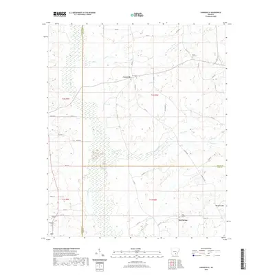 2020 Cornerville2020 Print · USGSSoutheast Arkansas country life is documented here at the intersection of three counties. Genealogists can locate family burial sites such as Newton Chapel Cem and Rock Springs Cem or trace the wetland edges of Beaver Slough.
 - 2020 Map of McGehee South, 2020 Print
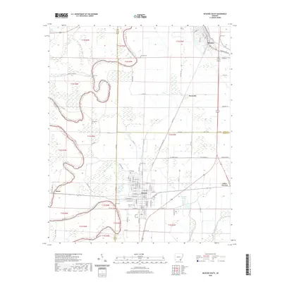 2020 McGehee South2020 Print · USGSSoutheast Arkansas in the modern era is captured here as a landscape of Delta bayous and agricultural crossroads. Researchers can trace family history through several burial sites like Duncan Cem and Youngs Cem, or locate the specific rail-side layouts of Dermott and Halley Junction.
 - 2020 Map of Relfs Bluff, 2020 Print
 2020 Relfs Bluff2020 Print · USGSCoastal plain farmland and timber tracts define the landscape of south-central Arkansas in the early twenty-first century. Genealogists and local historians can trace the rural road networks and local landmarks surrounding the settlement of Garnett.
 - 2020 Map of Mist NW, 2020 Print
 2020 Mist NW2020 Print · USGSSoutheast Arkansas as it appeared in the late twenty-teens, showing the intersection of Drew and Ashley Counties amidst a dense network of forest and creeks. Genealogists and local historians can locate Jordan Cem, trace the path of the Old Tram Rd, and explore the drainage of Bearhouse Cr.
 - 2020 Map of Collins, 2020 Print
 2020 Collins2020 Print · USGSDrew County's bottomlands are preserved here in the early twenty-first century, showing a landscape defined by the winding Bayou Bartholomew. Researchers can trace family sites at Solomon Allen Cem or explore the wetlands around Seven Devils Lake.
 - 2020 Map of Monticello North, 2020 Print
 2020 Monticello North2020 Print · USGSMonticello and the surrounding timberlands of Drew County are detailed here in the 2020s. Genealogists can trace local roots through numerous sites like Oakland Cemetery, the Drew County Courthouse, and the rural settlement of Montongo.
 - 2020 Map of Ladelle, 2020 Print
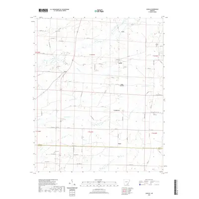 2020 Ladelle2020 Print · USGSSoutheast Arkansas in the early twenty-first century remains a landscape of small hamlets and family-named landmarks. Genealogists and historians can trace local ties through numerous burial sites like Lone Sassafras Cem and Lacey Cem or the rural roads connecting Ladelle and Valley Junction.
 - 2020 Map of Gourd, 2020 Print
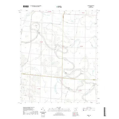 2020 Gourd2020 Print · USGSThe Delta lowlands of Southeast Arkansas come into focus in this recent survey of the Bayou Bartholomew meanders. Genealogists and local historians can locate family burial sites at Curtis Hall Cem or trace the river's path through The Gourd and Grissoms Bend.
 - 2020 Map of Tyro, 2020 Print
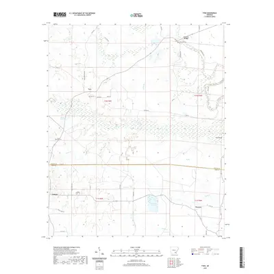 2020 Tyro2020 Print · USGSThe borderlands of Lincoln and Drew Counties are captured in this recent survey, showcasing a landscape of bottomland prairies and small rural hubs. Researchers can locate family landmarks like Tyro Cem, Oak Grove Cem, and the small community of Florence.
 - 2020 Map of Monticello South, 2020 Print
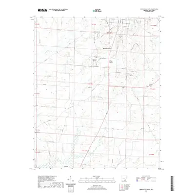 2020 Monticello South2020 Print · USGSMonticello and the surrounding Drew County countryside are documented here in the early twenty-first century. Researchers can locate family landmarks like Rough and Ready Cem and the University of Arkansas at Monticello campus, or trace the paths of Tenmile Cr and Snake Hole Cr.
 - 2020 Map of Sumpter, 2020 Print
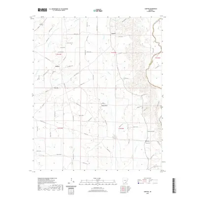 2020 Sumpter2020 Print · USGSBradley County at the start of the 2020s shows a rural landscape of timberlands and small communities anchored by the Saline River. Genealogists can trace family names and local history at sites like Pattsville Cem, Sumpter, and the settlement of Mount Olive.
 - 2020 Map of Warren, 2020 Print
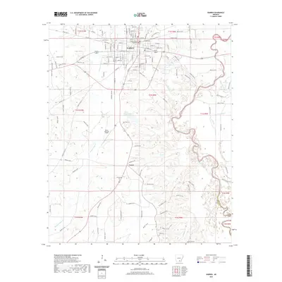 2020 Warren2020 Print · USGSWarren and its surrounding Bradley County countryside are captured here in the 2020s, showing the city's growth along the Saline River. Researchers can trace local genealogy through numerous sites like Oakland Cem and the courthouse square in Warren.
 - 2024 Map of Gourd, 2024 Print
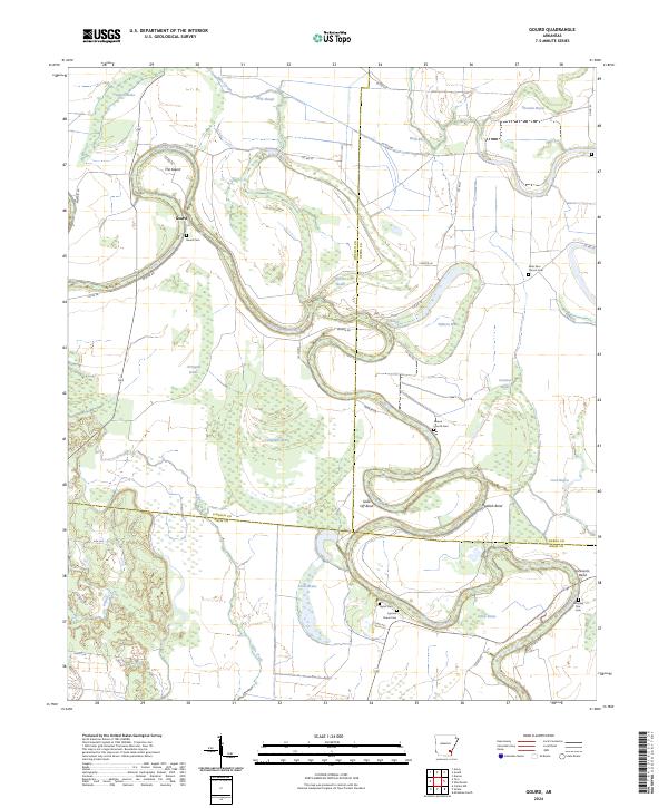 2024 Gourd2024 Print · USGSThe alluvial plains of Lincoln, Desha, and Drew counties come into focus here, where the winding Bayou Bartholomew creates a complex network of oxbows and brakes. Genealogists can trace family roots through numerous local burial sites like Cypress Grove Cem, Taylor Cem, and Saint Paul Church Cem.
 - 2024 Map of Line, 2024 Print
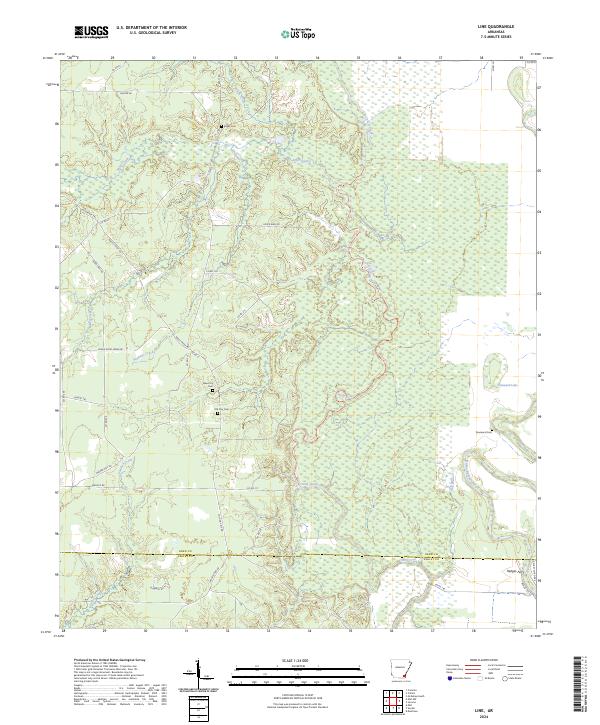 2024 Line2024 Print · USGSSoutheast Arkansas in the early twenty-first century reveals a landscape shaped by bottomland hydrology and rural heritage. Researchers can trace historic family sites and early crossings at Old Troy Cem, Townsend Cem, and the riverfront at Hedges Ferry.
 - 2024 Map of Cornerville, 2024 Print
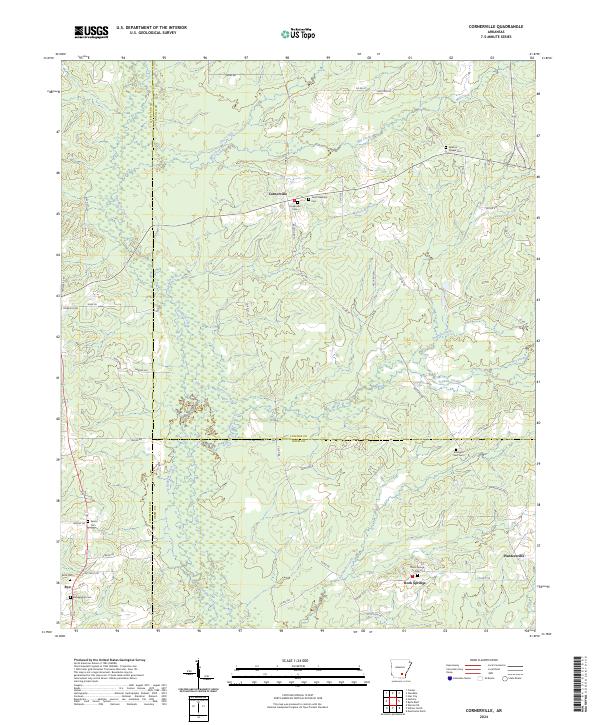 2024 Cornerville2024 Print · USGSThe rural intersection of Cleveland, Lincoln, and Drew counties comes into focus in this contemporary survey of South Arkansas. Researchers can trace local lineage through several burial sites including Newton Chapel Cem, Searcy Cem, and Strangers Rest Cem.
Showing maps 1-25 of 44
Top cities of Drew County
Frequently asked questions
- What are the different types of historical maps available for Drew County?
- What is the oldest map of Drew County?
- Where can I purchase historical maps of Drew County for my home or office?
- Where can I download high-res historical maps of Drew County?
- Are there historical topographic maps available for Drew County?
- Is there historical aerial imagery available for Drew County?
- Where are historical maps of Drew County sourced from?