2000s (21st Century) Maps of Drew County, Arkansas
Explore 110 historic maps of Drew County from the 2000s (21st Century). These maps offer a rare glimpse into what life looked like during the 2000s — showing old roads, neighborhoods, homes, and landmarks that have changed or disappeared over time.
Whether you're researching your family's past, planning a metal detecting trip, or studying how Drew County's landscape evolved across the 2000s, these high-resolution maps are a powerful tool for exploring the history of this region.
- Focus on a specific era: All maps on this page are from the 2000s, giving you a focused view of this time period.
- See what’s changed: Compare century-old streets, trails, and buildings to today's modern landscape using overlays and satellite layers.
- Research with precision: Use these maps for genealogy, historical research, land use analysis, or educational projects.
- View, download, or print: Maps are fully viewable online in high resolution, and can be downloaded or printed for your own records.
Start exploring Drew County's history through authentic maps from the 2000s. This is your window into the past.
Drew County, AR maps
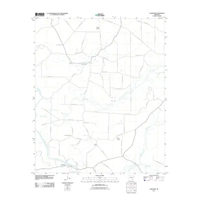
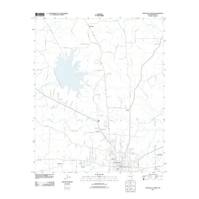
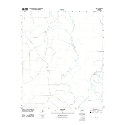
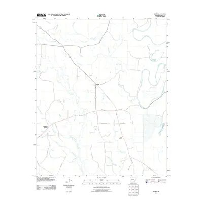
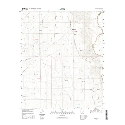
(110)- 2011 Map of Sumpter, 2011 Print
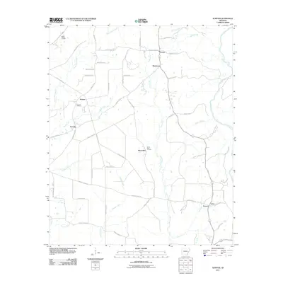 2011 Sumpter2011 Print · USGSCovers Drew County, including Mannstown, Sumpter, and other nearby areas
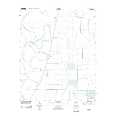
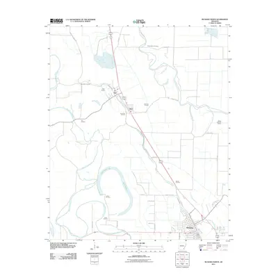
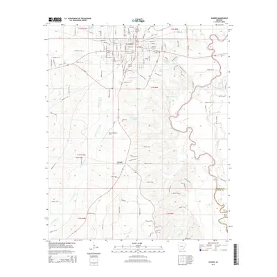
 - 2011 Map of Warren, 2011 Print
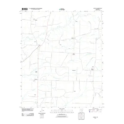
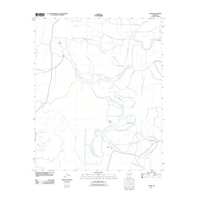
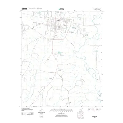 2011 Warren2011 Print · USGSCovers Drew County, including Warren, Carmel, and other nearby areas
 - 2011 Map of Wilmar North, 2011 Print
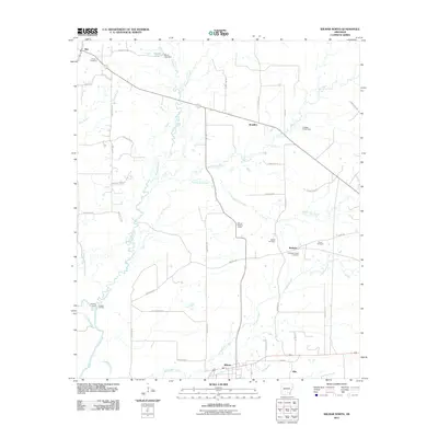 2011 Wilmar North2011 Print · USGSCovers Drew County, including Wilmar, Barkada, and other nearby areas
 - 2011 Map of Cominto, 2011 Print
 2011 Cominto2011 Print · USGSCovers Drew County, including Monticello, Deane, and other nearby areas
 - 2011 Map of Longview, 2011 Print
 2011 Longview2011 Print · USGSCovers Drew County, including Longview, Ashley County, and other nearby areas
 - 2011 Map of Wilmar South, 2011 Print
 2011 Wilmar South2011 Print · USGSCovers Drew County, including Wilmar, New Hope, and other nearby areas
 - 2011 Map of Tyro, 2011 Print
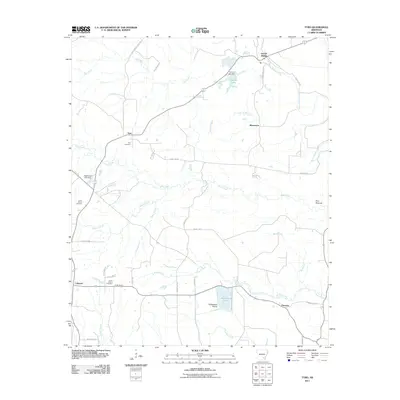 2011 Tyro2011 Print · USGSCovers Drew County, including Coleman, Florence, and other nearby areas
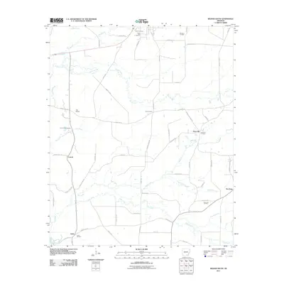
 - 2011 Map of Mist NW, 2011 Print
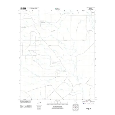 2011 Mist NW2011 Print · USGSCovers Drew County, including Ashley County, United States, and other nearby areas
 - 2011 Map of Monticello North, 2011 Print
 2011 Monticello North2011 Print · USGSCovers Drew County, including Monticello, Rose Hill, and other nearby areas
 - 2011 Map of Jerome, 2011 Print
 2011 Jerome2011 Print · USGSCovers Drew County, including Jerome, Deep Elm, and other nearby areas
 - 2011 Map of McGehee South, 2011 Print
 2011 McGehee South2011 Print · USGSCovers Drew County, including McGehee, Dermott, and other nearby areas
 - 2011 Map of Collins, 2011 Print
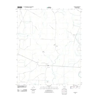 2011 Collins2011 Print · USGSCovers Drew County, including Collins, United States, and other nearby areas
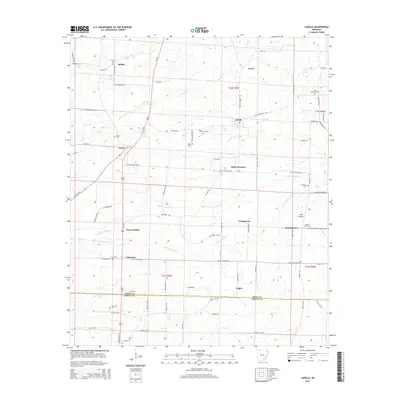
 - 2011 Map of Ladelle, 2011 Print
 2011 Ladelle2011 Print · USGSCovers Drew County, including Goose Hollow, Lacey, and other nearby areas
 - 2011 Map of Collins NW, 2011 Print
 2011 Collins NW2011 Print · USGSCovers Drew County, including Monticello, United States, and other nearby areas
 - 2011 Map of Gourd, 2011 Print
 2011 Gourd2011 Print · USGSCovers Drew County, including Gourd, Lincoln County, and other nearby areas
 - 2011 Map of Relfs Bluff, 2011 Print
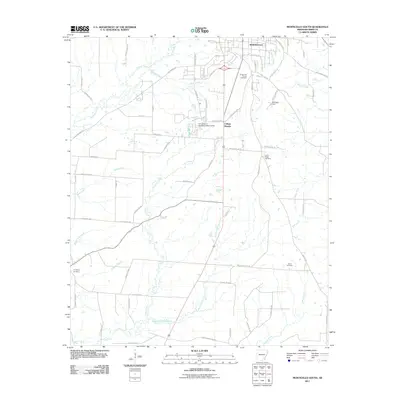
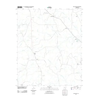 2011 Relfs Bluff2011 Print · USGSCovers Drew County, including Little Garnett, Relfs Bluff, and other nearby areas
 - 2011 Map of Line, 2011 Print
 2011 Line2011 Print · USGSCovers Drew County, including Ashley County, United States, and other nearby areas
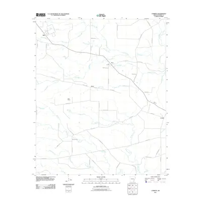
 - 2011 Map of Cornerville, 2011 Print
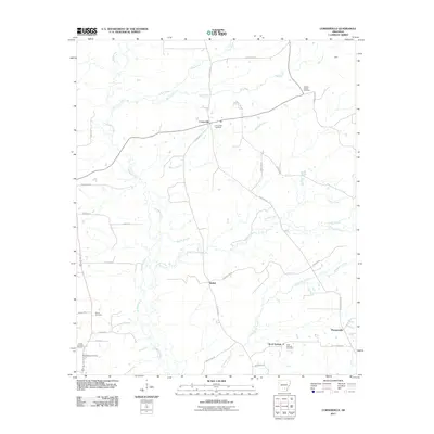 2011 Cornerville2011 Print · USGSCovers Drew County, including Rock Springs, Bethel, and other nearby areas
 - 2011 Map of Monticello South, 2011 Print
 2011 Monticello South2011 Print · USGSCovers Drew County, including Monticello, College Heights, and other nearby areas
 - 2011 Map of Winchester, 2011 Print
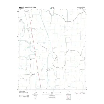 2011 Winchester2011 Print · USGSCovers Drew County, including Dumas, Winchester, and other nearby areas
 - 2011 Map of Selma, 2011 Print
 2011 Selma2011 Print · USGSCovers Drew County, including Selma, Sixteenth Section, and other nearby areas
 - 2011 Map of McGehee North, 2011 Print
 2011 McGehee North2011 Print · USGSCovers Drew County, including McGehee, Tillar, and other nearby areas
 - 2014 Map of Ladelle, 2014 Print
 2014 Ladelle2014 Print · USGSCovers Drew County, including Goose Hollow, Lacey, and other nearby areas
 - 2014 Map of Sumpter, 2014 Print
 2014 Sumpter2014 Print · USGSCovers Drew County, including Mannstown, Sumpter, and other nearby areas
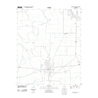
 - 2014 Map of Warren, 2014 Print
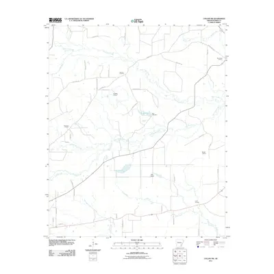
 2014 Warren2014 Print · USGSCovers Drew County, including Warren, Carmel, and other nearby areas
Showing maps 1-25 of 110
Top cities of Drew County
Frequently asked questions
- What are the different types of historical maps available for Drew County?
- What is the oldest map of Drew County?
- Where can I purchase historical maps of Drew County for my home or office?
- Where can I download high-res historical maps of Drew County?
- Are there historical topographic maps available for Drew County?
- Is there historical aerial imagery available for Drew County?
- Where are historical maps of Drew County sourced from?