2010s Maps of Drew County, Arkansas
Explore 66 historic maps of Drew County from the 2010s. These maps offer a rare glimpse into what life looked like during the 2010s — showing old roads, neighborhoods, homes, and landmarks that have changed or disappeared over time.
Whether you're researching your family's past, planning a metal detecting trip, or studying how Drew County's landscape evolved across the 2010s, these high-resolution maps are a powerful tool for exploring the history of this region.
- Focus on a specific era: All maps on this page are from the 2010s, giving you a focused view of this time period.
- See what’s changed: Compare century-old streets, trails, and buildings to today's modern landscape using overlays and satellite layers.
- Research with precision: Use these maps for genealogy, historical research, land use analysis, or educational projects.
- View, download, or print: Maps are fully viewable online in high resolution, and can be downloaded or printed for your own records.
Start exploring Drew County's history through authentic maps from the 2010s. This is your window into the past.
Drew County, AR maps
(66)- 2011 Map of Sumpter, 2011 Print
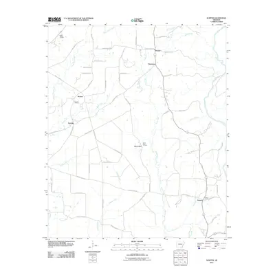 2011 Sumpter2011 Print · USGSBradley County in the early twenty-first century remains a landscape of quiet rural hamlets and creek-side settlements. Researchers can trace family origins through local landmarks like Hickory Springs Cemetery, Pattsville, and the church at Mount Olive.
 - 2011 Map of Warren, 2011 Print
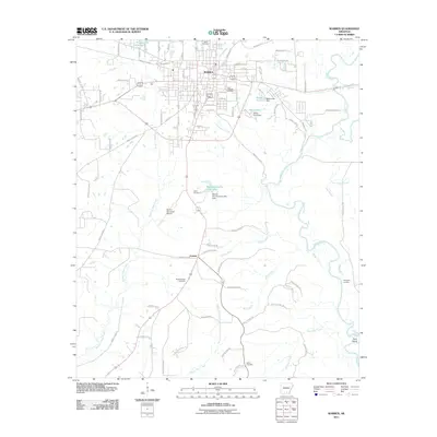 2011 Warren2011 Print · USGSWarren and its rural surroundings are captured here in the early twenty-first century, showing the balance between the town's growth and the Saline River bottomlands. Researchers can locate family landmarks like Oakland Cemetery, Saline Cemetery, and the riverfront at Hudspeth Landing.
 - 2011 Map of Wilmar North, 2011 Print
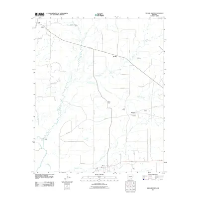 2011 Wilmar North2011 Print · USGSWilmar and northern Drew County are seen here in the early twenty-first century, showing a landscape defined by timberlands and the Saline River. Family historians can locate several burial grounds like Union Cemetery and Torian Cemetery, or trace old river access points at Cornish Landing.
 - 2011 Map of Cominto, 2011 Print
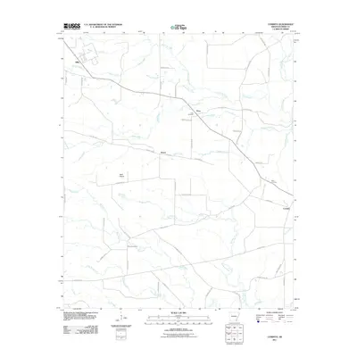 2011 Cominto2011 Print · USGSDrew County, Arkansas, at the start of the 2010s reveals a quiet landscape of rural settlements and named creek bottoms. Genealogists and researchers can trace local roots through burial grounds like Rash Cemetery and Moore Cemetery or the historic settlement of Cominto.
 - 2011 Map of Longview, 2011 Print
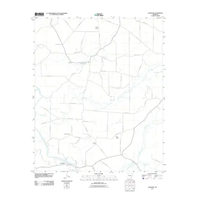 2011 Longview2011 Print · USGSSoutheast Arkansas at the start of the 2010s reveals a landscape shaped by the Saline River and a dense network of rural county roads. Researchers can locate numerous family burial grounds including Mount Peter, Ozment Cemetery, and Sixteenth Section Cemetery.
 - 2011 Map of Wilmar South, 2011 Print
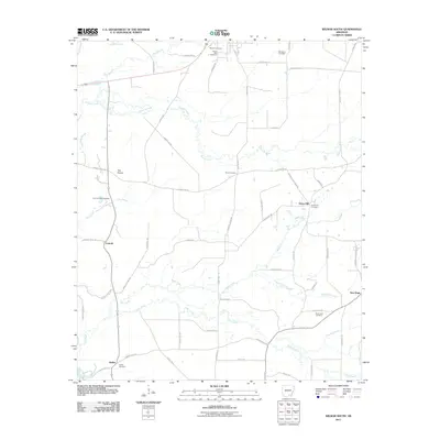 2011 Wilmar South2011 Print · USGSSoutheast Arkansas at the turn of the decade is captured here as a landscape of rural crossroads and family homesteads. Genealogists can trace deep local roots across numerous burying grounds, including Wilmar Cemetery, Shiloh Cemetery, and the Old Saline Cemetery.
 - 2011 Map of Tyro, 2011 Print
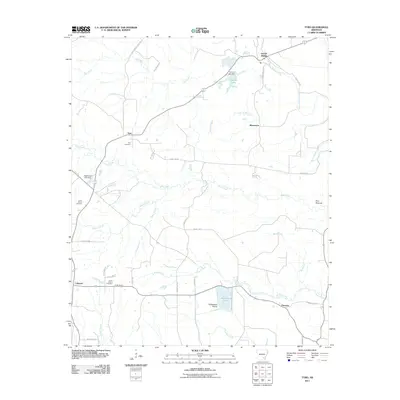 2011 Tyro2011 Print · USGSSoutheast Arkansas in the early twenty-first century reveals a landscape of enduring rural communities and winding waterways. Genealogists and local historians can trace family roots through Tyro Cemetery or locate landmarks like Twin Mounds and Garrett Bridge.
 - 2011 Map of Mist NW, 2011 Print
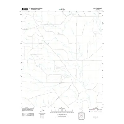 2011 Mist NW2011 Print · USGSAshley County at the start of the 2010s shows a landscape shaped by creek systems and timber history. Genealogists and local historians can trace family locations near Jordan Cemetery and Judkins Cemetery or follow the path of the Old Tram Rd.
 - 2011 Map of Monticello North, 2011 Print
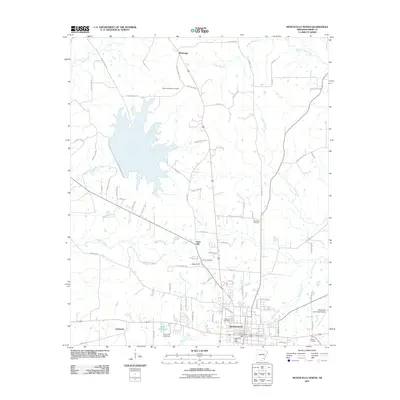 2011 Monticello North2011 Print · USGSMonticello and its northern rural outskirts are captured here during a period of steady regional growth in the early twenty-first century. Researchers can locate established family burial sites like Lawson Cemetery and trace local waterways from Tenmile Creek to Dura Craft Lake.
 - 2011 Map of Jerome, 2011 Print
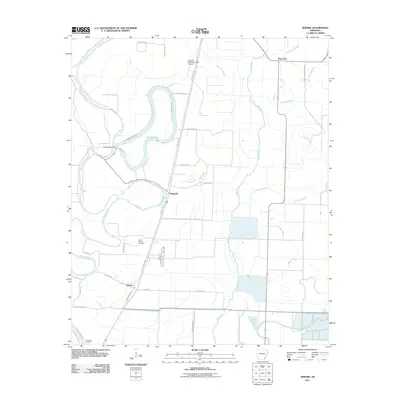 2011 Jerome2011 Print · USGSSoutheast Arkansas in the early twenty-first century reveals a landscape defined by the intricate waterways of the Delta and small crossroads communities. Researchers can trace family roots at Silver Mound Cemetery or explore the geography of Jerome and Lake Wallace.
 - 2011 Map of McGehee South, 2011 Print
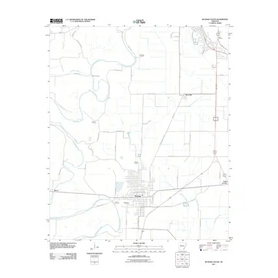 2011 McGehee South2011 Print · USGSDermott and the surrounding Desha County wetlands are captured here in the early twenty-first century as a landscape of structured agriculture and deep-rooted family sites. Researchers can locate numerous historic burial grounds including Duncan Cemetery and Coleman Cemetery near the winding Bayou Bartholomew.
 - 2011 Map of Collins, 2011 Print
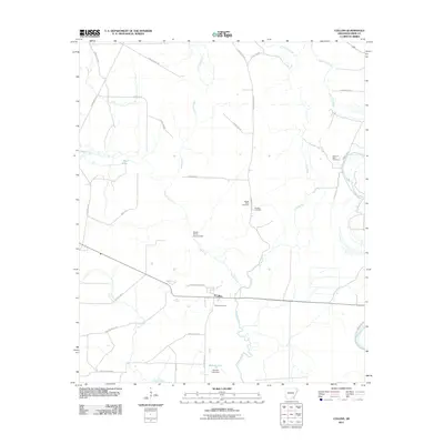 2011 Collins2011 Print · USGSSoutheast Arkansas in the early 2000s is captured here, centered on the rural hub of Collins and its surrounding wetlands. Genealogists can locate several local burial sites, including Collins Cemetery, Mount Olive Cemetery, and the Solomon Allen Cemetery.
 - 2011 Map of Ladelle, 2011 Print
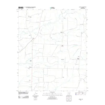 2011 Ladelle2011 Print · USGSDrew County's rural landscape is captured here in the early twenty-first century, showcasing a network of small communities and family burial sites. Genealogists can trace local heritage through Beulah Cemetery, Deal Cemetery, and settlements like Goose Hollow and Prairie Grove.
 - 2011 Map of Collins NW, 2011 Print
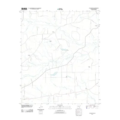 2011 Collins NW2011 Print · USGSSoutheast Arkansas in the early twenty-first century reveals a landscape where historic prairie clearings still define the rural geography. Researchers can locate family burial sites at Old Union Cemetery and Piney Cemetery or trace the winding waters of Lower Cutoff Creek.
 - 2011 Map of Gourd, 2011 Print
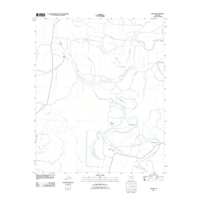 2011 Gourd2011 Print · USGSThe rural riverlands of Lincoln County are captured here in the early twenty-first century as agricultural life follows the winding path of Bayou Bartholomew. Researchers can locate family landmarks like Taylor Cemetery and Valley Farm or trace the distinct river curves at Slide Off Bend.
 - 2011 Map of Relfs Bluff, 2011 Print
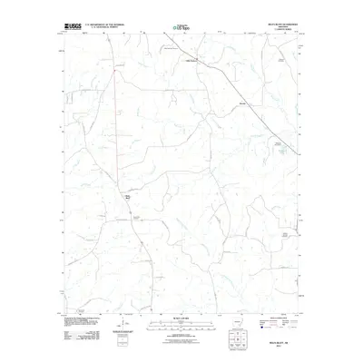 2011 Relfs Bluff2011 Print · USGSLincoln County at the start of the 2010s reveals a quiet landscape of rural settlements and winding creek beds. Researchers can locate several burial grounds like Holly Springs Cemetery and Maxwell Cemetery near Little Garnett.
 - 2011 Map of Line, 2011 Print
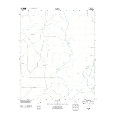 2011 Line2011 Print · USGSAshley County during the early twenty-first century reveals a landscape defined by meandering bottomlands and rural homesteads. Genealogists and local historians can pinpoint several generational burial grounds, including Old Troy Cemetery and Townsend Cemetery, situated near the waters of Cutoff Creek.
 - 2011 Map of Cornerville, 2011 Print
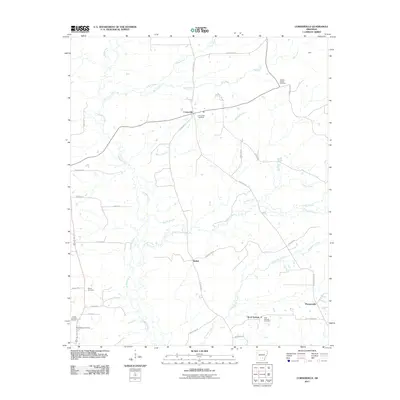 2011 Cornerville2011 Print · USGSSoutheast Arkansas at the start of the 2010s reveals a landscape of quiet rural settlements and established family landmarks. Genealogists can trace deep local roots through the Newton Chapel Cemetery, Searcy Cemetery, and the communities of Bethel and Cornerville.
 - 2011 Map of Monticello South, 2011 Print
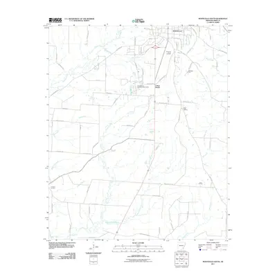 2011 Monticello South2011 Print · USGSDrew County's southern outskirts are captured here during a period of modern expansion around the university and older rural enclaves. Genealogists can trace family connections at Rough and Ready Cemetery, Baker Cemetery, and the University of Arkansas at Monticello.
 - 2011 Map of Winchester, 2011 Print
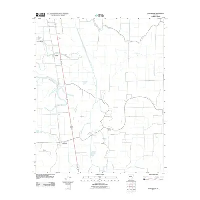 2011 Winchester2011 Print · USGSWinchester and the Arkansas Delta countryside are captured here in the early 2000s, showing a landscape of organized agriculture and scattered settlements. Genealogists can locate several burial sites including Walnut Lake Cemetery and Newton Cemetery near Pickens and Yukon.
 - 2011 Map of Selma, 2011 Print
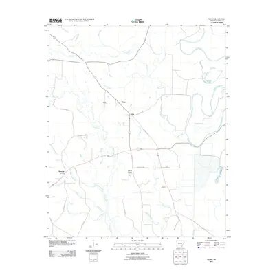 2011 Selma2011 Print · USGSSoutheast Arkansas in the early 21st century reveals a landscape defined by the winding Bayou Bartholomew and small crossroads settlements. Genealogists and local historians can trace family sites at Selma Cemetery, Dishongh Cemetery, and the Sixteenth Section community.
 - 2011 Map of McGehee North, 2011 Print
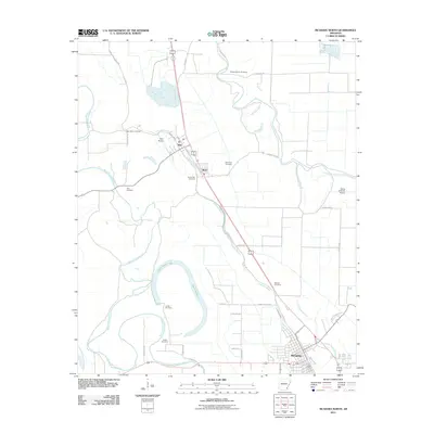 2011 McGehee North2011 Print · USGSDesha County at the turn of the decade shows a landscape of established delta settlements and intricate waterways. Genealogists can locate family names at Bogue Pilgrim Cemetery, McCool Cemetery, or Austin Cemetery along the banks of Bayou Bartholomew.
 - 2014 Map of Ladelle, 2014 Print
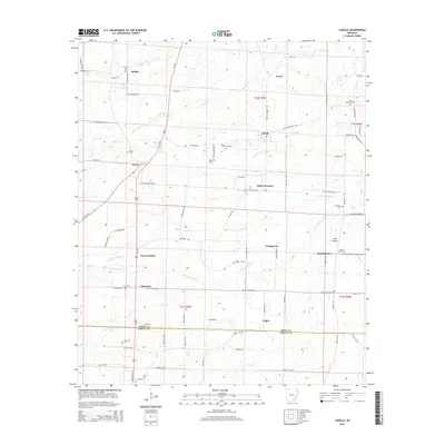 2014 Ladelle2014 Print · USGSSoutheast Arkansas in the early twenty-first century reveals a network of small timberland settlements and family cemeteries along the border of Drew and Ashley counties. Trace the local geography through Goose Hollow, Valley Junction, and burial sites like Lone Sassafras Cem.
 - 2014 Map of Sumpter, 2014 Print
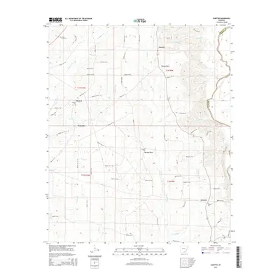 2014 Sumpter2014 Print · USGSBradley County's rural timber and agricultural lands are captured here during the early twenty-first century. Researchers can trace local heritage through the placement of Sumpter, Mount Olive, and several historic cemeteries like Hickory Springs Cem.
 - 2014 Map of Warren, 2014 Print
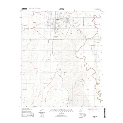 2014 Warren2014 Print · USGSBradley County in the early twenty-first century is defined by the steady growth of Warren and its riverine surroundings. Researchers can trace family history through numerous sites like Adams/Singer Cem and the settlement at Carmel.
Showing maps 1-25 of 66
Top cities of Drew County
Frequently asked questions
- What are the different types of historical maps available for Drew County?
- What is the oldest map of Drew County?
- Where can I purchase historical maps of Drew County for my home or office?
- Where can I download high-res historical maps of Drew County?
- Are there historical topographic maps available for Drew County?
- Is there historical aerial imagery available for Drew County?
- Where are historical maps of Drew County sourced from?