2020s Maps of Lawrence County, Arkansas
Explore 36 historic maps of Lawrence County from the 2020s. These maps offer a rare glimpse into what life looked like during the 2020s — showing old roads, neighborhoods, homes, and landmarks that have changed or disappeared over time.
Whether you're researching your family's past, planning a metal detecting trip, or studying how Lawrence County's landscape evolved across the 2020s, these high-resolution maps are a powerful tool for exploring the history of this region.
- Focus on a specific era: All maps on this page are from the 2020s, giving you a focused view of this time period.
- See what’s changed: Compare century-old streets, trails, and buildings to today's modern landscape using overlays and satellite layers.
- Research with precision: Use these maps for genealogy, historical research, land use analysis, or educational projects.
- View, download, or print: Maps are fully viewable online in high resolution, and can be downloaded or printed for your own records.
Start exploring Lawrence County's history through authentic maps from the 2020s. This is your window into the past.
Lawrence County, AR maps
(36)- 2020 Map of Walnut Ridge SE, 2020 Print
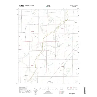 2020 Walnut Ridge SE2020 Print · USGSNortheast Arkansas farmland and wetlands define this recent survey of the Lawrence and Greene County line. Genealogists can locate family landmarks like Fender Cem, Ray Cem, and the small community of Fontaine nestled near Buffalo Head Slough.
 - 2020 Map of Noland, 2020 Print
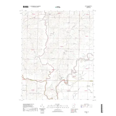 2020 Noland2020 Print · USGSRandolph and Lawrence counties are defined by the winding course of the Black River in the early twenty-first century. Researchers can trace family roots at Huffstedler and Chesser Cem or explore riverside landmarks like Deadman Bend and Richwoods.
 - 2020 Map of Ravenden, 2020 Print
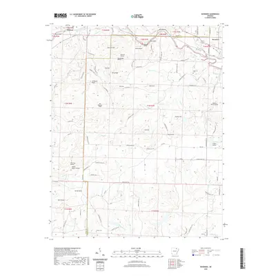 2020 Ravenden2020 Print · USGSThe borderlands of Sharp and Lawrence Counties come alive in this contemporary record of the Ozark foothills. Genealogists and local historians can trace legacy landmarks and rural burial grounds such as Opposition Cem, Coffman Cem, and the high ground of Graveyard Ridge.
 - 2020 Map of Williford, 2020 Print
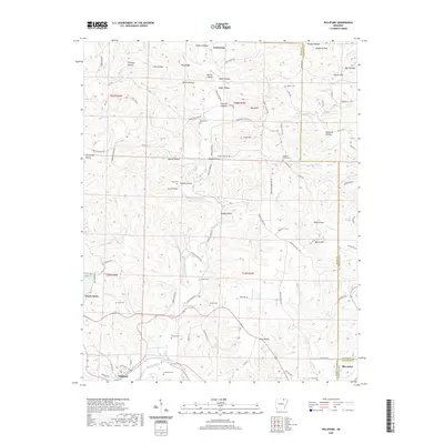 2020 Williford2020 Print · USGSSharp and Randolph counties meet at the bend of the Spring River in this detailed 2020 record of the Arkansas Ozarks. Researchers can trace rural lineages through numerous local sites like Bradford Cemetery, Ozark Acres, and the old settlement of Williford.
 - 2020 Map of O'Kean, 2020 Print
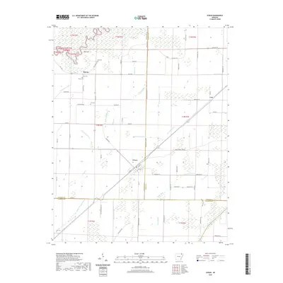 2020 O'Kean2020 Print · USGSThis rural portion of northeastern Arkansas at the turn of the decade shows the meeting of three counties amidst an extensive network of drainage ditches. Researchers can locate several family cemeteries, such as Serge Cem and Frye Cem, along with the small communities of Sharum and O'Kean.
 - 2020 Map of Ravenden Springs, 2020 Print
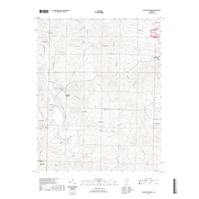 2020 Ravenden Springs2020 Print · USGSRavenden Springs and the surrounding Ozark foothills are documented here at the turn of the twenty-first century. Genealogists and local historians can trace family ties at Charter Oak Cem, locate Middle Spring, or follow the Eleven Point River near Elevenpoint.
 - 2020 Map of Eaton, 2020 Print
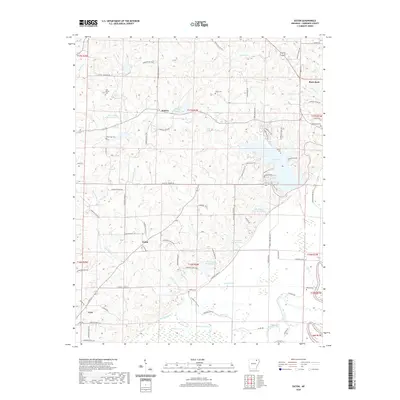 2020 Eaton2020 Print · USGSLawrence County settlements and small crossroads are mapped here in the early twenty-first century. Genealogists can locate family landmarks like Old Bethel Cem and McNutt Cem, or trace the waterways of Lake Charles and Sawlog Slough.
 - 2020 Map of Manson, 2020 Print
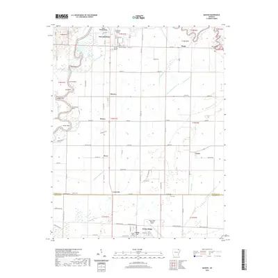 2020 Manson2020 Print · USGSThe Black River floodplain between Pocahontas and Walnut Ridge is captured here in detail during the early twenty-first century. Genealogists and local historians can locate several family-named landmarks and rural burial grounds, including Jones Cem, Watkins Cem, and the settlement at Manson.
 - 2020 Map of Delaplaine, 2020 Print
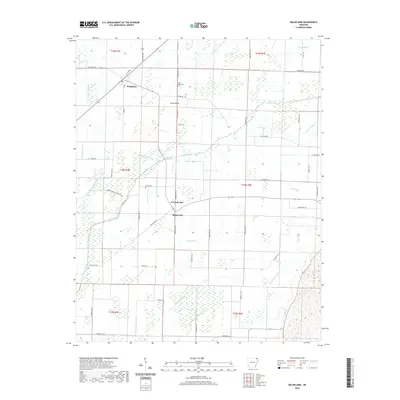 2020 Delaplaine2020 Print · USGSDelaplaine and the surrounding Greene County lowlands are shown here in the 2020s, defined by a complex drainage system. Researchers can trace rural lineages at Jones Ridge Cem or locate small communities like Evening Star and Black Jack.
 - 2020 Map of Black Rock, 2020 Print
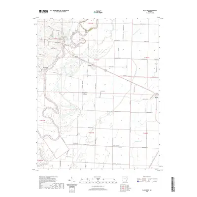 2020 Black Rock2020 Print · USGSThe Black River corridor in Lawrence County is captured here in the modern era, showing the enduring footprints of river and rail towns. Researchers can trace family history across numerous rural burial sites like Portia Cem and Whitlow Cem or locate the site of Box Factory Bend.
 - 2020 Map of Walnut Ridge, 2020 Print
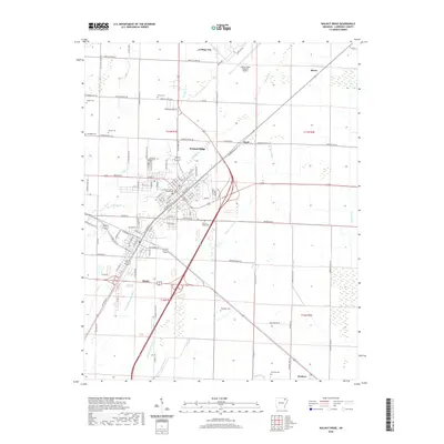 2020 Walnut Ridge2020 Print · USGSWalnut Ridge and Hoxie are seen here in recent years, serving as the critical rail and road junction of Lawrence County. Researchers can locate numerous family burial grounds including Pierce Cem and Whittaker Cem, alongside the Lawrence County Courthouse.
 - 2020 Map of Smithville, 2020 Print
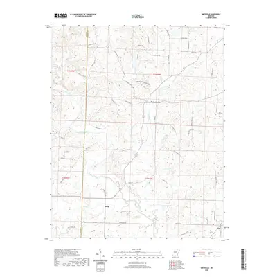 2020 Smithville2020 Print · USGSSettlement in Lawrence County is centered around the Strawberry River and its numerous tributaries during the 2020s. Researchers can locate family landmarks such as Townsend Cem, Hillhouse Cem, and the community of Smithville.
 - 2020 Map of Imboden, 2020 Print
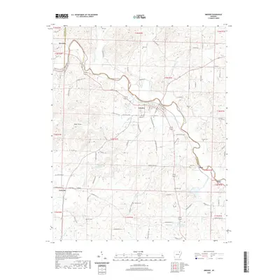 2020 Imboden2020 Print · USGSThe Spring River valley comes into focus in this recent survey of northeastern Arkansas. Family historians can locate numerous burial sites including Nation Cemetery and Hope Cemetery, or trace the rural roads connecting Imboden to Sloan and Hogan.
 - 2020 Map of Podo Creek, 2020 Print
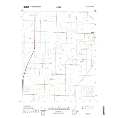 2020 Podo Creek2020 Print · USGSThis rural portion of Lawrence County at the start of the 2020s shows a landscape still defined by its intricate slough drainage systems and small farming communities. Researchers can locate numerous family burial sites like Arnold Cem and trace old transit routes such as Narrow Gauge Rd near Sedgwick.
 - 2020 Map of Bono, 2020 Print
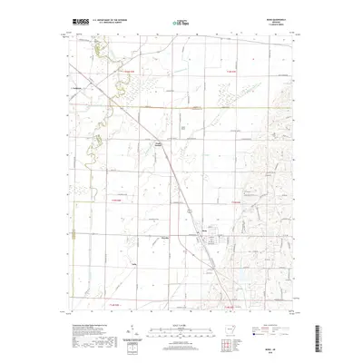 2020 Bono2020 Print · USGSBono and its surrounding farmsteads are captured here in the early twenty-first century, showing a landscape shaped by the BNSF Railway and drainage canals. Researchers can trace family history at Old Military Cem, Old Trinity Cem, and the rural community of Dorothy.
 - 2020 Map of Strawberry, 2020 Print
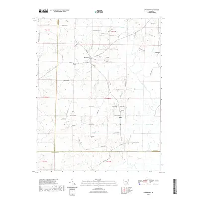 2020 Strawberry2020 Print · USGSLawrence County, Arkansas, at the start of the 2020s shows a landscape shaped by the Strawberry River and deep family roots. Genealogists can locate numerous burial sites including Mount Zion Cem and McNutt Cem near the settlements of Strawberry and Saffell.
 - 2020 Map of Strangers Home, 2020 Print
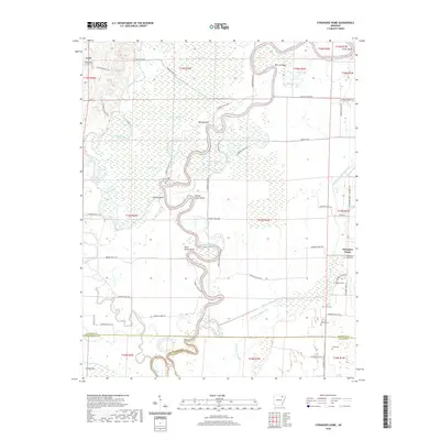 2020 Strangers Home2020 Print · USGSNortheastern Arkansas bottomlands come to life in this survey of the river country during the early twenty-first century. Researchers can locate numerous rural burial grounds like Strangers Home Cem and Broom Cem or trace the winding Black River through Rainey Brake.
 - 2020 Map of Alicia, 2020 Print
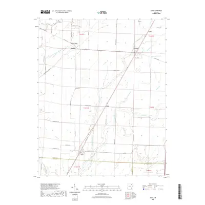 2020 Alicia2020 Print · USGSLawrence County at the dawn of the 2020s shows a landscape defined by delta agriculture and historic river-basin drainage. Local historians can trace family roots through sites like Clover Bend Cem, Miller Cem, and the old settlement at Alicia.
 - 2024 Map of Imboden, 2024 Print
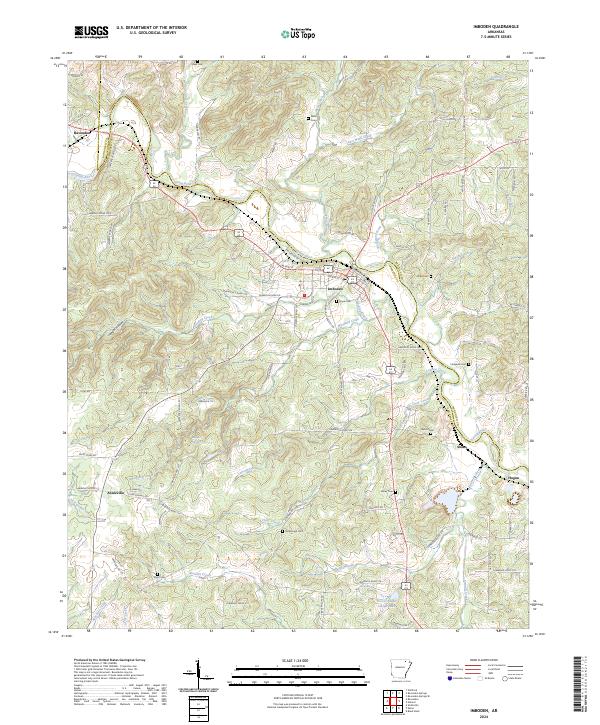 2024 Imboden2024 Print · USGSIn the river valleys of Lawrence and Randolph counties during the early twenty-first century, this area shows a landscape of small towns and rural homesteads. Genealogists can trace local heritage through numerous family burial sites like Holobaugh Cem, Campbell Cem, and Dent Cem.
 - 2024 Map of Noland, 2024 Print
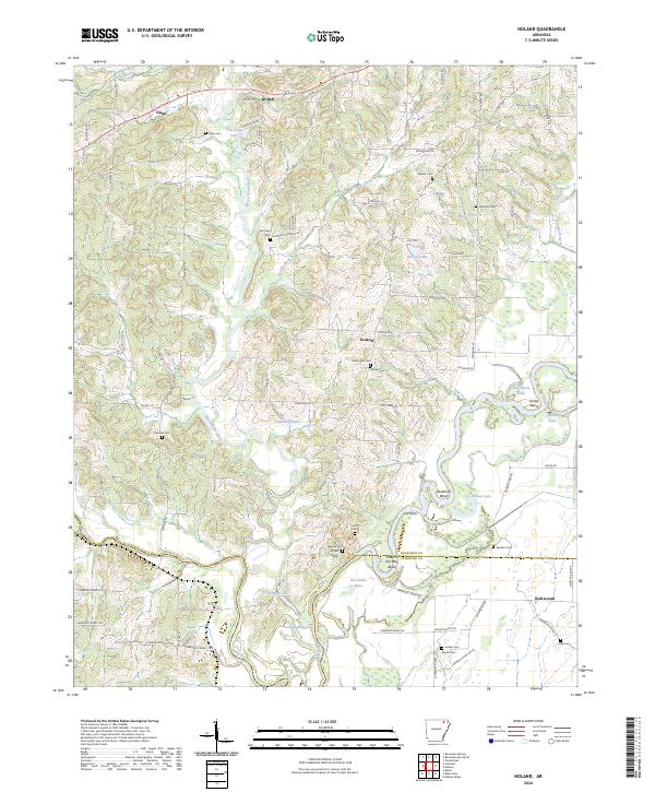 2024 Noland2024 Print · USGSRandolph and Lawrence counties meet at the confluence of several major rivers in the early twenty-first century. Genealogists and local historians can trace family roots through numerous burial sites like Huffstedler Cem and Harmony Cem near the river bends.
 - 2024 Map of Smithville, 2024 Print
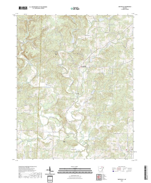 2024 Smithville2024 Print · USGSLawrence County's rural landscape is captured in this recent survey of the settlements along the Strawberry River. Researchers can trace local lineage through numerous family-named burial sites like Massey Cem and Hillhouse Cem near Smithville.
 - 2024 Map of Bono, 2024 Print
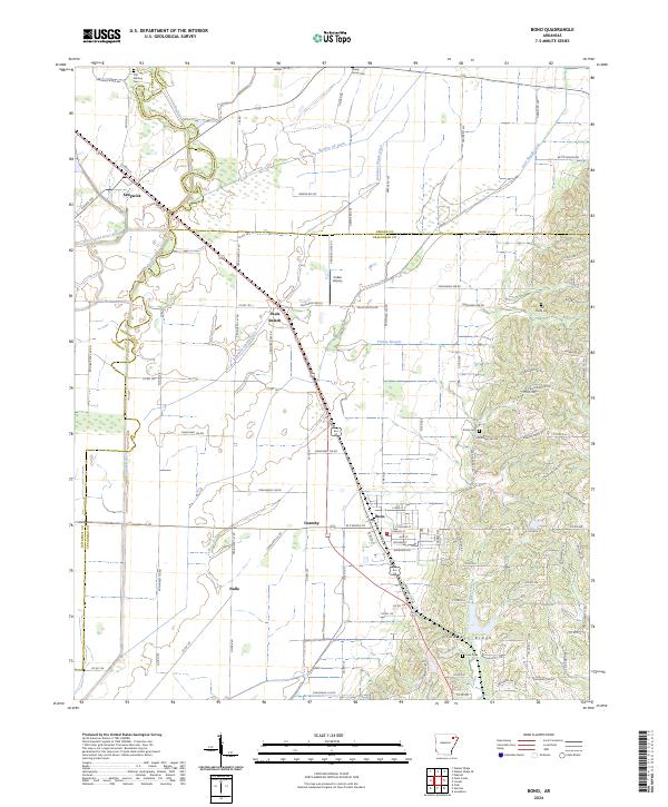 2024 Bono2024 Print · USGSNortheast Arkansas in the early twenty-first century reveals a landscape shaped by the BNSF Railway and the unique elevation of Crowleys Ridge. You can trace historical property lines and local burial sites like Old Military Cem and Love Cem near Bono and Sedgwick.
 - 2024 Map of Strawberry, 2024 Print
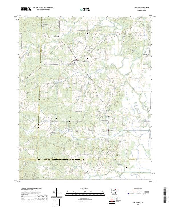 2024 Strawberry2024 Print · USGSNortheast Arkansas in the current era remains a landscape of quiet river towns and family legacies. Genealogists can trace deep roots through numerous sites like Jerusalem Cem and Mount Zion Cem or the community of Strawberry.
 - 2024 Map of Walnut Ridge, 2024 Print
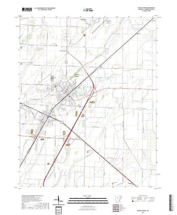 2024 Walnut Ridge2024 Print · USGSThe interconnected towns of Walnut Ridge and Hoxie are shown here alongside the agricultural drainages of the Arkansas Delta. Researchers can trace family history at Walnut Ridge Cem or locate the Lawrence County Courthouse and College City.
 - 2024 Map of Podo Creek, 2024 Print
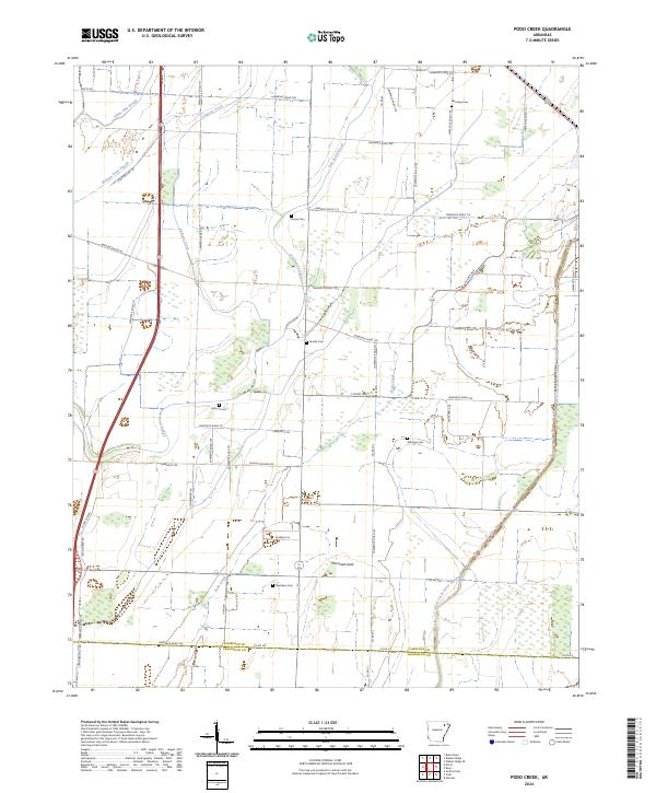 2024 Podo Creek2024 Print · USGSLawrence County, Arkansas, appears here in the contemporary era as a landscape defined by delta agriculture and historical family landmarks. Genealogists and local researchers can locate numerous burial grounds like Brown Cem and Roberts Cem or trace old routes like Narrow Gauge Rd.
Showing maps 1-25 of 36
Top cities of Lawrence County
- Walnut Ridge historical maps
- Hoxie historical maps
- Imboden historical maps
- Black Rock historical maps
- Portia historical maps
- Ravenden historical maps
See more
Frequently asked questions
- What are the different types of historical maps available for Lawrence County?
- What is the oldest map of Lawrence County?
- Where can I purchase historical maps of Lawrence County for my home or office?
- Where can I download high-res historical maps of Lawrence County?
- Are there historical topographic maps available for Lawrence County?
- Is there historical aerial imagery available for Lawrence County?
- Where are historical maps of Lawrence County sourced from?