2020s Maps of Little River County, Arkansas
Explore 35 historic maps of Little River County from the 2020s. These maps offer a rare glimpse into what life looked like during the 2020s — showing old roads, neighborhoods, homes, and landmarks that have changed or disappeared over time.
Whether you're researching your family's past, planning a metal detecting trip, or studying how Little River County's landscape evolved across the 2020s, these high-resolution maps are a powerful tool for exploring the history of this region.
- Focus on a specific era: All maps on this page are from the 2020s, giving you a focused view of this time period.
- See what’s changed: Compare century-old streets, trails, and buildings to today's modern landscape using overlays and satellite layers.
- Research with precision: Use these maps for genealogy, historical research, land use analysis, or educational projects.
- View, download, or print: Maps are fully viewable online in high resolution, and can be downloaded or printed for your own records.
Start exploring Little River County's history through authentic maps from the 2020s. This is your window into the past.
Little River County, AR maps
(35)- 2020 Map of Mineral Springs South, 2020 Print
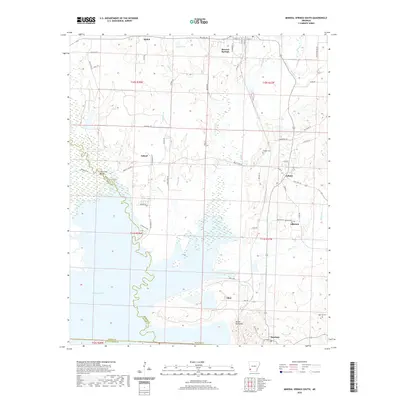 2020 Mineral Springs South2020 Print · USGSHoward County and Sevier County meet along the upper reaches of Millwood Lake in the late twenty-teens. Genealogists can trace family locations near Saratoga, Tollette, and several local burial sites such as High Hill Cemetery.
 - 2020 Map of McNab, 2020 Print
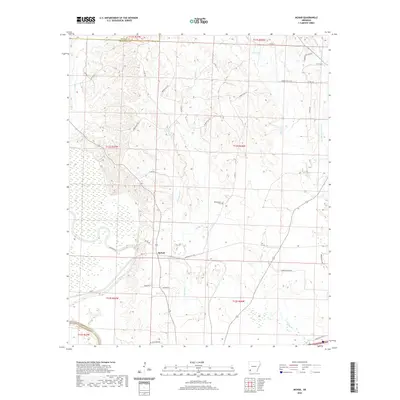 2020 McNab2020 Print · USGSHempstead County at the dawn of the 2020s shows a landscape defined by the wetlands of the Little River valley. Genealogists and local researchers can locate the Whitehouse Cem and trace historic routes like Allen's Ferry Rd near McNab.
 - 2020 Map of Homan, 2020 Print
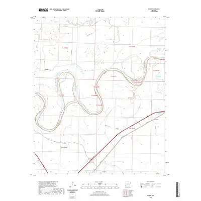 2020 Homan2020 Print · USGSThe Red River floodplain in Miller County comes to life in this modern survey of its winding oxbows and rural settlements. Genealogists can locate Paup Cemetery and trace family ties near Homan, Paup, and the banks of Bois d'Arc Bayou.
 - 2020 Map of Arden, 2020 Print
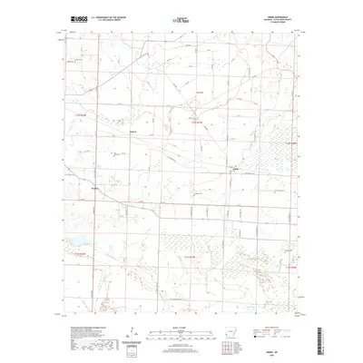 2020 Arden2020 Print · USGSLittle River County at the dawn of the 2020s shows a landscape of quiet rural settlements and winding bottomland bayous. Genealogists and local historians can locate several historic burial grounds, including Arden Cem, Gravelly Cem, and Hemphill Cem.
 - 2020 Map of Horatio, 2020 Print
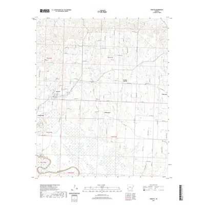 2020 Horatio2020 Print · USGSWestern Sevier County is shown here in the 2020s, centered on the community of Horatio and the lowlands of the Little River. Researchers can locate several distinct family and community burial grounds including Norwoodville Cem, Millwee Cem, and Boggy Springs Cem.
 - 2020 Map of Falls Chapel, 2020 Print
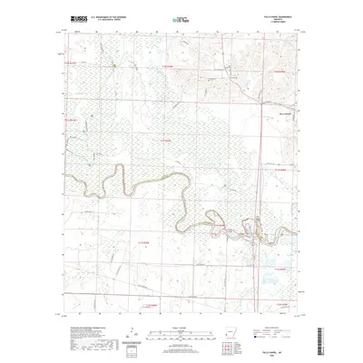 2020 Falls Chapel2020 Print · USGSBen Lomond and the Sevier County borderlands appear in great detail during the early twenty-first century. Researchers can trace ancestral sites at Falls Chapel Cem and Mills Cem, or follow the winding Little River to the Little River Bridge.
 - 2020 Map of Ashdown West, 2020 Print
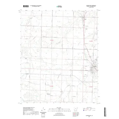 2020 Ashdown West2020 Print · USGSLittle River County in the early twenty-first century is captured here, showing the growth of Ashdown alongside established rural communities. Researchers can locate family sites and local landmarks like the Little River County Courthouse, Oak Hill Cem, and the settlement of Richmond.
 - 2020 Map of Ogden, 2020 Print
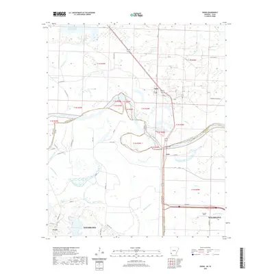 2020 Ogden2020 Print · USGSThe Red River corridor at the Arkansas-Texas border shows its modern landscape and rural settlements. Trace property lines and local landmarks from Ogden and Index to the Flying W Airport and the outskirts of Texarkana.
 - 2020 Map of Foreman, 2020 Print
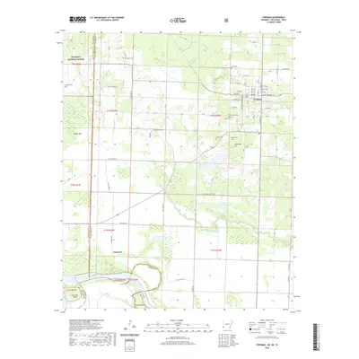 2020 Foreman2020 Print · USGSLittle River County at the meeting of three states reveals a landscape of river oxbows and historic rural cemeteries. Genealogists can trace family landmarks like Dollarhide Cem and Lanesport along the banks of the Red River.
 - 2020 Map of Cerrogordo, 2020 Print
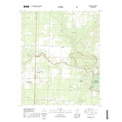 2020 Cerrogordo2020 Print · USGSThe Arkansas-Oklahoma borderlands come alive in this recent survey of the Sevier and Little River county line. Genealogists and local historians can trace family roots through sites like Cerrogordo Cem, West Otis, and the river crossing at Dog Town Bridge.
 - 2020 Map of Arkinda, 2020 Print
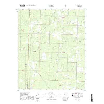 2020 Arkinda2020 Print · USGSThe Oklahoma and Arkansas state line meets in this 2020 survey of Little River County, highlighting a landscape of timberlands and rural crossroads. Local historians can locate numerous burial sites including Piney Cem and Eastport Cem near the community of Arkinda.
 - 2020 Map of Ben Lomond, 2020 Print
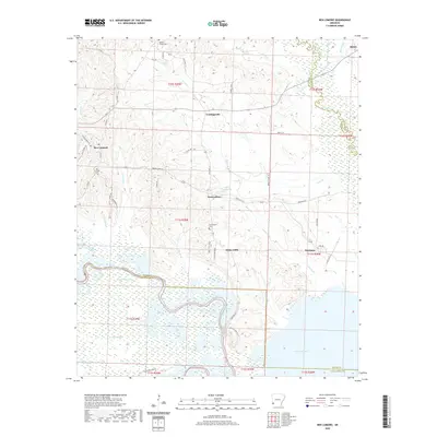 2020 Ben Lomond2020 Print · USGSSevier County communities appear here as the modern landscape meets the winding Saline River. Genealogists and local historians can trace family roots through Ben Lomond Cem and explore the rural layout of White Cliffs and Paraloma near the banks of Millwood Lake.
 - 2020 Map of Red Bluff, 2020 Print
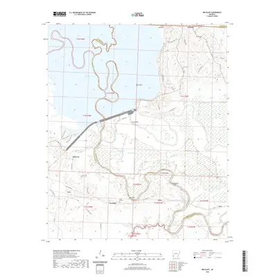 2020 Red Bluff2020 Print · USGSThe Little River bottomlands come to life in this modern survey of the Arkansas borderlands. Genealogists and historians can trace family roots through Saratoga Cem and Hominy Cem, or follow the path of the Old Military Rd past Saratoga and Orton.
 - 2020 Map of Fulton, 2020 Print
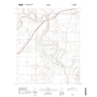 2020 Fulton2020 Print · USGSSouthwest Arkansas river country comes into focus in this recent study of the Hempstead and Miller county line. Researchers can trace historic river crossings and rural landmarks near Fulton, from the old Fulton Cem to the oxbow waters of Old River Lake and Bushy Lake.
 - 2020 Map of Ashdown East, 2020 Print
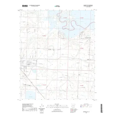 2020 Ashdown East2020 Print · USGSLittle River County at the start of the 2020s shows a landscape defined by the Arkansas riverlands and the growth of its county seat. Researchers can find old family burial sites at Peytonville Cem and trace the rural settlements of Fomby and Yarborough Landing.
 - 2020 Map of Winthrop, 2020 Print
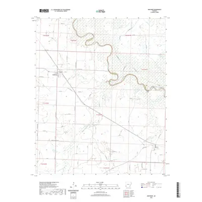 2020 Winthrop2020 Print · USGSModern Little River County is mapped here, showing the intricate bends of the river boundary between Winthrop and Alleene. Researchers can trace family sites at Alleene Cem or explore the landscape around Cotton Woods Shoals and Boggy Slough.
 - 2022 Map of Redbank, 2022 Print
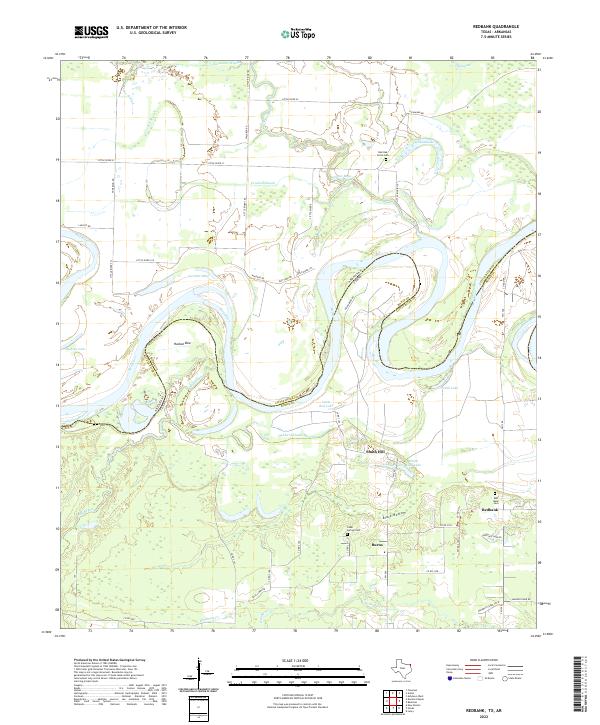 2022 Redbank2022 Print · USGSThe Red River valley at the Texas-Arkansas border remains a landscape of oxbows and bottomlands in this recent survey. Genealogists and local historians can locate community sites like Redbank and Burns, alongside family-named landmarks such as Red Bank Cem and Smith Hill.
 - 2022 Map of Daniels Chapel, 2022 Print
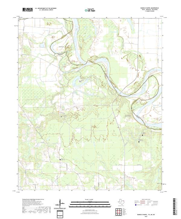 2022 Daniels Chapel2022 Print · USGSThe Red River borderland comes into focus in this contemporary survey of the Texas and Arkansas line. Genealogists and local historians can locate several family and community landmarks, including Woodstock Cem, Spanish Bluff, and Daniels Chapel Cem.
 - 2022 Map of Barkman, 2022 Print
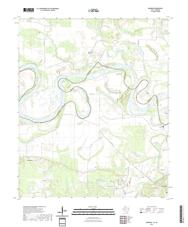 2022 Barkman2022 Print · USGSThe Texas-Arkansas border along the Red River comes alive in the early 2020s, showing a landscape of shifting oxbows and rural settlements. Trace family roots at Saint Lukes Cem or explore the historical route of Trammel's Trce near Wamba.
 - 2024 Map of Homan, 2024 Print
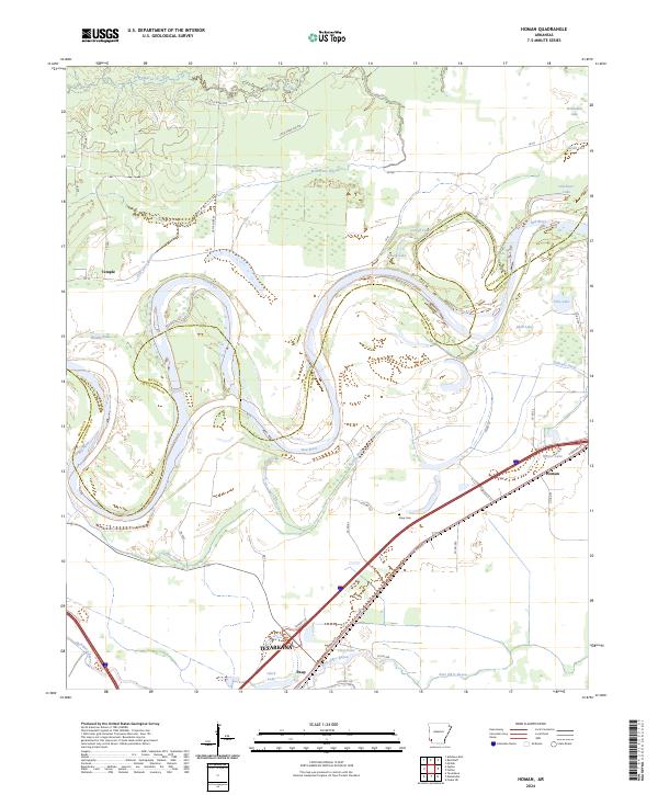 2024 Homan2024 Print · USGSThe river bottomlands of Miller County are captured here in the contemporary era, showing a landscape shaped by the Red River. Genealogists and local historians can trace family-named sites like Paup Cem and the settlements of Homan and Temple.
 - 2024 Map of McNab, 2024 Print
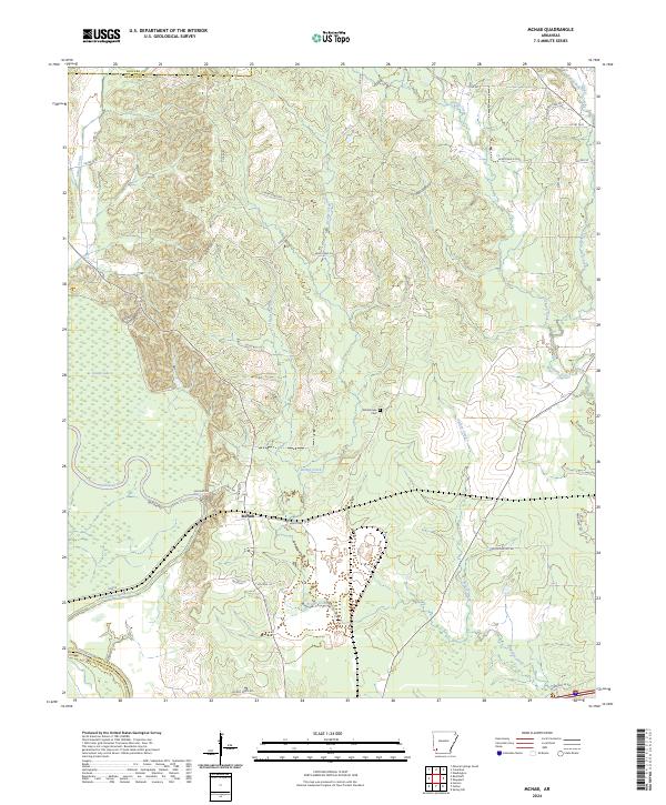 2024 McNab2024 Print · USGSThe community of McNab and its surrounding river bottoms are documented in this contemporary survey of Hempstead County. Researchers can trace local landmarks like the Whitehouse Cem or follow the paths of Allen's Ferry Rd and Yellow Creek.
 - 2024 Map of Mineral Springs South, 2024 Print
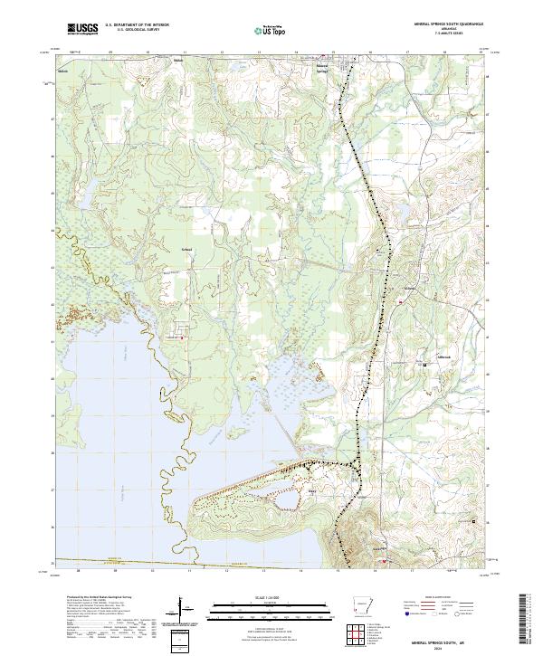 2024 Mineral Springs South2024 Print · USGSHoward County's riverfront and rural settlements are captured here in the contemporary era. Researchers can locate family landmarks like Shirley Cem, trace the course of the Saline River, and explore the layout of Tollette and Saratoga.
 - 2024 Map of Winthrop, 2024 Print
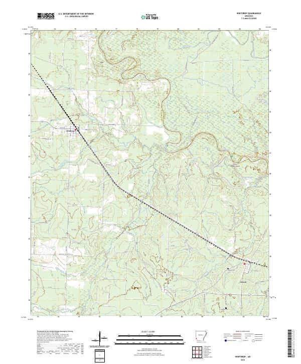 2024 Winthrop2024 Print · USGSThe Little River bottomlands come to life in this contemporary survey of southwest Arkansas. Genealogists and local historians can trace the roads connecting Winthrop and Alleene to sites like Alleene Cem, Freeman Cem, and Woods Shoals.
 - 2024 Map of Ashdown West, 2024 Print
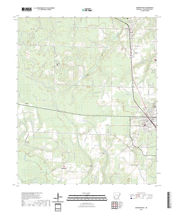 2024 Ashdown West2024 Print · USGSLittle River County comes into focus in this contemporary survey of its county seat and surrounding rural townships. Genealogists can trace family sites at Richmond Cem, Wilton Cem, and the courthouse in Ashdown, while pilots will find Garrison Airport and Sandy Ridge Farms Airport.
 - 2024 Map of Ogden, 2024 Print
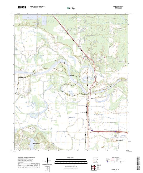 2024 Ogden2024 Print · USGSThe Arkansas-Texas borderlands along the Red River are shown here at a moment of modern growth and industrial presence. Genealogists and historians can trace the river's changing course near Ogden, locate the Armstrong Cemetery, or explore the northern fringes of Texarkana.
Showing maps 1-25 of 35
Top cities of Little River County
- Ashdown historical maps
- Foreman historical maps
- Wilton historical maps
- Ogden historical maps
- Winthrop historical maps
Frequently asked questions
- What are the different types of historical maps available for Little River County?
- What is the oldest map of Little River County?
- Where can I purchase historical maps of Little River County for my home or office?
- Where can I download high-res historical maps of Little River County?
- Are there historical topographic maps available for Little River County?
- Is there historical aerial imagery available for Little River County?
- Where are historical maps of Little River County sourced from?