2010s Maps of Little River County, Arkansas
Explore 60 historic maps of Little River County from the 2010s. These maps offer a rare glimpse into what life looked like during the 2010s — showing old roads, neighborhoods, homes, and landmarks that have changed or disappeared over time.
Whether you're researching your family's past, planning a metal detecting trip, or studying how Little River County's landscape evolved across the 2010s, these high-resolution maps are a powerful tool for exploring the history of this region.
- Focus on a specific era: All maps on this page are from the 2010s, giving you a focused view of this time period.
- See what’s changed: Compare century-old streets, trails, and buildings to today's modern landscape using overlays and satellite layers.
- Research with precision: Use these maps for genealogy, historical research, land use analysis, or educational projects.
- View, download, or print: Maps are fully viewable online in high resolution, and can be downloaded or printed for your own records.
Start exploring Little River County's history through authentic maps from the 2010s. This is your window into the past.
Little River County, AR maps
(60)- 2011 Map of Fulton, 2011 Print
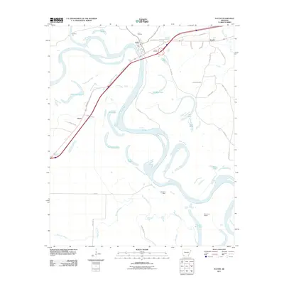 2011 Fulton2011 Print · USGSHempstead County at the start of the 2010s reveals a river-driven landscape where the shifting Red River has left a legacy of oxbow lakes and historic crossings. Genealogists and local historians can locate Fulton Cemetery, trace the old route of Old 67 Hwy, and identify landmarks like Old Allens Ferry.
 - 2011 Map of Barkman, 2011 Print
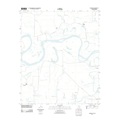 2011 Barkman2011 Print · USGSThe Red River floodplain comes into focus in the early twenty-first century, showing the intricate oxbow lakes and rural settlements along the Texas-Arkansas border. Researchers can locate family landmarks like Saint Lukes Cemetery and old communities such as Barkman and Pine Prairie.
 - 2011 Map of Foreman, 2011 Print
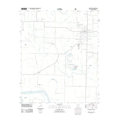 2011 Foreman2011 Print · USGSLittle River County at the turn of the decade shows a landscape defined by the winding Red River and the rural hub of Foreman. Genealogists and local historians can trace legacy sites like Rocky Comfort, Matteson Gin, and the Sand Hill Cemetery.
 - 2011 Map of Cerrogordo, 2011 Print
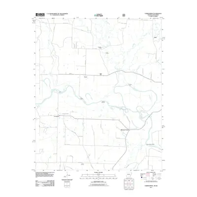 2011 Cerrogordo2011 Print · USGSThe Arkansas-Oklahoma borderlands in the early twenty-first century are defined by the winding Little River and small riverfront communities. Researchers can trace family sites at Cerrogordo Cemetery or locate historic river crossings like Gin House Ford and Sorghum Patch Ford.
 - 2011 Map of Arkinda, 2011 Print
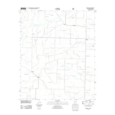 2011 Arkinda2011 Print · USGSThe borderlands of Little River County come into focus in the early 2000s, showing a landscape of timbered stretches and rural settlements. Genealogists can trace family sites at Piney Cemetery, Eastport, and Strawn Cemetery.
 - 2011 Map of McNab, 2011 Print
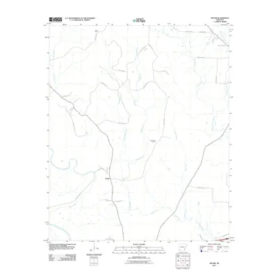 2011 McNab2011 Print · USGSSouthwest Arkansas at the start of the 2010s is defined by its deep creek bottomlands and rural crossroads. Genealogists and local historians can trace the vicinity of McNab and Camp Spring, or locate family sites near Whitehouse Cemetery and Yellow Creek.
 - 2011 Map of Ogden, 2011 Print
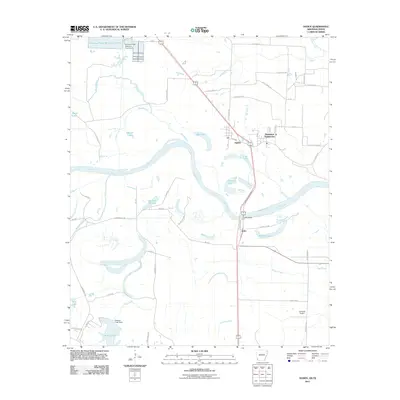 2011 Ogden2011 Print · USGSThe Red River floodplain along the Arkansas-Texas border comes to life in this early twenty-first-century survey. Genealogists and local historians can trace the roads around Ogden, locate the Flying W Airport, or study the river crossings at Index Bridge.
 - 2011 Map of Mineral Springs South, 2011 Print
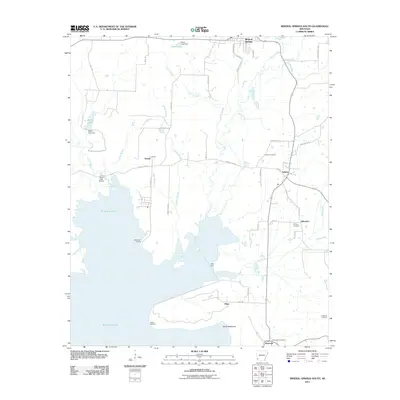 2011 Mineral Springs South2011 Print · USGSHoward County and the northern reaches of Millwood Lake are documented here in the early twenty-first century. Researchers can locate family landmarks such as Shirley Cemetery, the Saratoga Post Office, and historic landings like Saline Landing.
 - 2011 Map of Winthrop, 2011 Print
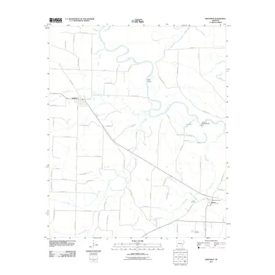 2011 Winthrop2011 Print · USGSLittle River County at the start of the decade reveals a landscape defined by the winding Little River and its rural settlements. Genealogists and local historians can trace family roots through the Alleene Cemetery or locate the Alleene Post Office and Yellow Banks Landing.
 - 2011 Map of Ashdown West, 2011 Print
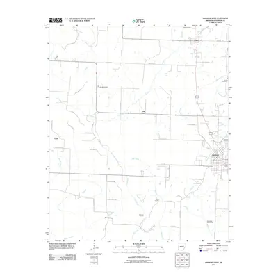 2011 Ashdown West2011 Print · USGSLittle River County at the start of the 2010s reveals a landscape of established towns and scattered family burial grounds. Researchers can trace the layout of Ashdown or locate rural sites like Richmond Cemetery, Oak Hill, and Wilton.
 - 2011 Map of Horatio, 2011 Print
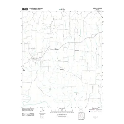 2011 Horatio2011 Print · USGSSevier County at the start of the 2010s reveals a deeply rooted landscape of small communities and family-named cemeteries. Genealogists and historians can trace old homesteads near Norwoodville, Williamson, and the Boggy Springs Cemetery.
 - 2011 Map of Arden, 2011 Print
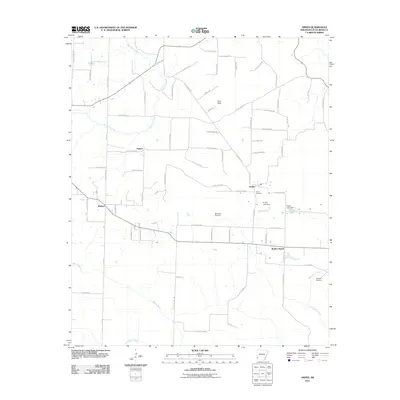 2011 Arden2011 Print · USGSLittle River County in the early 21st century shows a landscape of rural communities and intricate waterways. Genealogists and researchers can trace family roots through the Arden Cemetery and Bradshaw Cemetery or locate the site of Wades Chapel.
 - 2011 Map of Falls Chapel, 2011 Print
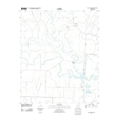 2011 Falls Chapel2011 Print · USGSThe confluence of the Cossatot and Little Rivers in Sevier County comes into focus in the early twenty-first century. Genealogists and local historians can trace family locations at Falls Chapel, Hopson Cemetery, and the river crossing at Millers Crossing.
 - 2011 Map of Daniels Chapel, 2011 Print
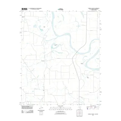 2011 Daniels Chapel2011 Print · USGSThe Texas-Arkansas borderlands are captured here in the early twenty-first century, showing the winding Red River and its shifting islands. Genealogists and local historians can trace the rural communities of Woodstock and Daniels Chapel or locate the Spring Branch Cemetery.
 - 2011 Map of Redbank, 2011 Print
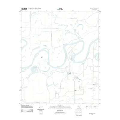 2011 Redbank2011 Print · USGSThe Red River borderlands of Texas and Arkansas are captured here in the early 21st century, showing a landscape defined by shifting watercourses. Researchers can trace local landmarks like Hughes Cemetery, the small community of Redbank, and the distinct oxbow of Hudson Bow.
 - 2011 Map of Homan, 2011 Print
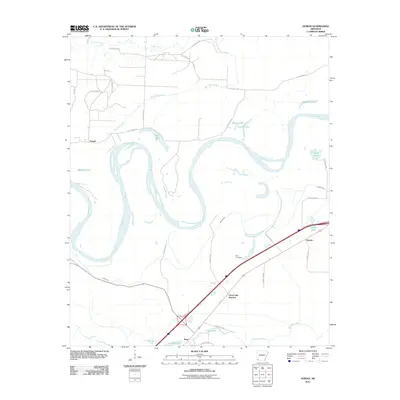 2011 Homan2011 Print · USGSThe Red River floodplain in Miller County is captured here in the early twenty-first century, showing a landscape defined by oxbow lakes and rural settlements. Genealogists and researchers can locate Paup Cemetery and trace early connections at Paup, Temple, and Homan.
 - 2011 Map of Ashdown East, 2011 Print
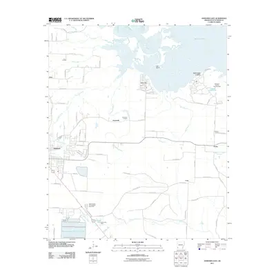 2011 Ashdown East2011 Print · USGSThe Little River valley in Southwest Arkansas is captured here in the early twenty-first century as Millwood Lake defines the northern landscape. Local researchers can pinpoint family sites at Cook Cemetery or trace the early settlement footprints of Peytonville and Fomby.
 - 2011 Map of Ben Lomond, 2011 Print
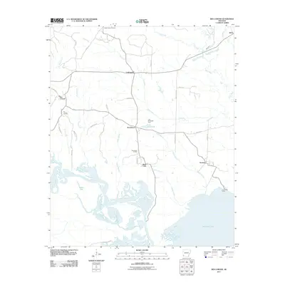 2011 Ben Lomond2011 Print · USGSSevier County's river-bottom lands and the northern expanse of Millwood Lake are captured here at the start of the 2010s. Researchers can trace rural lineages through Wrights Chapel Cemetery or locate old community hubs like White Cliffs and Paraloma.
 - 2011 Map of Red Bluff, 2011 Print
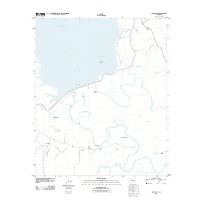 2011 Red Bluff2011 Print · USGSLittle River County at the start of the 2010s shows a landscape defined by the massive Millwood Lake and the bottomlands of the Little River. Genealogists and local historians can locate early burial sites like Saratoga Cemetery and Spring Hill Cemetery or trace old river crossings near Ward Ferry.
 - 2013 Map of Daniels Chapel, 2013 Print
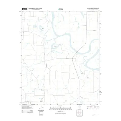 2013 Daniels Chapel2013 Print · USGSBowie County at the start of the 2010s reveals a landscape deeply intertwined with the Red River and its shifting channels. Genealogists and local historians can trace family locations near Daniels Chapel, Spring Branch Cem, and the riverfront at Spanish Bluff.
 - 2013 Map of Redbank, 2013 Print
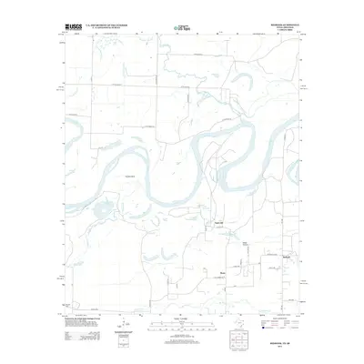 2013 Redbank2013 Print · USGSThe Red River floodplain along the Texas-Arkansas border is revealed here in the early twenty-first century as a labyrinth of oxbows and rural settlements. Genealogists and local historians can trace family locations near Smith Hill, Redbank, and Hughes Cem amidst the winding Walnut Bayou.
 - 2013 Map of Barkman, 2013 Print
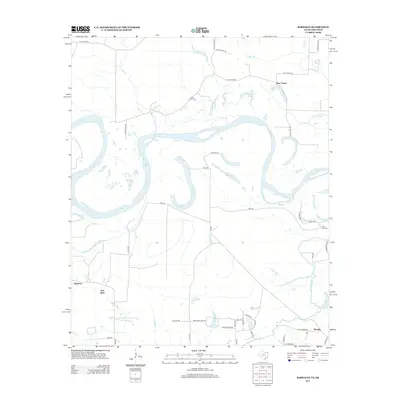 2013 Barkman2013 Print · USGSThe Red River bottoms at the Arkansas-Texas border come alive in this recent survey of the rural South. Trace family ties and local geography through landmarks like Saint Lukes Cemetery, Roseborough Lake, and the community of Barkman.
 - 2014 Map of Winthrop, 2014 Print
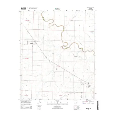 2014 Winthrop2014 Print · USGSLittle River County in the 2010s is characterized by its winding river boundary and the established communities of Winthrop and Alleene. Researchers can trace local history through sites like Alleene Cem, Cotton Woods Shoals, and the crossing at Hawkins Ford.
 - 2014 Map of Arden, 2014 Print
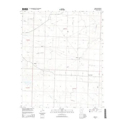 2014 Arden2014 Print · USGSLittle River County in the mid-2010s remains a landscape of quiet agricultural settlements and family landmarks. Researchers can trace local roots through numerous sites like Arden Cem, Bradshaw Cem, and the small community of Wades Chapel.
 - 2014 Map of Ogden, 2014 Print
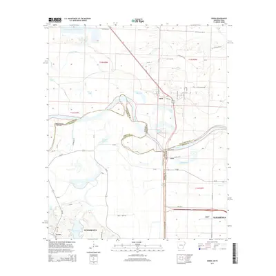 2014 Ogden2014 Print · USGSThe Arkansas-Texas borderlands come into focus in this early twenty-first-century survey of the Red River valley. Genealogists and local historians can trace the rural communities of Ogden and Index, or locate family landmarks near Summer Hill Lake and Wamba.
Showing maps 1-25 of 60
Top cities of Little River County
- Ashdown historical maps
- Foreman historical maps
- Wilton historical maps
- Ogden historical maps
- Winthrop historical maps
Frequently asked questions
- What are the different types of historical maps available for Little River County?
- What is the oldest map of Little River County?
- Where can I purchase historical maps of Little River County for my home or office?
- Where can I download high-res historical maps of Little River County?
- Are there historical topographic maps available for Little River County?
- Is there historical aerial imagery available for Little River County?
- Where are historical maps of Little River County sourced from?