2000s (21st Century) Maps of Little River County, Arkansas
Explore 86 historic maps of Little River County from the 2000s (21st Century). These maps offer a rare glimpse into what life looked like during the 2000s — showing old roads, neighborhoods, homes, and landmarks that have changed or disappeared over time.
Whether you're researching your family's past, planning a metal detecting trip, or studying how Little River County's landscape evolved across the 2000s, these high-resolution maps are a powerful tool for exploring the history of this region.
- Focus on a specific era: All maps on this page are from the 2000s, giving you a focused view of this time period.
- See what’s changed: Compare century-old streets, trails, and buildings to today's modern landscape using overlays and satellite layers.
- Research with precision: Use these maps for genealogy, historical research, land use analysis, or educational projects.
- View, download, or print: Maps are fully viewable online in high resolution, and can be downloaded or printed for your own records.
Start exploring Little River County's history through authentic maps from the 2000s. This is your window into the past.
Little River County, AR maps
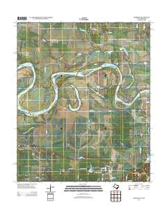
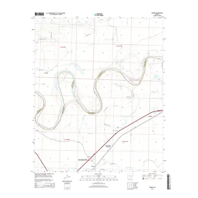
(86)- 2011 Map of Fulton, 2011 Print
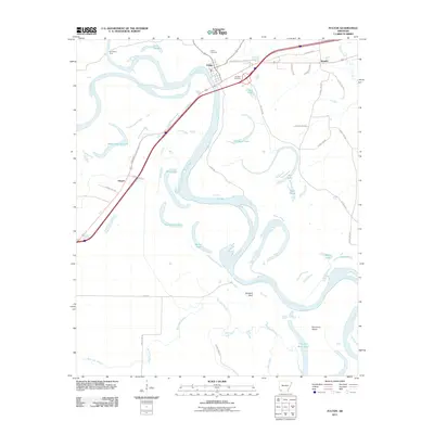 2011 Fulton2011 Print · USGSCovers Little River County, including Fulton, Sprudel, and other nearby areas
 - 2011 Map of Foreman, 2011 Print
 2011 Foreman2011 Print · USGSCovers Little River County, including Foreman, Rocky Comfort, and other nearby areas
 - 2011 Map of Cerrogordo, 2011 Print
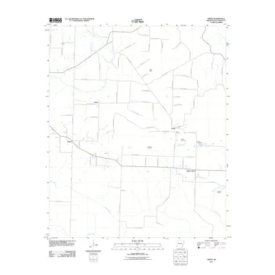
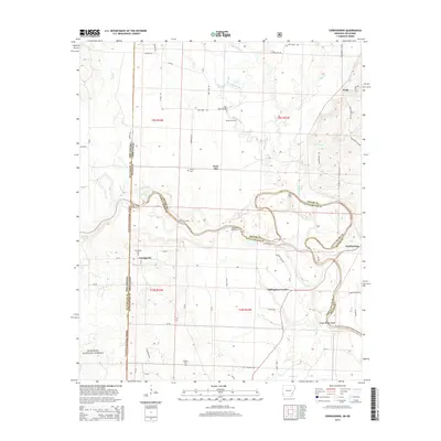
 2011 Cerrogordo2011 Print · USGSCovers Little River County, including Dogtown, Billingsleys Corner, and other nearby areas
 - 2011 Map of Arkinda, 2011 Print
 2011 Arkinda2011 Print · USGSCovers Little River County, including Arkinda, Cross Roads, and other nearby areas
 - 2011 Map of McNab, 2011 Print
 2011 McNab2011 Print · USGSCovers Little River County, including McNab, Hempstead County, and other nearby areas
 - 2011 Map of Ogden, 2011 Print
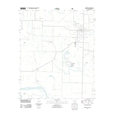
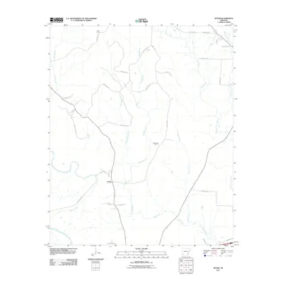
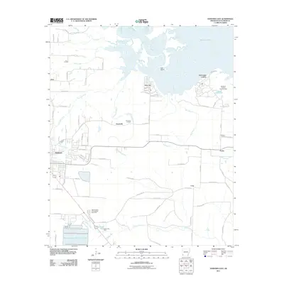
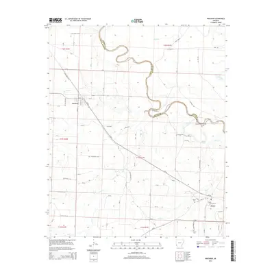
 2011 Ogden2011 Print · USGSCovers Little River County, including Texarkana, Texarkana, and other nearby areas
 - 2011 Map of Mineral Springs South, 2011 Print
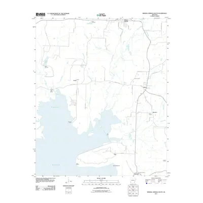 2011 Mineral Springs South2011 Print · USGSCovers Little River County, including Mineral Springs, Tollette, and other nearby areas
 - 2011 Map of Winthrop, 2011 Print
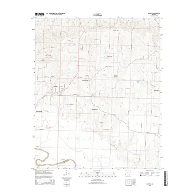
 2011 Winthrop2011 Print · USGSCovers Little River County, including Winthrop, Alleene, and other nearby areas
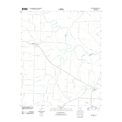
 - 2011 Map of Ashdown West, 2011 Print
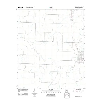 2011 Ashdown West2011 Print · USGSCovers Little River County, including Ashdown, Wilton, and other nearby areas
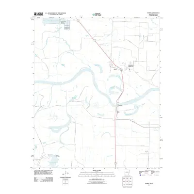
 - 2011 Map of Horatio, 2011 Print
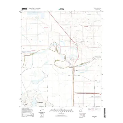
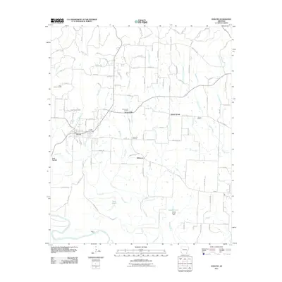 2011 Horatio2011 Print · USGSCovers Little River County, including Horatio, Neal Springs, and other nearby areas
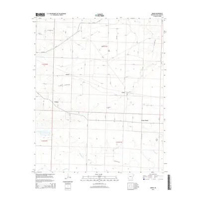
 - 2011 Map of Arden, 2011 Print
 2011 Arden2011 Print · USGSCovers Little River County, including Wallace, Wades Chapel, and other nearby areas
 - 2011 Map of Falls Chapel, 2011 Print
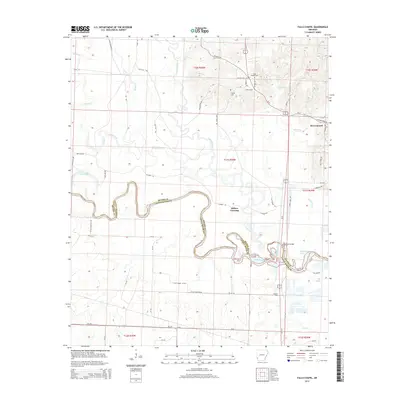
 2011 Falls Chapel2011 Print · USGSCovers Little River County, including Ben Lomond, Millers Crossing, and other nearby areas
 - 2011 Map of Homan, 2011 Print
 2011 Homan2011 Print · USGSCovers Little River County, including Texarkana, Paup, and other nearby areas
 - 2011 Map of Ashdown East, 2011 Print
 2011 Ashdown East2011 Print · USGSCovers Little River County, including Ashdown, Peytonville, and other nearby areas
 - 2011 Map of Ben Lomond, 2011 Print
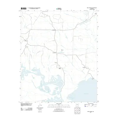 2011 Ben Lomond2011 Print · USGSCovers Little River County, including Ben Lomond, Shiloh, and other nearby areas
 - 2011 Map of Red Bluff, 2011 Print
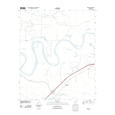
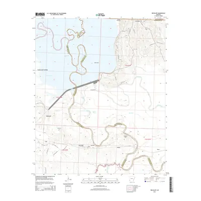
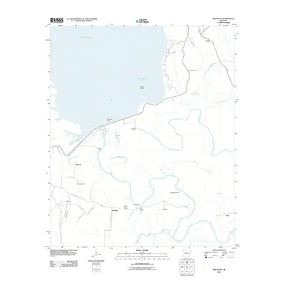 2011 Red Bluff2011 Print · USGSCovers Little River County, including Orton, Millwood, and other nearby areas
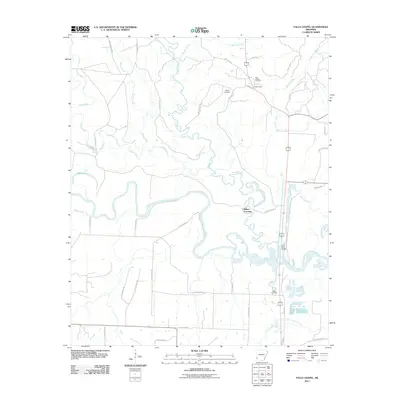
 - 2013 Map of Barkman, 2013 Print
 2013 Barkman2013 Print · USGSCovers Little River County, including Pine Prairie, Red Bank, and other nearby areas
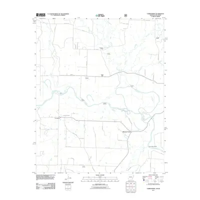
 - 2014 Map of Winthrop, 2014 Print
 2014 Winthrop2014 Print · USGSCovers Little River County, including Winthrop, Alleene, and other nearby areas
 - 2014 Map of Arden, 2014 Print
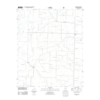
 2014 Arden2014 Print · USGSCovers Little River County, including Wallace, Wades Chapel, and other nearby areas
 - 2014 Map of Ogden, 2014 Print
 2014 Ogden2014 Print · USGSCovers Little River County, including Texarkana, Texarkana, and other nearby areas
 - 2014 Map of Horatio, 2014 Print
 2014 Horatio2014 Print · USGSCovers Little River County, including Horatio, Neal Springs, and other nearby areas
 - 2014 Map of Cerrogordo, 2014 Print
 2014 Cerrogordo2014 Print · USGSCovers Little River County, including Dogtown, Billingsleys Corner, and other nearby areas
 - 2014 Map of Falls Chapel, 2014 Print
 2014 Falls Chapel2014 Print · USGSCovers Little River County, including Ben Lomond, Millers Crossing, and other nearby areas
 - 2014 Map of Red Bluff, 2014 Print
 2014 Red Bluff2014 Print · USGSCovers Little River County, including Orton, Millwood, and other nearby areas
 - 2014 Map of Homan, 2014 Print
 2014 Homan2014 Print · USGSCovers Little River County, including Texarkana, Paup, and other nearby areas
Showing maps 1-25 of 86
Top cities of Little River County
- Ashdown historical maps
- Foreman historical maps
- Wilton historical maps
- Ogden historical maps
- Winthrop historical maps
Frequently asked questions
- What are the different types of historical maps available for Little River County?
- What is the oldest map of Little River County?
- Where can I purchase historical maps of Little River County for my home or office?
- Where can I download high-res historical maps of Little River County?
- Are there historical topographic maps available for Little River County?
- Is there historical aerial imagery available for Little River County?
- Where are historical maps of Little River County sourced from?