2000s (21st Century) Maps of Lonoke County, Arkansas
Explore 23 historic maps of Lonoke County from the 2000s (21st Century). These maps offer a rare glimpse into what life looked like during the 2000s — showing old roads, neighborhoods, homes, and landmarks that have changed or disappeared over time.
Whether you're researching your family's past, planning a metal detecting trip, or studying how Lonoke County's landscape evolved across the 2000s, these high-resolution maps are a powerful tool for exploring the history of this region.
- Focus on a specific era: All maps on this page are from the 2000s, giving you a focused view of this time period.
- See what’s changed: Compare century-old streets, trails, and buildings to today's modern landscape using overlays and satellite layers.
- Research with precision: Use these maps for genealogy, historical research, land use analysis, or educational projects.
- View, download, or print: Maps are fully viewable online in high resolution, and can be downloaded or printed for your own records.
Start exploring Lonoke County's history through authentic maps from the 2000s. This is your window into the past.
Lonoke County, AR maps
(23)- 2024 Map of Gethsemane, 2024 Print
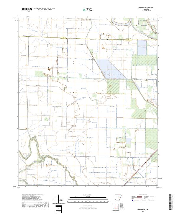 2024 Gethsemane2024 Print · USGSCovers Lonoke County, including Gethsemane, Jefferson County, and other nearby areas
 - 2024 Map of Wattensaw, 2024 Print
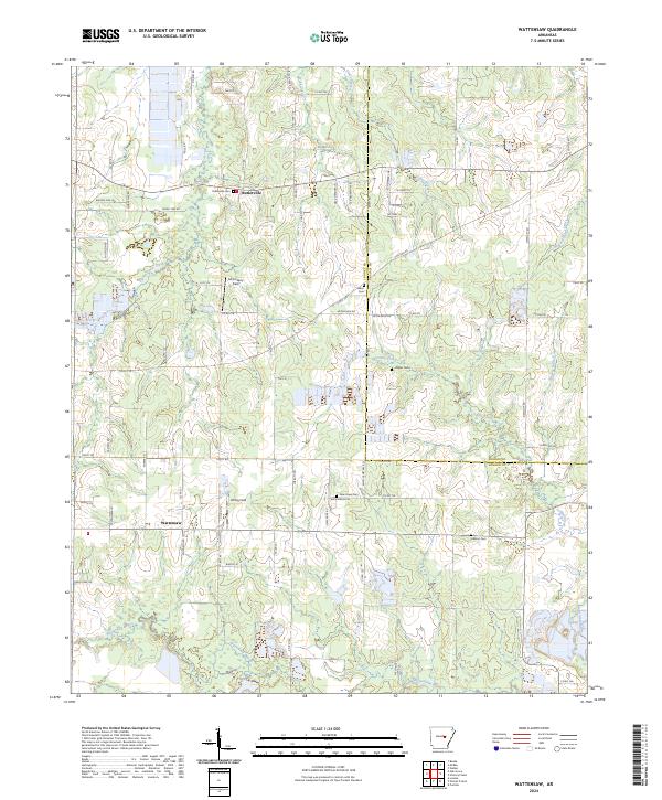 2024 Wattensaw2024 Print · USGSCovers Lonoke County, including Thurman, Woodlawn, and other nearby areas
 - 2024 Map of Pocket Prairie, 2024 Print
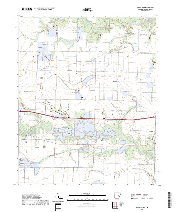 2024 Pocket Prairie2024 Print · USGSCovers Lonoke County, including Carlisle, McCreanor, and other nearby areas
 - 2024 Map of Culler, 2024 Print
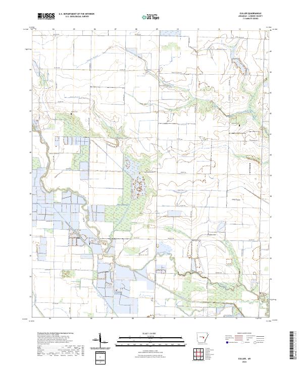 2024 Culler2024 Print · USGSCovers Lonoke County, including Bayou Meto, Culler, and other nearby areas
 - 2024 Map of Sherrill, 2024 Print
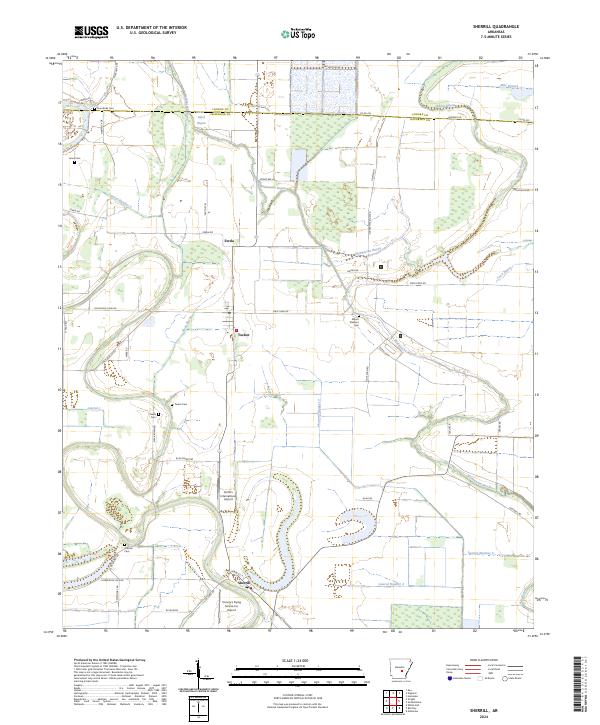 2024 Sherrill2024 Print · USGSCovers Lonoke County, including Sherrill, Ferda, and other nearby areas
 - 2024 Map of Pettus, 2024 Print
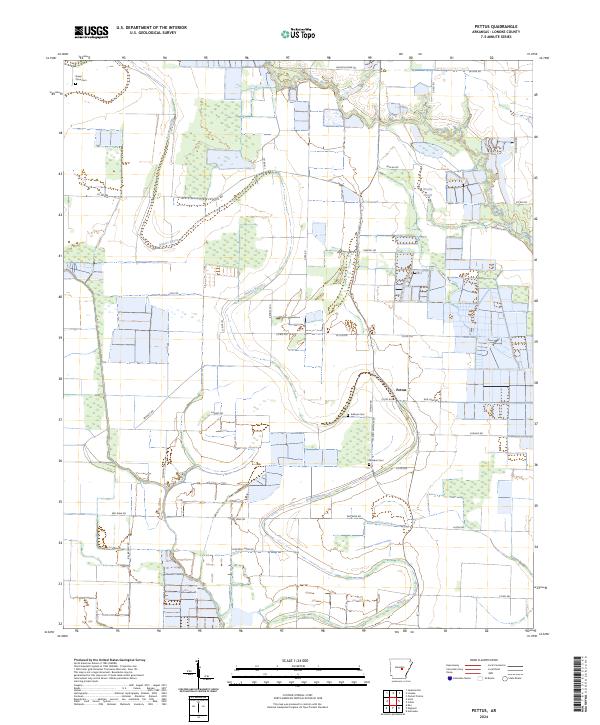 2024 Pettus2024 Print · USGSCovers Lonoke County, including Pettus, United States, and other nearby areas
 - 2024 Map of Oak Grove, 2024 Print
 2024 Oak Grove2024 Print · USGSCovers Lonoke County, including Cabot, Ward, and other nearby areas
 - 2024 Map of Hickory Plains, 2024 Print
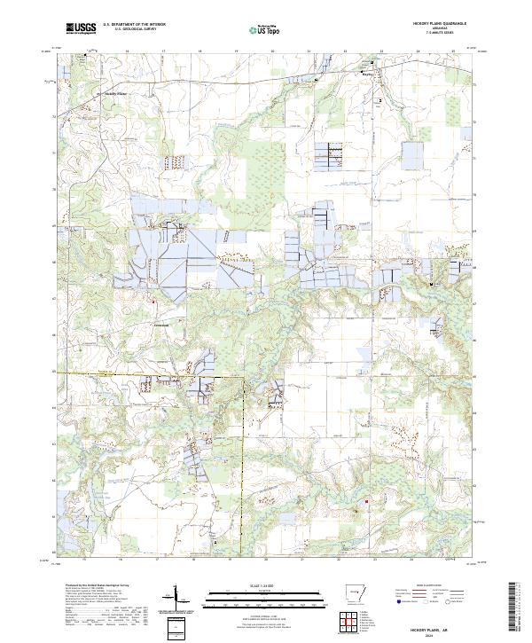 2024 Hickory Plains2024 Print · USGSCovers Lonoke County, including Crossroad, Hayley, and other nearby areas
 - 2024 Map of England, 2024 Print
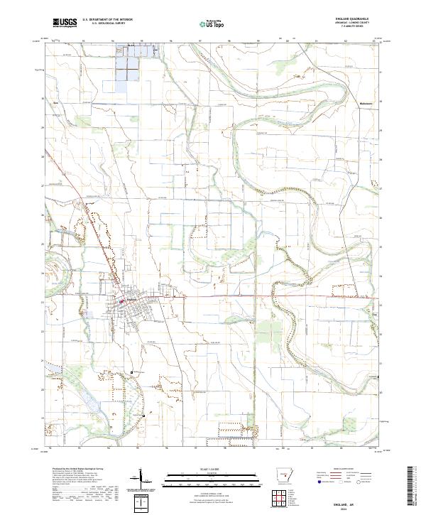 2024 England2024 Print · USGSCovers Lonoke County, including England, Keo, and other nearby areas
 - 2024 Map of Parkers Corner, 2024 Print
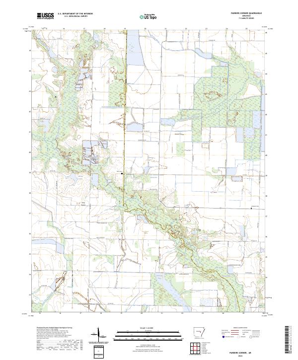 2024 Parkers Corner2024 Print · USGSCovers Lonoke County, including Parkers Corner, Prairie County, and other nearby areas
 - 2024 Map of Humnoke, 2024 Print
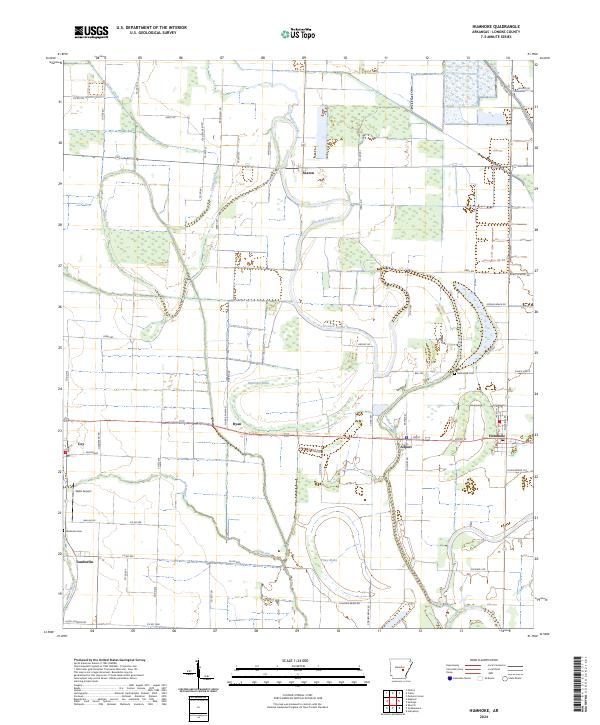 2024 Humnoke2024 Print · USGSCovers Lonoke County, including Humnoke, Allport, and other nearby areas
 - 2024 Map of Humphrey, 2024 Print
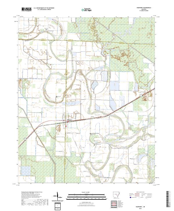 2024 Humphrey2024 Print · USGSCovers Lonoke County, including Humphrey, Jefferson County, and other nearby areas
 - 2024 Map of Beebe, 2024 Print
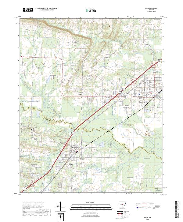 2024 Beebe2024 Print · USGSCovers Lonoke County, including Beebe, Ward, and other nearby areas
 - 2024 Map of Geridge, 2024 Print
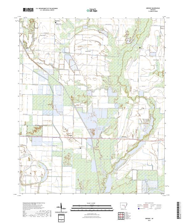 2024 Geridge2024 Print · USGSCovers Lonoke County, including Hamilton, Brummitt, and other nearby areas
 - 2024 Map of McRae, 2024 Print
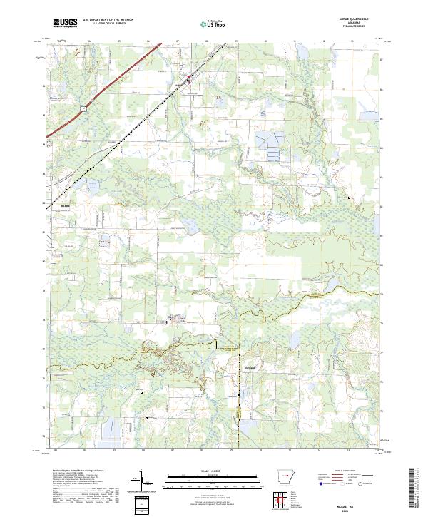 2024 McRae2024 Print · USGSCovers Lonoke County, including Beebe, McRae, and other nearby areas
 - 2024 Map of Wright, 2024 Print
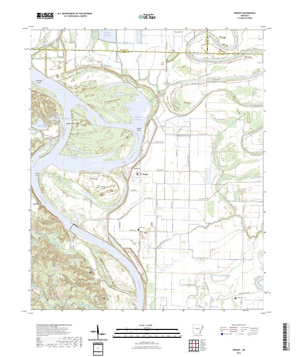 2024 Wright2024 Print · USGSCovers Lonoke County, including Wright, Pulaski County, and other nearby areas
 - 2024 Map of Jacksonville, 2024 Print
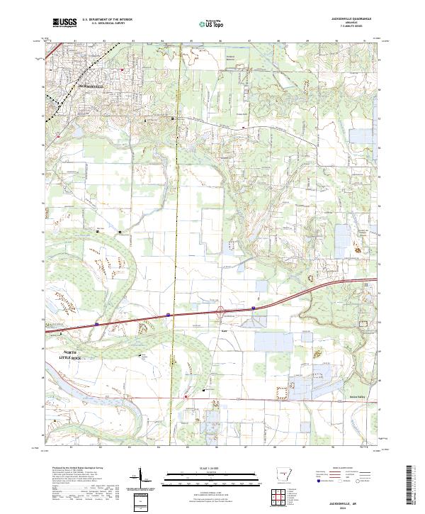 2024 Jacksonville2024 Print · USGSCovers Lonoke County, including North Little Rock, Jacksonville, and other nearby areas
 - 2024 Map of Scott, 2024 Print
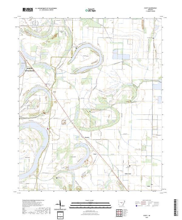 2024 Scott2024 Print · USGSCovers Lonoke County, including North Little Rock, Keo, and other nearby areas
 - 2024 Map of Cabot, 2024 Print
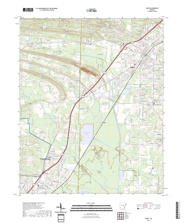 2024 Cabot2024 Print · USGSCovers Lonoke County, including Jacksonville, Cabot, and other nearby areas
 - 2024 Map of Keo, 2024 Print
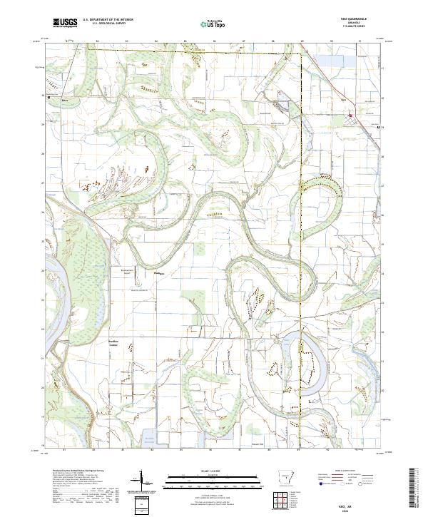 2024 Keo2024 Print · USGSCovers Lonoke County, including Keo, Wampoo, and other nearby areas
 - 2024 Map of Carlisle, 2024 Print
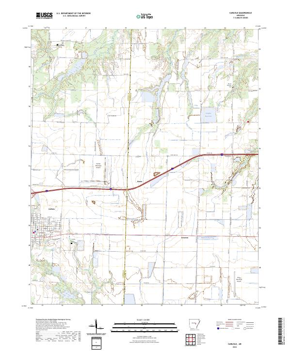 2024 Carlisle2024 Print · USGSCovers Lonoke County, including Carlisle, Hazen, and other nearby areas
 - 2024 Map of Lonoke, 2024 Print
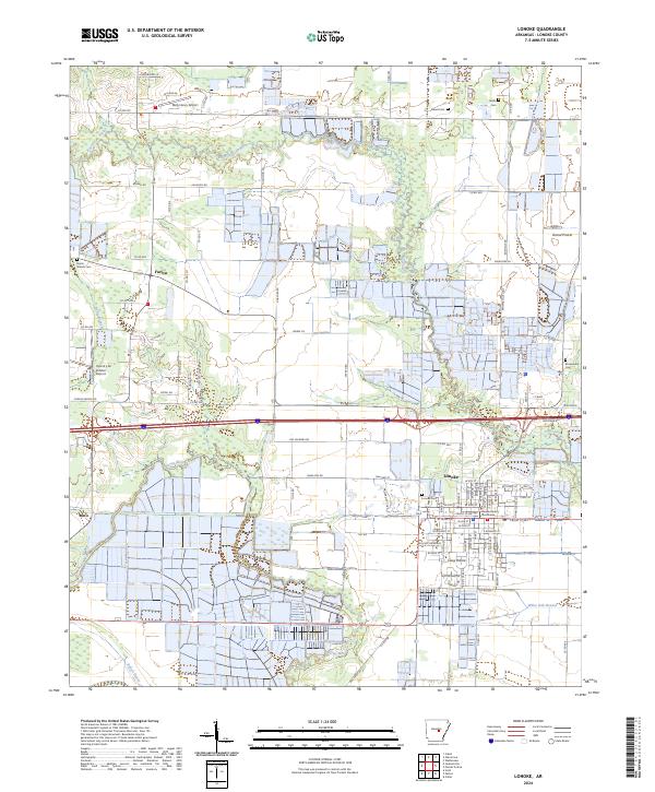 2024 Lonoke2024 Print · USGSCovers Lonoke County, including Lonoke, Brownsville, and other nearby areas
 - 2024 Map of Mountain Springs, 2024 Print
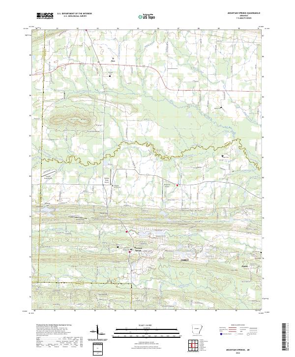 2024 Mountain Springs2024 Print · USGSCovers Lonoke County, including Cabot, Austin, and other nearby areas
End of results
Showing maps 1-23 of 23
Top cities of Lonoke County
- Cabot historical maps
- Lonoke historical maps
- Ward historical maps
- England historical maps
- Carlisle historical maps
- Austin historical maps
See more
Frequently asked questions
- What are the different types of historical maps available for Lonoke County?
- What is the oldest map of Lonoke County?
- Where can I purchase historical maps of Lonoke County for my home or office?
- Where can I download high-res historical maps of Lonoke County?
- Are there historical topographic maps available for Lonoke County?
- Is there historical aerial imagery available for Lonoke County?
- Where are historical maps of Lonoke County sourced from?