2020s Maps of Lonoke County, Arkansas
Explore 46 historic maps of Lonoke County from the 2020s. These maps offer a rare glimpse into what life looked like during the 2020s — showing old roads, neighborhoods, homes, and landmarks that have changed or disappeared over time.
Whether you're researching your family's past, planning a metal detecting trip, or studying how Lonoke County's landscape evolved across the 2020s, these high-resolution maps are a powerful tool for exploring the history of this region.
- Focus on a specific era: All maps on this page are from the 2020s, giving you a focused view of this time period.
- See what’s changed: Compare century-old streets, trails, and buildings to today's modern landscape using overlays and satellite layers.
- Research with precision: Use these maps for genealogy, historical research, land use analysis, or educational projects.
- View, download, or print: Maps are fully viewable online in high resolution, and can be downloaded or printed for your own records.
Start exploring Lonoke County's history through authentic maps from the 2020s. This is your window into the past.
Lonoke County, AR maps
(46)- 2020 Map of Oak Grove, 2020 Print
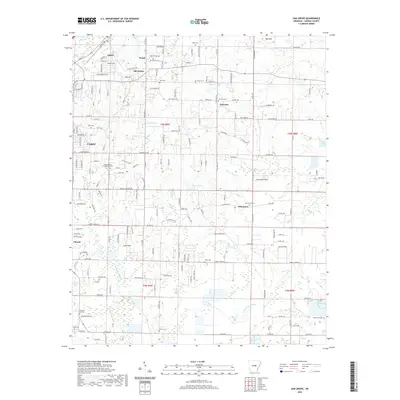 2020 Oak Grove2020 Print · USGSLonoke County at the start of the 2020s shows the meeting point of residential growth and quiet creek valleys. Genealogists can trace family roots through numerous sites like Camp Nelson Confederate Cem, Old Austin, and Sylvania.
 - 2020 Map of Gethsemane, 2020 Print
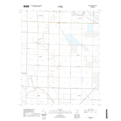 2020 Gethsemane2020 Print · USGSJefferson and Lonoke counties are documented in this recent survey of the Arkansas Delta. Researchers can trace rural property lines and watercourses such as Wabbaseka Bayou, Indian Woman Bayou, and the community of Gethsemane.
 - 2020 Map of Humphrey, 2020 Print
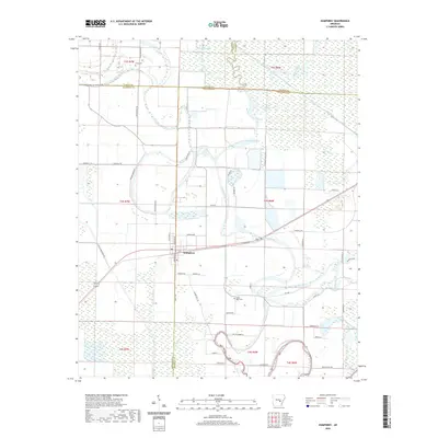 2020 Humphrey2020 Print · USGSThe Delta town of Humphrey and its surrounding wetlands are captured here in the early twenty-first century. Genealogists and local historians can trace rural family sites near Flynn Cem, the waters of Hufford Brake, and the course of Bayou Meto.
 - 2020 Map of Geridge, 2020 Print
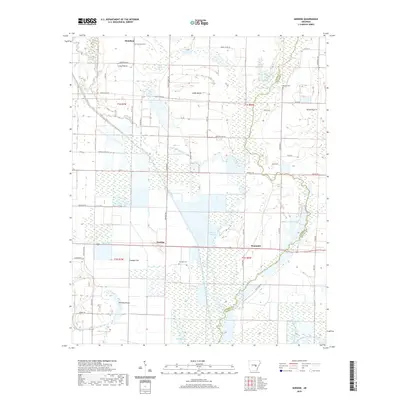 2020 Geridge2020 Print · USGSLonoke and Prairie Counties appear here during a period of modern agricultural management in the Arkansas Delta. Researchers can trace rural lineages through the Hamilton and Geridge cemeteries or follow the winding path of Bayou Meto.
 - 2020 Map of Pocket Prairie, 2020 Print
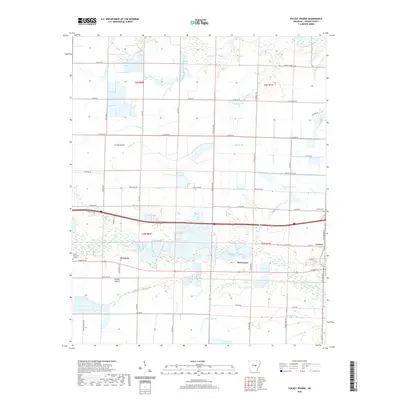 2020 Pocket Prairie2020 Print · USGSLonoke County in the modern era shows a landscape where prairie heritage meets the organized grid of the Arkansas delta. Genealogists and local historians can trace family locations near Carlisle, McCreanor, and the historic grounds of Carlisle Cem.
 - 2020 Map of Hickory Plains, 2020 Print
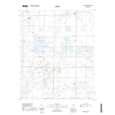 2020 Hickory Plains2020 Print · USGSPrairie and Lonoke counties appear here in the modern era as a patchwork of farm plots and wetlands. Researchers can locate numerous local burial grounds like Walters Chapel Cemetery and Ford Cemetery or trace the winding course of Wattensaw Bayou.
 - 2020 Map of Keo, 2020 Print
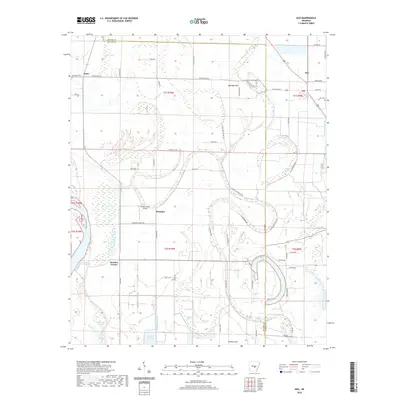 2020 Keo2020 Print · USGSThe agricultural plains of the Arkansas Delta appear here in the early twenty-first century, revealing a landscape defined by oxbow lakes and bayous. Researchers can trace rural lineages through sites like Alexander Cem, the settlement at Keo, and the localized geography of Bredlow Corner.
 - 2020 Map of Lonoke, 2020 Print
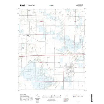 2020 Lonoke2020 Print · USGSLonoke County in the early twenty-first century reveals a landscape where the Grand Prairie meets organized civic life in the town of Lonoke. Genealogists and local researchers can locate several significant burial sites, including Brownsville Cem and Lonoke Cem, alongside the historic Lonoke County Courthouse.
 - 2020 Map of England, 2020 Print
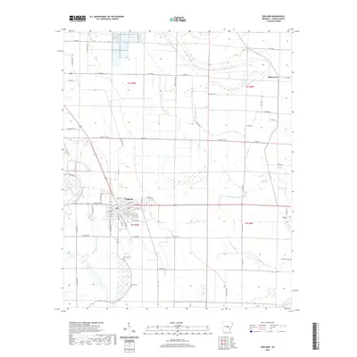 2020 England2020 Print · USGSLonoke County in the modern era maintains its deep agricultural roots centered around the town of England. Genealogists and local historians can trace family land proximity to landmarks like Mulberry Cem, Nelon Brake, and the winding Bakers Bayou.
 - 2020 Map of Wright, 2020 Print
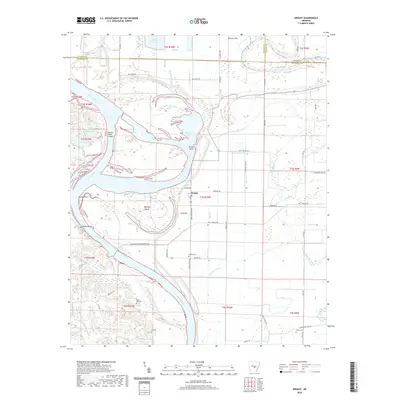 2020 Wright2020 Print · USGSJefferson and Pulaski Counties are shown in this recent survey, capturing the intricate meanders and managed waterways of the Arkansas River. Researchers can trace local heritage through landmarks like Watkins Cem, Hensley Island, and the riverside community of Wright.
 - 2020 Map of Humnoke, 2020 Print
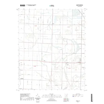 2020 Humnoke2020 Print · USGSLonoke County’s agricultural heartland is documented here in the early twenty-first century, showing the relationship between delta settlements and the surrounding bayous. Genealogists and local historians can trace the sites of Tomberlin Cem, the community of Allport, and the winding path of Salt Bayou.
 - 2020 Map of Culler, 2020 Print
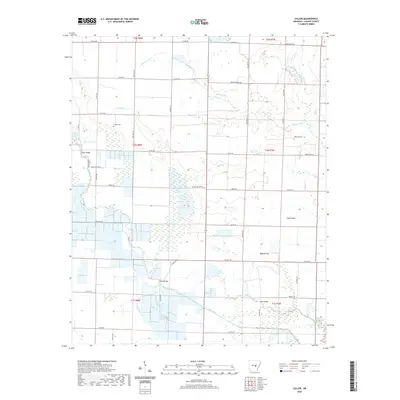 2020 Culler2020 Print · USGSThe drainage basins of Lonoke County are clearly defined in this recent survey of the Arkansas lowlands. Researchers can locate family landmarks like Legate Cem and Robinson Cem or trace the early engineering of Big Ditch.
 - 2020 Map of Sherrill, 2020 Print
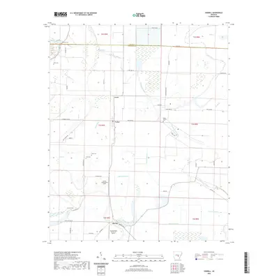 2020 Sherrill2020 Print · USGSSherrill and the surrounding Arkansas Delta are captured here in the contemporary era, showing a landscape defined by bayous and drainage laterals. Researchers can locate several historic burial sites like Hendricks Cem and Antioch Cem or trace the routes through Ferda and Tucker.
 - 2020 Map of Carlisle, 2020 Print
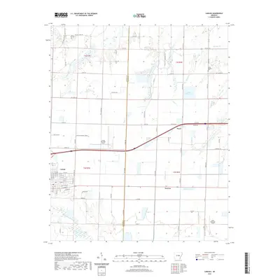 2020 Carlisle2020 Print · USGSCarlisle and Hazen are shown here at the heart of the Arkansas Grand Prairie during a period of modern agricultural and aviation growth. Researchers can locate family sites at Carlisle Cem and Mount Zion Cem or trace the drainage of Bayou Two Prairie and La Grue Bayou.
 - 2020 Map of Pettus, 2020 Print
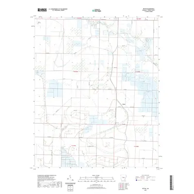 2020 Pettus2020 Print · USGSLonoke County, Arkansas, appears as a grid of family farms and wetland drainages in this contemporary survey. Genealogists can locate family-named sites like Sullivan Cem, Weedon Cem, and Tankersly Farm Rd along the winding banks of Bayou Meto.
 - 2020 Map of Parkers Corner, 2020 Print
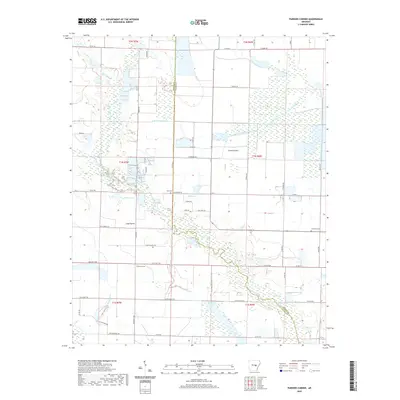 2020 Parkers Corner2020 Print · USGSThe Arkansas prairie is captured here in the early twenty-first century, showing a landscape shaped by water and agriculture. Genealogists can locate Zion Cem and Lutheran Cem or trace family land near Parkers Corner and Peterson Lake.
 - 2020 Map of Wattensaw, 2020 Print
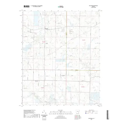 2020 Wattensaw2020 Print · USGSThe Lonoke and Prairie county borderlands come alive in this recent survey, centered on the winding Wattensaw Bayou. Genealogists can trace family footprints across numerous local burying grounds including Salem Cem, Harper Cem, and New Hope Cem.
 - 2020 Map of McRae, 2020 Print
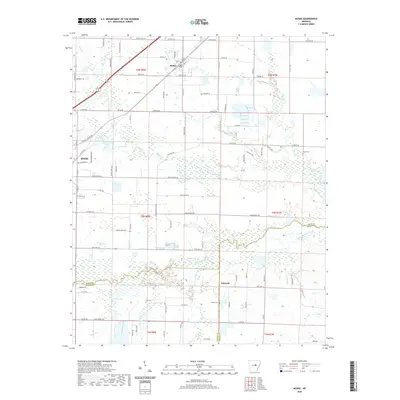 2020 McRae2020 Print · USGSWhite County at the start of the 2020s shows a landscape of established towns and complex waterways. Genealogists and researchers can trace family roots through several local burial grounds including Cheek Cem, Bass Cem, and Green Cem.
 - 2020 Map of Beebe, 2020 Print
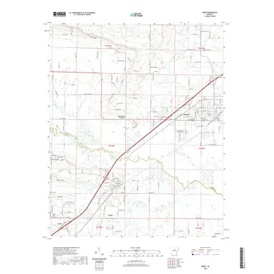 2020 Beebe2020 Print · USGSThe growing communities along the White and Lonoke county line are captured here in the early twenty-first century. Researchers can trace the layout of Beebe and Ward, locating landmarks like Apple Hill Cem and the Arkansas State University Beebe campus.
 - 2020 Map of Mountain Springs, 2020 Print
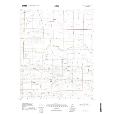 2020 Mountain Springs2020 Print · USGSThe rural landscape between El Paso and Cabot is captured here in the early twenty-first century as suburban growth meets traditional family lands. Trace local history through numerous burial sites like Mountain Springs Cemetery and landmarks such as Round Mtn or the Cypress Creek Airport.
 - 2020 Map of Cabot, 2020 Print
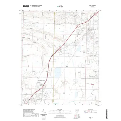 2020 Cabot2020 Print · USGSCabot and Jacksonville anchor this Central Arkansas landscape during a period of modern growth and military importance. Genealogists and local historians can trace family sites at Mount Carmel Cem or Bayou Meto Cem and locate landmarks like Quapaw Mineral Springs.
 - 2020 Map of Scott, 2020 Print
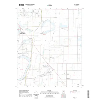 2020 Scott2020 Print · USGSSoutheast of North Little Rock in the early twenty-first century, the landscape is a complex network of Arkansas River oxbows and historic mounds. Researchers can trace ancestral sites at Toltec Mounds and locate family plots at Pea Ridge Cem or Hickory Grove Cem.
 - 2020 Map of Jacksonville, 2020 Print
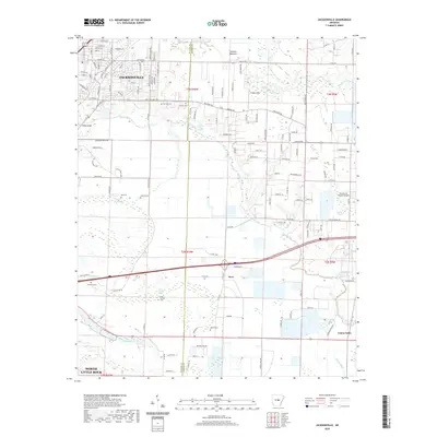 2020 Jacksonville2020 Print · USGSThe Jacksonville area in the late twenty-teens shows a landscape where suburban growth meets the bayous of the Lonoke county line. Trace local history through the winding Bayou Meto, historic Reeds Bridge, and family burial sites like McCraw Cem.
 - 2024 Map of Gethsemane, 2024 Print
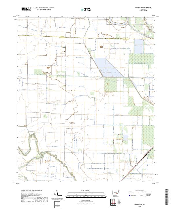 2024 Gethsemane2024 Print · USGSJefferson County agricultural lands are captured here in the mid-2020s, showing a landscape defined by delta bayous and rural section lines. Researchers can trace the meandering Wabbbaseka Bayou and Indian Woman Bayou near the settlement of Gethsemane.
 - 2024 Map of Wattensaw, 2024 Print
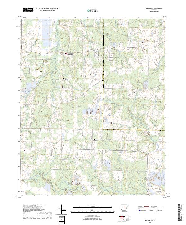 2024 Wattensaw2024 Print · USGSLonoke County remains a landscape of quiet rural communities and family landmarks in the modern era. Genealogists and local historians can locate several burial sites like Salem Cem and New Hope Cem, alongside small settlements at Butlerville and Wattensaw.
Showing maps 1-25 of 46
Top cities of Lonoke County
- Cabot historical maps
- Lonoke historical maps
- Ward historical maps
- England historical maps
- Carlisle historical maps
- Austin historical maps
See more
Frequently asked questions
- What are the different types of historical maps available for Lonoke County?
- What is the oldest map of Lonoke County?
- Where can I purchase historical maps of Lonoke County for my home or office?
- Where can I download high-res historical maps of Lonoke County?
- Are there historical topographic maps available for Lonoke County?
- Is there historical aerial imagery available for Lonoke County?
- Where are historical maps of Lonoke County sourced from?