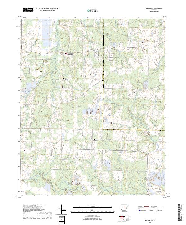
2024 Map of Wattensaw
USGS Topo · Published 2024About this map
Butlerville and Wattensaw serve as the primary nodes of settlement in this rural central Arkansas landscape, where the geography is defined by a dense network of local cemeteries and small airstrips. Family and community heritage is evident in the numerous burial grounds scattered across the township lines, including Butlerville Cem, Salem Cem, and Hebron Cem. The terrain is drained by several meandering waterways, such as Duck Creek and Pigeon Roost Creek, which slice through a mix of agricultural plots and managed land. Notable clearings like McCroskey Field and Eifling Field suggest a reliance on private aviation or agricultural spraying common to the region. Large-scale conservation or agricultural management is anchored by the Farm Service Agency Interest of Arkansas, which occupies a significant portion of the northern half of the quadrangle.
Find a feature on this map
34 named features on this map. Tap any name to fly to it.
Don’t see what you’re looking for? This feature index may not catch every label — zoom into the map to look around manually.
Map Details
Editions of this 2024 Wattensaw Map
This is the sole edition of this map. No revisions or reprints were ever made.
Other maps of this area

1932 · Kensett
USGS Topo · 1:62,500

1935 · Kensett
USGS Topo · 1:62,500

1935 · Hazen
USGS Topo · 1:62,500

1940 · Lonoke
USGS Topo · 1:62,500

1941 · Hazen
USGS Topo · 1:62,500

1948 · Helena
USGS Topo · 1:250,000

1949 · Lonoke
USGS Topo · 1:62,500

1950 · Helena
USGS Topo · 1:250,000

1950 · Lonoke
USGS Topo · 1:62,500

1953 · Memphis
USGS Topo · 1:250,000