2020s Maps of Ouachita County, Arkansas
Explore 46 historic maps of Ouachita County from the 2020s. These maps offer a rare glimpse into what life looked like during the 2020s — showing old roads, neighborhoods, homes, and landmarks that have changed or disappeared over time.
Whether you're researching your family's past, planning a metal detecting trip, or studying how Ouachita County's landscape evolved across the 2020s, these high-resolution maps are a powerful tool for exploring the history of this region.
- Focus on a specific era: All maps on this page are from the 2020s, giving you a focused view of this time period.
- See what’s changed: Compare century-old streets, trails, and buildings to today's modern landscape using overlays and satellite layers.
- Research with precision: Use these maps for genealogy, historical research, land use analysis, or educational projects.
- View, download, or print: Maps are fully viewable online in high resolution, and can be downloaded or printed for your own records.
Start exploring Ouachita County's history through authentic maps from the 2020s. This is your window into the past.
Ouachita County, AR maps
(46)- 2020 Map of Reader, 2020 Print
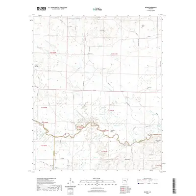 2020 Reader2020 Print · USGSThe Little Missouri River bottomlands in the late twenty-teens reveal a landscape shaped by water and wood at the intersection of three counties. Local historians can trace the rural communities of Reader and Sayre, alongside family landmarks like Jenkins Cem and Polk Stinnett Hill.
 - 2020 Map of Troy, 2020 Print
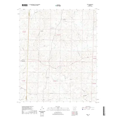 2020 Troy2020 Print · USGSOuachita County at the start of the 2020s shows a landscape deeply rooted in its rural heritage, where family settlements and churchyards remain the primary landmarks. Genealogists can trace local roots through several burial sites like Hickory Ridge Cem, Liberty Church Cem, and Zion Hill Cem.
 - 2020 Map of Stephens, 2020 Print
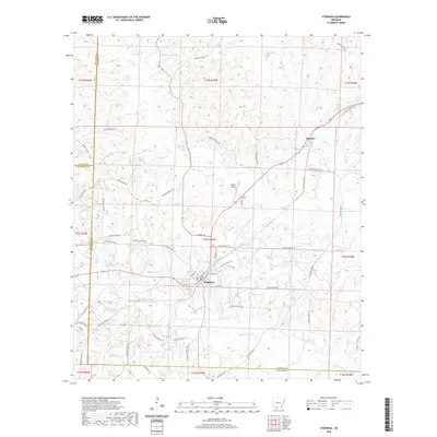 2020 Stephens2020 Print · USGSStephens and the surrounding timberlands of Ouachita County appear here in the early twenty-first century. Genealogists and local historians can trace rural property access via Ouachita Road 128 or locate family landmarks near Graysons Lake and Ogemaw.
 - 2020 Map of Chidester, 2020 Print
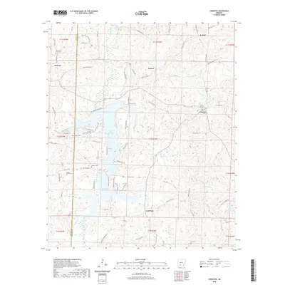 2020 Chidester2020 Print · USGSThe rural landscape of Ouachita and Nevada counties comes into focus in this recent survey, centered on the expansive waters of Lower White Oak Lake. Genealogists can trace family history at sites like Union Grove Cem, Mount Moriah Cem, and the old settlement of Good Hope.
 - 2020 Map of Smackover NE, 2020 Print
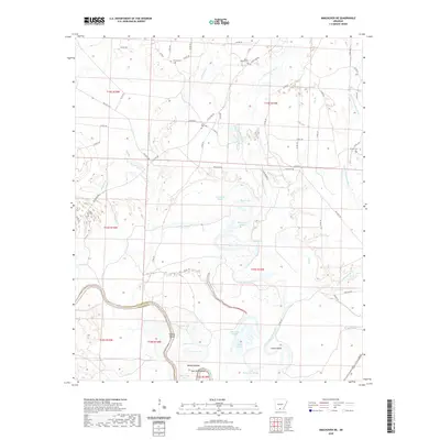 2020 Smackover NE2020 Print · USGSThe Ouachita River lowlands of southern Arkansas come to life here as they appeared recently, showing a landscape defined by water and timber. Genealogists can locate family burial grounds like Moses Chapel Cem or trace river features like Haidee Shoals and Boones Mound.
 - 2020 Map of Camden SW, 2020 Print
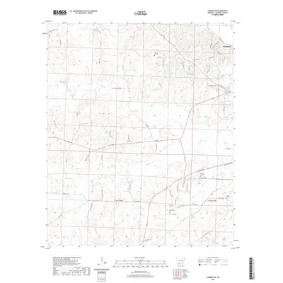 2020 Camden SW2020 Print · USGSThe outskirts of Camden in the 2020s are a landscape of quiet bayous and rural cemeteries. Genealogists can locate family landmarks like Hawkins Cem and Eternal Rest Cem or trace the drainage of Lewis Bayou and Turner Lake.
 - 2020 Map of Ouachita, 2020 Print
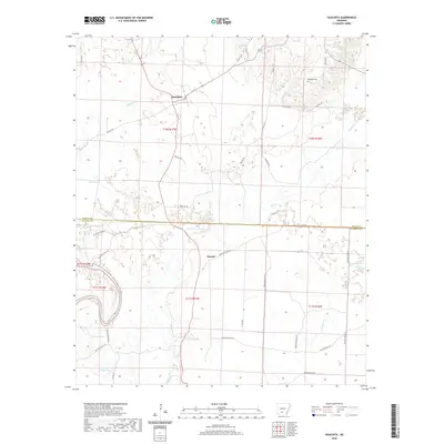 2020 Ouachita2020 Print · USGSThe rural border of Dallas and Ouachita counties comes into focus in this recent study of the Ouachita River basin. Researchers can trace the layout of small settlements like Ouachita and Smead or find the remote Brazeale Cem and Georgia Lake.
 - 2020 Map of Bearden, 2020 Print
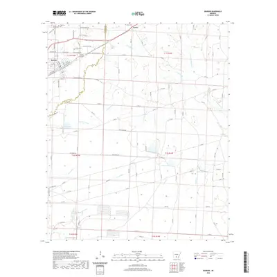 2020 Bearden2020 Print · USGSBearden and the rural timberlands of South Arkansas are documented here in the early twenty-first century. Researchers can locate family landmarks like Moss Hill Cemetery and Harlow Cemetery, or trace the paths of the Stout Tram and Locust Bayou.
 - 2020 Map of Hopeville, 2020 Print
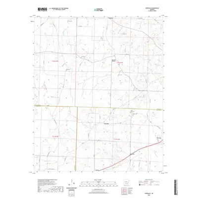 2020 Hopeville2020 Print · USGSSouth-central Arkansas at the Dallas and Calhoun county line is shown here in the contemporary era. Researchers can locate numerous small burial grounds and rural hubs, including Hopeville, Thornton, and family sites like Stevenson Cem or Clemons Cem.
 - 2020 Map of Holly Springs, 2020 Print
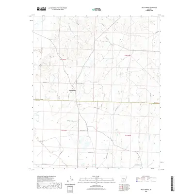 2020 Holly Springs2020 Print · USGSHolly Springs sits at the junction of Dallas and Ouachita counties in this modern survey of south-central Arkansas. Genealogists and local historians can locate Holly Springs Cemetery, Oak Grove Cemetery, and natural landmarks like Scale Springs.
 - 2020 Map of Buena Vista, 2020 Print
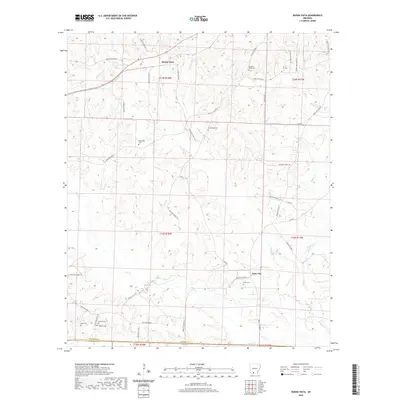 2020 Buena Vista2020 Print · USGSSouthern Arkansas rural life is captured here in the timbered country of Ouachita County. Researchers can pinpoint numerous family burial sites such as Smith Cem and Tate Cem or trace the winding waters of Smackover Cr and Lake Landers.
 - 2020 Map of Smackover, 2020 Print
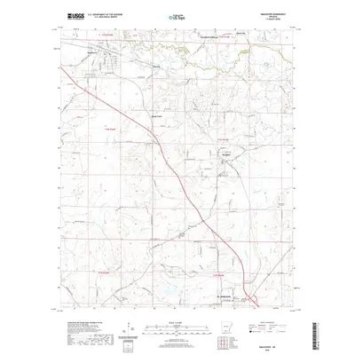 2020 Smackover2020 Print · USGSSouth Arkansas oil country is captured in the early 21st century, centered on the historic boomtown of Smackover. Family historians can trace numerous rural burial sites like Rehobeth Cem, Haynes Cem, and Sycamore Grove Cem scattered between Norphlet and EL DORADO.
 - 2020 Map of Eagle Mills, 2020 Print
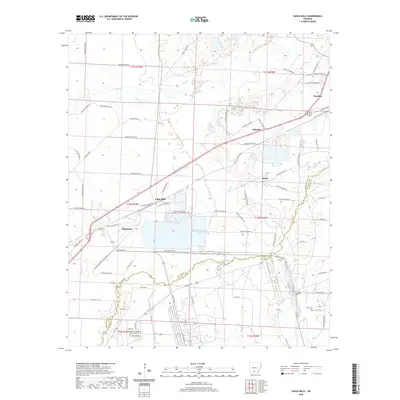 2020 Eagle Mills2020 Print · USGSThe timber country of south-central Arkansas is captured here as it appeared in recent years, centered on the community of Bearden. Genealogists and researchers can trace local landmarks like Evans Cem, the campus of Southern Arkansas University Tech, and the small settlements of Eagle Mills and Millville.
 - 2020 Map of Louann, 2020 Print
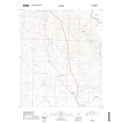 2020 Louann2020 Print · USGSThe Ouachita and Union County borderlands are shown here in the contemporary era as a network of rural settlements and winding creeks. Researchers can locate family heritage sites like Old Liberty Cem, Ebenezer Cem, and the community of Frenchport.
 - 2020 Map of East Camden, 2020 Print
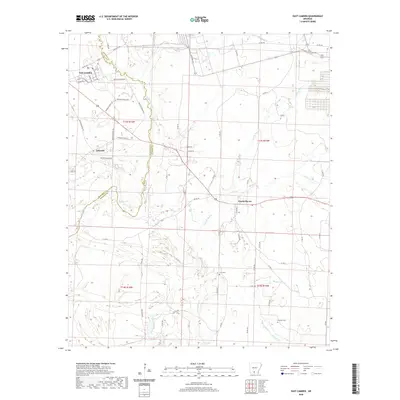 2020 East Camden2020 Print · USGSThe rural landscapes of Ouachita and Calhoun counties are meticulously detailed here in the early twenty-first century. Researchers can trace the winding course of Two Bayou or locate family sites like Furr Cem and Plunkett Cem near Locust Bayou.
 - 2020 Map of Tates Bluff, 2020 Print
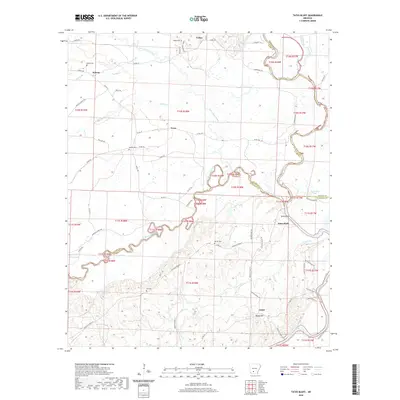 2020 Tates Bluff2020 Print · USGSThe river junction at Tates Bluff and its surrounding rural communities are captured here in the early twenty-first century. Genealogists can trace family roots through numerous burial sites like Vaden Cem and McGill Cem or the settlements of Kansas and Lunet.
 - 2020 Map of Snow Hill, 2020 Print
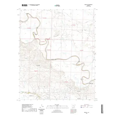 2020 Snow Hill2020 Print · USGSThe Ouachita River valley near the Union County line is shown here in the contemporary era, illustrating the intricate hydrology of the Arkansas lowlands. Genealogists and local historians can locate early settlements like Snow Hill, Cross Roads, and the oil-patch community of Joyce City.
 - 2020 Map of Harmony Grove, 2020 Print
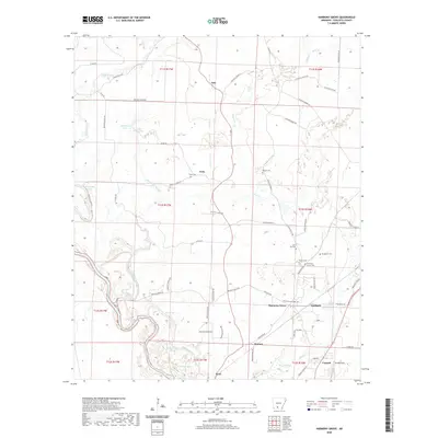 2020 Harmony Grove2020 Print · USGSThe river bottoms and rural uplands of Ouachita County are captured here in the contemporary era. Researchers can trace family history through several local landmarks like Harmony Grove Cem, Toney Cem, and the old settlement at Vanduzer.
 - 2020 Map of Lisbon, 2020 Print
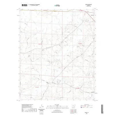 2020 Lisbon2020 Print · USGSThe rural timberlands of South Arkansas are meticulously detailed here in the early twenty-first century. Genealogists and local historians can trace family roots through numerous burial sites like Sweet Canaan Cem, Lisbon Cem, and Yocum Cem.
 - 2020 Map of Bragg City, 2020 Print
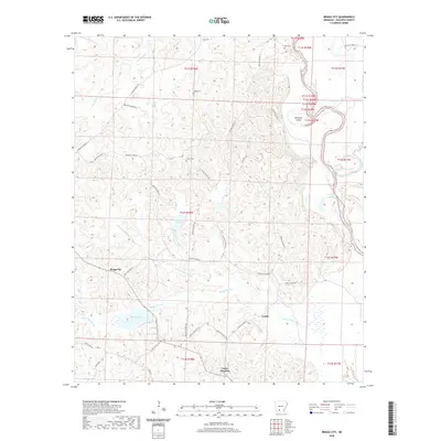 2020 Bragg City2020 Print · USGSThe bottomlands of the Ouachita River meet the small settlements of Ouachita County in this recent survey. Researchers can trace local lineage at Bragg Cem and Green Cem or locate the quiet crossroads of Bragg City and Lester Junction.
 - 2020 Map of Camden, 2020 Print
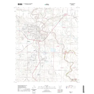 2020 Camden2020 Print · USGSCamden and the surrounding Ouachita River bottomlands are captured here in the modern era as they continue to revolve around the river’s winding course. Genealogists and historians can locate several major burial sites, such as Jewish Rest Cem and Cullendale Cem, alongside local aviation landmarks like Harrell Field.
 - 2020 Map of Mount Holly, 2020 Print
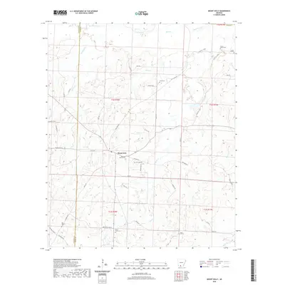 2020 Mount Holly2020 Print · USGSThe rural borderlands between Union and Columbia counties are captured here in the early twenty-first century. Genealogists can trace family heritage through a high concentration of local burial grounds, including Mount Holly Cem, Smeed Cem, and the Bethel Church Cem.
 - 2020 Map of Calion, 2020 Print
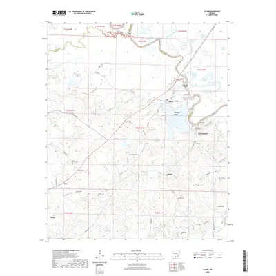 2020 Calion2020 Print · USGSThe Ouachita River lowlands of Union County come into focus in the 2020s. Genealogists can trace family names at Champagnole Castleberry Cem and Daniels Cem or locate the settlements of Calion and Champagnolle.
 - 2024 Map of Tates Bluff, 2024 Print
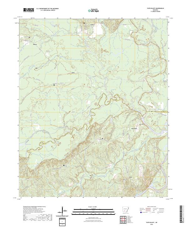 2024 Tates Bluff2024 Print · USGSThe confluence of the Ouachita and Little Missouri rivers defines this southern Arkansas landscape. Genealogists can trace family roots through rural communities like Vaden and Lunet, or locate family burial sites at Easley Cem and Hill Cem.
 - 2024 Map of Louann, 2024 Print
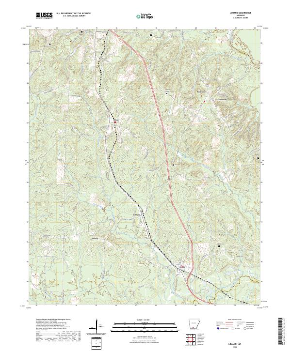 2024 Louann2024 Print · USGSSouth Arkansas rural life and small-town settlements are documented here near the junction of several creek systems. Genealogists can locate family landmarks like Old Liberty Cem, Patton Cem, and Hughes Cem near the communities of Frenchport and Kirkland.
Showing maps 1-25 of 46
Top cities of Ouachita County
- Camden historical maps
- Stephens historical maps
- Bearden historical maps
- East Camden historical maps
- Chidester historical maps
- Louann historical maps
Frequently asked questions
- What are the different types of historical maps available for Ouachita County?
- What is the oldest map of Ouachita County?
- Where can I purchase historical maps of Ouachita County for my home or office?
- Where can I download high-res historical maps of Ouachita County?
- Are there historical topographic maps available for Ouachita County?
- Is there historical aerial imagery available for Ouachita County?
- Where are historical maps of Ouachita County sourced from?