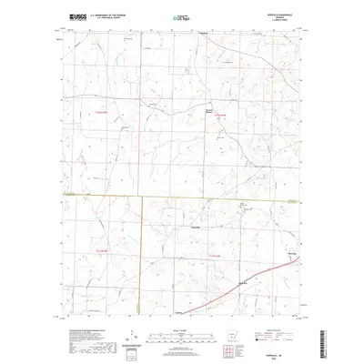
2020 Map of Hopeville
USGS Topo · Published 2020About this map
The boundary lines of Dallas, Ouachita, and Calhoun Counties converge in this rural Arkansas landscape, anchored by the settlement of Thornton. The area is defined by a dense network of small family cemeteries and creek drainages that historically shaped local settlement patterns. Small communities like Hopeville, Little Bay, and Forrest Bonner are connected by a web of county roads such as Ouachita Road 97 and Dallas 127. Genealogy researchers will find significant value in the distribution of burial sites, including Double Springs Cem, McDonald Cem, and Wheeler's Cem. The physical geography is dominated by winding watercourses like Champagnolle Cr, Freeo Cr, and Beaver Pond Cr, which weave through the lowlands between the scattered upland homesteads and timber tracts of south-central Arkansas.
Find a feature on this map
60 named features on this map. Tap any name to fly to it.
Don’t see what you’re looking for? This feature index may not catch every label — zoom into the map to look around manually.
Map Details
Editions of this 2020 Hopeville Map
This is the sole edition of this map. No revisions or reprints were ever made.
Other maps of this area

1903 · Camden
USGS Topo · 1:125,000

1953 · El Dorado
USGS Topo · 1:250,000

1957 · El Dorado
USGS Topo · 1:250,000

1958 · El Dorado
USGS Topo · 1:250,000

1960 · El Dorado
USGS Topo · 1:250,000

1966 · Fordyce
USGS Topo · 1:24,000
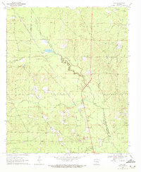
1969 · Ivan
USGS Topo · 1:24,000

1973 · Bearden
USGS Topo · 1:24,000
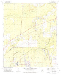
1973 · Eagle Mills
USGS Topo · 1:24,000
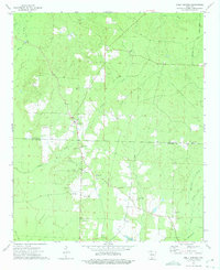
1973 · Holly Springs
USGS Topo · 1:24,000