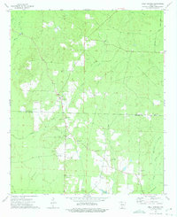
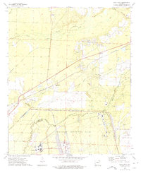
1973 Map of Holly Springs
USGS Topo · Published 1975About this map
Holly Springs sits at the heart of this mid-1970s survey, marking a transitional landscape where the Dallas Co Ouachita Co line bisects the terrain. The map reveals a community defined by its rural infrastructure, including the Holly Springs Lookout Tower and a network of secondary roads such as Townsend Road. The economy of the era is evidenced by numerous Gravel Pits scattered near the settlement and along the many creek drainages.
Find a feature on this map
23 named features on this map. Tap any name to fly to it.
Don’t see what you’re looking for? This feature index may not catch every label — zoom into the map to look around manually.
Map Details
Editions of this 1973 Holly Springs Map
2 editions found
Other maps of this area

1903 · Camden
USGS Topo · 1:125,000

1953 · El Dorado
USGS Topo · 1:250,000

1957 · El Dorado
USGS Topo · 1:250,000

1958 · El Dorado
USGS Topo · 1:250,000

1960 · El Dorado
USGS Topo · 1:250,000
1971 · Sparkman
USGS Topo · 1:24,000

1971 · Ouachita
USGS Topo · 1:24,000
1971 · Harmony Grove
USGS Topo · 1:24,000

1973 · Bearden
USGS Topo · 1:24,000
1973 · Eagle Mills
USGS Topo · 1:24,000