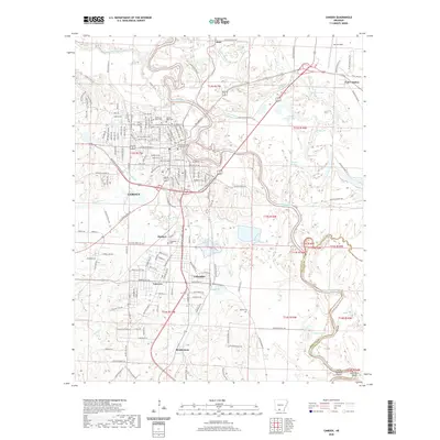
2020 Map of Camden
USGS Topo · Published 2020About this map
The Ouachita River meanders through this portion of southern Arkansas, anchoring a landscape where the river’s historical path is visible in features like Newman Slough and Estridge Bayou. The city of Camden serves as the focal point, showing a developed street grid that supports the Ouachita County Courthouse and numerous historical burial grounds, including the Greenwood Cem and the Confederate Cem.
Find a feature on this map
145 named features on this map. Tap any name to fly to it.
Don’t see what you’re looking for? This feature index may not catch every label — zoom into the map to look around manually.
Map Details
Editions of this 2020 Camden Map
This is the sole edition of this map. No revisions or reprints were ever made.
Other maps of this area

1903 · Camden
USGS Topo · 1:125,000

1951 · Camden
USGS Topo · 1:24,000

1953 · El Dorado
USGS Topo · 1:250,000

1957 · El Dorado
USGS Topo · 1:250,000

1958 · El Dorado
USGS Topo · 1:250,000

1960 · El Dorado
USGS Topo · 1:250,000

1962 · Louann
USGS Topo · 1:24,000

1962 · Buena Vista
USGS Topo · 1:24,000

1962 · Snow Hill
USGS Topo · 1:24,000

1964 · Smackover
USGS Topo · 1:62,500