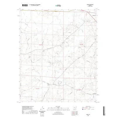
2020 Map of Lisbon
USGS Topo · Published 2020About this map
Lisbon and the surrounding pine-belt lowlands of Union County are defined by a complex network of creeks and small family cemeteries. The landscape is etched with the courses of Smackover Cr and Richland Cr, while the small settlement of Dumas City sits near the southeastern corner. This area has long been a patchwork of rural homesteads and timber interests, evidenced by the numerous burial grounds like Sweet Canaan Cem and Lone Oak Cem that serve as primary markers for genealogical research. Local landmarks such as Lake Lisbon and Sowell Lake punctuate the terrain, while the northern edge of the map touches the established community of Smackover. Roads like Sugarland Rd and Mount Holly Rd connect these scattered rural features, illustrating the enduring transport patterns of the Arkansas timberlands.
Find a feature on this map
65 named features on this map. Tap any name to fly to it.
Don’t see what you’re looking for? This feature index may not catch every label — zoom into the map to look around manually.
Map Details
Editions of this 2020 Lisbon Map
This is the sole edition of this map. No revisions or reprints were ever made.
Other maps of this area

1927 · El Dorado
USGS Topo · 1:62,500

1930 · El Dorado
USGS Topo · 1:62,500

1951 · El Dorado
USGS Topo · 1:62,500

1953 · El Dorado
USGS Topo · 1:250,000

1957 · El Dorado
USGS Topo · 1:250,000

1958 · El Dorado
USGS Topo · 1:250,000

1960 · El Dorado
USGS Topo · 1:250,000

1962 · Lisbon
USGS Topo · 1:24,000

1962 · Louann
USGS Topo · 1:24,000

1962 · Buena Vista
USGS Topo · 1:24,000