2000s (21st Century) Maps of Jacksonville, Arkansas
Explore 20 historic maps of Jacksonville from the 2000s (21st Century). These maps offer a rare glimpse into what life looked like during the 2000s — showing old roads, neighborhoods, homes, and landmarks that have changed or disappeared over time.
Whether you're researching your family's past, planning a metal detecting trip, or studying how Jacksonville's landscape evolved across the 2000s, these high-resolution maps are a powerful tool for exploring the history of this region.
- Focus on a specific era: All maps on this page are from the 2000s, giving you a focused view of this time period.
- See what’s changed: Compare century-old streets, trails, and buildings to today's modern landscape using overlays and satellite layers.
- Research with precision: Use these maps for genealogy, historical research, land use analysis, or educational projects.
- View, download, or print: Maps are fully viewable online in high resolution, and can be downloaded or printed for your own records.
Start exploring Jacksonville's history through authentic maps from the 2000s. This is your window into the past.
Jacksonville, AR maps
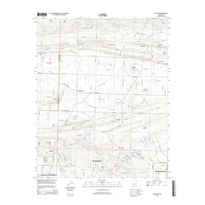
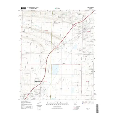
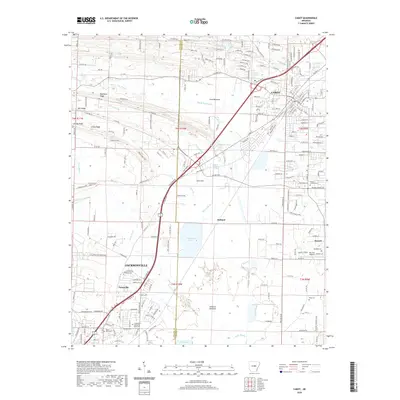
(20)- 2011 Map of Jacksonville, 2011 Print
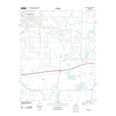 2011 Jacksonville2011 Print · USGSCovers Jacksonville, including North Little Rock, Kerr, and other nearby areas
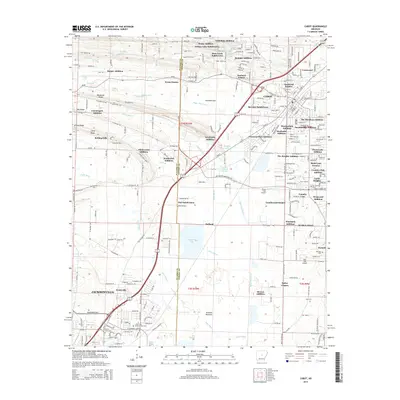
 - 2011 Map of Cabot, 2011 Print
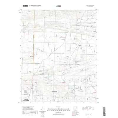
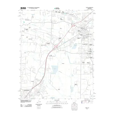 2011 Cabot2011 Print · USGSCovers Jacksonville, including Cabot, Cannongate Addition, and other nearby areas
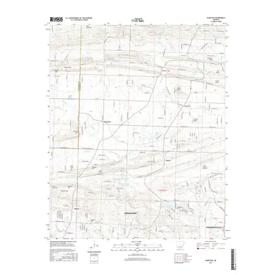
 - 2011 Map of Olmstead, 2011 Print
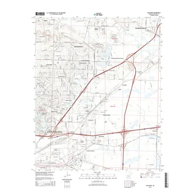
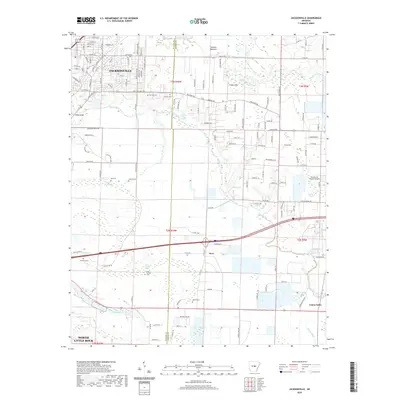
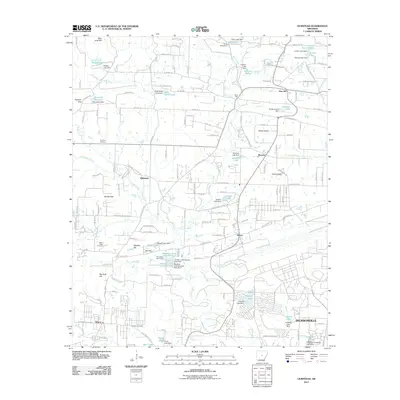 2011 Olmstead2011 Print · USGSCovers Jacksonville, including North Little Rock, Sherwood, and other nearby areas
 - 2011 Map of McAlmont, 2011 Print
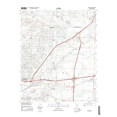
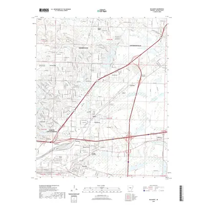
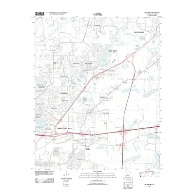 2011 McAlmont2011 Print · USGSCovers Jacksonville, including North Little Rock, Sherwood, and other nearby areas
 - 2014 Map of Olmstead, 2014 Print
 2014 Olmstead2014 Print · USGSCovers Jacksonville, including North Little Rock, Sherwood, and other nearby areas
 - 2014 Map of Cabot, 2014 Print
 2014 Cabot2014 Print · USGSCovers Jacksonville, including Cabot, Cannongate Addition, and other nearby areas
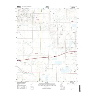
 - 2014 Map of Jacksonville, 2014 Print
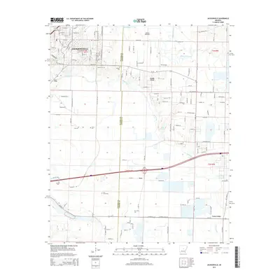 2014 Jacksonville2014 Print · USGSCovers Jacksonville, including North Little Rock, Kerr, and other nearby areas
 - 2014 Map of McAlmont, 2014 Print
 2014 McAlmont2014 Print · USGSCovers Jacksonville, including North Little Rock, Sherwood, and other nearby areas
 - 2017 Map of Cabot, 2017 Print
 2017 Cabot2017 Print · USGSCovers Jacksonville, including Cabot, Cannongate Addition, and other nearby areas
 - 2017 Map of Olmstead, 2017 Print
 2017 Olmstead2017 Print · USGSCovers Jacksonville, including North Little Rock, Sherwood, and other nearby areas
 - 2017 Map of Jacksonville, 2017 Print
 2017 Jacksonville2017 Print · USGSCovers Jacksonville, including North Little Rock, Kerr, and other nearby areas
 - 2017 Map of McAlmont, 2017 Print
 2017 McAlmont2017 Print · USGSCovers Jacksonville, including North Little Rock, Sherwood, and other nearby areas
 - 2020 Map of Cabot, 2020 Print
 2020 Cabot2020 Print · USGSCovers Jacksonville, including Cabot, Cannongate Addition, and other nearby areas
 - 2020 Map of McAlmont, 2020 Print
 2020 McAlmont2020 Print · USGSCovers Jacksonville, including North Little Rock, Sherwood, and other nearby areas
 - 2020 Map of Jacksonville, 2020 Print
 2020 Jacksonville2020 Print · USGSCovers Jacksonville, including North Little Rock, Kerr, and other nearby areas
 - 2020 Map of Olmstead, 2020 Print
 2020 Olmstead2020 Print · USGSCovers Jacksonville, including North Little Rock, Sherwood, and other nearby areas
 - 2024 Map of Jacksonville, 2024 Print
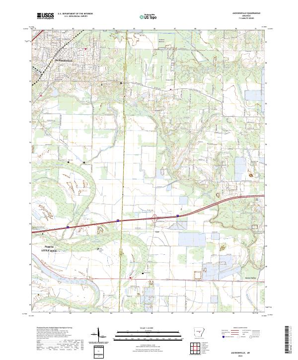 2024 Jacksonville2024 Print · USGSJacksonville and the Pulaski-Lonoke county line are documented here in 2024, showing a landscape shaped by Bayou Meto. Genealogists can trace family roots through numerous sites like McCraw Cem, Ellis Cem, and the small settlement of Kerr.
 - 2024 Map of Cabot, 2024 Print
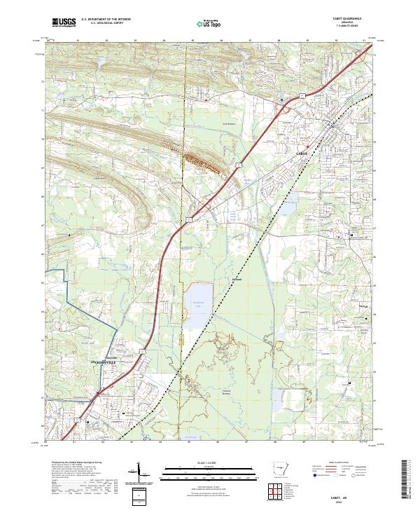 2024 Cabot2024 Print · USGSThe growing corridor between Pulaski and Lonoke Counties comes into focus in this recent survey. Local historians and genealogists can trace the expansion of Cabot and Jacksonville or locate family sites like Mount Carmel Cem and Toneyville.
 - 2024 Map of Olmstead, 2024 Print
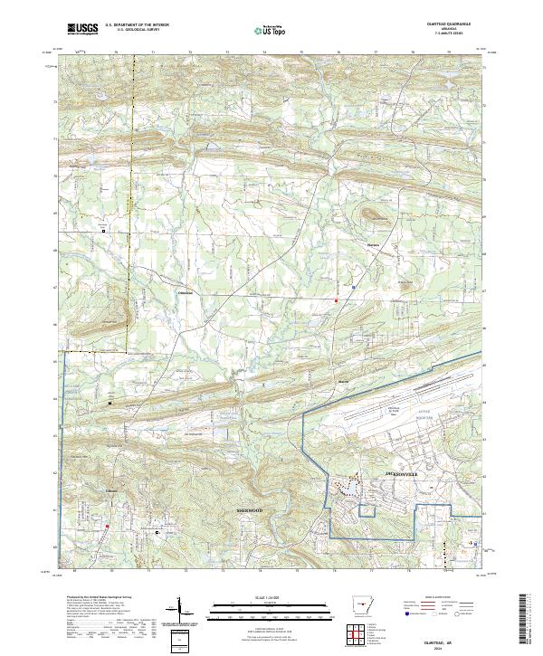 2024 Olmstead2024 Print · USGSNorth of the capital, this modern survey captures the suburban and military landscape of Pulaski County as it looks today. Researchers can trace the boundaries of Little Rock Air Force Base and locate community landmarks like Harmony Cem and Olmstead.
 - 2024 Map of McAlmont, 2024 Print
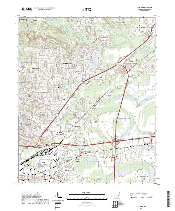 2024 McAlmont2024 Print · USGSThe northern Arkansas suburbs of Pulaski County are shown in this modern survey, capturing the industrial and residential growth of the region. Genealogists can trace family landmarks like Lea Cem and Hickman Memorial Cem alongside the historic rail paths through McAlmont and Protho Junction.
End of results
Showing maps 1-20 of 20
Top cities near Jacksonville
- Little Rock historical maps
- North Little Rock historical maps
- Cabot historical maps
- Sherwood historical maps
- Maumelle historical maps
- Beebe historical maps
See more
Top neighborhoods of Jacksonville
Frequently asked questions
- What are the different types of historical maps available for Jacksonville?
- What is the oldest map of Jacksonville?
- Where can I purchase historical maps of Jacksonville for my home or office?
- Where can I download high-res historical maps of Jacksonville?
- Are there historical topographic maps available for Jacksonville?
- Is there historical aerial imagery available for Jacksonville?
- Where are historical maps of Jacksonville sourced from?