2000s (21st Century) Maps of Yell County, Arkansas
Explore 140 historic maps of Yell County from the 2000s (21st Century). These maps offer a rare glimpse into what life looked like during the 2000s — showing old roads, neighborhoods, homes, and landmarks that have changed or disappeared over time.
Whether you're researching your family's past, planning a metal detecting trip, or studying how Yell County's landscape evolved across the 2000s, these high-resolution maps are a powerful tool for exploring the history of this region.
- Focus on a specific era: All maps on this page are from the 2000s, giving you a focused view of this time period.
- See what’s changed: Compare century-old streets, trails, and buildings to today's modern landscape using overlays and satellite layers.
- Research with precision: Use these maps for genealogy, historical research, land use analysis, or educational projects.
- View, download, or print: Maps are fully viewable online in high resolution, and can be downloaded or printed for your own records.
Start exploring Yell County's history through authentic maps from the 2000s. This is your window into the past.
Yell County, AR maps
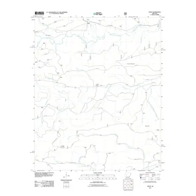
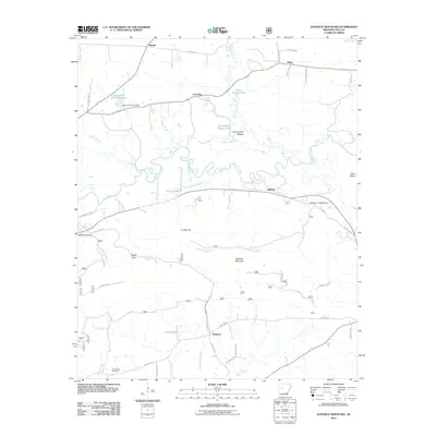
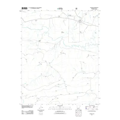
(140)- 2011 Map of Onyx, 2011 Print
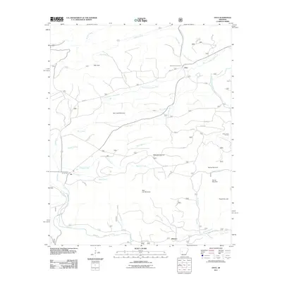 2011 Onyx2011 Print · USGSCovers Yell County, including Aly, Stillwater, and other nearby areas
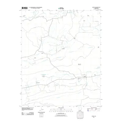
 - 2011 Map of Fannie, 2011 Print
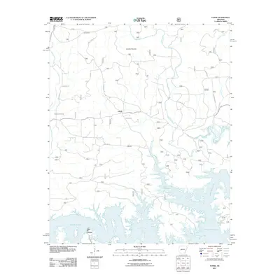 2011 Fannie2011 Print · USGSCovers Yell County, including Liberty, Little Fir Landing, and other nearby areas
 - 2011 Map of Sims, 2011 Print
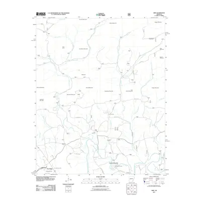 2011 Sims2011 Print · USGSCovers Yell County, including Sims, Chasewood Landing, and other nearby areas
 - 2011 Map of Nimrod Dam, 2011 Print
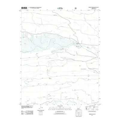 2011 Nimrod Dam2011 Print · USGSCovers Yell County, including Fourche Junction, Perry County, and other nearby areas
 - 2011 Map of Bluffton, 2011 Print
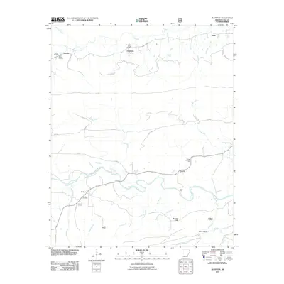 2011 Bluffton2011 Print · USGSCovers Yell County, including Chalybeate Springs, Bluffton, and other nearby areas
 - 2011 Map of Chula Mountain, 2011 Print
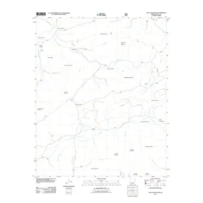 2011 Chula Mountain2011 Print · USGSCovers Yell County, including Chula, United States, and other nearby areas
 - 2011 Map of Story, 2011 Print
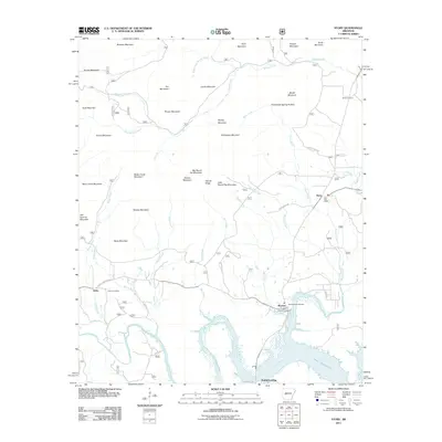 2011 Story2011 Print · USGSCovers Yell County, including Washita, Gibbs, and other nearby areas
 - 2011 Map of Rover, 2011 Print
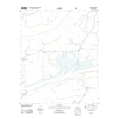 2011 Rover2011 Print · USGSCovers Yell County, including Rover, Briggsville, and other nearby areas
 - 2011 Map of Little Texas, 2011 Print
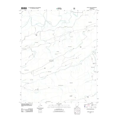 2011 Little Texas2011 Print · USGSCovers Yell County, including Little Texas, Scott County, and other nearby areas
 - 2011 Map of Steve, 2011 Print
 2011 Steve2011 Print · USGSCovers Yell County, including Steve, Garland County, and other nearby areas
 - 2011 Map of Plainview, 2011 Print
 2011 Plainview2011 Print · USGSCovers Yell County, including Plainview, Wards Crossing, and other nearby areas
 - 2011 Map of Adona, 2011 Print
 2011 Adona2011 Print · USGSCovers Yell County, including Adona, Homewood, and other nearby areas
 - 2011 Map of Atkins, 2011 Print
 2011 Atkins2011 Print · USGSCovers Yell County, including Atkins, Galla Rock, and other nearby areas
 - 2011 Map of Gravelly, 2011 Print
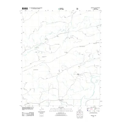 2011 Gravelly2011 Print · USGSCovers Yell County, including Blue Ball, Gravelly, and other nearby areas
 - 2011 Map of Danville, 2011 Print
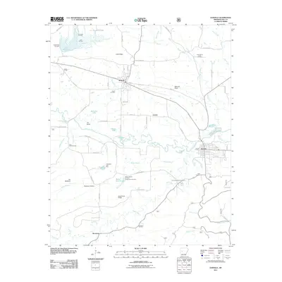 2011 Danville2011 Print · USGSCovers Yell County, including Danville, Belleville, and other nearby areas
 - 2011 Map of Delaware, 2011 Print
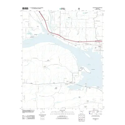 2011 Delaware2011 Print · USGSCovers Yell County, including London, Knoxville, and other nearby areas
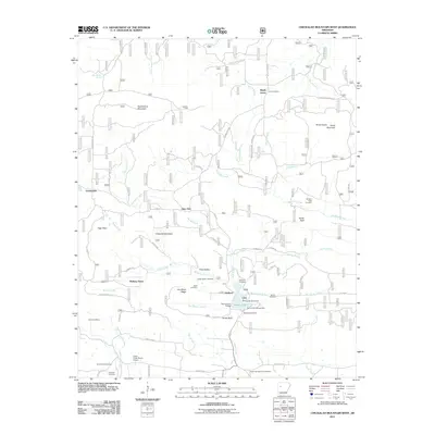
 - 2011 Map of Chickalah Mountain East, 2011 Print
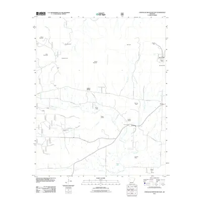 2011 Chickalah Mountain East2011 Print · USGSCovers Yell County, including Mosley, Chickalah, and other nearby areas
 - 2011 Map of Blue Mountain, 2011 Print
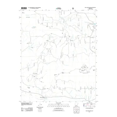 2011 Blue Mountain2011 Print · USGSCovers Yell County, including Blue Mountain, Corley, and other nearby areas
 - 2011 Map of Magazine Mountain NE, 2011 Print
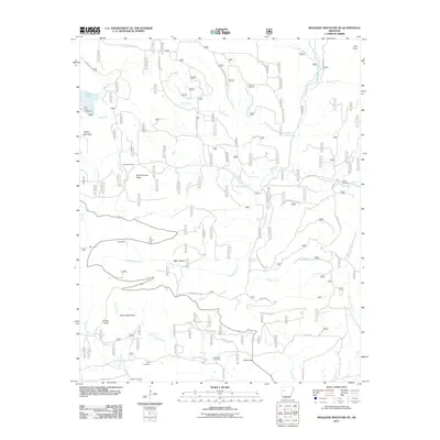 2011 Magazine Mountain NE2011 Print · USGSCovers Yell County, including Logan County, United States, and other nearby areas
 - 2011 Map of Dardanelle, 2011 Print
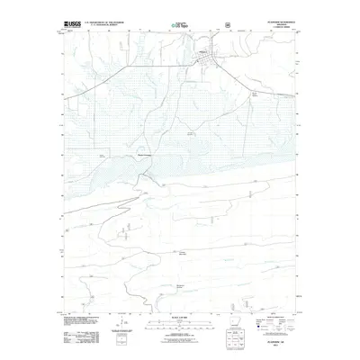
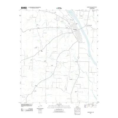 2011 Dardanelle2011 Print · USGSCovers Yell County, including Russellville, Dardanelle, and other nearby areas
 - 2011 Map of Russellville West, 2011 Print
 2011 Russellville West2011 Print · USGSCovers Yell County, including Russellville, Dardanelle, and other nearby areas
 - 2011 Map of Blue Mountain Dam, 2011 Print
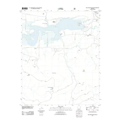 2011 Blue Mountain Dam2011 Print · USGSCovers Yell County, including Blue Mountain, Waveland, and other nearby areas
 - 2011 Map of Danville Mountain, 2011 Print
 2011 Danville Mountain2011 Print · USGSCovers Yell County, including Danville, Alpha, and other nearby areas
 - 2011 Map of Chickalah Mountain West, 2011 Print
 2011 Chickalah Mountain West2011 Print · USGSCovers Yell County, including Gum Tree, Crossroads, and other nearby areas
 - 2011 Map of Havana, 2011 Print
 2011 Havana2011 Print · USGSCovers Yell County, including Havana, Marvinville, and other nearby areas
Showing maps 1-25 of 140
Top cities of Yell County
- Dardanelle historical maps
- Danville historical maps
- Ola historical maps
- Plainview historical maps
- Belleville historical maps
- Havana historical maps
See more
Frequently asked questions
- What are the different types of historical maps available for Yell County?
- What is the oldest map of Yell County?
- Where can I purchase historical maps of Yell County for my home or office?
- Where can I download high-res historical maps of Yell County?
- Are there historical topographic maps available for Yell County?
- Is there historical aerial imagery available for Yell County?
- Where are historical maps of Yell County sourced from?