2020s Maps of Yell County, Arkansas
Explore 56 historic maps of Yell County from the 2020s. These maps offer a rare glimpse into what life looked like during the 2020s — showing old roads, neighborhoods, homes, and landmarks that have changed or disappeared over time.
Whether you're researching your family's past, planning a metal detecting trip, or studying how Yell County's landscape evolved across the 2020s, these high-resolution maps are a powerful tool for exploring the history of this region.
- Focus on a specific era: All maps on this page are from the 2020s, giving you a focused view of this time period.
- See what’s changed: Compare century-old streets, trails, and buildings to today's modern landscape using overlays and satellite layers.
- Research with precision: Use these maps for genealogy, historical research, land use analysis, or educational projects.
- View, download, or print: Maps are fully viewable online in high resolution, and can be downloaded or printed for your own records.
Start exploring Yell County's history through authentic maps from the 2020s. This is your window into the past.
Yell County, AR maps
(56)- 2020 Map of Atkins, 2020 Print
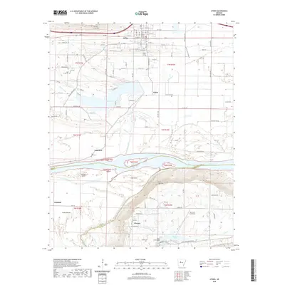 2020 Atkins2020 Print · USGSThe Arkansas River valley comes into focus in the 2020s, showing the agricultural and transport corridor between the river and the heights of Crow Mtn. Researchers can trace the layout of Atkins, locate family sites at Gally Rock Cem and Darr Cem, and explore the parklands around Petit Jean Mtn.
 - 2020 Map of Adona, 2020 Print
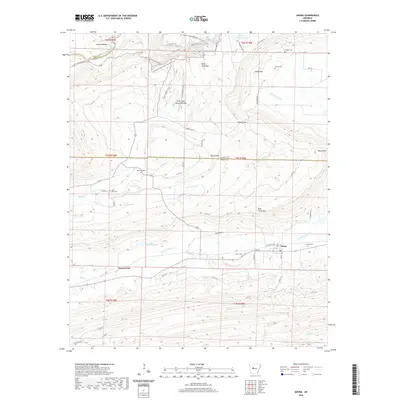 2020 Adona2020 Print · USGSAdona and the surrounding Perry County foothills are captured here in a period of modern rural continuity. Researchers can trace ancestral locations through numerous family burial sites like Liberty Cem and Hamilton Cem or explore the rugged trails near the Petit Jean Natural Bridge.
 - 2020 Map of Russellville West, 2020 Print
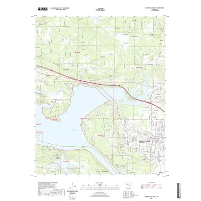 2020 Russellville West2020 Print · USGSThe Arkansas River valley comes alive in this 2020 map of the Russellville area, showing the city's growth alongside historic rural settlements. Genealogists and local historians can trace civic landmarks like the Pope County Courthouse or search for family names at Washburn Cemetery and the Ouita Coal Company.
 - 2020 Map of Chickalah Mountain West, 2020 Print
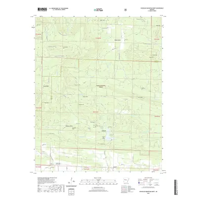 2020 Chickalah Mountain West2020 Print · USGSYell County's wooded ridges and quiet valleys are documented here during the early twenty-first century. Genealogists and local historians can locate numerous family burial sites such as Abbott Grave and Harkey's Valley Cem near Gum Tree.
 - 2020 Map of Holla Bend, 2020 Print
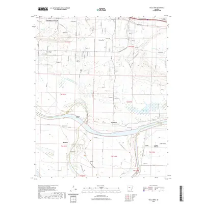 2020 Holla Bend2020 Print · USGSPope and Yell Counties are defined here by the winding Arkansas River as it flows past Russellville and Pottsville. Trace the legacy of early travel and family history at Butterfield Stagecoach Byp, Bethel Cem, and the riverfront at Howells Bend.
 - 2020 Map of Havana, 2020 Print
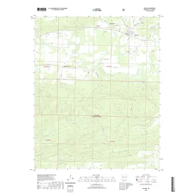 2020 Havana2020 Print · USGSHavana and the Petit Jean River valley appear in this modern survey during a period of steady rural settlement in Yell County. Researchers can trace family legacies through several local burial grounds, including Underwood Cem, Pleasant Valley Cem, and Walker Cem.
 - 2020 Map of Danville, 2020 Print
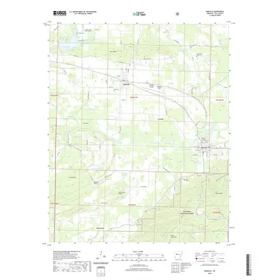 2020 Danville2020 Print · USGSYell County's river-fed valley comes to life in the 2020s, centered on the historic seat of Danville and the Petit Jean River. Genealogists and local historians can trace legacy sites like the Danville Courthouse, Macedonia Cem, and Lower Spring Creek Cem.
 - 2020 Map of Blue Mountain, 2020 Print
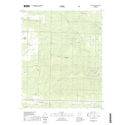 2020 Blue Mountain2020 Print · USGSMount Magazine stands tall in the Arkansas back country during the early twenty-first century. Researchers can trace family sites at Little Hope Cem and Rana Cem or explore the geography of Cameron Bluff and Blue Mountain.
 - 2020 Map of Ola, 2020 Print
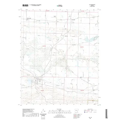 2020 Ola2020 Print · USGSYell County's river-bottom lands and rising ridges are captured here during the early twenty-first century. Genealogists and local historians can trace family locations through numerous rural burial grounds like Petillo Hill Cem and Oakland Cem near Ola.
 - 2020 Map of Casa, 2020 Print
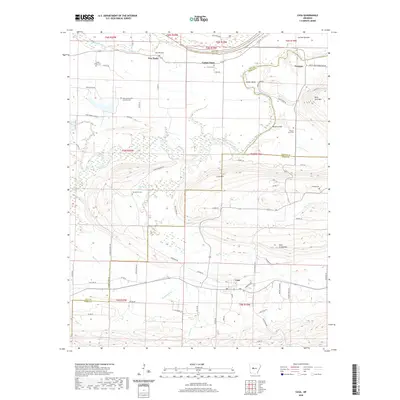 2020 Casa2020 Print · USGSThe northern Arkansas foothills in Perry and Yell counties are captured here as they appeared in recent years. Researchers can trace family history through sites like Slaty Crossing Catholic Cem or explore small settlements such as Cotton Town and Casa.
 - 2020 Map of Chickalah Mountain East, 2020 Print
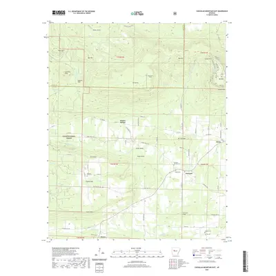 2020 Chickalah Mountain East2020 Print · USGSYell County in the early twenty-first century retains its rural character, shaped by the ridges and creek valleys of the Ozark National Forest. Genealogists and local historians can trace family locations near the Mountain Spring Cemetery or the historic settlement of Chickalah.
 - 2020 Map of Blue Mountain Dam, 2020 Print
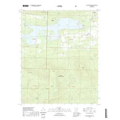 2020 Blue Mountain Dam2020 Print · USGSBlue Mountain Lake and the surrounding Yell and Logan County ridges are shown here in fine detail during the modern era. Genealogists can locate family burial sites such as Moores Chapel Cem and Alexander A Scott Cem near the banks of the Petit Jean River.
 - 2020 Map of Magazine Mountain NE, 2020 Print
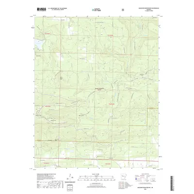 2020 Magazine Mountain NE2020 Print · USGSLogan and Yell counties meet at the high peaks of the Ozark National Forest in this modern survey. Genealogists and hikers can trace remote burial grounds like Antioch Cem and Valentine Cem or explore the trails surrounding Cove Lake and Magazine Mtn.
 - 2020 Map of Danville Mountain, 2020 Print
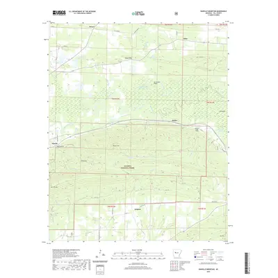 2020 Danville Mountain2020 Print · USGSYell County's river-and-ridge landscape is captured here during the recent decade, showing the transition from the Petit Jean River bottomlands to the Ouachita National Forest. Researchers can trace local landmarks like New Bethel Cem and the rural communities of Danville, Kingston, and Alpha.
 - 2020 Map of Rover, 2020 Print
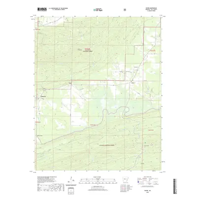 2020 Rover2020 Print · USGSYell County's southern timberlands and valley settlements are shown here in the contemporary era. Researchers can trace family history at the Tate Family Cem or locate rural landmarks in Rover, Wing, and Briggsville.
 - 2020 Map of Plainview, 2020 Print
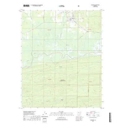 2020 Plainview2020 Print · USGSIn recent decades, this Yell County landscape shows the transition from the grid of Plainview into the southern highlands. Trace family roots at Barnett Chapel Cem or follow the terrain from Wilson Slough up into the Ouachita National Forest.
 - 2020 Map of Nimrod Dam, 2020 Print
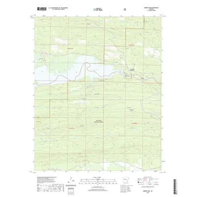 2020 Nimrod Dam2020 Print · USGSThe Perry County highlands and the waters of the Fourche LaFave River meet here in the modern era. Genealogists and local historians can locate the Carter Cem and trace the development of Fourche Junction near the engineering of the Nimrod Dam.
 - 2020 Map of Little Texas, 2020 Print
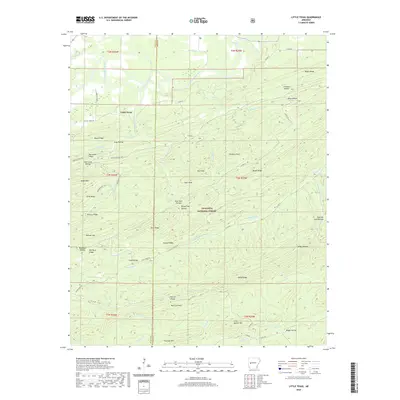 2020 Little Texas2020 Print · USGSThe Ouachita highlands of Scott and Yell County are mapped here in the modern era, showing a landscape of named ridges and deep hollows. Researchers can trace the path of the Million Dollar Hwy or locate family landmarks like L L Simental Ranch and Bread Tray Hollow.
 - 2020 Map of Dardanelle, 2020 Print
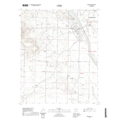 2020 Dardanelle2020 Print · USGSThe Arkansas River corridor at the turn of the decade shows the shared geography of Dardanelle and Russellville. Researchers can trace local heritage through numerous family burial sites like Lyons Cem and landmarks such as the Yell County - Dardanelle Courthouse.
 - 2020 Map of Onyx, 2020 Print
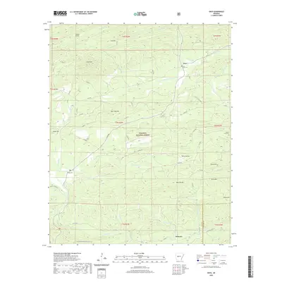 2020 Onyx2020 Print · USGSThe Yell County backcountry comes into focus during this era, showing the intersection of mountain life and the Ouachita National Forest. Genealogists can locate family landmarks such as the Keener Family Cem and the small settlements of Onyx and Aly.
 - 2020 Map of Sims, 2020 Print
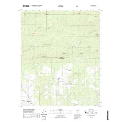 2020 Sims2020 Print · USGSMontgomery County in the early twenty-first century reveals a landscape where the Ouachita River meets the dense timber of the Ouachita National Forest. Genealogists and local historians can trace the rural communities of Sims and Pencil Bluff or locate family sites at Barber Cem and Macedonia Cem.
 - 2020 Map of Fannie, 2020 Print
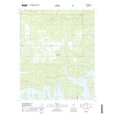 2020 Fannie2020 Print · USGSThe Ouachita National Forest and the jagged northern shores of Lake Ouachita meet in this 2020 study. Researchers can find long-standing rural landmarks like Lee Cem, Breashears Cem, and the quiet settlements of Fannie and Liberty.
 - 2020 Map of Gravelly, 2020 Print
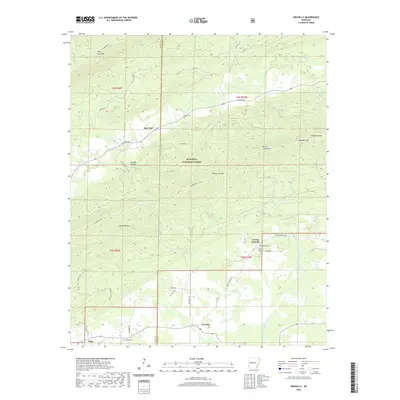 2020 Gravelly2020 Print · USGSThe Scott and Yell County borderlands come into focus here during the early twenty-first century, showing the small communities and mountain gaps of the Ouachita region. Trace family history and rural geography through landmarks like Egypt Cem, Young Gravelly, and the winding Fourche La Fave River.
 - 2020 Map of Chula Mountain, 2020 Print
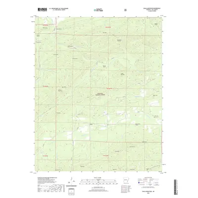 2020 Chula Mountain2020 Print · USGSYell County, Arkansas, remains a landscape of dense timber and high ridges during the early twenty-first century. Genealogists and local historians can trace family ties at Killian Cem or locate legacy landmarks like the Brantley Ranch and Chula.
 - 2020 Map of Steve, 2020 Print
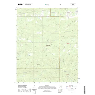 2020 Steve2020 Print · USGSThe northern reaches of the Ouachita Mountains come into focus on this 2020 survey of Yell and Perry counties. Researchers can locate family burial sites at Hames Number 2 Cem and Nooner Cem or trace the early paths around Steve and Dry Fork Mtn.
Showing maps 1-25 of 56
Top cities of Yell County
- Dardanelle historical maps
- Danville historical maps
- Ola historical maps
- Plainview historical maps
- Belleville historical maps
- Havana historical maps
See more
Frequently asked questions
- What are the different types of historical maps available for Yell County?
- What is the oldest map of Yell County?
- Where can I purchase historical maps of Yell County for my home or office?
- Where can I download high-res historical maps of Yell County?
- Are there historical topographic maps available for Yell County?
- Is there historical aerial imagery available for Yell County?
- Where are historical maps of Yell County sourced from?