2000s (21st Century) Maps of Oroville, California
Explore 12 historic maps of Oroville from the 2000s (21st Century). These maps offer a rare glimpse into what life looked like during the 2000s — showing old roads, neighborhoods, homes, and landmarks that have changed or disappeared over time.
Whether you're researching your family's past, planning a metal detecting trip, or studying how Oroville's landscape evolved across the 2000s, these high-resolution maps are a powerful tool for exploring the history of this region.
- Focus on a specific era: All maps on this page are from the 2000s, giving you a focused view of this time period.
- See what’s changed: Compare century-old streets, trails, and buildings to today's modern landscape using overlays and satellite layers.
- Research with precision: Use these maps for genealogy, historical research, land use analysis, or educational projects.
- View, download, or print: Maps are fully viewable online in high resolution, and can be downloaded or printed for your own records.
Start exploring Oroville's history through authentic maps from the 2000s. This is your window into the past.
Oroville, CA maps
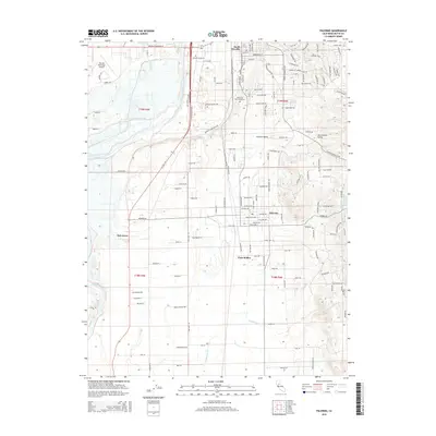
(12)- 2012 Map of Palermo, 2012 Print
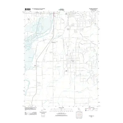 2012 Palermo2012 Print · USGSCovers Oroville, including South Oroville, Palermo, and other nearby areas
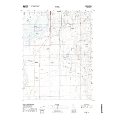
 - 2012 Map of Biggs, 2012 Print
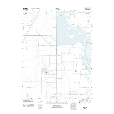 2012 Biggs2012 Print · USGSCovers Oroville, including Biggs, Peachton, and other nearby areas
 - 2012 Map of Oroville, 2012 Print
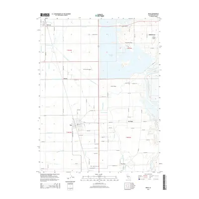
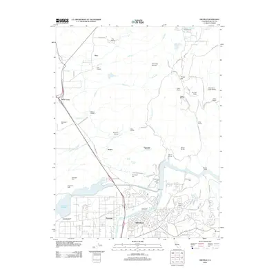 2012 Oroville2012 Print · USGSCovers Oroville, including Oregon City, Elsey, and other nearby areas
 - 2015 Map of Oroville, 2015 Print
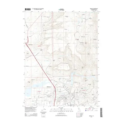 2015 Oroville2015 Print · USGSCovers Oroville, including Oregon City, Elsey, and other nearby areas
 - 2015 Map of Biggs, 2015 Print
 2015 Biggs2015 Print · USGSCovers Oroville, including Biggs, Peachton, and other nearby areas
 - 2015 Map of Palermo, 2015 Print
 2015 Palermo2015 Print · USGSCovers Oroville, including South Oroville, Palermo, and other nearby areas
 - 2018 Map of Oroville, 2018 Print
 2018 Oroville2018 Print · USGSCovers Oroville, including Oregon City, Elsey, and other nearby areas
 - 2018 Map of Biggs, 2018 Print
 2018 Biggs2018 Print · USGSCovers Oroville, including Biggs, Peachton, and other nearby areas
 - 2018 Map of Palermo, 2018 Print
 2018 Palermo2018 Print · USGSCovers Oroville, including South Oroville, Palermo, and other nearby areas
 - 2021 Map of Biggs, 2021 Print
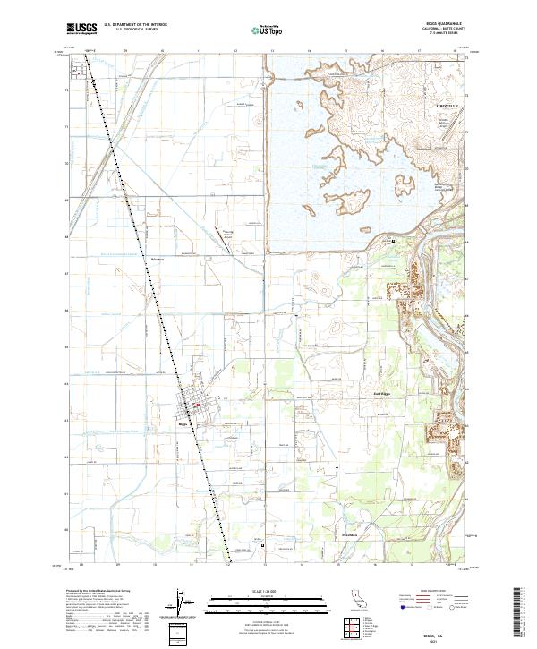 2021 Biggs2021 Print · USGSThe northern Sacramento Valley is captured here in the early twenty-first century, showing a landscape defined by industrial-scale irrigation and rice farming. You can trace local family history through the Old Hamilton Cem or explore the water network of Thermalito Afterbay and Hamilton Slough.
 - 2021 Map of Palermo, 2021 Print
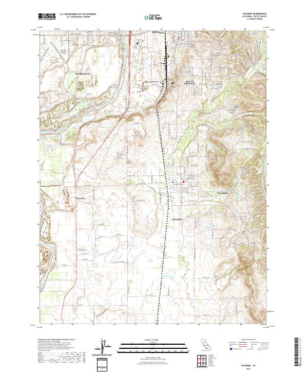 2021 Palermo2021 Print · USGSThe Oroville area and the Feather River corridor are mapped here as they appeared in the early 2020s. Researchers can trace modern residential development and infrastructure through Palermo, Vista Robles, and the Oroville Municipal Airport.
 - 2022 Map of Oroville, 2022 Print
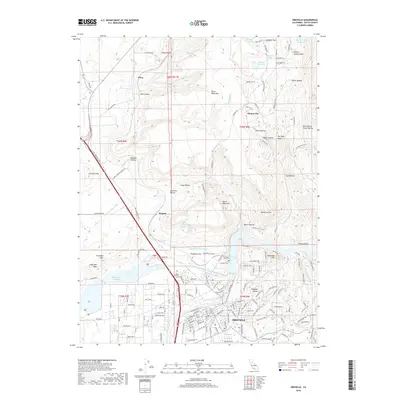
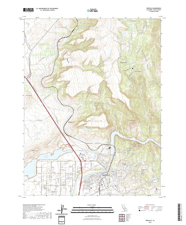 2022 Oroville2022 Print · USGSThe northern Sacramento Valley foothills around the Feather River are captured here in the early twenty-first century. Researchers can trace historic sites like Oregon City, the Butte County Courthouse, and the old Pioneer Cem.
End of results
Showing maps 1-12 of 12
Top cities near Oroville
- Chico historical maps
- Live Oak historical maps
- Gridley historical maps
- Durham historical maps
- Biggs historical maps
Frequently asked questions
- What are the different types of historical maps available for Oroville?
- What is the oldest map of Oroville?
- Where can I purchase historical maps of Oroville for my home or office?
- Where can I download high-res historical maps of Oroville?
- Are there historical topographic maps available for Oroville?
- Is there historical aerial imagery available for Oroville?
- Where are historical maps of Oroville sourced from?