Old Maps of Glenn County, California
Explore 114 old maps of Glenn County, spanning from 1888 to today. These high-resolution historic maps reveal how streets, neighborhoods, landmarks, and natural features evolved over time — perfect for genealogy, metal detecting, research, and local history exploration.
What you can do with these maps:
- See how Glenn County changed over time: Compare historical maps to modern-day views to trace roads, homesites, rail lines & more.
- View detailed metadata: Each map includes creators, publishers, year, scale, and archive source.
- Overlay maps with satellite & LiDAR: Visualize the past alongside modern tools to explore terrain & human change.
- Trusted historical sources: Maps sourced from the USGS, Library of Congress, and other archives.
- Access maps your way: View online, download high-res files, or order prints for personal or research use.
Start exploring old maps of Glenn County to uncover forgotten places, hidden landmarks, and the deep history beneath your feet.
Glenn County, CA maps
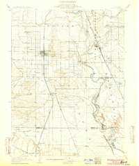
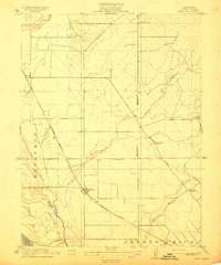
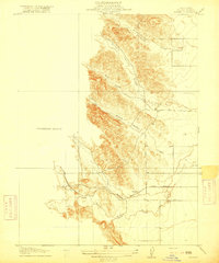
(114)- 1888 Map of Marysville
 1888 Marysville1888 Print · USGSCovers Glenn County, including Yuba City, Linda, and other nearby areas
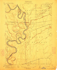
 - 1891 Map of Chico
 1891 Chico1891 Print · USGSCovers Glenn County, including Chico, Oroville, and other nearby areas
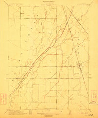
 - 1891 Map of Marysville
 1891 Marysville1891 Print · USGSCovers Glenn County, including Yuba City, Linda, and other nearby areas
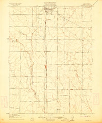
 - 1893 Map of Chico
 1893 Chico1893 Print · USGSCovers Glenn County, including Chico, Oroville, and other nearby areas
 - 1894 Map of Marysville
 1894 Marysville1894 Print · USGSCovers Glenn County, including Yuba City, Linda, and other nearby areas
 - 1895 Map of Marysville
 1895 Marysville1895 Print · USGSCovers Glenn County, including Yuba City, Linda, and other nearby areas6 unique versions available
 - 1895 Map of Chico
 1895 Chico1895 Print · USGSCovers Glenn County, including Chico, Oroville, and other nearby areas8 unique versions available
 - 1904 Map of Vina
 1904 Vina1904 Print · USGSCovers Glenn County, including Corning, Los Molinos, and other nearby areas3 unique versions available
 - 1904 Map of Walker Creek
 1904 Walker Creek1904 Print · USGSCovers Glenn County, including United States, California, and other nearby areas
 - 1904 Map of Logan Creek, 1956 Print
 1904 Logan Creek1956 Print · USGSCovers Glenn County, including Colusa County, United States, and other nearby areas2 unique versions available
 - 1906 Map of Maxwell
 1906 Maxwell1906 Print · USGSCovers Glenn County, including Willows, Maxwell, and other nearby areas3 unique versions available
 - 1906 Map of Willows
 1906 Willows1906 Print · USGSCovers Glenn County, including Willows, Mills Orchard, and other nearby areas2 unique versions available
 - 1911 Map of Landlow
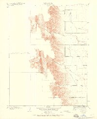
 1911 Landlow1911 Print · USGSCovers Glenn County, including Butte County, United States, and other nearby areas
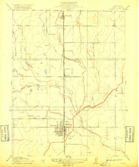
 - 1912 Map of Butte City
 1912 Butte City1912 Print · USGSCovers Glenn County, including Butte City, Afton, and other nearby areas2 unique versions available
 - 1912 Map of Nord
 1912 Nord1912 Print · USGSCovers Glenn County, including Chico, Cana, and other nearby areas2 unique versions available
 - 1912 Map of Chico Landing
 1912 Chico Landing1912 Print · USGSCovers Glenn County, including Chico, Durham, and other nearby areas2 unique versions available
 - 1912 Map of Nelson
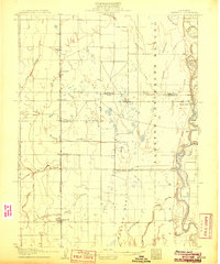
 1912 Nelson1912 Print · USGSCovers Glenn County, including Durham, Nelson, and other nearby areas2 unique versions available
 - 1912 Map of Newhard
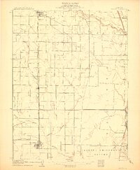
 1912 Newhard1912 Print · USGSCovers Glenn County, including Durham, Rancho Llano Seco, and other nearby areas
 - 1914 Map of Kirkwood
 1914 Kirkwood1914 Print · USGSCovers Glenn County, including Wyo, Kirkwood, and other nearby areas
 - 1914 Map of Orland
 1914 Orland1914 Print · USGSCovers Glenn County, including Grapit, Orland, and other nearby areas
 - 1914 Map of Hamilton
 1914 Hamilton1914 Print · USGSCovers Glenn County, including Mills Orchard, Hamilton City, and other nearby areas
 - 1914 Map of McIntosh Landing
 1914 McIntosh Landing1914 Print · USGSCovers Glenn County, including Capay, Butte County, and other nearby areas
 - 1917 Map of Kurand
 1917 Kurand1917 Print · USGSCovers Glenn County, including United States, California, and other nearby areas3 unique versions available
 - 1917 Map of Lyman
 1917 Lyman1917 Print · USGSCovers Glenn County, including Willows, Bluegum, and other nearby areas2 unique versions available
 - 1917 Map of Jacinto
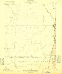 1917 Jacinto1917 Print · USGSCovers Glenn County, including Glenn, Jacinto, and other nearby areas2 unique versions available
Showing maps 1-25 of 114
Top cities of Glenn County
Frequently asked questions
- What are the different types of historical maps available for Glenn County?
- What is the oldest map of Glenn County?
- Where can I purchase historical maps of Glenn County for my home or office?
- Where can I download high-res historical maps of Glenn County?
- Are there historical topographic maps available for Glenn County?
- Is there historical aerial imagery available for Glenn County?
- Where are historical maps of Glenn County sourced from?