2020s Maps of Imperial County, California
Explore 92 historic maps of Imperial County from the 2020s. These maps offer a rare glimpse into what life looked like during the 2020s — showing old roads, neighborhoods, homes, and landmarks that have changed or disappeared over time.
Whether you're researching your family's past, planning a metal detecting trip, or studying how Imperial County's landscape evolved across the 2020s, these high-resolution maps are a powerful tool for exploring the history of this region.
- Focus on a specific era: All maps on this page are from the 2020s, giving you a focused view of this time period.
- See what’s changed: Compare century-old streets, trails, and buildings to today's modern landscape using overlays and satellite layers.
- Research with precision: Use these maps for genealogy, historical research, land use analysis, or educational projects.
- View, download, or print: Maps are fully viewable online in high resolution, and can be downloaded or printed for your own records.
Start exploring Imperial County's history through authentic maps from the 2020s. This is your window into the past.
Imperial County, CA maps
(92)- 2021 Map of Cibola, 2021 Print
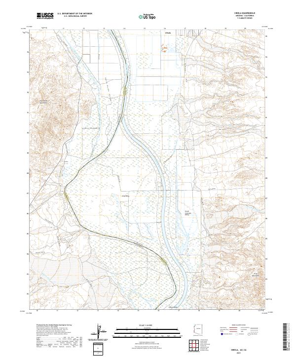 2021 Cibola2021 Print · USGSCovers Imperial County, including La Paz County, United States, and other nearby areas
 - 2021 Map of Laguna Dam, 2021 Print
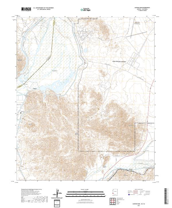 2021 Laguna Dam2021 Print · USGSCovers Imperial County, including Kinter, Kool Corner, and other nearby areas
 - 2021 Map of Red Hill SW, 2021 Print
 2021 Red Hill SW2021 Print · USGSCovers Imperial County, including La Paz County, Yuma County, and other nearby areas
 - 2021 Map of Yuma West, 2021 Print
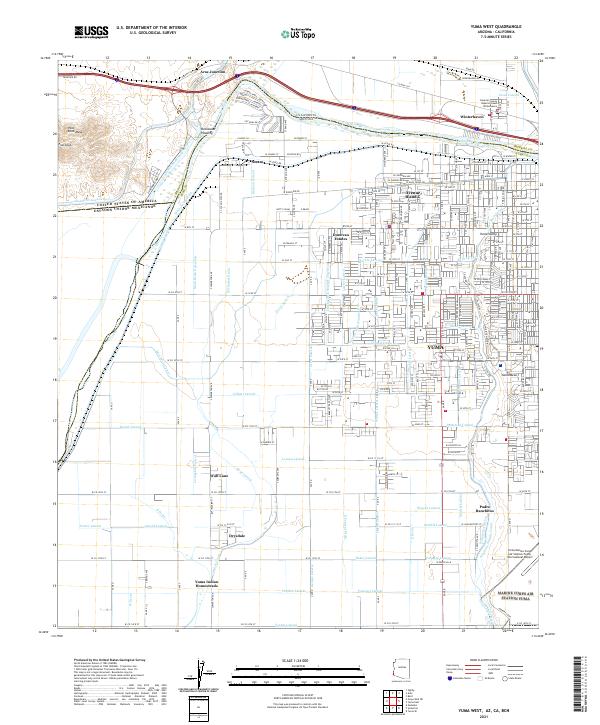 2021 Yuma West2021 Print · USGSCovers Imperial County, including Yuma, Los Algodones, and other nearby areas
 - 2021 Map of Yuma East, 2021 Print
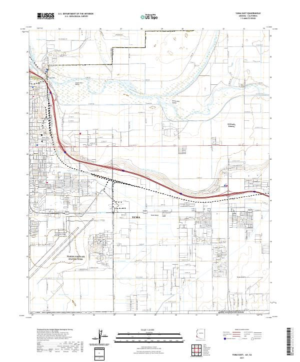 2021 Yuma East2021 Print · USGSCovers Imperial County, including Yuma, El Prado Estates, and other nearby areas
 - 2021 Map of Araz, 2021 Print
 2021 Araz2021 Print · USGSCovers Imperial County, including Araz, United States, and other nearby areas
 - 2021 Map of Clyde, 2021 Print
 2021 Clyde2021 Print · USGSCovers Imperial County, including United States, California, and other nearby areas
 - 2021 Map of Hedges, 2021 Print
 2021 Hedges2021 Print · USGSCovers Imperial County, including United States, California, and other nearby areas
 - 2021 Map of Picacho Peak, 2021 Print
 2021 Picacho Peak2021 Print · USGSCovers Imperial County, including United States, California, and other nearby areas
 - 2021 Map of Grays Well, 2021 Print
 2021 Grays Well2021 Print · USGSCovers Imperial County, including Ejido Mérida, Villa Hermosa, and other nearby areas
 - 2021 Map of Grays Well NE, 2021 Print
 2021 Grays Well NE2021 Print · USGSCovers Imperial County, including Ciudad Morelos (Cuervos), La Panga, and other nearby areas
 - 2021 Map of Cactus, 2021 Print
 2021 Cactus2021 Print · USGSCovers Imperial County, including United States, California, and other nearby areas
 - 2021 Map of Calexico, 2021 Print
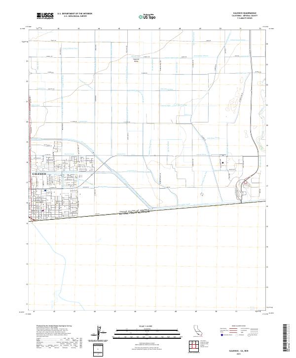 2021 Calexico2021 Print · USGSCovers Imperial County, including Mexicali, Calexico, and other nearby areas
 - 2021 Map of Bard, 2021 Print
 2021 Bard2021 Print · USGSCovers Imperial County, including Ross Corner, Bard, and other nearby areas
 - 2021 Map of Glamis SE, 2021 Print
 2021 Glamis SE2021 Print · USGSCovers Imperial County, including United States, California, and other nearby areas
 - 2021 Map of Glamis NW, 2021 Print
 2021 Glamis NW2021 Print · USGSCovers Imperial County, including United States, California, and other nearby areas
 - 2021 Map of Alamorio, 2021 Print
 2021 Alamorio2021 Print · USGSCovers Imperial County, including Curlew, Moss, and other nearby areas
 - 2021 Map of Mount Signal, 2021 Print
 2021 Mount Signal2021 Print · USGSCovers Imperial County, including Mount Signal, Municipio de Mexicali, and other nearby areas
 - 2021 Map of Plaster City, 2021 Print
 2021 Plaster City2021 Print · USGSCovers Imperial County, including Dixieland, Dixieland, and other nearby areas
 - 2021 Map of Heber, 2021 Print
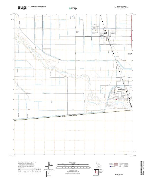 2021 Heber2021 Print · USGSCovers Imperial County, including Santa Isabel, Calexico, and other nearby areas
 - 2021 Map of Glamis SW, 2021 Print
 2021 Glamis SW2021 Print · USGSCovers Imperial County, including United States, California, and other nearby areas
 - 2021 Map of Bonds Corner, 2021 Print
 2021 Bonds Corner2021 Print · USGSCovers Imperial County, including Bonds Corner, Municipio de Mexicali, and other nearby areas
 - 2021 Map of Glamis, 2021 Print
 2021 Glamis2021 Print · USGSCovers Imperial County, including Glamis, United States, and other nearby areas
 - 2021 Map of Brawley NW, 2021 Print
 2021 Brawley NW2021 Print · USGSCovers Imperial County, including United States, California, and other nearby areas
 - 2021 Map of Carrizo Mountain NE, 2021 Print
 2021 Carrizo Mountain NE2021 Print · USGSCovers Imperial County, including San Diego County, United States, and other nearby areas
Showing maps 1-25 of 92
Top cities of Imperial County
- El Centro historical maps
- Calexico historical maps
- Brawley historical maps
- Imperial historical maps
- Calipatria historical maps
- Holtville historical maps
See more
Frequently asked questions
- What are the different types of historical maps available for Imperial County?
- What is the oldest map of Imperial County?
- Where can I purchase historical maps of Imperial County for my home or office?
- Where can I download high-res historical maps of Imperial County?
- Are there historical topographic maps available for Imperial County?
- Is there historical aerial imagery available for Imperial County?
- Where are historical maps of Imperial County sourced from?