2010s Maps of Imperial County, California
Explore 276 historic maps of Imperial County from the 2010s. These maps offer a rare glimpse into what life looked like during the 2010s — showing old roads, neighborhoods, homes, and landmarks that have changed or disappeared over time.
Whether you're researching your family's past, planning a metal detecting trip, or studying how Imperial County's landscape evolved across the 2010s, these high-resolution maps are a powerful tool for exploring the history of this region.
- Focus on a specific era: All maps on this page are from the 2010s, giving you a focused view of this time period.
- See what’s changed: Compare century-old streets, trails, and buildings to today's modern landscape using overlays and satellite layers.
- Research with precision: Use these maps for genealogy, historical research, land use analysis, or educational projects.
- View, download, or print: Maps are fully viewable online in high resolution, and can be downloaded or printed for your own records.
Start exploring Imperial County's history through authentic maps from the 2010s. This is your window into the past.
Imperial County, CA maps
(276)- 2011 Map of Cibola, 2011 Print
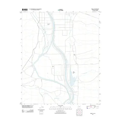 2011 Cibola2011 Print · USGSThe Colorado River borderlands in the early 2000s reveal a landscape of desert washes and riparian lakes along the California-Arizona line. Historians can trace the rural layout of Cibola and the expansive boundaries of the Yuma Proving Ground near Cibola Lake.
 - 2011 Map of Laguna Dam, 2011 Print
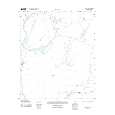 2011 Laguna Dam2011 Print · USGSThe Lower Colorado River desert is defined by its massive water projects and isolated settlements in the early twenty-first century. Researchers can trace irrigation networks like the All-American Canal and locate sites like Laguna Cemetery or Kool Corner.
 - 2011 Map of Yuma East, 2011 Print
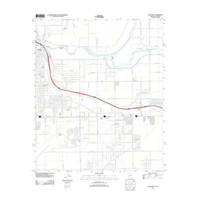 2011 Yuma East2011 Print · USGSYuma at the start of the twenty-first century reveals a desert landscape shaped by the Colorado River and a complex network of irrigation canals. Researchers can trace the development of the South Gila Valley or locate family sites at Yuma Cemetery and Araby.
 - 2011 Map of Imperial Reservoir, 2011 Print
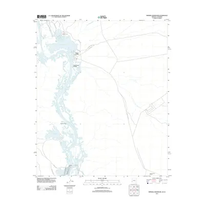 2011 Imperial Reservoir2011 Print · USGSThe Colorado River and its sprawling reservoirs dominate this 2011 survey of the Arizona-California borderlands. Researchers can trace local landmarks like Fishers Landing, the military presence at Laguna Army Airfield, and the waters of Senator Wash Reservoir.
 - 2011 Map of Yuma West, 2011 Print
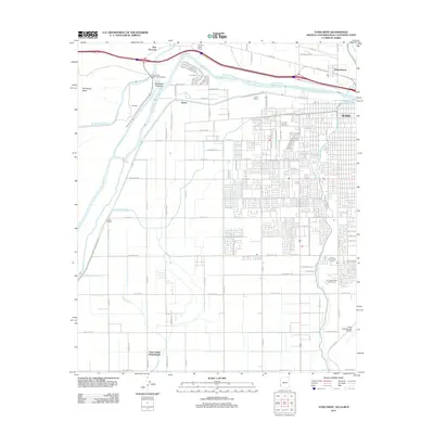 2011 Yuma West2011 Print · USGSThe desert frontier near the Colorado River comes to life in this early twenty-first-century survey. Genealogists and local historians can trace the Yuma Indian Homesteads and the historic Old Araz Stage Depot, alongside modern landmarks like Yuma and Winterhaven.
 - 2011 Map of Red Hill SW, 2011 Print
 2011 Red Hill SW2011 Print · USGSThe desert frontier of Imperial County is captured here in the early twenty-first century, showing the intersection of military and natural landscapes. Researchers can trace the paths of McAllister Wash and access routes like Palo Verde Point Rd and Indian Wash Rd.
 - 2012 Map of Midway Well, 2012 Print
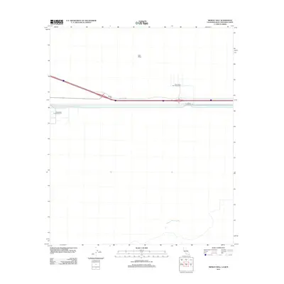 2012 Midway Well2012 Print · USGSMidway Well at the beginning of the twenty-first century reveals a landscape defined by desert transit and industrial utility. Map collectors and researchers can trace the footprint of Experimental Farm Number One and infrastructure like Power Drop Number Two along the Evan Hewes Hwy.
 - 2012 Map of Painted Gorge, 2012 Print
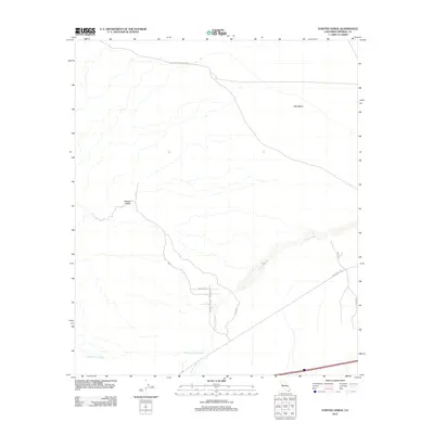 2012 Painted Gorge2012 Print · USGSImperial County's desert floor is revealed in this early twenty-first-century survey, focusing on the arid transition between mesas and canyons. Researchers can follow the historic Old Overland Stage Rte or locate landmarks like Painted Gorge and West Mesa.
 - 2012 Map of Picacho SW, 2012 Print
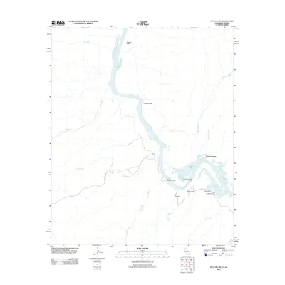 2012 Picacho SW2012 Print · USGSThe Lower Colorado River corridor near the Arizona border is mapped here in the modern era, showing a landscape defined by seasonal washes and riverside settlements. Researchers can locate remote ranch sites and water sources like Nommel Place, Nortons Landing, and Carrizo Spring.
 - 2012 Map of Heber, 2012 Print
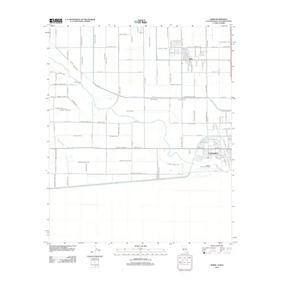 2012 Heber2012 Print · USGSThe California borderlands are seen here during the early twenty-first century, dominated by the massive irrigation systems of the Imperial Valley. Researchers can trace the path of the Central Main Canal and locate landmarks like Heber and the Calexico International Airport.
 - 2012 Map of Thumb Peak, 2012 Print
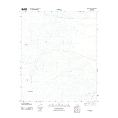 2012 Thumb Peak2012 Print · USGSImperial County's desert landscape is captured here in the early twenty-first century, featuring the prominent southern California heights of Thumb Peak. Trace the historic path of The Bradshaw Trl and locate remote landmarks like Clapp Spring and Coon Hollow.
 - 2012 Map of Mount Signal, 2012 Print
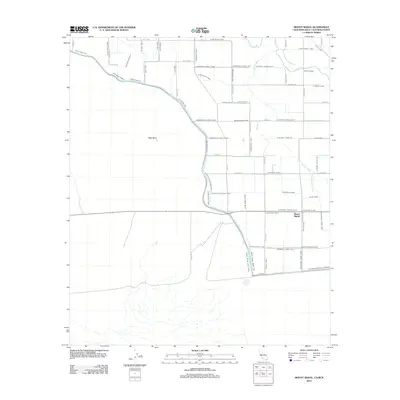 2012 Mount Signal2012 Print · USGSThe Imperial Valley borderlands come into focus in the early 2010s, showing a landscape defined by an intricate desert irrigation grid. Genealogists and local historians can trace the paths of the New River and Worm Wood Canal near Mount Signal.
 - 2012 Map of Glamis SE, 2012 Print
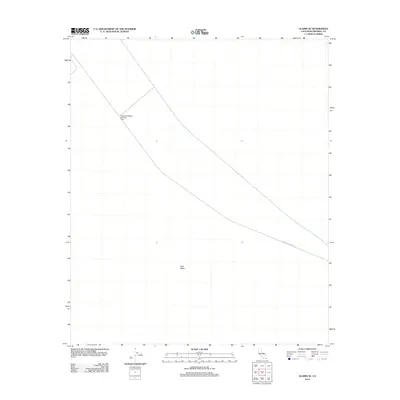 2012 Glamis SE2012 Print · USGSThe arid expanse of East Mesa is captured here in the early twenty-first century, showcasing the essential water infrastructure of the California desert. Trace the engineered path of the Coachella Canal and locate specific maintenance landmarks like Coachella Bridge Number One.
 - 2012 Map of Wiley Well, 2012 Print
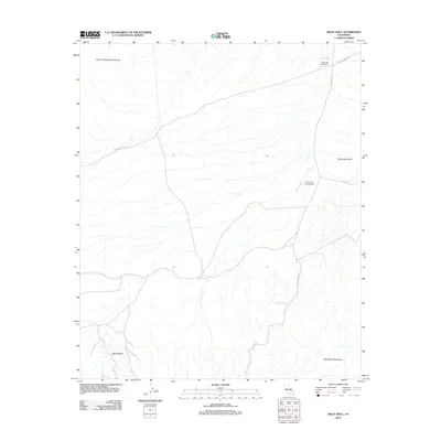 2012 Wiley Well2012 Print · USGSImperial County's desert corridor is shown here in the early twenty-first century, centered on the vital water source of Wiley Well. Researchers can trace old desert routes like The Bradshaw Trl and locate the famous Geode Beds in the southern hills.
 - 2012 Map of Bonds Corner, 2012 Print
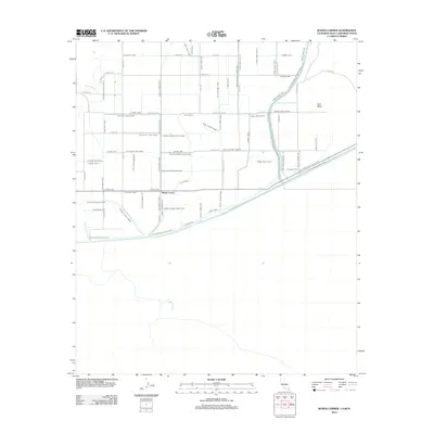 2012 Bonds Corner2012 Print · USGSBonds Corner and the surrounding Imperial Valley landscape are shown here as a highly engineered agricultural hub. Genealogists and historians can trace the network of water infrastructure and rural roads, including Hemlock Canal, Holt Canal, and Vencil Rd.
 - 2012 Map of Picacho NW, 2012 Print
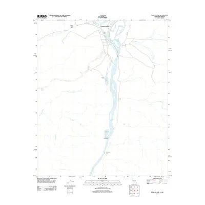 2012 Picacho NW2012 Print · USGSThe Colorado River borderlands in the early twenty-first century reveal a landscape of seasonal camps and desert washes. Researchers can trace the river's path through Cibola Valley to find remote landmarks like Paymaster Landing, Clip Mill, and Lighthouse Rock.
 - 2012 Map of Yuha Basin, 2012 Print
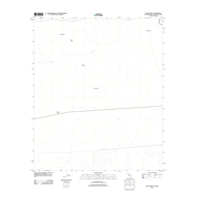 2012 Yuha Basin2012 Print · USGSThe arid borderlands of the Imperial Valley are captured here in the early twenty-first century, showing a landscape defined by wind and water. Trace the geography of the Yuha Desert through landmarks like the Shell Beds, Yuha Buttes, and the sweeping Yuha Wash.
 - 2012 Map of Brawley NW, 2012 Print
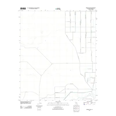 2012 Brawley NW2012 Print · USGSImperial County agriculture is captured in high detail at the start of the 2010s, showing the intricate irrigation system north of Brawley. Researchers can trace the path of the New River or locate rural landmarks like Tamarack Ranch and the Westside Main Canal.
 - 2012 Map of Mount Barrow, 2012 Print
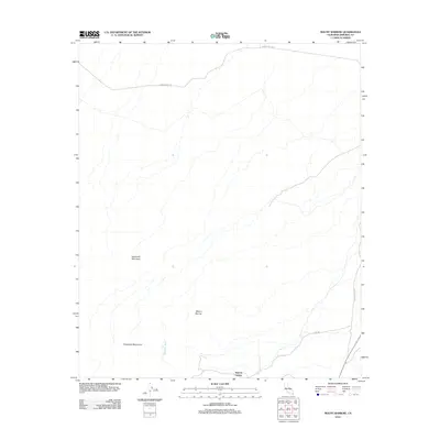 2012 Mount Barrow2012 Print · USGSImperial County's desert floor meets the rising peaks of the Chocolate Mountains in the early twenty-first century. Researchers can trace the network of dry watercourses like Ninemile Wash or locate the small settlement at Imperial Gables.
 - 2012 Map of Holtville East, 2012 Print
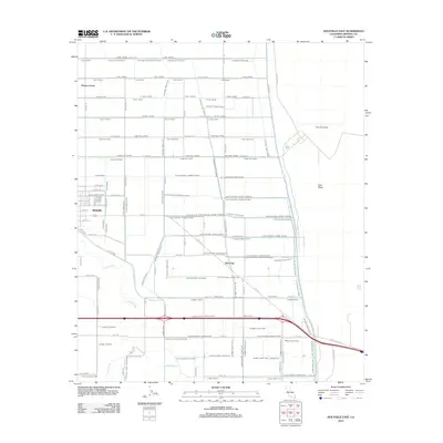 2012 Holtville East2012 Print · USGSImperial County agricultural life is captured here in the early 2010s, showing the complex web of irrigation that sustains this desert valley. Genealogists and local historians can trace the development of Holtville, Date City, and the Watton Labor Camp among the numerous canals and drains.
 - 2012 Map of Brawley, 2012 Print
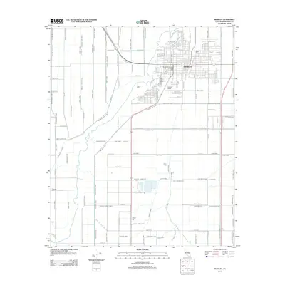 2012 Brawley2012 Print · USGSBrawley and the surrounding Imperial Valley are shown in the early 2000s, revealing a landscape defined by industrial agriculture and a complex irrigation network. Genealogists and historians can locate Riverview Cem, the Brawley City Water Works, and rail-linked points like Grape Siding.
 - 2012 Map of Buzzards Peak, 2012 Print
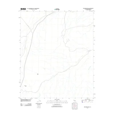 2012 Buzzards Peak2012 Print · USGSImperial County's desert floor and drainage patterns are documented here in the early twenty-first century. Researchers can trace the path of Vinagre Wash through Gold Basin and locate the elevation of Buzzards Peak near Blythe Ogilby Rd.
 - 2012 Map of Picacho, 2012 Print
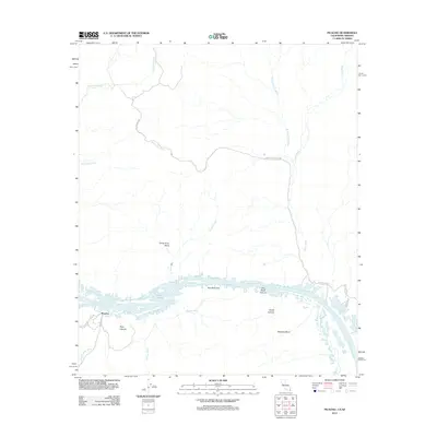 2012 Picacho2012 Print · USGSThe Colorado River borderlands come into focus in 2012, showing the desert terrain between Imperial County and the Arizona state line. Researchers can trace the winding river through Cane Break Canyon and locate local landmarks like the Red Cloud Mine and Island Lake.
 - 2012 Map of Holtville NE, 2012 Print
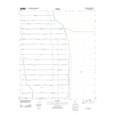 2012 Holtville NE2012 Print · USGSImperial County's desert agricultural landscape is shown here in the early twenty-first century, revealing an intensive irrigation grid. Researchers can trace the sophisticated water systems of the Holtville Main Drain and named channels like the Orient Lateral or Orita Lateral.
 - 2012 Map of Quartz Peak, 2012 Print
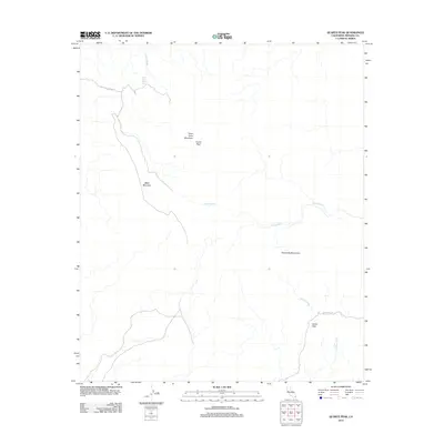 2012 Quartz Peak2012 Print · USGSThe high desert of Imperial County is documented here during the early 2010s, showing the intersection of drainage washes and volcanic peaks. You can trace the routes through the Chocolate Mountains via Indian Pass and locate the Peter Kane Water Hole.
Showing maps 1-25 of 276
Top cities of Imperial County
- El Centro historical maps
- Calexico historical maps
- Brawley historical maps
- Imperial historical maps
- Calipatria historical maps
- Holtville historical maps
See more
Frequently asked questions
- What are the different types of historical maps available for Imperial County?
- What is the oldest map of Imperial County?
- Where can I purchase historical maps of Imperial County for my home or office?
- Where can I download high-res historical maps of Imperial County?
- Are there historical topographic maps available for Imperial County?
- Is there historical aerial imagery available for Imperial County?
- Where are historical maps of Imperial County sourced from?