1930s Maps of Los Angeles County, California
Explore 145 historic maps of Los Angeles County from the 1930s. These maps offer a rare glimpse into what life looked like during the 1930s — showing old roads, neighborhoods, homes, and landmarks that have changed or disappeared over time.
Whether you're researching your family's past, planning a metal detecting trip, or studying how Los Angeles County's landscape evolved across the 1930s, these high-resolution maps are a powerful tool for exploring the history of this region.
- Focus on a specific era: All maps on this page are from the 1930s, giving you a focused view of this time period.
- See what’s changed: Compare century-old streets, trails, and buildings to today's modern landscape using overlays and satellite layers.
- Research with precision: Use these maps for genealogy, historical research, land use analysis, or educational projects.
- View, download, or print: Maps are fully viewable online in high resolution, and can be downloaded or printed for your own records.
Start exploring Los Angeles County's history through authentic maps from the 1930s. This is your window into the past.
Los Angeles County, CA maps
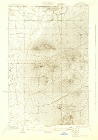
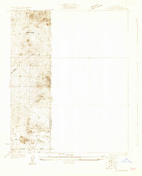
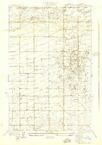
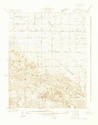
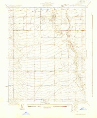
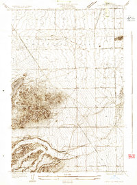
(145)- 1930 Map of Oban
 1930 Oban1930 Print · USGSCovers Los Angeles County, including Lancaster, United States, and other nearby areas
 - 1930 Map of Joshua
 1930 Joshua1930 Print · USGSCovers Los Angeles County, including United States, California, and other nearby areas
 - 1930 Map of Lovejoy Springs
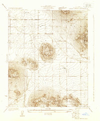 1930 Lovejoy Springs1930 Print · USGSCovers Los Angeles County, including Wilsona Gardens, Lake Los Angeles, and other nearby areas
 - 1930 Map of Black Butte
 1930 Black Butte1930 Print · USGSCovers Los Angeles County, including United States, California, and other nearby areas
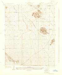
 - 1930 Map of Roosevelt School
 1930 Roosevelt School1930 Print · USGSCovers Los Angeles County, including Lancaster, Roosevelt, and other nearby areas
 - 1930 Map of El Mirage
 1930 El Mirage1930 Print · USGSCovers Los Angeles County, including El Mirage, San Bernardino County, and other nearby areas
 - 1930 Map of Compton
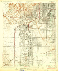
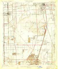 1930 Compton1930 Print · USGSCovers Los Angeles County, including Los Angeles, Long Beach, and other nearby areas2 unique versions available
 - 1930 Map of Little Rock
 1930 Little Rock1930 Print · USGSCovers Los Angeles County, including Palmdale, Pearblossom, and other nearby areas
 - 1930 Map of Llano
 1930 Llano1930 Print · USGSCovers Los Angeles County, including Llano, Lake Los Angeles, and other nearby areas
 - 1930 Map of Casa Desierta
 1930 Casa Desierta1930 Print · USGSCovers Los Angeles County, including Redman, United States, and other nearby areas
 - 1930 Map of Ravenna
 1930 Ravenna1930 Print · USGSCovers Los Angeles County, including Ravenna, United States, and other nearby areas
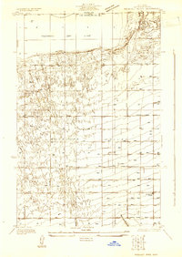
 - 1930 Map of Inglewood
 1930 Inglewood1930 Print · USGSCovers Los Angeles County, including Los Angeles, Inglewood, and other nearby areas
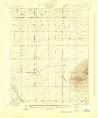
 - 1930 Map of Lancaster
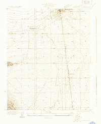 1930 Lancaster1930 Print · USGSCovers Los Angeles County, including Palmdale, Lancaster, and other nearby areas
 - 1930 Map of Pearland
 1930 Pearland1930 Print · USGSCovers Los Angeles County, including Palmdale, Pearland, and other nearby areas
 - 1930 Map of West Alpine Butte
 1930 West Alpine Butte1930 Print · USGSCovers Los Angeles County, including Palmdale, Lancaster, and other nearby areas
 - 1930 Map of Angle
 1930 Angle1930 Print · USGSCovers Los Angeles County, including Piñon Hills, El Mirage, and other nearby areas
 - 1930 Map of Wilsona
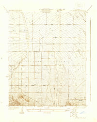
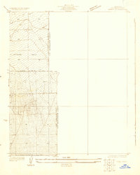
 1930 Wilsona1930 Print · USGSCovers Los Angeles County, including United States, California, and other nearby areas
 - 1930 Map of Tierra Bonita, 1933 Print
 1930 Tierra Bonita1933 Print · USGSCovers Los Angeles County, including Palmdale, Lancaster, and other nearby areas
 - 1931 Map of Red Mountain
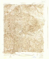
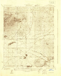
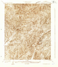 1931 Red Mountain1931 Print · USGSCovers Los Angeles County, including United States, California, and other nearby areas
 - 1931 Map of Whitaker Peak
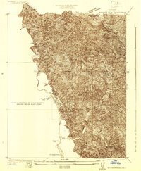 1931 Whitaker Peak1931 Print · USGSCovers Los Angeles County, including Ventura County, United States, and other nearby areas
 - 1931 Map of Warm Spring
 1931 Warm Spring1931 Print · USGSCovers Los Angeles County, including Lake Hughes, United States, and other nearby areas
 - 1931 Map of Little Buttes
 1931 Little Buttes1931 Print · USGSCovers Los Angeles County, including Lancaster, United States, and other nearby areas
 - 1931 Map of Santa Felicia Canyon
 1931 Santa Felicia Canyon1931 Print · USGSCovers Los Angeles County, including Piru, Camulos, and other nearby areas
 - 1931 Map of Adobe
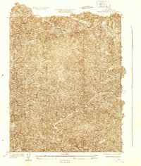
 1931 Adobe1931 Print · USGSCovers Los Angeles County, including Houze Place, San Bernardino County, and other nearby areas
 - 1931 Map of Castaic
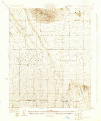
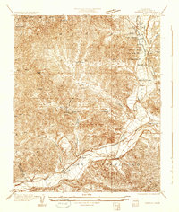 1931 Castaic1931 Print · USGSCovers Los Angeles County, including Santa Clarita, Val Verde, and other nearby areas
Showing maps 1-25 of 145
Top cities of Los Angeles County
- Los Angeles historical maps
- Long Beach historical maps
- Glendale historical maps
- Santa Clarita historical maps
- Pomona historical maps
- Palmdale historical maps
See more
Frequently asked questions
- What are the different types of historical maps available for Los Angeles County?
- What is the oldest map of Los Angeles County?
- Where can I purchase historical maps of Los Angeles County for my home or office?
- Where can I download high-res historical maps of Los Angeles County?
- Are there historical topographic maps available for Los Angeles County?
- Is there historical aerial imagery available for Los Angeles County?
- Where are historical maps of Los Angeles County sourced from?