2000s (21st Century) Maps of Los Angeles, California
Explore 85 historic maps of Los Angeles from the 2000s (21st Century). These maps offer a rare glimpse into what life looked like during the 2000s — showing old roads, neighborhoods, homes, and landmarks that have changed or disappeared over time.
Whether you're researching your family's past, planning a metal detecting trip, or studying how Los Angeles's landscape evolved across the 2000s, these high-resolution maps are a powerful tool for exploring the history of this region.
- Focus on a specific era: All maps on this page are from the 2000s, giving you a focused view of this time period.
- See what’s changed: Compare century-old streets, trails, and buildings to today's modern landscape using overlays and satellite layers.
- Research with precision: Use these maps for genealogy, historical research, land use analysis, or educational projects.
- View, download, or print: Maps are fully viewable online in high resolution, and can be downloaded or printed for your own records.
Start exploring Los Angeles's history through authentic maps from the 2000s. This is your window into the past.
Los Angeles, CA maps
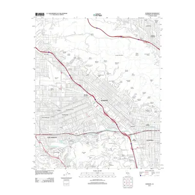
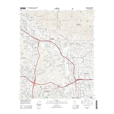
(85)- 2012 Map of Pasadena, 2012 Print
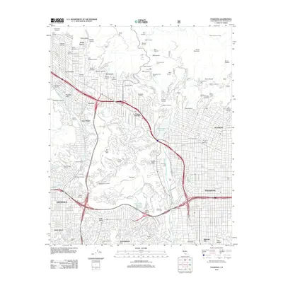 2012 Pasadena2012 Print · USGSCovers Los Angeles, including Glendale, Pasadena, and other nearby areas
 - 2012 Map of San Fernando, 2012 Print
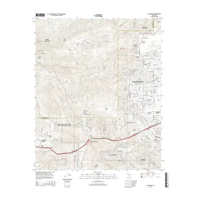
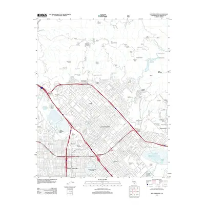 2012 San Fernando2012 Print · USGSCovers Los Angeles, including Santa Clarita, San Fernando, and other nearby areas
 - 2012 Map of Condor Peak, 2012 Print
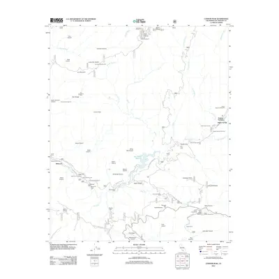 2012 Condor Peak2012 Print · USGSCovers Los Angeles, including Glendale, Pasadena, and other nearby areas
 - 2012 Map of Long Beach OE S, 2012 Print
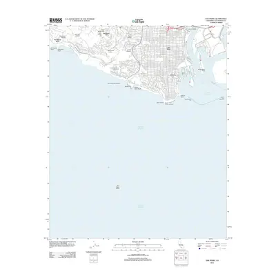
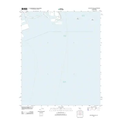 2012 Long Beach OE S2012 Print · USGSCovers Los Angeles, including Long Beach, Seal Beach, and other nearby areas
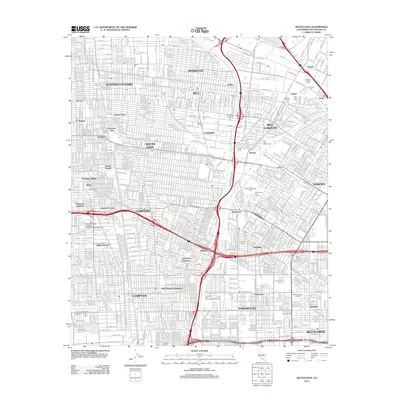
 - 2012 Map of Burbank, 2012 Print
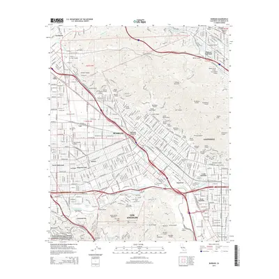
 2012 Burbank2012 Print · USGSCovers Los Angeles, including Glendale, Burbank, and other nearby areas
 - 2012 Map of South Gate, 2012 Print
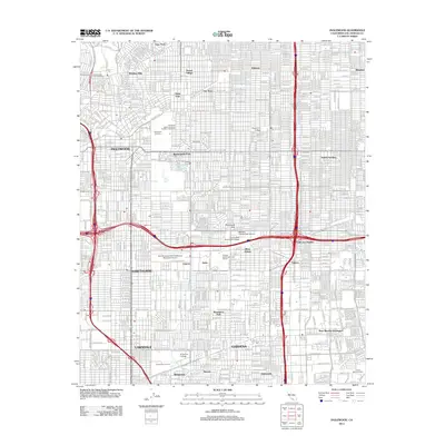
 2012 South Gate2012 Print · USGSCovers Los Angeles, including Long Beach, Downey, and other nearby areas
 - 2012 Map of Oat Mountain, 2012 Print
 2012 Oat Mountain2012 Print · USGSCovers Los Angeles, including Santa Clarita, Deer Lake Highlands, and other nearby areas
 - 2012 Map of Torrance, 2012 Print
 2012 Torrance2012 Print · USGSCovers Los Angeles, including Torrance, Carson, and other nearby areas
 - 2012 Map of Hollywood, 2012 Print
 2012 Hollywood2012 Print · USGSCovers Los Angeles, including Glendale, Culver City, and other nearby areas
 - 2012 Map of Beverly Hills, 2012 Print
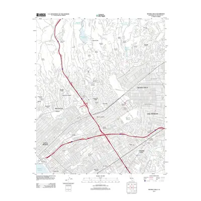 2012 Beverly Hills2012 Print · USGSCovers Los Angeles, including Santa Monica, Culver City, and other nearby areas
 - 2012 Map of Simi Valley East, 2012 Print
 2012 Simi Valley East2012 Print · USGSCovers Los Angeles, including Simi Valley, Unincorporated Chatsworth, and other nearby areas
 - 2012 Map of Topanga, 2012 Print
 2012 Topanga2012 Print · USGSCovers Los Angeles, including Santa Monica, Malibu, and other nearby areas
 - 2012 Map of Van Nuys, 2012 Print
 2012 Van Nuys2012 Print · USGSCovers Los Angeles, including Los Angeles County, United States, and other nearby areas
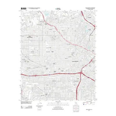
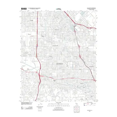
 - 2012 Map of Los Angeles, 2012 Print
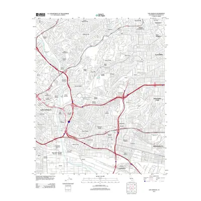 2012 Los Angeles2012 Print · USGSCovers Los Angeles, including Glendale, Pasadena, and other nearby areas
 - 2012 Map of Sunland, 2012 Print
 2012 Sunland2012 Print · USGSCovers Los Angeles, including Glendale, Lopez/Kagel Canyons, and other nearby areas
 - 2012 Map of Canoga Park, 2012 Print
 2012 Canoga Park2012 Print · USGSCovers Los Angeles, including Calabasas, Top O' Topanga, and other nearby areas
 - 2012 Map of Calabasas, 2012 Print
 2012 Calabasas2012 Print · USGSCovers Los Angeles, including Simi Valley, Calabasas, and other nearby areas
 - 2012 Map of San Pedro, 2012 Print
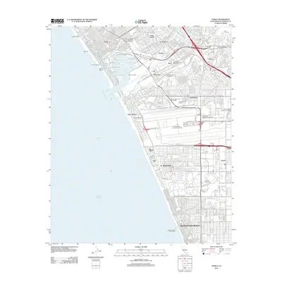
 2012 San Pedro2012 Print · USGSCovers Los Angeles, including Rancho Palos Verdes, Rolling Hills, and other nearby areas
 - 2012 Map of Inglewood, 2012 Print
 2012 Inglewood2012 Print · USGSCovers Los Angeles, including Torrance, Inglewood, and other nearby areas
 - 2012 Map of Venice, 2012 Print
 2012 Venice2012 Print · USGSCovers Los Angeles, including Inglewood, Santa Monica, and other nearby areas
 - 2012 Map of Long Beach, 2012 Print
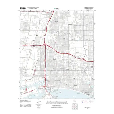 2012 Long Beach2012 Print · USGSCovers Los Angeles, including Long Beach, Compton, and other nearby areas
 - 2015 Map of Pasadena, 2015 Print
 2015 Pasadena2015 Print · USGSCovers Los Angeles, including Glendale, Pasadena, and other nearby areas
 - 2015 Map of Calabasas, 2015 Print
 2015 Calabasas2015 Print · USGSCovers Los Angeles, including Simi Valley, Calabasas, and other nearby areas
 - 2015 Map of Burbank, 2015 Print
 2015 Burbank2015 Print · USGSCovers Los Angeles, including Glendale, Burbank, and other nearby areas
 - 2015 Map of Oat Mountain, 2015 Print
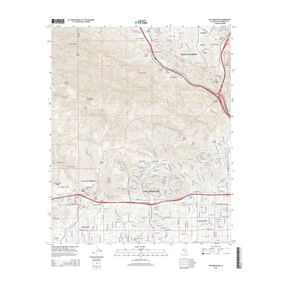 2015 Oat Mountain2015 Print · USGSCovers Los Angeles, including Santa Clarita, Deer Lake Highlands, and other nearby areas
Showing maps 1-25 of 85
Top cities near Los Angeles
- Long Beach historical maps
- Glendale historical maps
- Torrance historical maps
- Pasadena historical maps
- Simi Valley historical maps
- Inglewood historical maps
See more
Top neighborhoods of Los Angeles
- Pacific Palisades historical maps
- Harbor Pines historical maps
- Dana Strand Village historical maps
- Los Angeles Eco Village historical maps
- Thenard historical maps
- Studio City Neighborhood Council District historical maps
See more
Frequently asked questions
- What are the different types of historical maps available for Los Angeles?
- What is the oldest map of Los Angeles?
- Where can I purchase historical maps of Los Angeles for my home or office?
- Where can I download high-res historical maps of Los Angeles?
- Are there historical topographic maps available for Los Angeles?
- Is there historical aerial imagery available for Los Angeles?
- Where are historical maps of Los Angeles sourced from?