2000s (21st Century) Maps of Palmdale, California
Explore 32 historic maps of Palmdale from the 2000s (21st Century). These maps offer a rare glimpse into what life looked like during the 2000s — showing old roads, neighborhoods, homes, and landmarks that have changed or disappeared over time.
Whether you're researching your family's past, planning a metal detecting trip, or studying how Palmdale's landscape evolved across the 2000s, these high-resolution maps are a powerful tool for exploring the history of this region.
- Focus on a specific era: All maps on this page are from the 2000s, giving you a focused view of this time period.
- See what’s changed: Compare century-old streets, trails, and buildings to today's modern landscape using overlays and satellite layers.
- Research with precision: Use these maps for genealogy, historical research, land use analysis, or educational projects.
- View, download, or print: Maps are fully viewable online in high resolution, and can be downloaded or printed for your own records.
Start exploring Palmdale's history through authentic maps from the 2000s. This is your window into the past.
Palmdale, CA maps
(32)- 2012 Map of Littlerock, 2012 Print
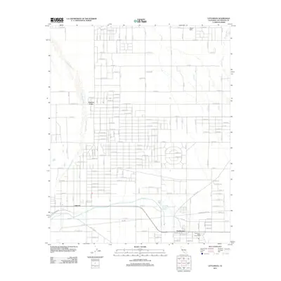 2012 Littlerock2012 Print · USGSThe high desert communities of Littlerock and Pearblossom are shown here during a period of modern growth and agricultural stability. Researchers can trace the massive California Aqueduct or locate local landmarks like Alpine Butte.
 - 2012 Map of Alpine Butte, 2012 Print
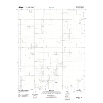 2012 Alpine Butte2012 Print · USGSIn the high desert north of Palmdale during the early 2010s, this survey reveals a landscape of geometric road grids and isolated desert peaks. Researchers can trace the layout of small settlements like Redman and Antelope Center or locate the namesake Alpine Butte.
 - 2012 Map of Palmdale, 2012 Print
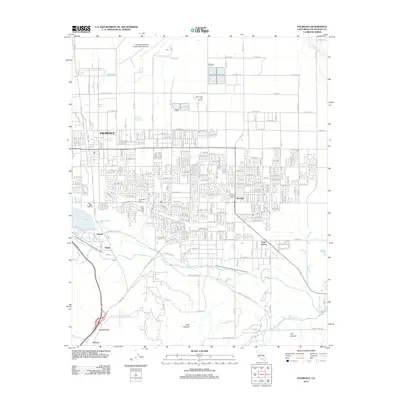 2012 Palmdale2012 Print · USGSPalmdale and the Antelope Valley are captured here in the early 2010s as urban expansion meets the High Desert foothills. Researchers can trace the layout of Pearland, Harold, and Vincent or locate local landmarks like the Palmdale Cem and Una Lake.
 - 2012 Map of Lancaster West, 2012 Print
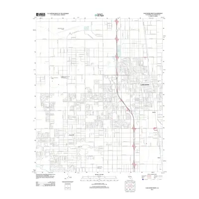 2012 Lancaster West2012 Print · USGSThe high desert community of Lancaster in the early twenty-first century is captured here during a time of steady suburban growth. Researchers can trace local landmarks and infrastructure like Quartz Hill, Lancaster Cem, and the General Wm J Fox Airfield.
 - 2012 Map of Ritter Ridge, 2012 Print
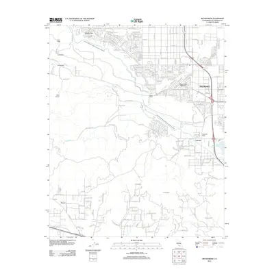 2012 Ritter Ridge2012 Print · USGSThe Antelope Valley's urban expansion meets the high desert foothills in this contemporary survey of the Palmdale region. Map collectors and historians can trace essential infrastructure like the California Aqueduct alongside local landmarks like Lake Palmdale and Messer Ranch.
 - 2012 Map of Lancaster East, 2012 Print
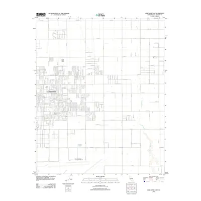 2012 Lancaster East2012 Print · USGSAntelope Valley enters a period of modern suburban growth and aerospace activity during this early 2010s survey. Researchers can trace development around Lancaster and Roosevelt, or locate significant landmarks like Sterks Ranch Airport and Joshua Memorial Park.
 - 2012 Map of Del Sur, 2012 Print
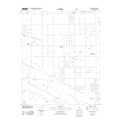 2012 Del Sur2012 Print · USGSAntelope Valley in the early 2010s shows a mix of desert aviation, agriculture, and high-altitude ranching. Researchers can trace land use patterns from Bohunks Airpark and Del Sur to family-named sites like the Eric Munz Ranch.
 - 2012 Map of Sleepy Valley, 2012 Print
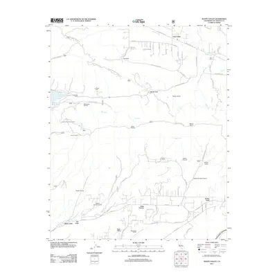 2012 Sleepy Valley2012 Print · USGSLeona Valley and the northern Sierra Pellona slopes are captured in the early 2010s as a landscape of rural retreats and mountain lookouts. Genealogists and local historians can trace family properties like Ritter Ranch and find aviation landmarks like Agua Dulce Airpark.
 - 2015 Map of Palmdale, 2015 Print
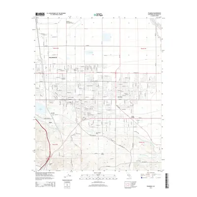 2015 Palmdale2015 Print · USGSPalmdale and the Antelope Valley are captured here during a period of sustained urban expansion and industrial prominence. Researchers can trace the path of the San Andreas Fault near Lake Palmdale and locate local landmarks like the Palmdale Cemetery.
 - 2015 Map of Lancaster West, 2015 Print
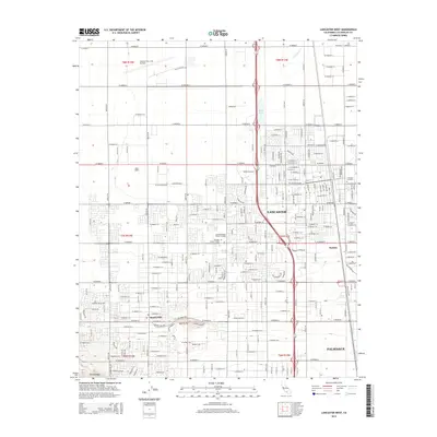 2015 Lancaster West2015 Print · USGSThe Antelope Valley in the mid-2010s shows a dense grid of expansion stretching from Lancaster to Palmdale. Genealogists and local historians can trace landmarks like Lancaster Cemetery, Antelope Valley College, and the General Wm J Fox Airfield.
 - 2015 Map of Lancaster East, 2015 Print
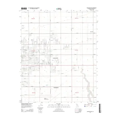 2015 Lancaster East2015 Print · USGSAntelope Valley's desert landscape shows a period of significant urban layout and aerospace activity in the mid-2010s. Researchers can trace development patterns around Lancaster, the expanse of Air Force Plant 42, and the path of the Little Rock Wash.
 - 2015 Map of Sleepy Valley, 2015 Print
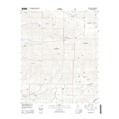 2015 Sleepy Valley2015 Print · USGSThe high desert communities near Palmdale are shown in great detail during the mid-2010s, where residential pockets meet the national forest. Researchers can locate the Agua Dulce Airport, trace the San Andreas Fault, or follow the Pacific Crest National Scenic Trail through the Sierra Pelona range.
 - 2015 Map of Del Sur, 2015 Print
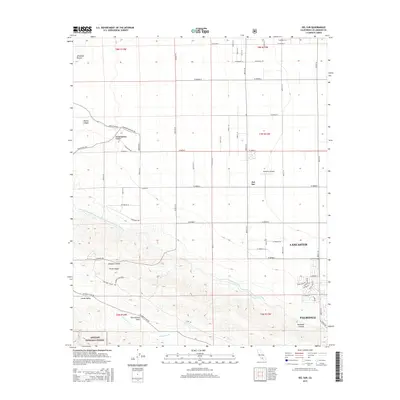 2015 Del Sur2015 Print · USGSThe High Desert outskirts of Los Angeles County appear in this mid-2010s survey, where the San Andreas Fault meets the Antelope Valley floor. Researchers can trace the path of the California Aqueduct and locate rural landmarks like Bohunk's Airpark and Del Sur.
 - 2015 Map of Alpine Butte, 2015 Print
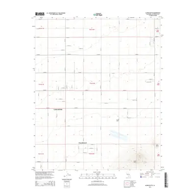 2015 Alpine Butte2015 Print · USGSThe eastern edges of the Antelope Valley come into focus in 2015 as the desert grid expands toward the foothills. Local researchers can trace the growth of Lancaster and Palmdale alongside landmarks like Alpine Butte and Rock Cr.
 - 2015 Map of Littlerock, 2015 Print
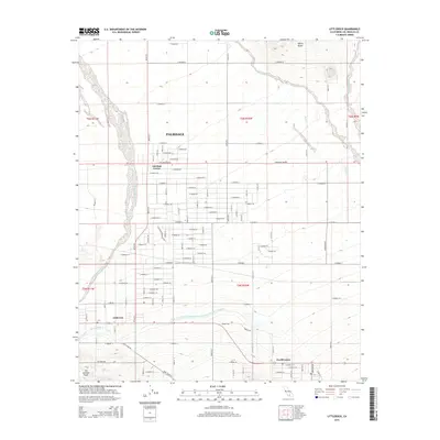 2015 Littlerock2015 Print · USGSThe Antelope Valley near Palmdale is captured here as its desert grid and modern water infrastructure expanded toward the foothills. Researchers can trace the path of the San Andreas Fault and locate community landmarks in Littlerock and Pearblossom.
 - 2015 Map of Ritter Ridge, 2015 Print
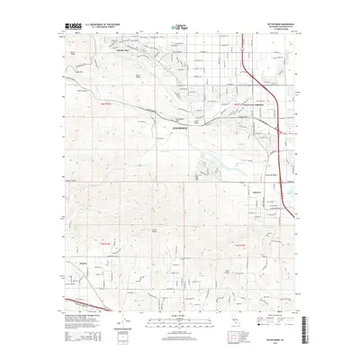 2015 Ritter Ridge2015 Print · USGSPalmdale and the Antelope Valley foothills are captured here in the mid-2010s, showing the intersection of suburban growth and massive infrastructure. Trace the San Andreas Fault across the landscape or locate the Governor Edmund G Brown East Branch California Aqueduct and Lakeview.
 - 2018 Map of Ritter Ridge, 2018 Print
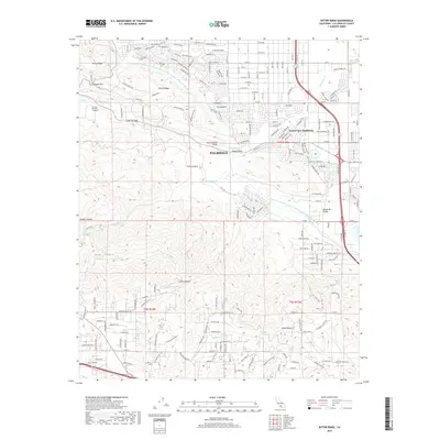 2018 Ritter Ridge2018 Print · USGSPalmdale and the Antelope Valley foothills are captured here in the late twenty-teens, showing where desert development meets the San Andreas Fault. Local historians can trace the paths of the California Aqueduct and the rural roads of Leona Valley and Desert View Highlands.
 - 2018 Map of Alpine Butte, 2018 Print
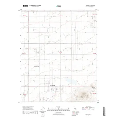 2018 Alpine Butte2018 Print · USGSThe eastern edges of Palmdale and Lancaster meet the high desert in the late 2010s as suburban grids expand toward Alpine Butte. Researchers can trace the development of the Antelope Valley through features like Rocky Buttes and the Antelope Hwy.
 - 2018 Map of Littlerock, 2018 Print
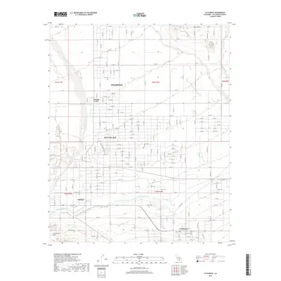 2018 Littlerock2018 Print · USGSThe high desert of Los Angeles County is captured in this modern survey of the Antelope Valley. Researchers can trace the path of the San Andreas Fault and locate established communities like Littlerock and Pearblossom along the aqueduct.
 - 2018 Map of Del Sur, 2018 Print
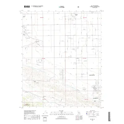 2018 Del Sur2018 Print · USGSThe Antelope Valley's high desert landscape meets the San Gabriel foothills during a period of modern expansion. Researchers can trace the path of the San Andreas Fault as it parallels Portal Ridge near Antelope Acres and Leona Valley.
 - 2018 Map of Sleepy Valley, 2018 Print
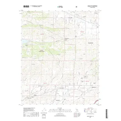 2018 Sleepy Valley2018 Print · USGSThe high desert country of northern Los Angeles County is captured here in the late 2010s, where the San Andreas Fault shapes the mountain landscape. Researchers can trace the path of the Pacific Crest National Scenic Trail as it passes through Leona Valley and Agua Dulce.
 - 2018 Map of Palmdale, 2018 Print
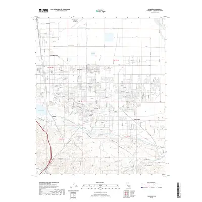 2018 Palmdale2018 Print · USGSPalmdale and the High Desert are shown here in the late 2010s, where aerospace industry meets the geological rift of the San Andreas Fault. Trace local history through the Palmdale Cem or follow the path of the California Aqueduct.
 - 2018 Map of Lancaster East, 2018 Print
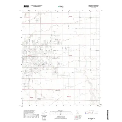 2018 Lancaster East2018 Print · USGSThe Antelope Valley's urban and industrial expansion is on full display in this 2010s study of the high desert. Researchers can trace the massive Palmdale United States Air Force Plant 42 or locate local landmarks like Joshua Memorial Park and the Little Rock Wash.
 - 2018 Map of Lancaster West, 2018 Print
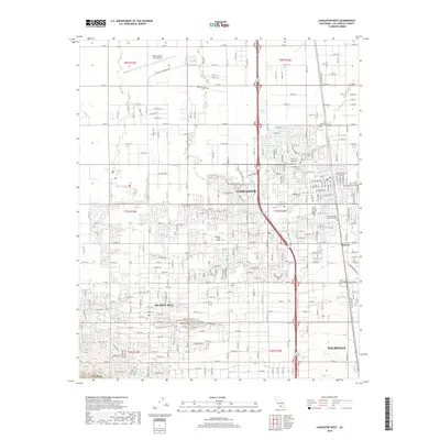 2018 Lancaster West2018 Print · USGSAntelope Valley's urban landscape is shown in detail during the late twenty-tens as the high desert suburbs of Lancaster and Palmdale expanded. Researchers can trace local development around the General Wm J Fox Airfield and the Antelope Valley College campus.
 - 2021 Map of Littlerock, 2021 Print
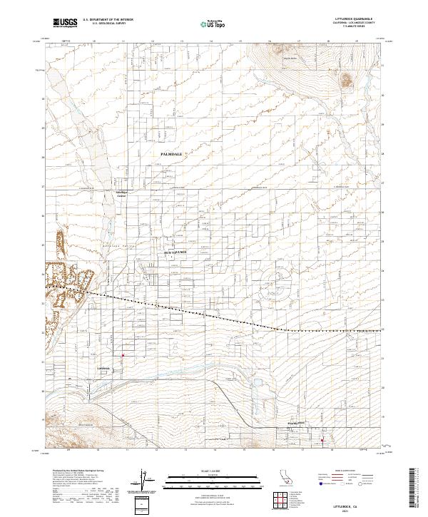 2021 Littlerock2021 Print · USGSThe high desert of Los Angeles County is captured here in the early twenty-first century as suburban growth meets traditional agriculture. Genealogists and historians can trace the local infrastructure around Palmdale, Sun Village, and the vital California Aqueduct.
Showing maps 1-25 of 32
Top cities near Palmdale
Top neighborhoods of Palmdale
Frequently asked questions
- What are the different types of historical maps available for Palmdale?
- What is the oldest map of Palmdale?
- Where can I purchase historical maps of Palmdale for my home or office?
- Where can I download high-res historical maps of Palmdale?
- Are there historical topographic maps available for Palmdale?
- Is there historical aerial imagery available for Palmdale?
- Where are historical maps of Palmdale sourced from?