2020s Maps of Mono County, California
Explore 84 historic maps of Mono County from the 2020s. These maps offer a rare glimpse into what life looked like during the 2020s — showing old roads, neighborhoods, homes, and landmarks that have changed or disappeared over time.
Whether you're researching your family's past, planning a metal detecting trip, or studying how Mono County's landscape evolved across the 2020s, these high-resolution maps are a powerful tool for exploring the history of this region.
- Focus on a specific era: All maps on this page are from the 2020s, giving you a focused view of this time period.
- See what’s changed: Compare century-old streets, trails, and buildings to today's modern landscape using overlays and satellite layers.
- Research with precision: Use these maps for genealogy, historical research, land use analysis, or educational projects.
- View, download, or print: Maps are fully viewable online in high resolution, and can be downloaded or printed for your own records.
Start exploring Mono County's history through authentic maps from the 2020s. This is your window into the past.
Mono County, CA maps
(84)- 2021 Map of Boundary Peak, 2021 Print
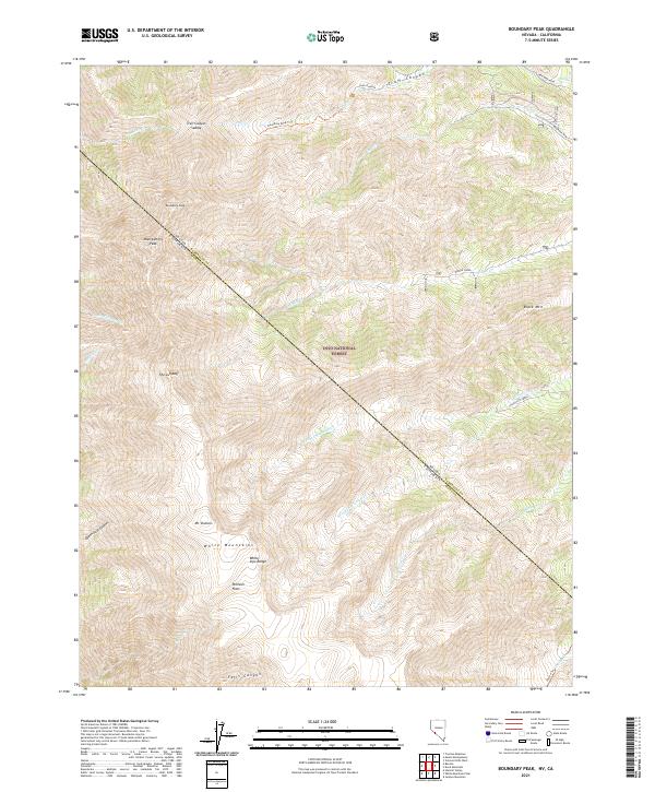 2021 Boundary Peak2021 Print · USGSThe high peaks of the Nevada-California state line are captured here in the early twenty-first century. Researchers can trace historic mining access via B&B Mine Road or locate alpine landmarks like Pellisier Flats and Mt Dubois.
 - 2021 Map of Davis Mountain, 2021 Print
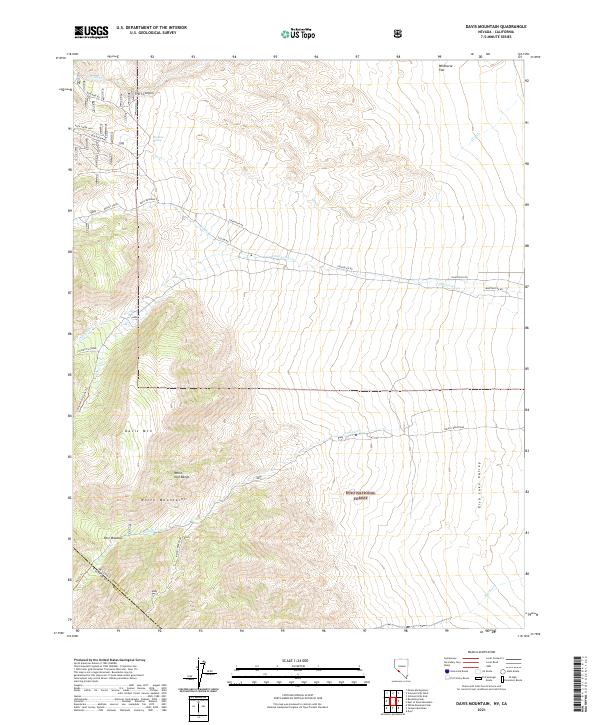 2021 Davis Mountain2021 Print · USGSHigh desert peaks and mining routes define the Nevada-California borderlands in the early twenty-first century. Researchers can trace historic access paths like B&B Mine Rd and locate remote landmarks such as Post Meadow and Red Rock Mine.
 - 2021 Map of Dyer, 2021 Print
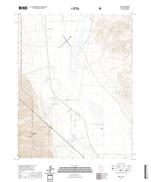 2021 Dyer2021 Print · USGSFish Lake Valley and the high peaks of the Nevada-California border are captured in this recent survey. Researchers can trace the rural layout of Dyer, follow watercourses like McAfee Cr, and locate remote landmarks such as the Circle L Ranch Airport.
 - 2021 Map of Truman Meadows, 2021 Print
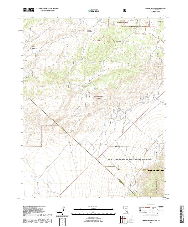 2021 Truman Meadows2021 Print · USGSThe Nevada and California borderlands come into focus in the early 2020s, revealing a landscape of high-altitude basins and remote ranching routes. Researchers can trace the water sources and primitive roads that sustained local activity, from Orchard Spring and McBride Flat to Pedro Ranch Road.
 - 2021 Map of Huntoon Spring, 2021 Print
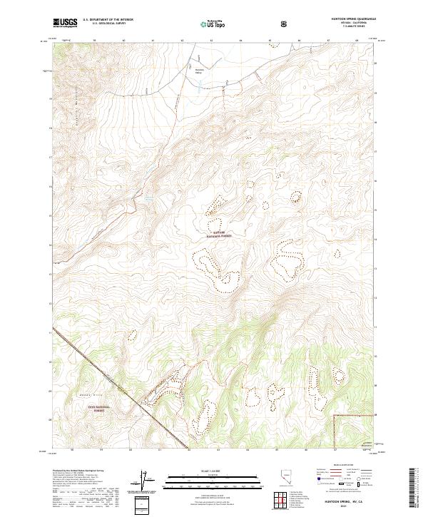 2021 Huntoon Spring2021 Print · USGSHigh desert life in the early twenty-first century centers on the vital Huntoon Spring along the Nevada border. Trace remote mountain access through the Excelsior Mountains using the Huntoon Valley Trl and Sounding Rock Trl.
 - 2021 Map of Anchorite Hills, 2021 Print
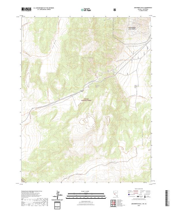 2021 Anchorite Hills2021 Print · USGSMineral County, Nevada, is shown here as it appeared recently, highlighting the junction of the Anchorite Hills and Excelsior Mountains. Researchers can trace old desert routes like the Mark Twain Camp Trl or locate the edge of the Hawthorne Army Depot.
 - 2021 Map of The Elbow, 2021 Print
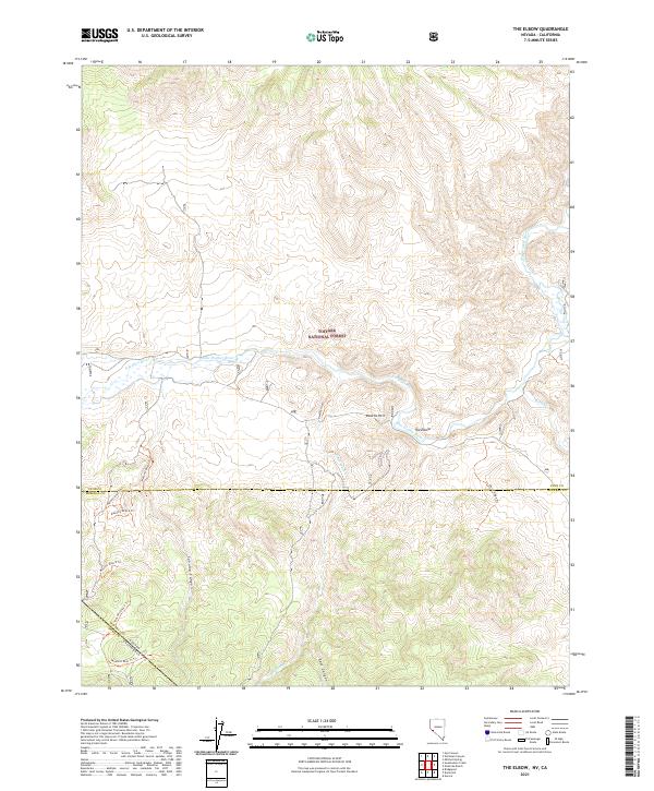 2021 The Elbow2021 Print · USGSRemote borderlands and river bends define this modern survey of the Nevada and California state line. Trace historical transit paths like the Elbow Stage Trl and the Masonic Disp 4 Trl as they navigate Sonoma Canyon and the East Walker River.
 - 2021 Map of Topaz Lake, 2021 Print
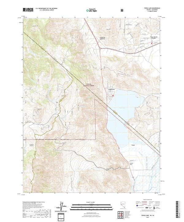 2021 Topaz Lake2021 Print · USGSThe high desert and alpine borderlands of the Nevada-California line come into focus in this recent survey. Local historians can trace the water systems of Topaz Lake and irrigation features like Swager Ditch alongside peaks such as Leviathan Peak.
 - 2021 Map of Desert Creek Peak, 2021 Print
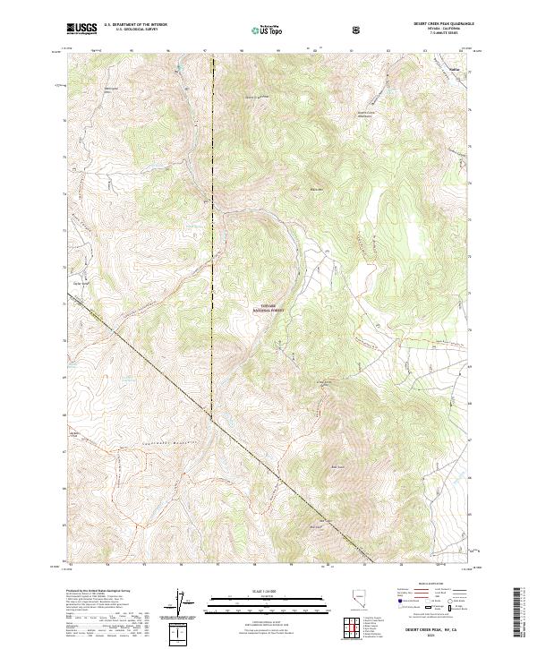 2021 Desert Creek Peak2021 Print · USGSThe high desert mountains along the Nevada and California border are mapped here in the early twenty-first century. Researchers can trace historic access paths like the Rickey Mine Route Trl and Coyote Creek Trl through the Sweetwater Mountains.
 - 2021 Map of Risue Canyon, 2021 Print
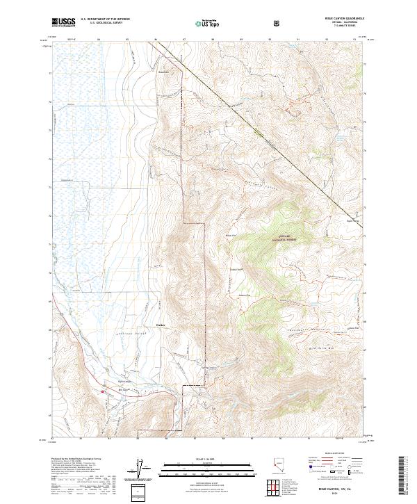 2021 Risue Canyon2021 Print · USGSThe Nevada-California borderlands are captured here in the early twenty-first century as they rise from the Antelope Valley into the Sweetwater Mountains. Researchers can trace the complex irrigation of Walker via the Highline Ditch or follow remote routes like Rickey Trl to Indian Spring.
 - 2021 Map of Long Dry Canyon, 2021 Print
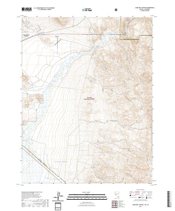 2021 Long Dry Canyon2021 Print · USGSDouglas County and the Nevada-California borderlands are documented here during the early twenty-first century as the high desert valley meets the mountains. Researchers can trace local water rights along the West Walker River and locate the Topaz Ranch Airport and Wellington Hills.
 - 2021 Map of Aurora, 2021 Print
 2021 Aurora2021 Print · USGSCovers Mono County, including Fletcher, Mineral County, and other nearby areas
 - 2021 Map of Sweetwater Creek, 2021 Print
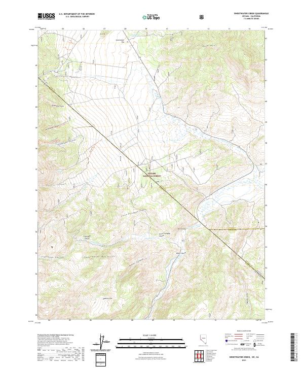 2021 Sweetwater Creek2021 Print · USGSThe high-desert borderlands of Nevada and California are captured here in the early twenty-first century. Researchers can trace land use and natural resources through the Sweetwater Mountains, locating sites like Wedertz Flat, Devils Gate, and Long Doctor Spring.
 - 2021 Map of West of Huntoon Spring, 2021 Print
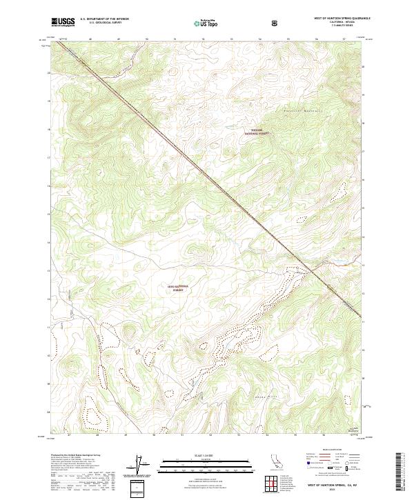 2021 West of Huntoon Spring2021 Print · USGSThe California-Nevada borderlands near Mono County appear here in a modern survey of the high-desert wilderness. Researchers can trace the rugged topography of the Excelsior Mountains and navigate remote routes like the Dobe Meadow 4x4 Trl or Huntoon Valley Trl.
 - 2021 Map of Sulphur Pond, 2021 Print
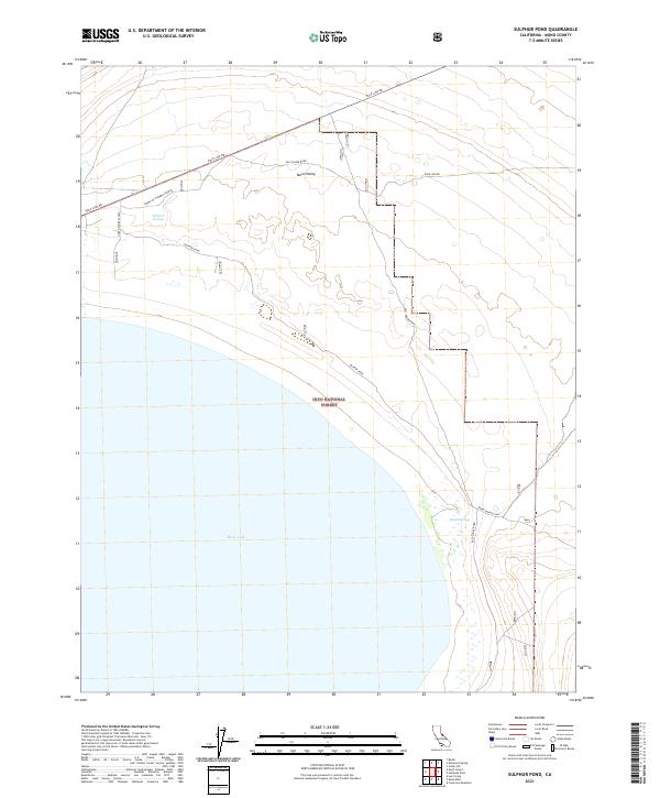 2021 Sulphur Pond2021 Print · USGSThe northeastern shores of Mono Lake come into focus in the early 2020s, showing a landscape defined by desert springs and utility corridors. Researchers can trace remote routes like Pole Line Rd to water sources at Walford Springs and Sulphur Pond.
 - 2021 Map of Cedar Hill, 2021 Print
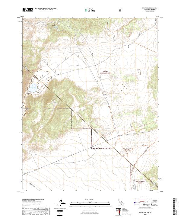 2021 Cedar Hill2021 Print · USGSThe California-Nevada borderlands near Mono County appear here in their modern high-desert character, where the national forests meet the Alkali Valley. Researchers can trace historic backcountry routes and utility corridors like Pole Line Rd, the Mark Twain Camp Trl, and Locklin Lake.
 - 2021 Map of Kirkwood Spring, 2021 Print
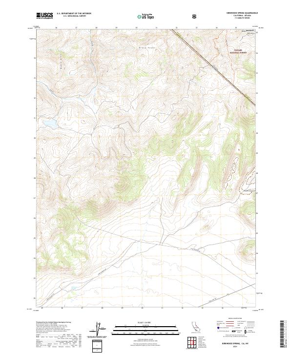 2021 Kirkwood Spring2021 Print · USGSThe high desert of Mono County is documented here at the start of the 2020s, showing the intersection of California and Nevada. Researchers can trace historic mountain routes like Bodie Rd and landmarks such as Kirkwood Spring and Braly Peaks.
 - 2021 Map of Alameda Well, 2021 Print
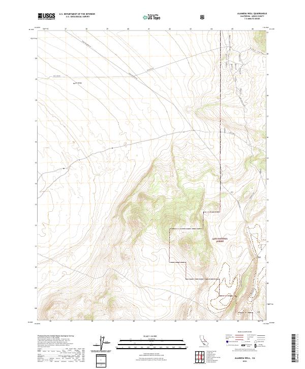 2021 Alameda Well2021 Print · USGSHigh-altitude Mono County territory is documented here in the early twenty-first century, showing the intersection of forest lands and desert basins. Researchers can trace remote routes and access points including Alameda Wells, Deep Cañon, and Pole Line Rd.
 - 2021 Map of Chocolate Mountain, 2021 Print
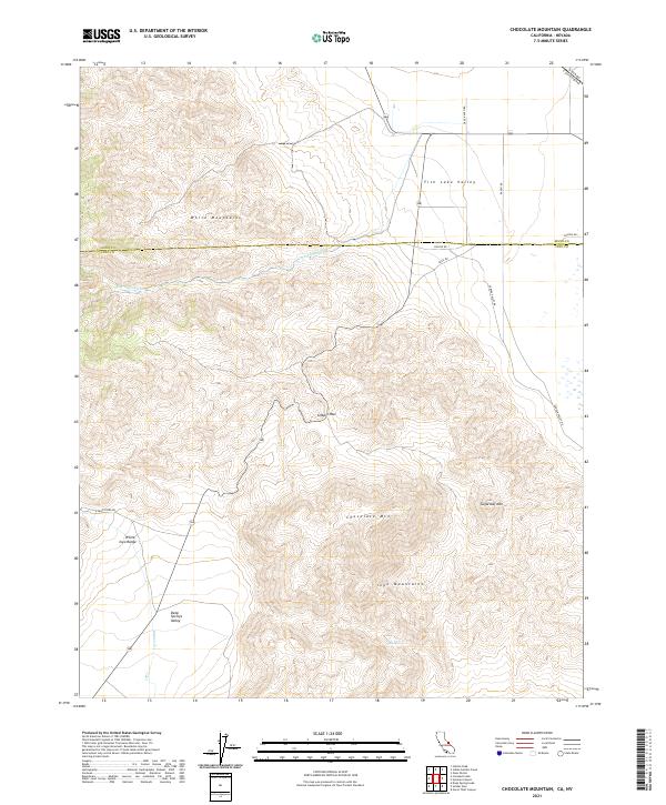 2021 Chocolate Mountain2021 Print · USGSThe high-desert borderlands of California and Nevada are mapped here in the early twenty-first century, showcasing the intersection of the Inyo and White Mountains. Researchers can trace the protected waters of Cottonwood Creek Wild and Scenic River or locate landmarks like Gilbert Pass and Tule Spring.
 - 2021 Map of Sylvania Canyon, 2021 Print
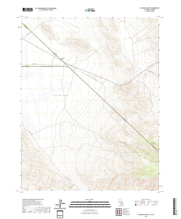 2021 Sylvania Canyon2021 Print · USGSThe California-Nevada borderlands are captured here in the early 2020s, showing a rugged landscape of high-desert basins and peaks. Researchers can trace historic transit and mining routes like Savinion Mining Rd and explore the topography of Sylvania Canyon.
 - 2021 Map of Twin Lakes, 2021 Print
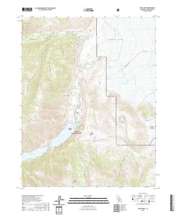 2021 Twin Lakes2021 Print · USGSThe high Sierra Nevada and Bridgeport Valley come alive in this recent survey of eastern California’s mountain terrain. Hikers and historians can trace routes to Buckeye Hot Spring, explore the shores of Twin Lakes, and follow the Hunewill Ranch Road through the high meadows.
 - 2021 Map of Lundy, 2021 Print
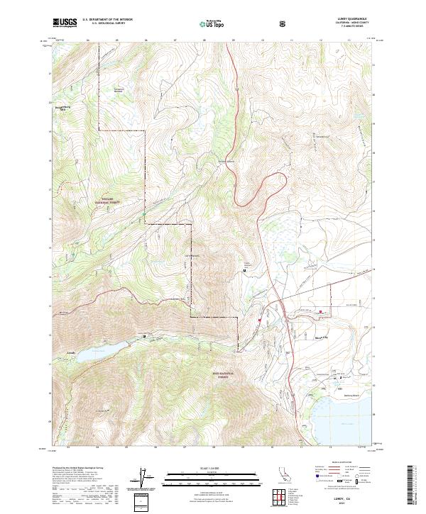 2021 Lundy2021 Print · USGSThe Eastern Sierra highlands meet the Mono Basin in the early 2020s, revealing a landscape of high-altitude mining history and alpine hydrology. Researchers can trace historical footprints at the Dunderberg Mill, several remote burial sites like Copper Mountain Cem, and the old settlement at Lundy.
 - 2021 Map of Bodie, 2021 Print
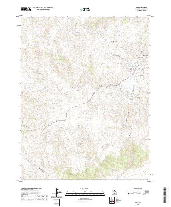 2021 Bodie2021 Print · USGSHigh-elevation mining country in Mono County comes into focus in this modern survey. Researchers can locate the famous town of Bodie and its three distinct cemeteries, Wards Cem, Masonic Cem, and Miners Union Cem.
 - 2021 Map of Mount Patterson, 2021 Print
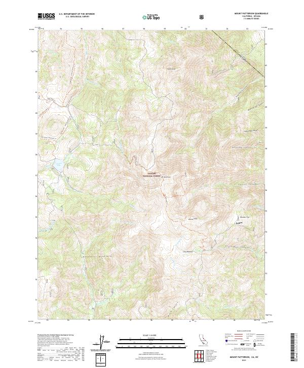 2021 Mount Patterson2021 Print · USGSThe high Sierra peaks of the Nevada-California border are shown in detail as they appeared in 2021. Researchers can trace the high-country landscape near Belfort or follow the path of the Silverado Trl through Silverado Canyon.
 - 2021 Map of Mount Jackson, 2021 Print
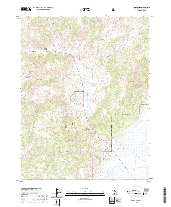 2021 Mount Jackson2021 Print · USGSThe Sweetwater Mountains and the eastern reaches of the Toiyabe National Forest are captured here in the early twenty-first century. Researchers can trace high-altitude routes like Yaney Canyon Trl or locate local landmarks such as Pimentel Meadows and Mt Jackson.
Showing maps 1-25 of 84
Top cities of Mono County
- Mammoth Lakes historical maps
- June Lake historical maps
- Crowley Lake historical maps
- Walker historical maps
- Chalfant Valley historical maps
- Coleville historical maps
See more
Frequently asked questions
- What are the different types of historical maps available for Mono County?
- What is the oldest map of Mono County?
- Where can I purchase historical maps of Mono County for my home or office?
- Where can I download high-res historical maps of Mono County?
- Are there historical topographic maps available for Mono County?
- Is there historical aerial imagery available for Mono County?
- Where are historical maps of Mono County sourced from?