2000s (21st Century) Maps of Mono County, California
Explore 337 historic maps of Mono County from the 2000s (21st Century). These maps offer a rare glimpse into what life looked like during the 2000s — showing old roads, neighborhoods, homes, and landmarks that have changed or disappeared over time.
Whether you're researching your family's past, planning a metal detecting trip, or studying how Mono County's landscape evolved across the 2000s, these high-resolution maps are a powerful tool for exploring the history of this region.
- Focus on a specific era: All maps on this page are from the 2000s, giving you a focused view of this time period.
- See what’s changed: Compare century-old streets, trails, and buildings to today's modern landscape using overlays and satellite layers.
- Research with precision: Use these maps for genealogy, historical research, land use analysis, or educational projects.
- View, download, or print: Maps are fully viewable online in high resolution, and can be downloaded or printed for your own records.
Start exploring Mono County's history through authentic maps from the 2000s. This is your window into the past.
Mono County, CA maps
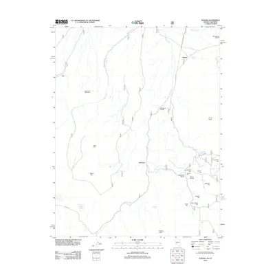
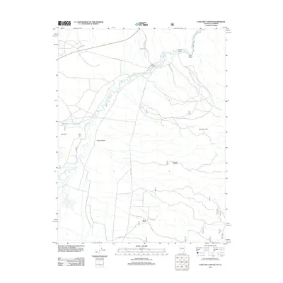
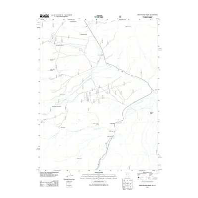
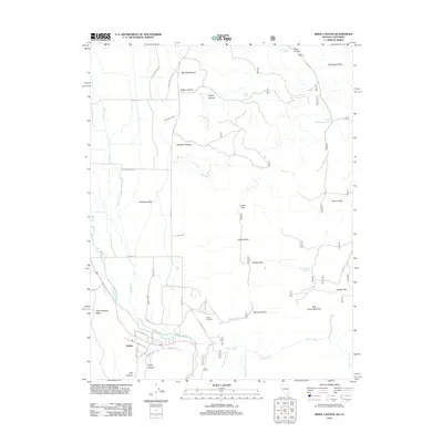
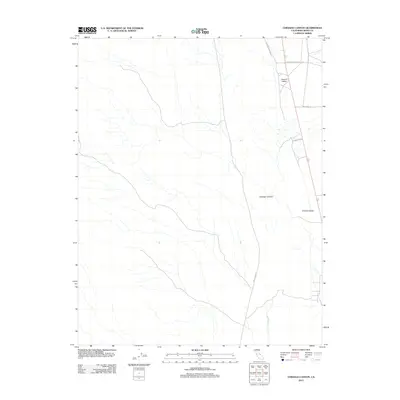
(337)- 2001 Map of Emigrant Lake, 2004 Print
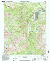
 2001 Emigrant Lake2004 Print · USGSHigh Sierra wilderness at the dawn of the new millennium reveals a pristine landscape where national forests and parklands meet. Trace the historic Corral Spring Trail through the Emigrant Wilderness to landmarks like Sachse Monument and Emigrant Lake.2 unique versions available
 - 2001 Map of Pickel Meadow, 2004 Print
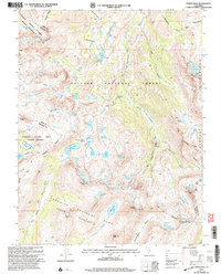
 2001 Pickel Meadow2004 Print · USGSHigh in the Eastern Sierra during the early 2000s, this area remains a vital intersection of military training and wilderness recreation. Trace the route of the Pacific Crest National Scenic Trail past Leavitt Lake and the USMC Mountain Warfare Sch.
 - 2001 Map of Tower Peak, 2004 Print
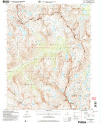
 2001 Tower Peak2004 Print · USGSThe High Sierra wilderness at the turn of the millennium shows a landscape of granite peaks and alpine lakes where major national forests and parks converge. Hikers and historians can trace the Pacific Crest National Scenic Trail past Piute Cabin and the Prospect near Summit Meadow.2 unique versions available
 - 2001 Map of Sonora Pass, 2004 Print
 2001 Sonora Pass2004 Print · USGSHigh Sierra wilderness and the crest of the mountains are captured here at the turn of the millennium. Outdoor historians and hikers can trace the Pacific Crest National Scenic Trail as it passes Sonora Peak and Kennedy Meadow.
 - 2004 Map of Mount Lyell, 2007 Print
 2004 Mount Lyell2007 Print · USGSThe High Sierra near the Yosemite-Madera border is captured here during the early 2000s, showcasing a landscape of glaciers and alpine summits. Trekkers and historians can trace routes through Isberg Pass, locate the Maclure Glacier, or find the source of the Merced River.
 - 2004 Map of Mount Abbot, 2007 Print
 2004 Mount Abbot2007 Print · USGSThe High Sierra at the dawn of the millennium is revealed through this detailed study of the triple-county junction. Hikers and historians can trace traditional routes over Mono Pass and Hopkins Pass or explore the alpine waters of Pioneer Basin and Little Lakes Valley.2 unique versions available
 - 2004 Map of Mt. Ritter, 2007 Print
 2004 Mt. Ritter2007 Print · USGSHigh Sierra crests and alpine basins define this Madera County wilderness at the start of the twenty-first century. Hikers and historians can trace the John Muir Scenic Trail past Thousand Island Lake or locate the site of the Minaret Mine beneath Volcanic Ridge.
 - 2011 Map of Anchorite Hills, 2011 Print
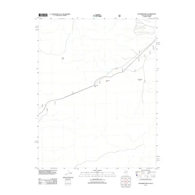 2011 Anchorite Hills2011 Print · USGSCovers Mono County, including Mineral County, United States, and other nearby areas
 - 2012 Map of Aurora, 2012 Print
 2012 Aurora2012 Print · USGSCovers Mono County, including Fletcher, Mineral County, and other nearby areas
 - 2012 Map of Long Dry Canyon, 2012 Print
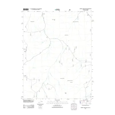
 2012 Long Dry Canyon2012 Print · USGSCovers Mono County, including Lyon County, Douglas County, and other nearby areas
 - 2012 Map of Sweetwater Creek, 2012 Print
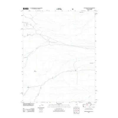
 2012 Sweetwater Creek2012 Print · USGSCovers Mono County, including Sweetwater, Lyon County, and other nearby areas
 - 2012 Map of Risue Canyon, 2012 Print
 2012 Risue Canyon2012 Print · USGSCovers Mono County, including Walker, Douglas County, and other nearby areas
 - 2012 Map of The Elbow, 2012 Print
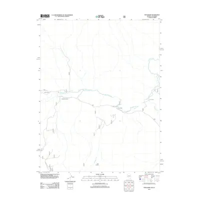 2012 The Elbow2012 Print · USGSCovers Mono County, including Sonoma, Conway, and other nearby areas
 - 2012 Map of Desert Creek Peak, 2012 Print
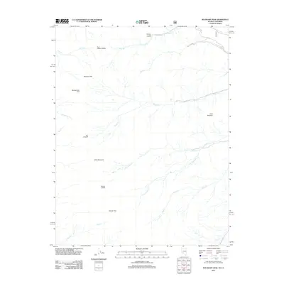
 2012 Desert Creek Peak2012 Print · USGSCovers Mono County, including Sulphur, Lyon County, and other nearby areas
 - 2012 Map of Huntoon Spring, 2012 Print
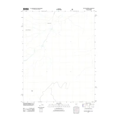 2012 Huntoon Spring2012 Print · USGSCovers Mono County, including Mineral County, United States, and other nearby areas
 - 2012 Map of Truman Meadows, 2012 Print
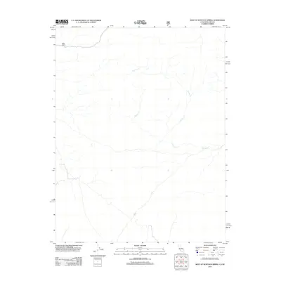
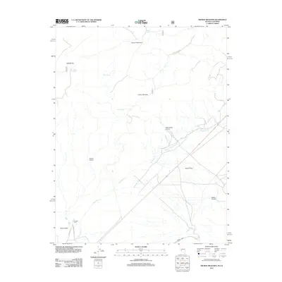 2012 Truman Meadows2012 Print · USGSCovers Mono County, including Esmeralda County, Mineral County, and other nearby areas
 - 2012 Map of Davis Mountain, 2012 Print
 2012 Davis Mountain2012 Print · USGSCovers Mono County, including Esmeralda County, United States, and other nearby areas
 - 2012 Map of Boundary Peak, 2012 Print
 2012 Boundary Peak2012 Print · USGSCovers Mono County, including Esmeralda County, United States, and other nearby areas
 - 2012 Map of Dyer, 2012 Print
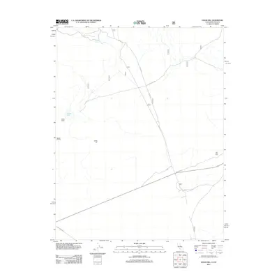
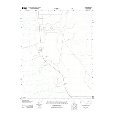 2012 Dyer2012 Print · USGSCovers Mono County, including Dyer, Esmeralda County, and other nearby areas
 - 2012 Map of Topaz Lake, 2012 Print
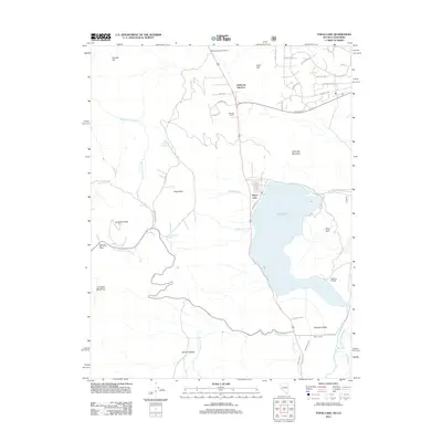 2012 Topaz Lake2012 Print · USGSCovers Mono County, including Topaz Ranch Estates, Topaz Lake, and other nearby areas
 - 2012 Map of Bodie, 2012 Print
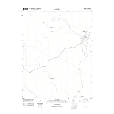 2012 Bodie2012 Print · USGSCovers Mono County, including Bodie, United States, and other nearby areas
 - 2012 Map of Cedar Hill, 2012 Print
 2012 Cedar Hill2012 Print · USGSCovers Mono County, including Mineral County, United States, and other nearby areas
 - 2012 Map of West of Huntoon Spring, 2012 Print
 2012 West of Huntoon Spring2012 Print · USGSCovers Mono County, including Mineral County, United States, and other nearby areas
 - 2012 Map of Alameda Well, 2012 Print
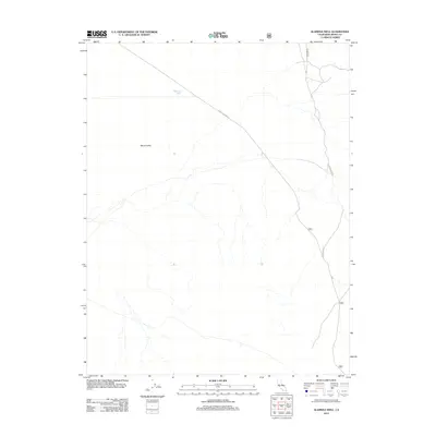 2012 Alameda Well2012 Print · USGSCovers Mono County, including United States, California, and other nearby areas
 - 2012 Map of Chidago Canyon, 2012 Print
 2012 Chidago Canyon2012 Print · USGSCovers Mono County, including United States, California, and other nearby areas
Showing maps 1-25 of 337
Top cities of Mono County
- Mammoth Lakes historical maps
- June Lake historical maps
- Crowley Lake historical maps
- Walker historical maps
- Chalfant Valley historical maps
- Coleville historical maps
See more
Frequently asked questions
- What are the different types of historical maps available for Mono County?
- What is the oldest map of Mono County?
- Where can I purchase historical maps of Mono County for my home or office?
- Where can I download high-res historical maps of Mono County?
- Are there historical topographic maps available for Mono County?
- Is there historical aerial imagery available for Mono County?
- Where are historical maps of Mono County sourced from?