2000s (21st Century) Maps of Marine Corps Base Camp Pendleton, California
Explore 36 historic maps of Marine Corps Base Camp Pendleton from the 2000s (21st Century). These maps offer a rare glimpse into what life looked like during the 2000s — showing old roads, neighborhoods, homes, and landmarks that have changed or disappeared over time.
Whether you're researching your family's past, planning a metal detecting trip, or studying how Marine Corps Base Camp Pendleton's landscape evolved across the 2000s, these high-resolution maps are a powerful tool for exploring the history of this region.
- Focus on a specific era: All maps on this page are from the 2000s, giving you a focused view of this time period.
- See what’s changed: Compare century-old streets, trails, and buildings to today's modern landscape using overlays and satellite layers.
- Research with precision: Use these maps for genealogy, historical research, land use analysis, or educational projects.
- View, download, or print: Maps are fully viewable online in high resolution, and can be downloaded or printed for your own records.
Start exploring Marine Corps Base Camp Pendleton's history through authentic maps from the 2000s. This is your window into the past.
Marine Corps Base Camp Pendleton, CA maps
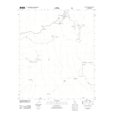
(36)- 2012 Map of Margarita Peak, 2012 Print
 2012 Margarita Peak2012 Print · USGSCovers Marine Corps Base Camp Pendleton, including San Diego County, United States, and other nearby areas
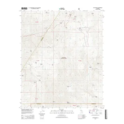
 - 2012 Map of Sitton Peak, 2012 Print
 2012 Sitton Peak2012 Print · USGSCovers Marine Corps Base Camp Pendleton, including San Diego County, Orange County, and other nearby areas
 - 2012 Map of Fallbrook, 2012 Print
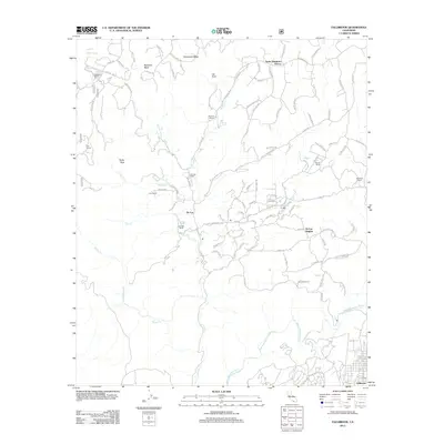 2012 Fallbrook2012 Print · USGSCovers Marine Corps Base Camp Pendleton, including Fallbrook, De Luz Heights, and other nearby areas
 - 2012 Map of Morro Hill, 2012 Print
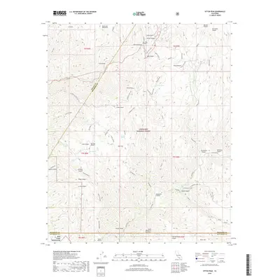
 2012 Morro Hill2012 Print · USGSCovers Marine Corps Base Camp Pendleton, including Oceanside, Jofegan, and other nearby areas
 - 2012 Map of San Clemente, 2012 Print
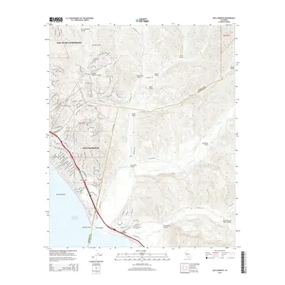
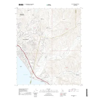
 2012 San Clemente2012 Print · USGSCovers Marine Corps Base Camp Pendleton, including San Clemente, San Juan Capistrano, and other nearby areas
 - 2012 Map of San Luis Rey, 2012 Print
 2012 San Luis Rey2012 Print · USGSCovers Marine Corps Base Camp Pendleton, including Oceanside, Carlsbad, and other nearby areas
 - 2012 Map of Las Pulgas Canyon, 2012 Print
 2012 Las Pulgas Canyon2012 Print · USGSCovers Marine Corps Base Camp Pendleton, including Las Flores, San Diego County, and other nearby areas
 - 2012 Map of San Onofre Bluff, 2012 Print
 2012 San Onofre Bluff2012 Print · USGSCovers Marine Corps Base Camp Pendleton, including San Clemente, Agra, and other nearby areas
 - 2012 Map of Oceanside, 2012 Print
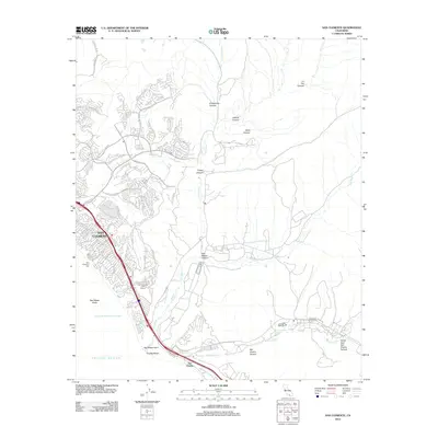
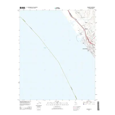
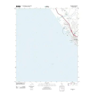 2012 Oceanside2012 Print · USGSCovers Marine Corps Base Camp Pendleton, including Oceanside, Carlsbad, and other nearby areas
 - 2015 Map of San Clemente, 2015 Print
 2015 San Clemente2015 Print · USGSCovers Marine Corps Base Camp Pendleton, including San Clemente, San Juan Capistrano, and other nearby areas
 - 2015 Map of Sitton Peak, 2015 Print
 2015 Sitton Peak2015 Print · USGSCovers Marine Corps Base Camp Pendleton, including San Diego County, Orange County, and other nearby areas
 - 2015 Map of San Onofre Bluff, 2015 Print
 2015 San Onofre Bluff2015 Print · USGSCovers Marine Corps Base Camp Pendleton, including San Clemente, Agra, and other nearby areas
 - 2015 Map of Margarita Peak, 2015 Print
 2015 Margarita Peak2015 Print · USGSCovers Marine Corps Base Camp Pendleton, including San Diego County, United States, and other nearby areas
 - 2015 Map of Oceanside, 2015 Print
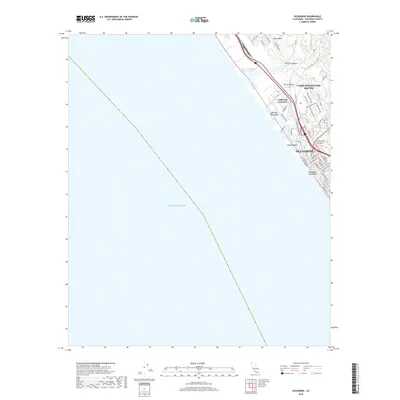
 2015 Oceanside2015 Print · USGSCovers Marine Corps Base Camp Pendleton, including Oceanside, Carlsbad, and other nearby areas
 - 2015 Map of Fallbrook, 2015 Print
 2015 Fallbrook2015 Print · USGSCovers Marine Corps Base Camp Pendleton, including Fallbrook, De Luz Heights, and other nearby areas
 - 2015 Map of San Luis Rey, 2015 Print
 2015 San Luis Rey2015 Print · USGSCovers Marine Corps Base Camp Pendleton, including Oceanside, Carlsbad, and other nearby areas
 - 2015 Map of Las Pulgas Canyon, 2015 Print
 2015 Las Pulgas Canyon2015 Print · USGSCovers Marine Corps Base Camp Pendleton, including Las Flores, San Diego County, and other nearby areas
 - 2015 Map of Morro Hill, 2015 Print
 2015 Morro Hill2015 Print · USGSCovers Marine Corps Base Camp Pendleton, including Oceanside, Jofegan, and other nearby areas
 - 2018 Map of Las Pulgas Canyon, 2018 Print
 2018 Las Pulgas Canyon2018 Print · USGSCovers Marine Corps Base Camp Pendleton, including Las Flores, San Diego County, and other nearby areas
 - 2018 Map of Oceanside, 2018 Print
 2018 Oceanside2018 Print · USGSCovers Marine Corps Base Camp Pendleton, including Oceanside, Carlsbad, and other nearby areas
 - 2018 Map of Morro Hill, 2018 Print
 2018 Morro Hill2018 Print · USGSCovers Marine Corps Base Camp Pendleton, including Oceanside, Jofegan, and other nearby areas
 - 2018 Map of Sitton Peak, 2018 Print
 2018 Sitton Peak2018 Print · USGSCovers Marine Corps Base Camp Pendleton, including San Diego County, Orange County, and other nearby areas
 - 2018 Map of San Luis Rey, 2018 Print
 2018 San Luis Rey2018 Print · USGSCovers Marine Corps Base Camp Pendleton, including Oceanside, Carlsbad, and other nearby areas
 - 2018 Map of San Onofre Bluff, 2018 Print
 2018 San Onofre Bluff2018 Print · USGSCovers Marine Corps Base Camp Pendleton, including San Clemente, Agra, and other nearby areas
 - 2018 Map of San Clemente, 2018 Print
 2018 San Clemente2018 Print · USGSCovers Marine Corps Base Camp Pendleton, including San Clemente, San Juan Capistrano, and other nearby areas
Showing maps 1-25 of 36
Top cities near Marine Corps Base Camp Pendleton
- Oceanside historical maps
- Carlsbad historical maps
- Murrieta historical maps
- Temecula historical maps
- Vista historical maps
- Mission Viejo historical maps
See more
Top neighborhoods of Marine Corps Base Camp Pendleton
- Las Flores historical maps
- San Onofre historical maps
- Jofegan historical maps
- Agra historical maps
- Fallbrook Junction historical maps
- Stuart historical maps
Frequently asked questions
- What are the different types of historical maps available for Marine Corps Base Camp Pendleton?
- What is the oldest map of Marine Corps Base Camp Pendleton?
- Where can I purchase historical maps of Marine Corps Base Camp Pendleton for my home or office?
- Where can I download high-res historical maps of Marine Corps Base Camp Pendleton?
- Are there historical topographic maps available for Marine Corps Base Camp Pendleton?
- Is there historical aerial imagery available for Marine Corps Base Camp Pendleton?
- Where are historical maps of Marine Corps Base Camp Pendleton sourced from?