1960s Maps of San Luis Obispo County, California
Explore 56 historic maps of San Luis Obispo County from the 1960s. These maps offer a rare glimpse into what life looked like during the 1960s — showing old roads, neighborhoods, homes, and landmarks that have changed or disappeared over time.
Whether you're researching your family's past, planning a metal detecting trip, or studying how San Luis Obispo County's landscape evolved across the 1960s, these high-resolution maps are a powerful tool for exploring the history of this region.
- Focus on a specific era: All maps on this page are from the 1960s, giving you a focused view of this time period.
- See what’s changed: Compare century-old streets, trails, and buildings to today's modern landscape using overlays and satellite layers.
- Research with precision: Use these maps for genealogy, historical research, land use analysis, or educational projects.
- View, download, or print: Maps are fully viewable online in high resolution, and can be downloaded or printed for your own records.
Start exploring San Luis Obispo County's history through authentic maps from the 1960s. This is your window into the past.
San Luis Obispo County, CA maps
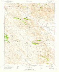
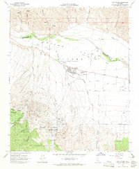
(56)- 1960 Map of Bakersfield
 1960 Bakersfield1960 Print · USGSThe Southern San Joaquin Valley at mid-century reveals a complex landscape of petroleum development and massive irrigation projects. Researchers can trace the rail lines of the Southern Pacific, explore oil-era landmarks like Oil City, and locate early settlements including Allensworth and Pixley.2 unique versions available
 - 1961 Map of Orchard Peak, 1962 Print
 1961 Orchard Peak1962 Print · USGSThe high Temblor Range and Polonio Pass in the early sixties reveal a landscape of remote ranching and emerging energy infrastructure. Researchers can locate the settlement of Annette, trace the Antelope Grade, and find isolated water sources like Twisselmann Lake.2 unique versions available
 - 1961 Map of Packwood Creek, 1962 Print
 1961 Packwood Creek1962 Print · USGSThe high desert border between Kern and San Luis Obispo counties is captured here in the early sixties, showing a landscape of remote cattle ranges and infrastructure. Genealogists and historians can trace the Butterwater Pumping Station and the settlement at Poso Ortega among the ridges of the Temblor Range.2 unique versions available
 - 1961 Map of Cholame Valley, 1962 Print
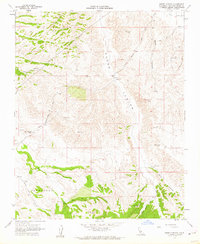
 1961 Cholame Valley1962 Print · USGSThe Monterey and San Luis Obispo county borders come together in the early 1960s across this ranching landscape. Genealogists and historians can locate remote landmarks like the Cholame Ranch, identify water sources at Kerr Lake, and trace the terrain of Turkey Flat.3 unique versions available
 - 1961 Map of Parkfield, 1962 Print
 1961 Parkfield1962 Print · USGSParkfield and the Cholame Valley are captured here in the early sixties, a time of isolated ranching and mineral exploration along the San Andreas fault line. Researchers can trace family history through the Parkfield Cemetery or locate old operations like the Patriquin Mine and White Mine.2 unique versions available
 - 1961 Map of Orchard Peak, 1962 Print
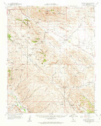 1961 Orchard Peak1962 Print · USGSThe Temblor Range and the Kern-San Luis Obispo border area come into focus in the early sixties as the regional oil and water infrastructure expands. Researchers can trace the era's industrial footprint through Oil Wells at Devils Den and the Antelope Pumping Sta.
 - 1961 Map of Cholame Hills, 1962 Print
 1961 Cholame Hills1962 Print · USGSThe California Coast Ranges come into focus in the early sixties as they straddle the Monterey and San Luis Obispo line. Genealogists and local historians can trace isolated outposts like Cottonwood Camp and remote water sources including Square Corral Spring and Covington Lake.3 unique versions available
 - 1961 Map of Shandon, 1962 Print
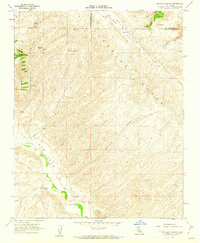
 1961 Shandon1962 Print · USGSEastern San Luis Obispo County is captured here in the early sixties as an expansive ranching and agricultural district. Genealogists and researchers can locate old family sites like Clarke Ranch, the Shandon Cemetery, and the Eddys Camp site.2 unique versions available
 - 1961 Map of Camatta Canyon, 1962 Print
 1961 Camatta Canyon1962 Print · USGSEastern San Luis Obispo County ranching and rugged canyon terrain are documented here just after the mid-century. Researchers can trace historic property boundaries and remote sites like Alfalfa Ranch, Canyon Ranch, and the Temblor Range.3 unique versions available
 - 1961 Map of Shedd Canyon, 1962 Print
 1961 Shedd Canyon1962 Print · USGSSan Luis Obispo County ranching country is captured here in the early sixties, showing a landscape of named family outposts and deep seasonal drainages. Genealogists and historians can trace the footprints of Clarke Ranch, Eddys Camp, and Upton Ranch among the cattle roads.2 unique versions available
 - 1961 Map of Holland Canyon, 1962 Print
 1961 Holland Canyon1962 Print · USGSThe ranching country of the San Luis Obispo and Kern County border is captured here in the early sixties as it was surveyed for water resources. Researchers can locate remote sites like the San Juan Ranch, the Choice Valley Sch, and uniquely named water sources such as Bellyache Spr.4 unique versions available
 - 1961 Map of Cholame, 1962 Print
 1961 Cholame1962 Print · USGSCentral California ranching country and the San Andreas Fault corridor appear here in the early sixties. Researchers can trace the layout of Cholame and Shandon, locate the Shandon Cemetery, and follow the path of Cholame Creek through the hills.4 unique versions available
 - 1961 Map of Shandon, 1962 Print
 1961 Shandon1962 Print · USGSShandon and the surrounding San Luis Obispo County ranch lands are documented here in the early 1960s, showing a landscape defined by seasonal riverbeds and canyons. Researchers can trace the layout of Whitley Gardens, locate the Fire Control Station, and follow the path of the Estrella River.3 unique versions available
 - 1961 Map of Paso Robles, 1968 Print
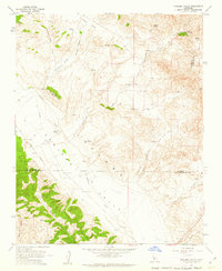
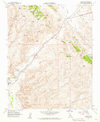
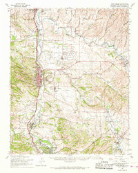 1961 Paso Robles1968 Print · USGSSan Luis Obispo County’s interior emerges here in the early 1960s, centered on the Salinas River valley and its established rail-and-highway routes. Researchers can trace the layout of Paso Robles, locate the Templeton Cem, or find rural sites like Whitley Gardens and the Estrella Adobe Ch.2 unique versions available
 - 1961 Map of Bradley, 1968 Print
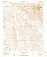
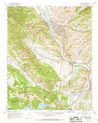 1961 Bradley1968 Print · USGSMonterey County in the early sixties is a landscape defined by the intersection of military training grounds, oil extraction, and ranching life. Researchers can trace the path of the Southern Pacific Railroad through Bradley or locate family sites near Pleyto and Hames Valley Hall.2 unique versions available
 - 1961 Map of Cape San Martin, 1968 Print
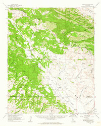
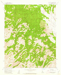
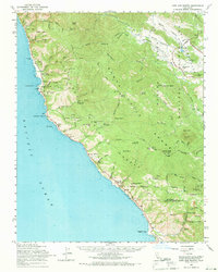 1961 Cape San Martin1968 Print · USGSThe Big Sur coast and Santa Lucia Range are shown here in the early sixties, before the full development of modern tourism. Researchers can trace remote coastal settlements like Plaskett and Gorda, find the Pacific Valley Sch, and locate the Polar Star Mine.2 unique versions available
 - 1961 Map of Adelaida, 1968 Print
 1961 Adelaida1968 Print · USGSCoastal California ranching and mining culture are preserved here in the early sixties as the Nacimiento Reservoir area developed. Researchers can locate local landmarks like the Adelaida Sch, the Klau Mine, and several historic family holdings including Kentucky Ranch.
 - 1961 Map of Bryson, 1968 Print
 1961 Bryson1968 Print · USGSCoastal range foothills and river valleys of Monterey County come into focus in the 1960s as military and rural life intersect. Genealogists can trace the locales of Jolon, Lockwood, and Bryson, alongside institutions like the San Antonio Union Sch and Pleyto Sch.
 - 1961 Map of San Miguel, 1968 Print
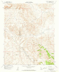
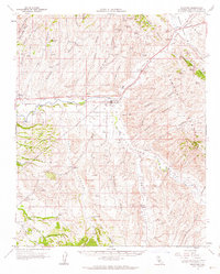
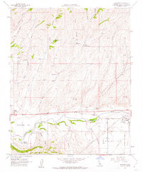
 1961 San Miguel1968 Print · USGSThe Salinas River valley and the expansive Camp Roberts Military Reservation are documented here in the early sixties. Genealogists can trace family names and sites like the Imusdale Cem, Indian Valley Sch, and the rail stop at McKay.
 - 1962 Map of Caliente Mtn
 1962 Caliente Mtn1962 Print · USGSThe ranching and petroleum frontiers of the early 1960s meet in this survey of the San Luis Obispo and Santa Barbara county line. Researchers can trace remote family holdings like Chimineas Ranch and the industrial layout of the Russell Ranch Oil Field.
 - 1962 Map of Cape San Martin
 1962 Cape San Martin1962 Print · USGSThe Big Sur coast meets the high ridges of the Santa Lucia Range in the early sixties. Trace the rugged terrain from Gorda to the Polar Star Mine, or locate historic sites like San Miguelito Ranch and Dutra Flats Camp.
 - 1962 Map of Santa Maria
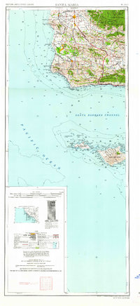 1962 Santa Maria1962 Print · USGSCoastal Santa Barbara County and its offshore islands are shown here during the early years of the Space Age. Researchers can trace the rail corridor of the Southern Pacific or locate local landmarks like Los Coches Mine and Solvang.
 - 1962 Map of Bakersfield, 1969 Print
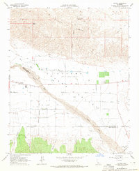
 1962 Bakersfield1969 Print · USGSThe Southern San Joaquin Valley is shown in the 1960s as a bustling intersection of petroleum production, irrigation agriculture, and mountain recreation. Researchers can trace the rail lines of the Southern Pacific through the valley or locate early desert developments like California City and Tehachapi.4 unique versions available
 - 1964 Map of New Cuyama, 1965 Print
 1964 New Cuyama1965 Print · USGSThe mid-century oil and ranching town of New Cuyama is documented here during its postwar development in the Cuyama Valley. Researchers can trace the local community infrastructure, from the Cuyama Valley High Sch and Landing Strip to the remote Branch Canyon Campground in the forest.3 unique versions available
 - 1964 Map of Cuyama, 1965 Print
 1964 Cuyama1965 Print · USGSThe high desert landscape of the Santa Barbara and San Luis Obispo border comes into focus during the mid-1960s. Researchers can trace the development of the Cuyama Valley through its complex grid of wells, the settlement of Cuyama, and water features like Willow Spring.3 unique versions available
Showing maps 1-25 of 56
Top cities of San Luis Obispo County
- San Luis Obispo historical maps
- Atascadero historical maps
- Paso Robles historical maps
- Arroyo Grande historical maps
- Grover Beach historical maps
- Morro Bay historical maps
See more
Frequently asked questions
- What are the different types of historical maps available for San Luis Obispo County?
- What is the oldest map of San Luis Obispo County?
- Where can I purchase historical maps of San Luis Obispo County for my home or office?
- Where can I download high-res historical maps of San Luis Obispo County?
- Are there historical topographic maps available for San Luis Obispo County?
- Is there historical aerial imagery available for San Luis Obispo County?
- Where are historical maps of San Luis Obispo County sourced from?