2020s Maps of San Luis Obispo County, California
Explore 83 historic maps of San Luis Obispo County from the 2020s. These maps offer a rare glimpse into what life looked like during the 2020s — showing old roads, neighborhoods, homes, and landmarks that have changed or disappeared over time.
Whether you're researching your family's past, planning a metal detecting trip, or studying how San Luis Obispo County's landscape evolved across the 2020s, these high-resolution maps are a powerful tool for exploring the history of this region.
- Focus on a specific era: All maps on this page are from the 2020s, giving you a focused view of this time period.
- See what’s changed: Compare century-old streets, trails, and buildings to today's modern landscape using overlays and satellite layers.
- Research with precision: Use these maps for genealogy, historical research, land use analysis, or educational projects.
- View, download, or print: Maps are fully viewable online in high resolution, and can be downloaded or printed for your own records.
Start exploring San Luis Obispo County's history through authentic maps from the 2020s. This is your window into the past.
San Luis Obispo County, CA maps
(83)- 2021 Map of Point Sal, 2021 Print
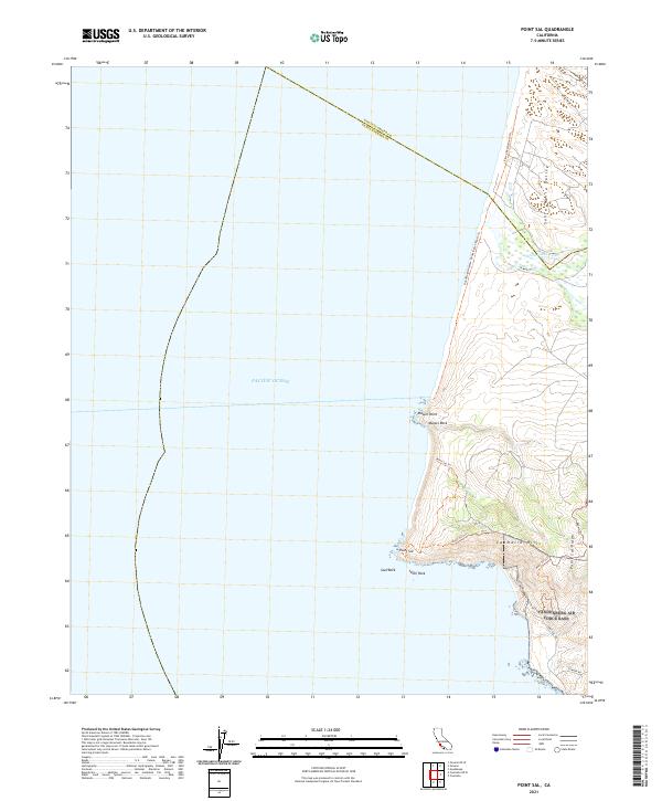 2021 Point Sal2021 Print · USGSThe northern Santa Barbara coastline is captured here in the early 2020s, showing the dramatic meeting of the Santa Maria Valley and the Pacific. Trace the paths of the Point Sal Trl and Pismo-Beach Route Trl across the heights of the Casmalia Hills.
 - 2021 Map of Cayucos OE W, 2021 Print
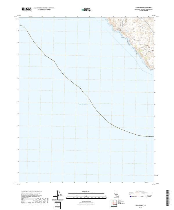 2021 Cayucos OE W2021 Print · USGSThe San Luis Obispo County coastline is documented here in the early twenty-first century as modern developments meet the sea. Researchers can trace local landmarks like Point Estero and follow residential paths such as Sea West Rd and Backbay Dr.
 - 2021 Map of Piedras Blancas, 2021 Print
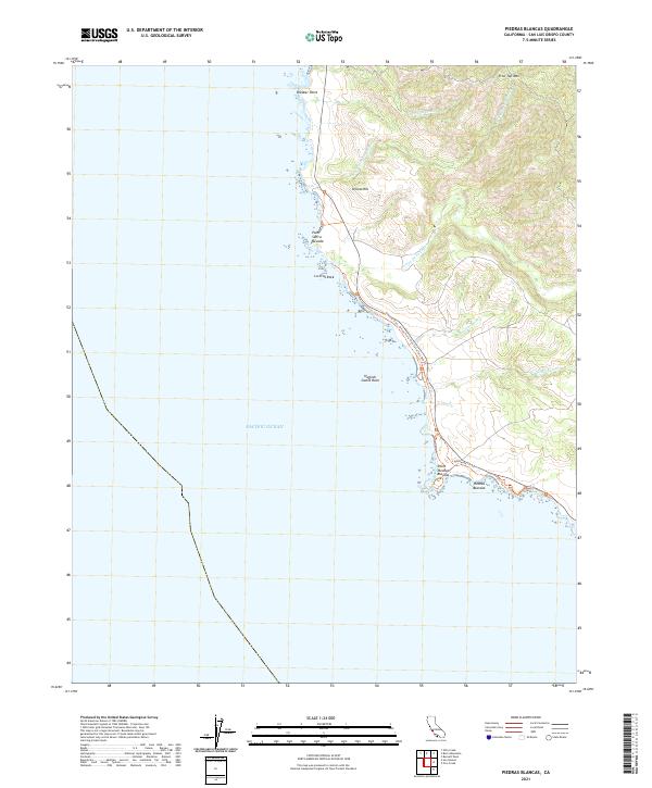 2021 Piedras Blancas2021 Print · USGSThe San Luis Obispo County shoreline at Point Piedras Blancas remains a place of steep coastal ridges and prominent marine landmarks. Modern researchers can trace the winding Coastal Trail and locate offshore features like Harlech Castle Rock and Point Sierra Nevada.
 - 2021 Map of Cambria, 2021 Print
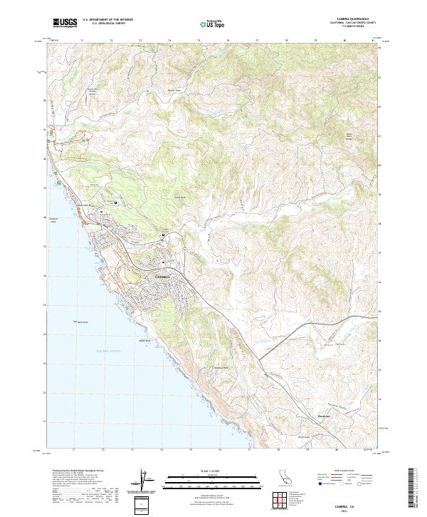 2021 Cambria2021 Print · USGSCoastal San Luis Obispo County is captured here in the early 2020s, showing the intersection of seaside residential life and long-standing ranching valleys. Trace the streets of Cambria, locate the Cambria Cem, and explore the rural character of Harmony and Palmer Flats.
 - 2021 Map of Pico Creek, 2021 Print
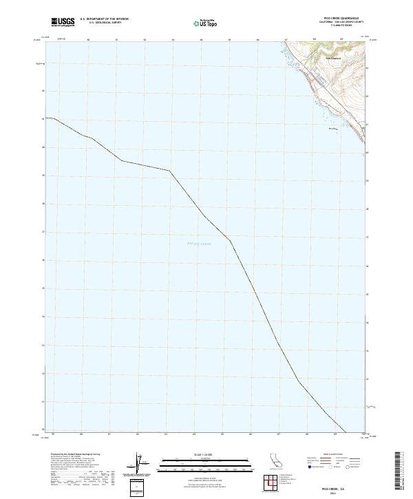 2021 Pico Creek2021 Print · USGSThe San Simeon coastline is captured in the early 2020s, showing the intersection of coastal development and the Pacific shore. Trace local residential growth along Lone Palm Dr or follow the San Simeon Beach and Bluff Trl past Pico Rock.
 - 2021 Map of Bryson, 2021 Print
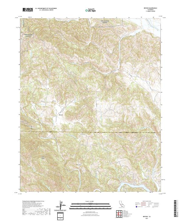 2021 Bryson2021 Print · USGSThe rural borderlands between Monterey and San Luis Obispo counties come alive in this recent survey. Local historians can trace the settlement at Bryson, follow the drainage of the Nacimiento River, and locate landmarks like Beasley Flat and the Santa Lucia Range.
 - 2021 Map of Guadalupe, 2021 Print
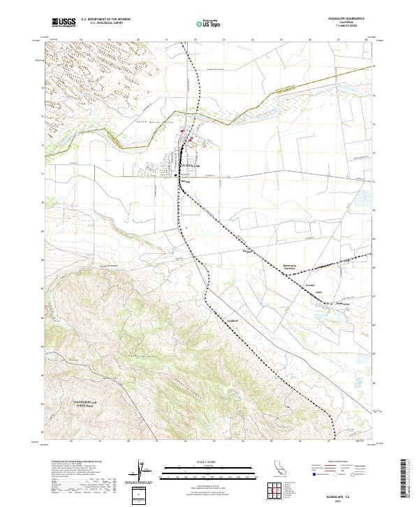 2021 Guadalupe2021 Print · USGSThe Santa Maria Valley is captured here in the early twenty-first century, showing the intersection of agricultural wealth and the rugged hills of the Central Coast. Local historians can trace the rail sidings of Barsug and Waldorf or find family plots at Guadalupe Cem.
 - 2021 Map of Twitchell Dam, 2021 Print
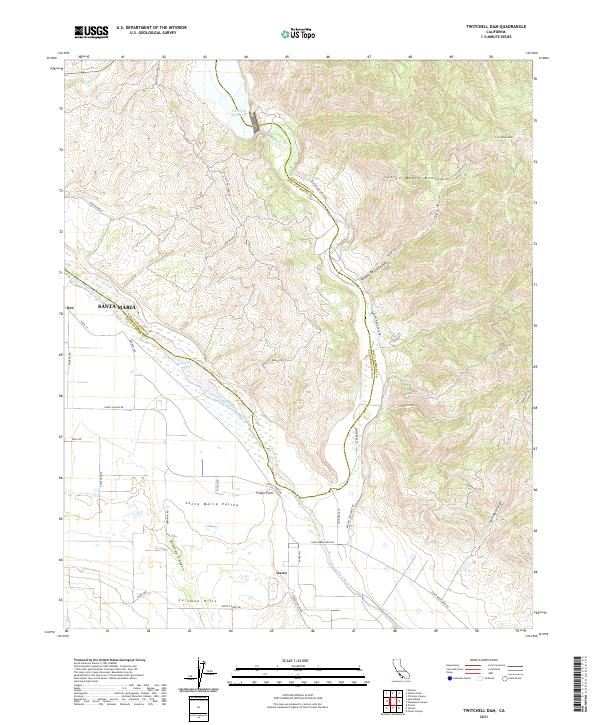 2021 Twitchell Dam2021 Print · USGSThe confluence of the Cuyama and Sisquoc rivers defines this northern Santa Barbara County landscape in the early 2020s. Genealogists and local historians can trace the rural layout around Garey, the Santa Maria Valley, and the massive Twitchell Reservoir.
 - 2021 Map of Burro Mountain, 2021 Print
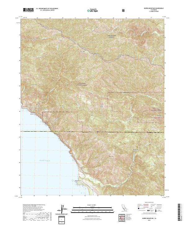 2021 Burro Mountain2021 Print · USGSThe rugged Big Sur coast and Santa Lucia Range are shown in detail here in the early twenty-first century. Hikers and researchers can trace historical backcountry routes like the Buckeye Trl or locate landmarks such as Ragged Point and Silver Peak.
 - 2021 Map of Pebblestone Shut-in, 2021 Print
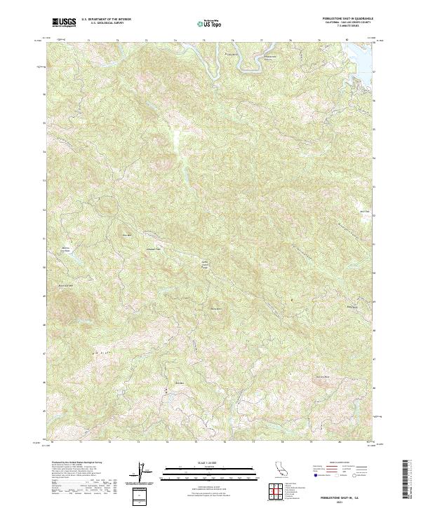 2021 Pebblestone Shut-in2021 Print · USGSThe high peaks of the Santa Lucia Range come into focus in this recent survey of San Luis Obispo County. Researchers can trace historic access routes like Keystone Mine Rd and explore landmarks like Almaden Flats and Pebblestone Shut-In.
 - 2021 Map of Villa Creek, 2021 Print
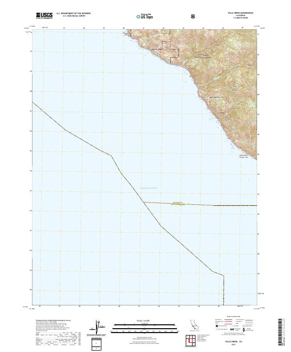 2021 Villa Creek2021 Print · USGSCoastal Monterey and San Luis Obispo counties meet along these steep Pacific slopes in the early 2020s. Trace the remote network of the Buckeye Trl and Cruickshank Trl as they climb the Santa Lucia Range above Villa Cr.
 - 2021 Map of Burnett Peak, 2021 Print
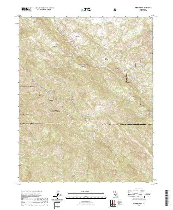 2021 Burnett Peak2021 Print · USGSThe Santa Lucia Range and the southern reaches of Fort Hunter Liggett are captured here during the early twenty-first century. Researchers can trace the steep terrain between Burnett Peak and The Palisades or locate landmarks like The Shut-in.
 - 2021 Map of San Simeon, 2021 Print
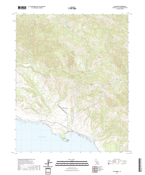 2021 San Simeon2021 Print · USGSThe San Luis Obispo coast is seen here in the early 2020s, showing the dramatic transition from the Santa Lucia mountains to the Pacific. Researchers can trace the Hearst San Simeon Airstrip, San Simeon Bay, and the path of the Hearst Castle RD.
 - 2021 Map of Santa Maria, 2021 Print
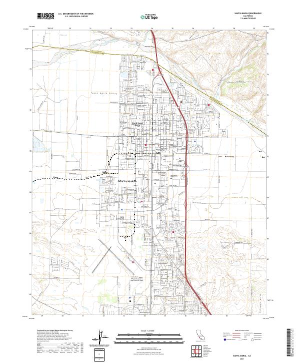 2021 Santa Maria2021 Print · USGSSanta Maria and its surrounding valley are documented here in 2021, showing the modern intersection of aviation, education, and rail history. You can trace the legacy of the Pacific Coast Ry near the Santa Maria Cem District and the sprawling Captain G Allan Hancock Field.
 - 2021 Map of Cuyama, 2021 Print
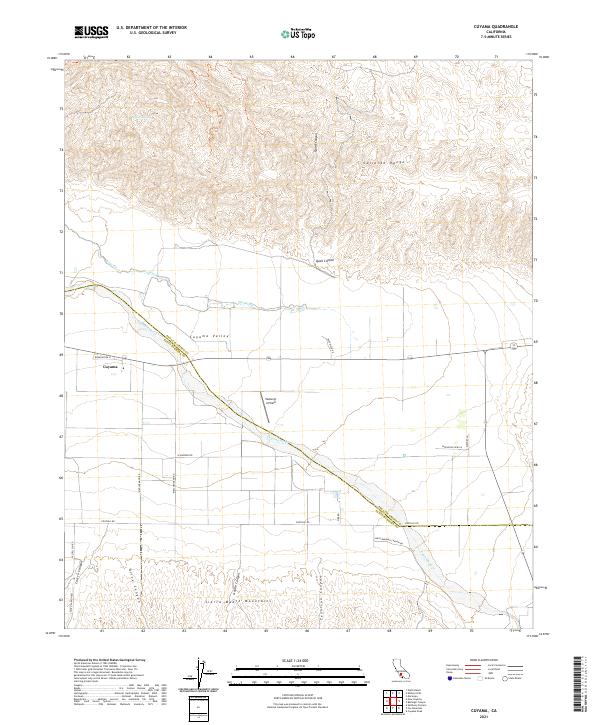 2021 Cuyama2021 Print · USGSThe Cuyama Valley and surrounding mountain ranges are captured in this modern survey as they appeared in 2021. Researchers can trace rural landmarks and terrain features from Vosburgh Airfield and the settlement of Cuyama to the winding Cuyama River.
 - 2021 Map of New Cuyama, 2021 Print
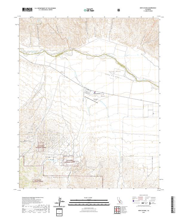 2021 New Cuyama2021 Print · USGSThe high Cuyama Valley is captured here during the early 2020s, showing the intersection of ranching life and mountain wilderness. Researchers can trace the layout of New Cuyama and find remote landmarks like Turkey Trap Ridge and Juniper Spring.
 - 2021 Map of Peak Mountain, 2021 Print
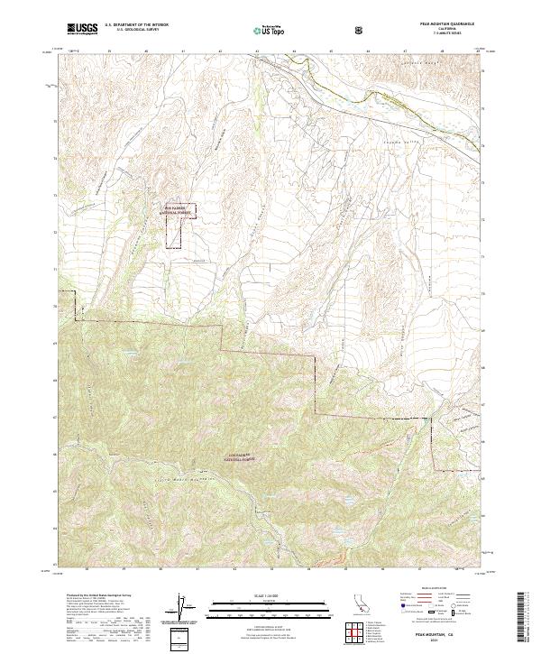 2021 Peak Mountain2021 Print · USGSThe California backcountry near the Santa Barbara and San Luis Obispo border comes into focus in this modern survey. Researchers can trace remote water sources like Heath Spring and Hog Pen Spring or follow the path of the McPherson Trl through the Sierra Madre Mountains.
 - 2021 Map of Santa Margarita Lake, 2021 Print
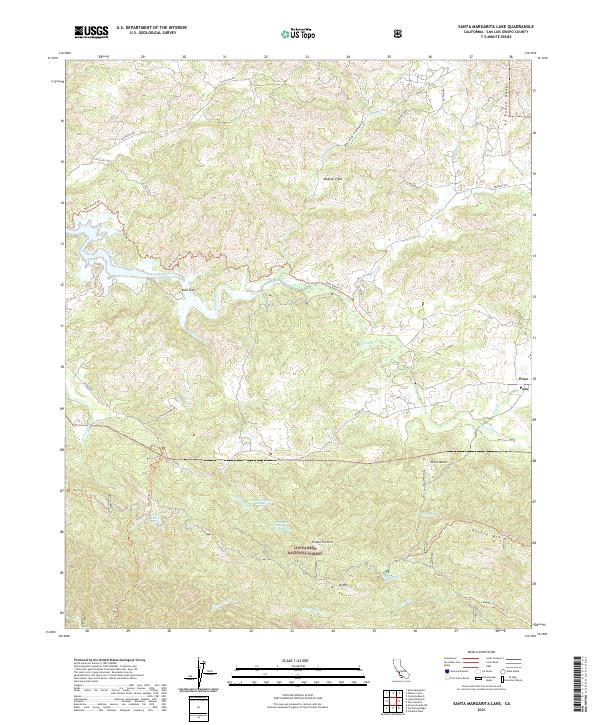 2021 Santa Margarita Lake2021 Print · USGSThe southern Salinas River watershed and the rugged interior of San Luis Obispo County are mapped here in the early twenty-first century. Researchers can trace historic access routes and water sources like the Rinconada Trl, the settlement of Pozo, and Hi Mountain Spring.
 - 2021 Map of Bradley, 2021 Print
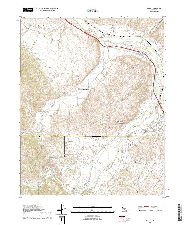 2021 Bradley2021 Print · USGSThe community of Bradley sits at the vital junction of the Salinas River and its major tributaries during the early 2020s. Trace the intricate canyons of Portuguese Canyon and Sulphur Canyon or follow the county line separating Monterey Co and San Luis Obispo Co.
 - 2021 Map of Pozo Summit, 2021 Print
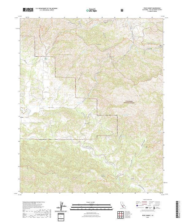 2021 Pozo Summit2021 Print · USGSSan Luis Obispo County's high country is captured here during the early 2020s, showing the intersection of ranching and recreation. Researchers can trace historic access routes like Avenales Ranch Rd and locate landmarks such as Pozo and Pozo Summit.
 - 2021 Map of Elkhorn Hills, 2021 Print
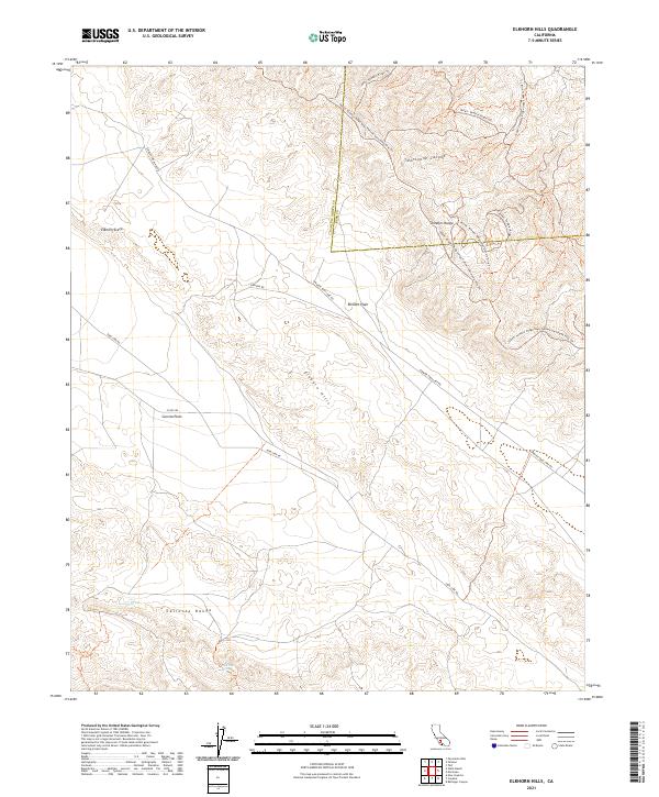 2021 Elkhorn Hills2021 Print · USGSThe high desert of San Luis Obispo County is captured here in the early 2020s, showing the dramatic geology of the fault zone. Researchers can trace the path of Elkhorn Rd across the Elkhorn Plain or locate remote water sources like Lawson Spring.
 - 2021 Map of Painted Rock, 2021 Print
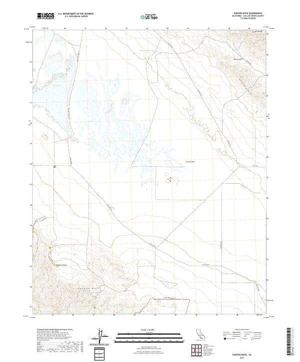 2021 Painted Rock2021 Print · USGSThe Carrizo Plain remained a sparsely settled landscape of alkali flats and dramatic geology into the twenty-first century. Researchers can trace the path of Soda Lake Rd and locate the monolithic Painted Rock near the Caliente Range.
 - 2021 Map of Wilson Corner, 2021 Print
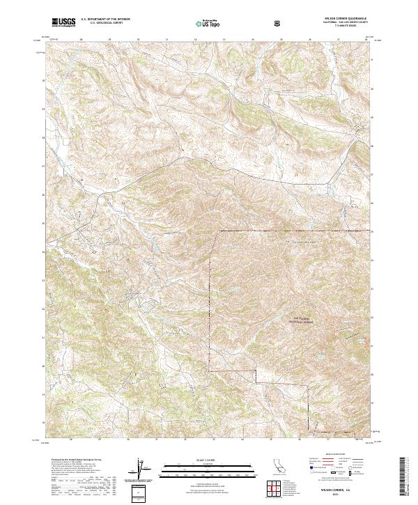 2021 Wilson Corner2021 Print · USGSEastern San Luis Obispo County comes into focus in this 2021 study of the La Panza Range and the northern edge of the National Forest. Modern researchers can trace backcountry routes like Black Mountain Trl and locate vital water sources like Ben Willow Spring and Milburn Spring.
 - 2021 Map of Port San Luis, 2021 Print
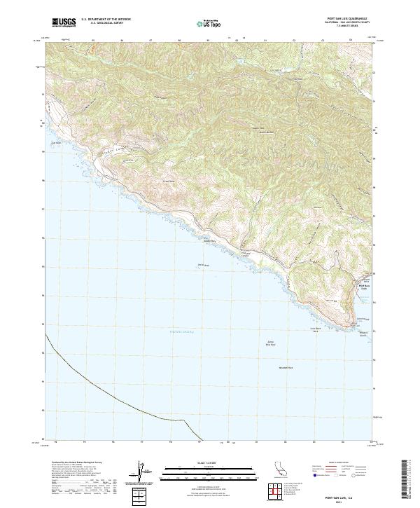 2021 Port San Luis2021 Print · USGSThe Central California coast near San Luis Obispo comes into focus during the early twenty-first century. Researchers can trace the rugged shoreline from Point San Luis past Pecho Rock, following historical routes like Pecho Rd through the Irish Hills.
 - 2021 Map of Wells Ranch, 2021 Print
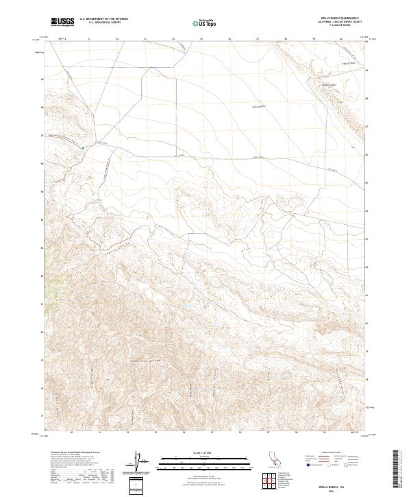 2021 Wells Ranch2021 Print · USGSSan Luis Obispo County ranching country is mapped here in the early 2020s, showing the intersection of the Carrizo Plain and Caliente Range. Researchers can trace old stock routes like Seaback Ranch Trl and locate remote water sources such as Wells Spring.
Showing maps 1-25 of 83
Top cities of San Luis Obispo County
- San Luis Obispo historical maps
- Atascadero historical maps
- Paso Robles historical maps
- Arroyo Grande historical maps
- Grover Beach historical maps
- Morro Bay historical maps
See more
Frequently asked questions
- What are the different types of historical maps available for San Luis Obispo County?
- What is the oldest map of San Luis Obispo County?
- Where can I purchase historical maps of San Luis Obispo County for my home or office?
- Where can I download high-res historical maps of San Luis Obispo County?
- Are there historical topographic maps available for San Luis Obispo County?
- Is there historical aerial imagery available for San Luis Obispo County?
- Where are historical maps of San Luis Obispo County sourced from?