2000s (21st Century) Maps of Gilroy, California
Explore 16 historic maps of Gilroy from the 2000s (21st Century). These maps offer a rare glimpse into what life looked like during the 2000s — showing old roads, neighborhoods, homes, and landmarks that have changed or disappeared over time.
Whether you're researching your family's past, planning a metal detecting trip, or studying how Gilroy's landscape evolved across the 2000s, these high-resolution maps are a powerful tool for exploring the history of this region.
- Focus on a specific era: All maps on this page are from the 2000s, giving you a focused view of this time period.
- See what’s changed: Compare century-old streets, trails, and buildings to today's modern landscape using overlays and satellite layers.
- Research with precision: Use these maps for genealogy, historical research, land use analysis, or educational projects.
- View, download, or print: Maps are fully viewable online in high resolution, and can be downloaded or printed for your own records.
Start exploring Gilroy's history through authentic maps from the 2000s. This is your window into the past.
Gilroy, CA maps
(16)- 2012 Map of Watsonville East, 2012 Print
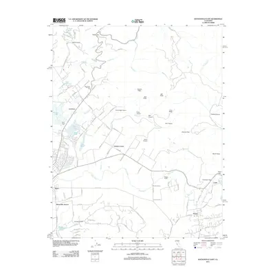 2012 Watsonville East2012 Print · USGSThe Pajaro River valley and the rugged foothills of the Santa Cruz Mountains come into focus in this 2012 study of the Central Coast. Researchers can trace the rail heritage at Watsonville Junction and find local landmarks like Saint Francis Cem or Johnston Corner.
 - 2012 Map of Chittenden, 2012 Print
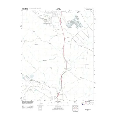 2012 Chittenden2012 Print · USGSThe Santa Clara Valley corridor south of Gilroy is captured here in the early 2000s, showcasing a landscape of river confluences and historic transit points. Genealogists and local historians can trace the sites of Old Gilroy, the Sargent Oil Field, and Carnadero.
 - 2012 Map of Mount Madonna, 2012 Print
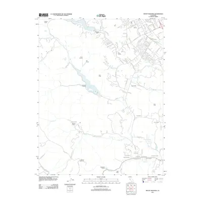 2012 Mount Madonna2012 Print · USGSSanta Clara County’s southern foothills appear in detail during this era of vineyard expansion and suburban growth. Genealogists and local historians can trace family plots at Mount Hope Cem or explore the landscape of Solis Rancho and Paradise Valley.
 - 2012 Map of Gilroy, 2012 Print
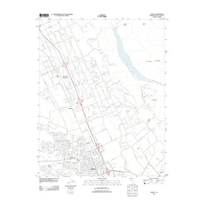 2012 Gilroy2012 Print · USGSGilroy and the surrounding Santa Clara Valley are captured here just after the turn of the millennium, showcasing a landscape of vineyards and suburban growth. Researchers can trace local history through the Independent Order of Oddfellows Cemetery and legacy sites like the Paul Masson Winery.
 - 2015 Map of Mount Madonna, 2015 Print
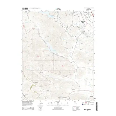 2015 Mount Madonna2015 Print · USGSThe foothills of the Santa Cruz Mountains come alive in this 2015 study of the Morgan Hill and Gilroy area. Researchers can trace family history at Mount Hope Cemetery or locate the precise track of the San Andreas Fault as it passes near Mount Madonna.
 - 2015 Map of Gilroy, 2015 Print
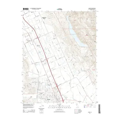 2015 Gilroy2015 Print · USGSSanta Clara County’s southern valley is captured here in a period of modern agricultural and suburban identity. Researchers can trace family history at the Independent Order of Oddfellows Cemetery or explore the shifting centers of Gilroy and Old Gilroy.
 - 2015 Map of Watsonville East, 2015 Print
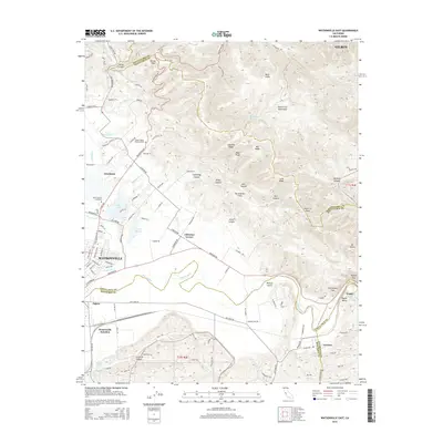 2015 Watsonville East2015 Print · USGSThe fertile Pajaro Valley meets the Santa Cruz Mountains in the mid-2010s, showing a complex landscape of agriculture and tectonic geography. Trace local history through Pajaro Valley Memorial Park, the San Andreas Fault, and industrial sites like the Pajaro Quarry.
 - 2015 Map of Chittenden, 2015 Print
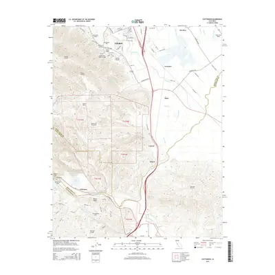 2015 Chittenden2015 Print · USGSThe southern gateway to the Santa Clara Valley is documented here in the mid-2010s, where the San Andreas Fault intersects the agricultural corridor. Genealogists and historians can trace the foundations of Old Gilroy, the campus of Gavilan College, and the rail-side markers at Sargent and Chittenden.
 - 2018 Map of Mount Madonna, 2018 Print
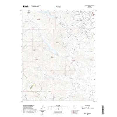 2018 Mount Madonna2018 Print · USGSThe southern Santa Cruz Mountains meet the Santa Clara Valley in this 2018 survey, capturing the geography of the tech-corridor's edge and its rugged backdrop. Researchers can trace the San Andreas Fault or locate heritage sites like Mount Hope Cem and the Solis Rancho.
 - 2018 Map of Gilroy, 2018 Print
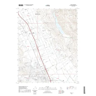 2018 Gilroy2018 Print · USGSThe Santa Clara Valley corridor is captured here in the late twenty-tens, showing the residential and agricultural expansion between the Diablo Range and the Santa Cruz Mountains. Researchers can trace family history at the Independent Order of Oddfellows Cemetery or locate the historic site of Old Gilroy.
 - 2018 Map of Watsonville East, 2018 Print
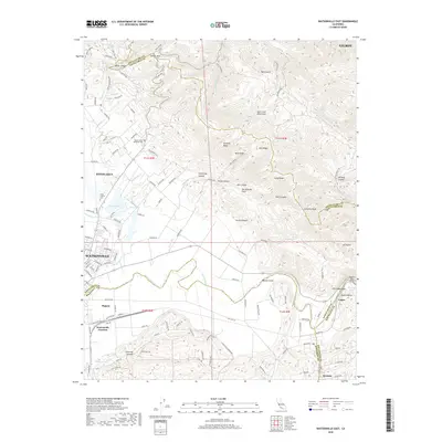 2018 Watsonville East2018 Print · USGSThe Pajaro Valley and the southern Santa Cruz Mountains are captured in this recent survey at a moment of continued agricultural and suburban growth. Genealogists and historians can trace family plots at Saint Francis Cem or follow the rail infrastructure near Watsonville Junction and Logan.
 - 2018 Map of Chittenden, 2018 Print
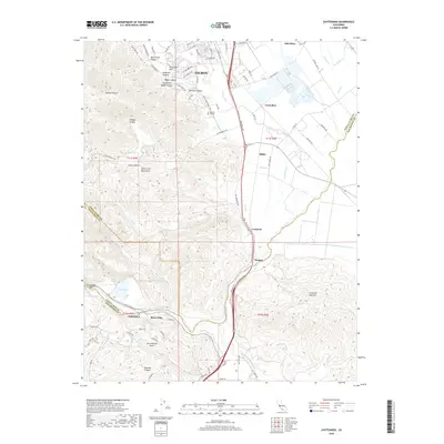 2018 Chittenden2018 Print · USGSThe intersection of three California counties and the active San Andreas Fault define this territory in 2018. Researchers can trace the layout of Gilroy, locate Gavilan College, and explore the rural settlements of Old Gilroy, Sargent, and River Oaks.
 - 2021 Map of Watsonville East, 2021 Print
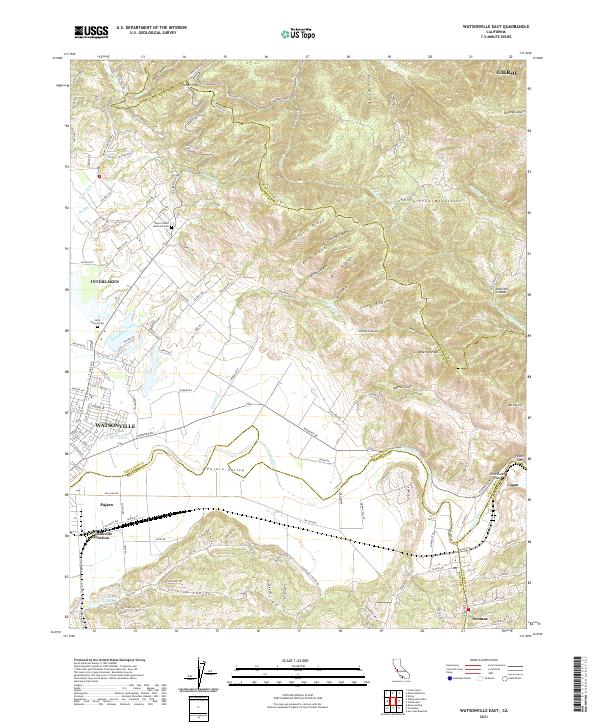 2021 Watsonville East2021 Print · USGSThe fertile Pajaro Valley and southern Santa Cruz Mountains meet in this recent survey of the tri-county border area. Researchers can trace land use patterns near Watsonville Junction or locate family sites at Saint Francis Cem and Aromas.
 - 2021 Map of Mount Madonna, 2021 Print
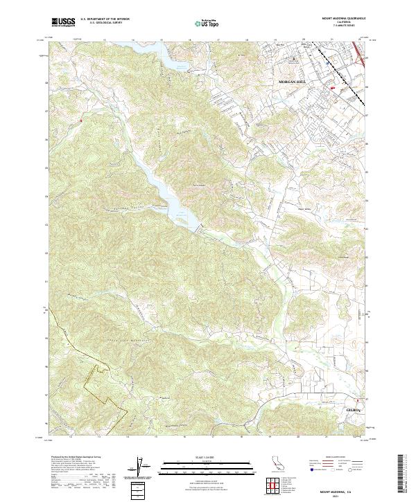 2021 Mount Madonna2021 Print · USGSThe southern end of the Santa Clara Valley meets the mountains in the early twenty-first century as urban development reaches the base of El Toro. Genealogists and historians can trace the transition from Morgan Hill city streets to rural landmarks like Mount Hope Memorial Park and Uvas Reservoir.
 - 2021 Map of Chittenden, 2021 Print
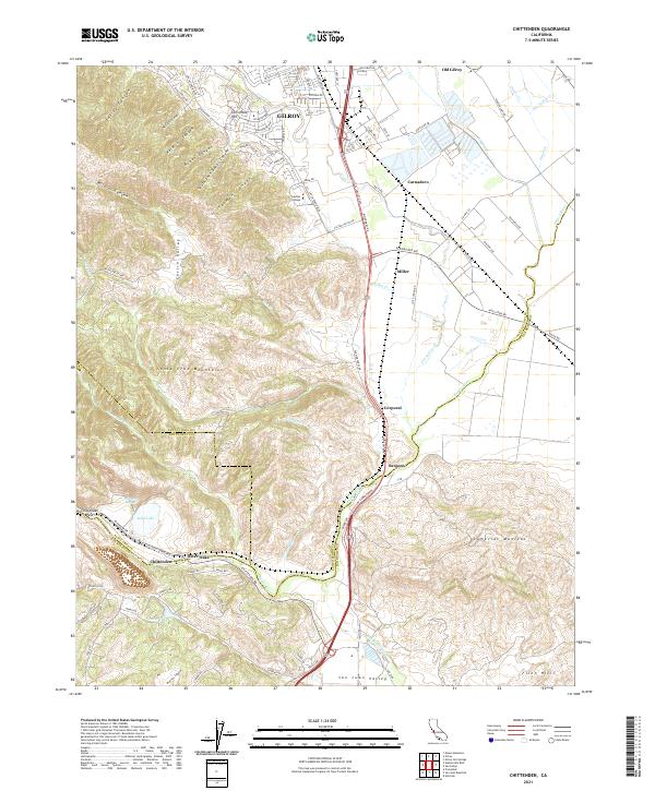 2021 Chittenden2021 Print · USGSThe southern Santa Clara Valley meets the foothills of the Santa Cruz Mountains in this recent survey. Local historians can trace the transition from GILROY to Old Gilroy and locate landmarks like Soda Lake, Gavilan College, and the historic Sargent settlement.
 - 2021 Map of Gilroy, 2021 Print
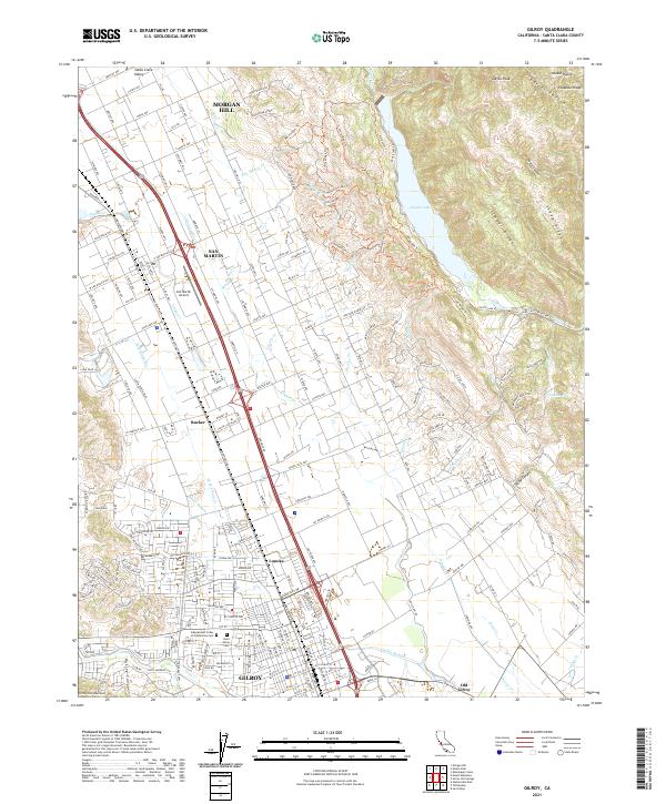 2021 Gilroy2021 Print · USGSThe Santa Clara Valley is captured here in the early twenty-first century, showing the established corridors between Gilroy and Morgan Hill. Researchers can trace local history through the Union Pacific line and sites like Old Gilroy or Saint Marys Cem.
End of results
Showing maps 1-16 of 16
Top cities near Gilroy
- San Jose historical maps
- Watsonville historical maps
- Morgan Hill historical maps
- Hollister historical maps
- Prunedale historical maps
- Pajaro historical maps
See more
Top neighborhoods of Gilroy
Frequently asked questions
- What are the different types of historical maps available for Gilroy?
- What is the oldest map of Gilroy?
- Where can I purchase historical maps of Gilroy for my home or office?
- Where can I download high-res historical maps of Gilroy?
- Are there historical topographic maps available for Gilroy?
- Is there historical aerial imagery available for Gilroy?
- Where are historical maps of Gilroy sourced from?