Old Maps of Spalding Corner, California for Hiking & Exploration
Hike through history with 16 historic maps of Spalding Corner. Explore old trails, ghost towns, and forgotten backroads — perfect for outdoor adventurers and local explorers.
- Rediscover forgotten places: Map out old mining camps, roads, and footpaths that no longer exist on modern maps.
- Layer with modern tools: Combine with LiDAR or satellite views to plan hikes through historical terrain.
- Made for exploration: Popular among hikers, overlanders, and local history lovers.
Use these maps to find adventure and explore the hidden past of Spalding Corner.
Spalding Corner, CA maps
(16)- 1886 Map of Modoc Lava Bed
 1886 Modoc Lava Bed1886 Print · USGSNortheastern California is surveyed here in the years following the Modoc War, showing the volcanic terrain of the Modoc Lava Bed and early river settlements. Trace pioneer history through Modoc Rifle Pits, a Ferry on the Pit River, and old outposts like Bieber and Lookout.
 - 1892 Map of Modoc Lava-Bed
 1892 Modoc Lava-Bed1892 Print · USGSNortheastern California's volcanic terrain is meticulously charted in the 1890s, before modern irrigation altered the great northern basins. Genealogists and historians can locate early outposts like Burgettville, the Modoc Rifle Pit, and the high-altitude Ice Cave.7 unique versions available
 - 1932 Map of Bartle
 1932 Bartle1932 Print · USGSThe timberlands of Siskiyou and Shasta counties are shown here in the early 1930s as logging and forestry infrastructure expanded. Researchers can locate remote outposts like Star City, rural schoolhouses including Island Dist Sch, and the Burney Fish Hatchery.
 - 1939 Map of Bartle
 1939 Bartle1939 Print · USGSUpper California's timber and rail landscape is captured here in the late 1930s, showing the intersection of the McCloud River and Fall River drainages. Researchers can trace the M C Cloud River R R through Bartle and Pondosa, or locate remote sites like Kosk Sch and the Pilgrim Creek Nursery Guard Sta.3 unique versions available
 - 1954 Map of Alturas, 1968 Print
 1954 Alturas1968 Print · USGSThe Modoc Plateau and Surprise Valley appear in the mid-1950s as a landscape of remote ranching towns and vast wildlife refuges. Researchers can trace early settlements like Fort Bidwell, locate the McArthur Grain Elevator, and follow the Southern Pacific rail lines.4 unique versions available
 - 1958 Map of Alturas
 1958 Alturas1958 Print · USGSThe Modoc Plateau and Warner Mountains appear here during the late fifties, showcasing a landscape of high-desert ranching and volcanic terrain. Researchers can trace the rail-and-water economy through Alturas, Cedarville, and the Fort Bidwell Indian Res.2 unique versions available
 - 1961 Map of Pondosa, 1963 Print
 1961 Pondosa1963 Print · USGSShasta County timber and water resources are in focus during the early sixties, as logging roads and rail grades weave through the Cascades. Genealogists and researchers can locate the Dana Cem, the old settlement of Pondosa, and the grounds of Mc Arthur-Burney Falls Memorial State Park.2 unique versions available
 - 1962 Map of Alturas
 1962 Alturas1962 Print · USGSThe high desert of Modoc and Siskiyou counties is shown in the early sixties as a hub of timber, rail, and agriculture. Genealogists and historians can trace rail-side life via the Southern Pacific RR, the Tionesta PO, and the McArthur Grain Elevator.
 - 1965 Map of Alturas
 1965 Alturas1965 Print · USGSNortheastern California and southern Oregon appear in this mid-century survey of the high plateau and volcanic highlands. Researchers can trace the path of the Southern Pacific railroad through Alturas or locate rural outposts like Stronghold and Eagleville.
 - 1984 Map of McArthur
 1984 McArthur1984 Print · USGSThe northern California high country near McArthur is captured in the mid-1980s, showcasing a landscape of volcanic peaks and river valleys. Genealogists and historians can trace the rail connections at Nubieber and Bieber, or locate family sites near Pittville and Glenburn.
 - 1990 Map of East of Pondosa
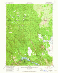
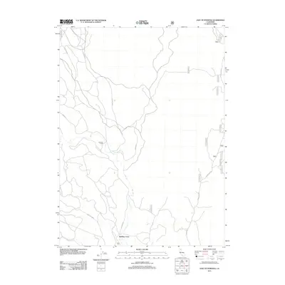
 1990 East of Pondosa1990 Print · USGSThe timberlands of Northern California appear in the 1990s as a landscape defined by volcanic geology and forest management. Researchers can trace remote junctions like Hammond Crossing and Spalding Corner near the banks of Bear Creek.
 - 1995 Map of East of Pondosa, 1997 Print
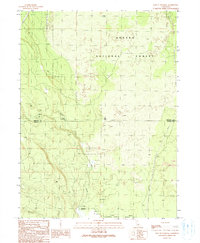
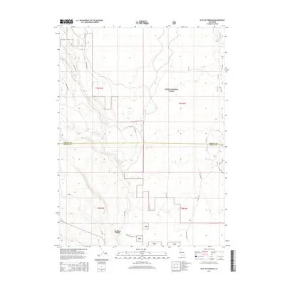
 1995 East of Pondosa1997 Print · USGSThe Siskiyou and Shasta county line passes through this timbered wilderness in the mid-1990s as it gives way to volcanic flats. Trace the remote junctions of Hammond Crossing and Spalding Corner or follow the path of Bear Creek past rugged lava flows.
 - 2012 Map of East of Pondosa, 2012 Print
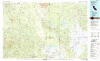
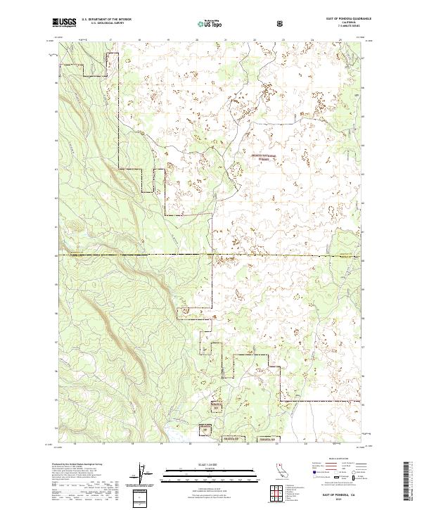
 2012 East of Pondosa2012 Print · USGSCovers Spalding Corner, including Shasta County, Siskiyou County, and other nearby areas
 - 2015 Map of East of Pondosa, 2015 Print
 2015 East of Pondosa2015 Print · USGSCovers Spalding Corner, including Shasta County, Siskiyou County, and other nearby areas
 - 2018 Map of East of Pondosa, 2018 Print
 2018 East of Pondosa2018 Print · USGSCovers Spalding Corner, including Shasta County, Siskiyou County, and other nearby areas
 - 2021 Map of East of Pondosa, 2021 Print
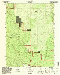
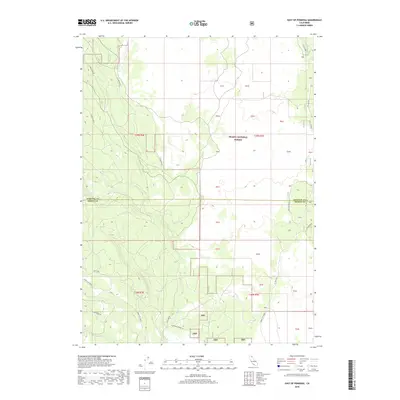
 2021 East of Pondosa2021 Print · USGSSiskiyou and Shasta counties meet in this high-elevation forest landscape during the early 2020s. Researchers can trace historic access routes like Old Co Rd and Mcarthur Rd alongside modern utility lines like the Pit Gas Pipe.
End of results
Showing maps 1-16 of 16
Frequently asked questions
- What are the different types of historical maps available for Spalding Corner?
- What is the oldest map of Spalding Corner?
- Where can I purchase historical maps of Spalding Corner for my home or office?
- Where can I download high-res historical maps of Spalding Corner?
- Are there historical topographic maps available for Spalding Corner?
- Is there historical aerial imagery available for Spalding Corner?
- Where are historical maps of Spalding Corner sourced from?