
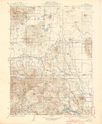
1939 Map of Bartle
USGS Topo · Published 1939About this map
The M C Cloud River R R serves as a vital artery through this Siskiyou and Shasta County landscape, connecting timber interests and remote outposts. Settlement is concentrated at rail-accessible points such as Bartle, Hambone, and Pondosa, while the surrounding terrain is defined by complex water systems and volcanic features. Numerous wells and springs, including Deter Well and Belnap Spring, suggest a reliance on groundwater for both forestry operations and localized ranching at places like Wiley Ranch.
Find a feature on this map
115 named features on this map. Tap any name to fly to it.
Don’t see what you’re looking for? This feature index may not catch every label — zoom into the map to look around manually.
Map Details
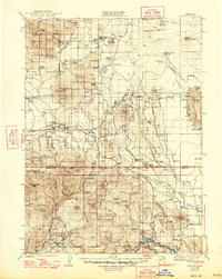
Editions of this 1939 Bartle Map
3 editions found
Other maps of this area

1886 · Lassen Peak
USGS Topo · 1:250,000

1886 · Modoc Lava Bed
USGS Topo · 1:250,000

1886 · Shasta
USGS Topo · 1:250,000

1890 · Red Bluff
USGS Topo · 1:250,000

1892 · Modoc Lava-Bed
USGS Topo · 1:250,000

1892 · Lassen Peak
USGS Topo · 1:250,000

1894 · Lassen Peak
USGS Topo · 1:250,000

1894 · Red Bluff
USGS Topo · 1:250,000

1894 · Shasta
USGS Topo · 1:250,000

1901 · Redding
USGS Topo · 1:125,000