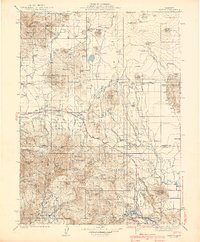
1939 Map of Bartle
USGS Topo · Published 1939About this map
The McCloud River and Pit River systems dominate this 1930s landscape at the junction of Siskiyou and Shasta counties. Settlement is anchored by the logging and railroad junction at Bartle, where the Mt Shasta RR meets the regional highway. The map captures a transition in the timber economy, evidenced by the presence of the Pilgrim Creek Nursery Guard Sta and the Slagger Camp.
Find a feature on this map
83 named features on this map. Tap any name to fly to it.
Don’t see what you’re looking for? This feature index may not catch every label — zoom into the map to look around manually.
Map Details
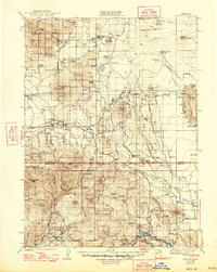
Editions of this 1939 Bartle Map
3 editions found

Other maps of this area

1886 · Lassen Peak
USGS Topo · 1:250,000

1886 · Modoc Lava Bed
USGS Topo · 1:250,000

1886 · Shasta
USGS Topo · 1:250,000

1890 · Red Bluff
USGS Topo · 1:250,000

1892 · Modoc Lava-Bed
USGS Topo · 1:250,000

1892 · Lassen Peak
USGS Topo · 1:250,000

1894 · Lassen Peak
USGS Topo · 1:250,000

1894 · Red Bluff
USGS Topo · 1:250,000

1894 · Shasta
USGS Topo · 1:250,000

1901 · Redding
USGS Topo · 1:125,000