2000s (21st Century) Maps of Larkfield-Wikiup, California
Explore 16 historic maps of Larkfield-Wikiup from the 2000s (21st Century). These maps offer a rare glimpse into what life looked like during the 2000s — showing old roads, neighborhoods, homes, and landmarks that have changed or disappeared over time.
Whether you're researching your family's past, planning a metal detecting trip, or studying how Larkfield-Wikiup's landscape evolved across the 2000s, these high-resolution maps are a powerful tool for exploring the history of this region.
- Focus on a specific era: All maps on this page are from the 2000s, giving you a focused view of this time period.
- See what’s changed: Compare century-old streets, trails, and buildings to today's modern landscape using overlays and satellite layers.
- Research with precision: Use these maps for genealogy, historical research, land use analysis, or educational projects.
- View, download, or print: Maps are fully viewable online in high resolution, and can be downloaded or printed for your own records.
Start exploring Larkfield-Wikiup's history through authentic maps from the 2000s. This is your window into the past.
Larkfield-Wikiup, CA maps
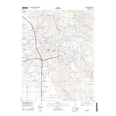
(16)- 2012 Map of Santa Rosa, 2012 Print
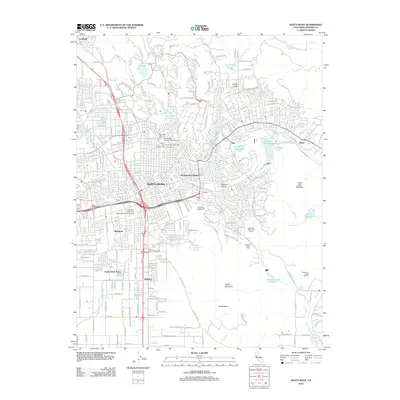 2012 Santa Rosa2012 Print · USGSCovers Larkfield-Wikiup, including Santa Rosa, Bellevue, and other nearby areas
 - 2012 Map of Sebastopol, 2012 Print
 2012 Sebastopol2012 Print · USGSCovers Larkfield-Wikiup, including Santa Rosa, Windsor, and other nearby areas
 - 2012 Map of Mark West Springs, 2012 Print
 2012 Mark West Springs2012 Print · USGSCovers Larkfield-Wikiup, including Santa Rosa, Mark West Springs, and other nearby areas
 - 2012 Map of Healdsburg, 2012 Print
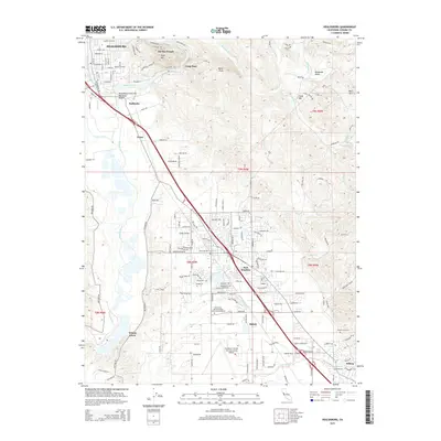
 2012 Healdsburg2012 Print · USGSCovers Larkfield-Wikiup, including Windsor, Healdsburg, and other nearby areas
 - 2015 Map of Sebastopol, 2015 Print
 2015 Sebastopol2015 Print · USGSCovers Larkfield-Wikiup, including Santa Rosa, Windsor, and other nearby areas
 - 2015 Map of Mark West Springs, 2015 Print
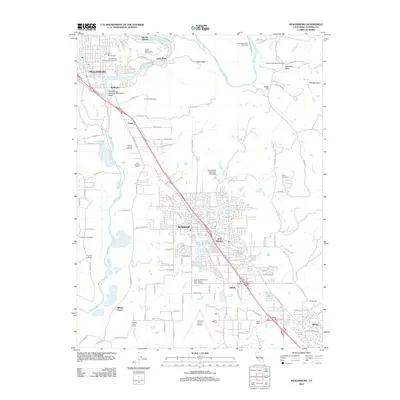
 2015 Mark West Springs2015 Print · USGSCovers Larkfield-Wikiup, including Santa Rosa, Mark West Springs, and other nearby areas
 - 2015 Map of Healdsburg, 2015 Print
 2015 Healdsburg2015 Print · USGSCovers Larkfield-Wikiup, including Windsor, Healdsburg, and other nearby areas
 - 2015 Map of Santa Rosa, 2015 Print
 2015 Santa Rosa2015 Print · USGSCovers Larkfield-Wikiup, including Santa Rosa, Bellevue, and other nearby areas
 - 2018 Map of Sebastopol, 2018 Print
 2018 Sebastopol2018 Print · USGSCovers Larkfield-Wikiup, including Santa Rosa, Windsor, and other nearby areas
 - 2018 Map of Santa Rosa, 2018 Print
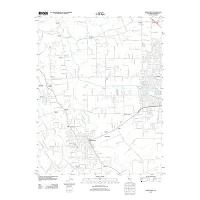
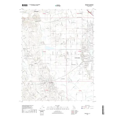
 2018 Santa Rosa2018 Print · USGSCovers Larkfield-Wikiup, including Santa Rosa, Bellevue, and other nearby areas
 - 2018 Map of Mark West Springs, 2018 Print
 2018 Mark West Springs2018 Print · USGSCovers Larkfield-Wikiup, including Santa Rosa, Mark West Springs, and other nearby areas
 - 2018 Map of Healdsburg, 2018 Print
 2018 Healdsburg2018 Print · USGSCovers Larkfield-Wikiup, including Windsor, Healdsburg, and other nearby areas
 - 2021 Map of Sebastopol, 2021 Print
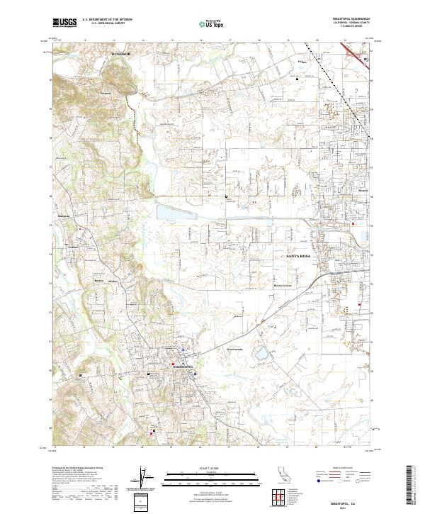 2021 Sebastopol2021 Print · USGSSonoma County's agricultural heartland and growing suburbs are documented here in the early 2020s. Genealogists and local historians can locate family landmarks such as the Steele Family Cem, the settlement at Riccas Corner, and the rural routes near Vine Hill.
 - 2021 Map of Mark West Springs, 2021 Print
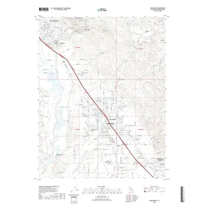
 2021 Mark West Springs2021 Print · USGSThe foothills and canyons of Sonoma County are documented here in the early 2020s, showing the intersection of mountain terrain and rural settlements. Researchers can trace the winding paths of Petrified Forest Rd or locate landmarks like Mark West Springs and Lake Orth.
 - 2021 Map of Healdsburg, 2021 Print
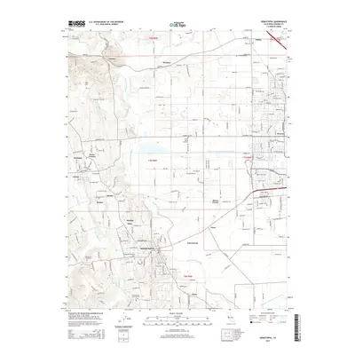
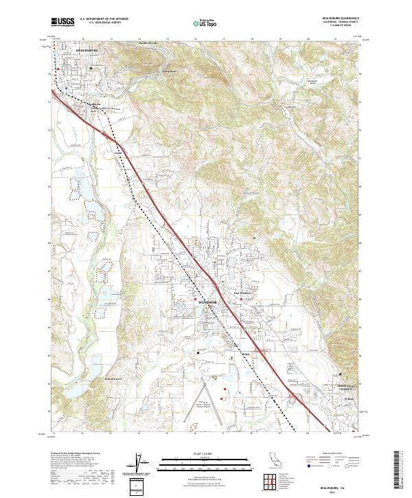 2021 Healdsburg2021 Print · USGSCentrally located in Sonoma County, this recent survey captures the modern landscape of the Russian River valley and its surrounding hills. Researchers can trace family history through Oak Mound Cem, locate the Charles M Schulz - Sonoma County Airport, and follow the historic Northwestern Pacific RR.
 - 2021 Map of Santa Rosa, 2021 Print
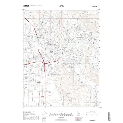
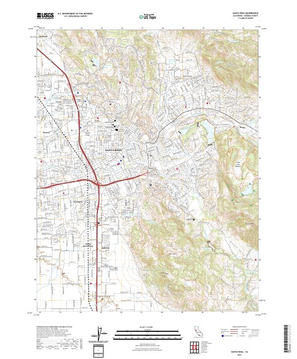 2021 Santa Rosa2021 Print · USGSSanta Rosa and its surrounding valleys are shown here in the early 2020s, highlighting the city's growth alongside its rugged eastern foothills. Genealogists can trace family sites at the Santa Rosa Rural Cem or Calvary Catholic Cem, while hikers can map the complex trail network around Taylor Mtn.
End of results
Showing maps 1-16 of 16
Top cities near Larkfield-Wikiup
- Santa Rosa historical maps
- Petaluma historical maps
- Rohnert Park historical maps
- Windsor historical maps
- Healdsburg historical maps
- Sebastopol historical maps
See more
Frequently asked questions
- What are the different types of historical maps available for Larkfield-Wikiup?
- What is the oldest map of Larkfield-Wikiup?
- Where can I purchase historical maps of Larkfield-Wikiup for my home or office?
- Where can I download high-res historical maps of Larkfield-Wikiup?
- Are there historical topographic maps available for Larkfield-Wikiup?
- Is there historical aerial imagery available for Larkfield-Wikiup?
- Where are historical maps of Larkfield-Wikiup sourced from?