2020s Maps of Tulare County, California
Explore 107 historic maps of Tulare County from the 2020s. These maps offer a rare glimpse into what life looked like during the 2020s — showing old roads, neighborhoods, homes, and landmarks that have changed or disappeared over time.
Whether you're researching your family's past, planning a metal detecting trip, or studying how Tulare County's landscape evolved across the 2020s, these high-resolution maps are a powerful tool for exploring the history of this region.
- Focus on a specific era: All maps on this page are from the 2020s, giving you a focused view of this time period.
- See what’s changed: Compare century-old streets, trails, and buildings to today's modern landscape using overlays and satellite layers.
- Research with precision: Use these maps for genealogy, historical research, land use analysis, or educational projects.
- View, download, or print: Maps are fully viewable online in high resolution, and can be downloaded or printed for your own records.
Start exploring Tulare County's history through authentic maps from the 2020s. This is your window into the past.
Tulare County, CA maps
(107)- 2021 Map of Giant Forest, 2021 Print
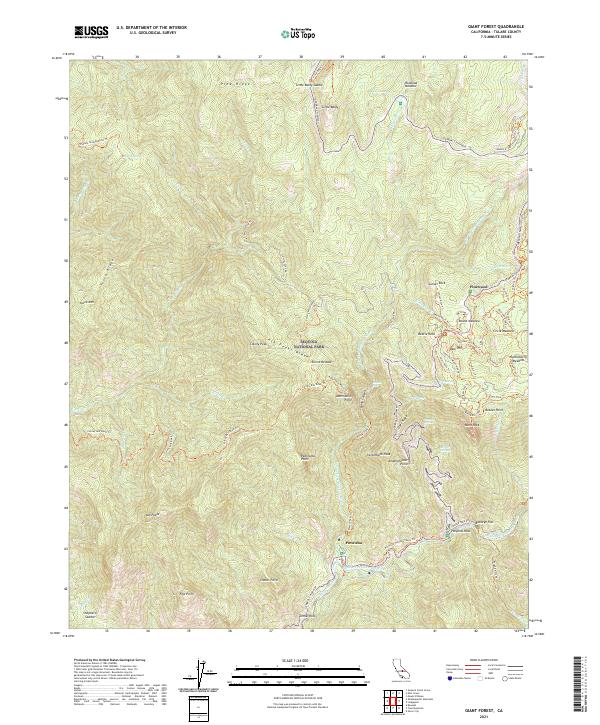 2021 Giant Forest2021 Print · USGSSequoia National Park's high sierra landscape is captured here in the early twenty-first century, showing the intersection of road and trail infrastructure. Trace the routes of the Generals Highway past landmarks like Tunnel Rock and Moro Rock or find quiet sites at Buckeye Flat.
 - 2021 Map of Reedley, 2021 Print
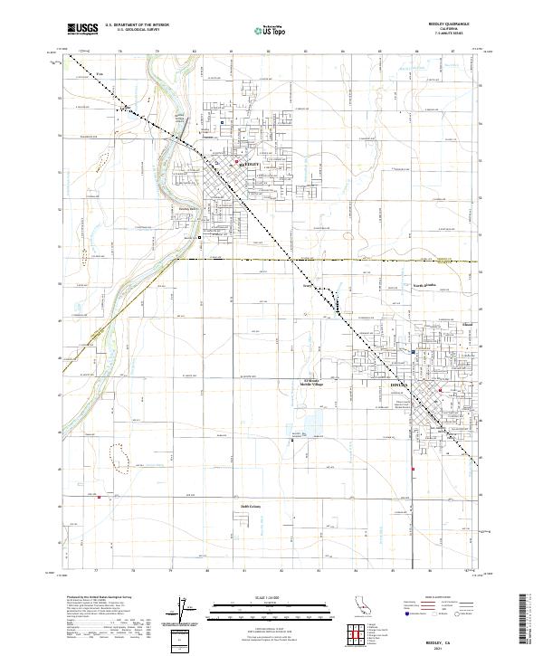 2021 Reedley2021 Print · USGSThe agricultural corridor of the San Joaquin Valley is shown in detail during the early 2020s, centered on the communities of Reedley and Dinuba. Genealogists and local historians can trace the irrigation networks and family-settled areas like Delft Colony, Lacjac, and the Reedley Cem.
 - 2021 Map of Success Dam, 2021 Print
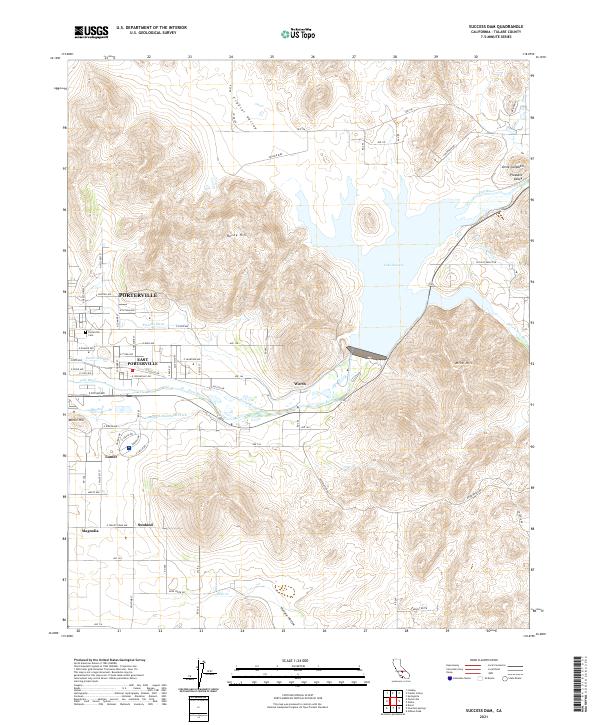 2021 Success Dam2021 Print · USGSTulare County's agricultural and urban boundary is clearly defined here in the early twenty-first century, centered on the critical waters of Lake Success. Researchers can trace irrigation history through the Pioneer Ditch and Porter Slough, or locate family sites near the Porterville Cem and Lumer.
 - 2021 Map of Kern Lake, 2021 Print
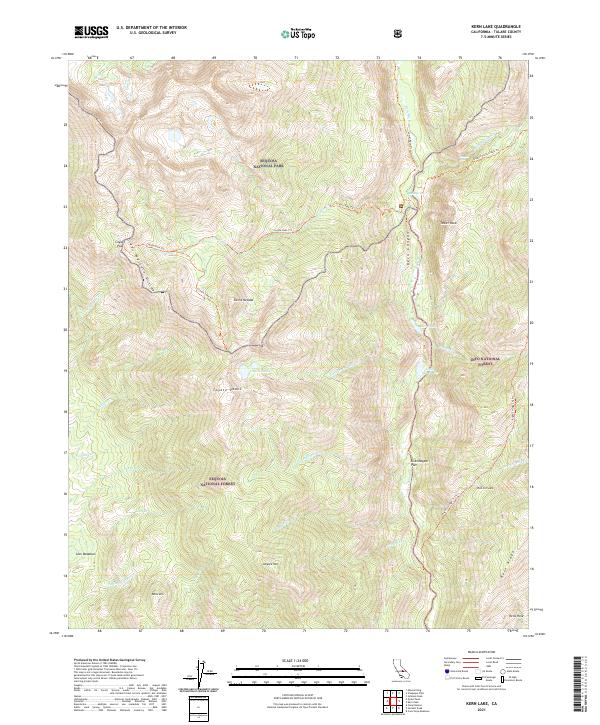 2021 Kern Lake2021 Print · USGSThe High Sierra backcountry is documented in the early twenty-first century as it spans three major protected wilderness areas. Hikers and historians can trace high-altitude routes like the Coyote Pass Trail past Kern Lake, Lion Meadows, and Volcano Falls.
 - 2021 Map of Triple Divide Peak, 2021 Print
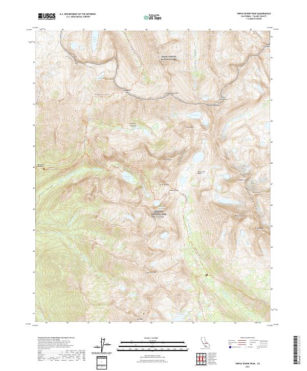 2021 Triple Divide Peak2021 Print · USGSThe High Sierra crest comes into focus in this modern survey of the wilderness where two national parks meet. Backcountry travelers and geologists can trace the steep routes through Elizabeth Pass, the heights of Triple Divide Peak, and the alpine waters of Hamilton Lakes.
 - 2021 Map of Cairns Corner, 2021 Print
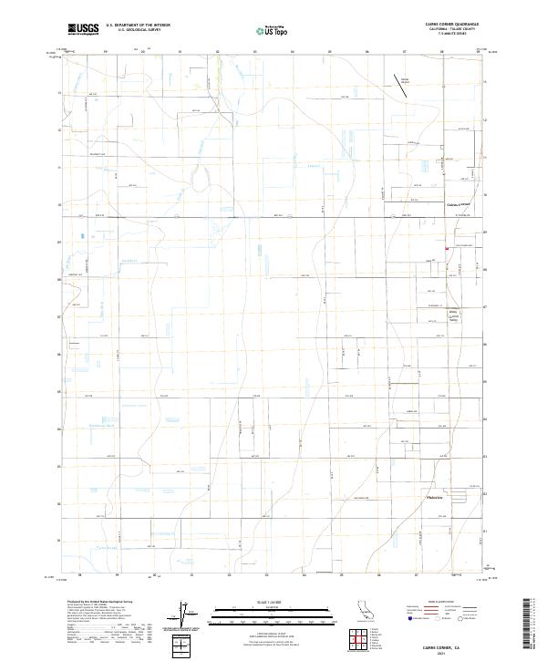 2021 Cairns Corner2021 Print · USGSThe Tulare County countryside in the early 2020s reveals a sophisticated network of irrigation canals and rural settlements. Genealogists and local historians can trace the paths of Porter Slough, locate Exeter Airport, and explore the layout of Cairns Corner and Plainview.
 - 2021 Map of Chickencoop Canyon, 2021 Print
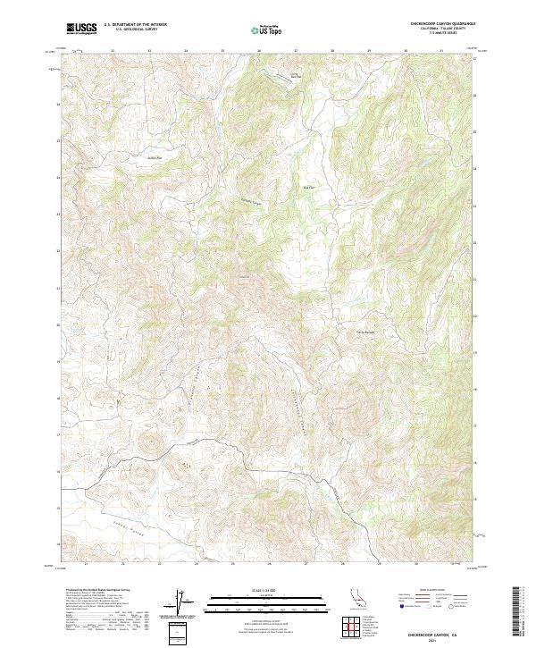 2021 Chickencoop Canyon2021 Print · USGSThe foothills of the Sierra Nevada are mapped here in the early twenty-first century, showing a landscape defined by ranching flats and seasonal creeks. Researchers can trace the path of Yokohl Dr through Yokohl Valley or locate landmarks like Potato Hill and Jordan Flat.
 - 2021 Map of Mineral King, 2021 Print
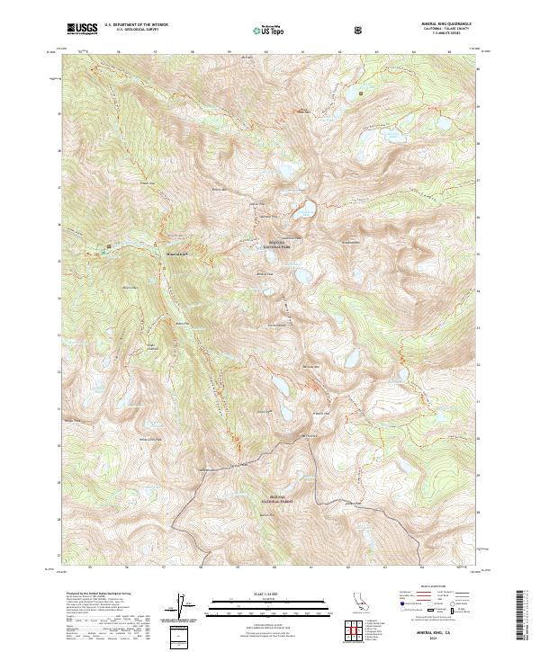 2021 Mineral King2021 Print · USGSMineral King and the southern Sierra Nevada high country are shown here in the early twenty-first century. Researchers can trace the paths of old prospecting routes and mountain passes, including Miners Ridge, Farewell Gap, and Eagle Sinkhole.
 - 2021 Map of Ivanhoe, 2021 Print
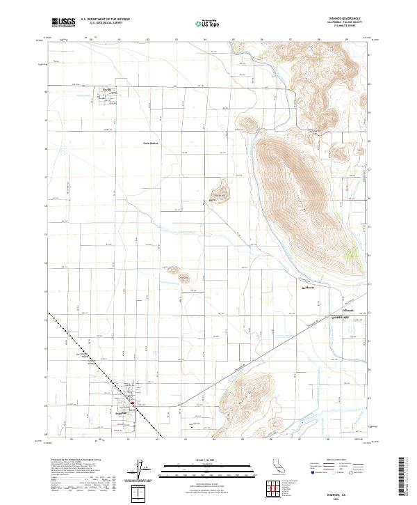 2021 Ivanhoe2021 Print · USGSTulare County's agricultural heartland and the Sierra foothills meet in this recent survey of the Ivanhoe and Woodlake area. Genealogists and local historians can trace irrigation networks like the Wutchumna Ditch and locate landmarks such as Lone Oak Cem.
 - 2021 Map of Olancha, 2021 Print
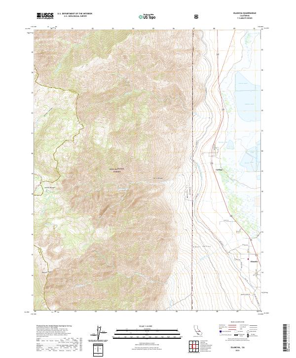 2021 Olancha2021 Print · USGSThe eastern slopes of the Sierra Nevada meet the Owens Valley floor in this 2021 study of the California high desert. Researchers can trace the path of the L A Aqueduct past historic settlements like Olancha and Cartago near the shores of Owens Lake.
 - 2021 Map of Mount Brewer, 2021 Print
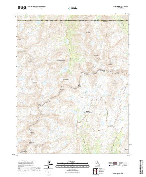 2021 Mount Brewer2021 Print · USGSThe high Sierra Nevada crest comes into focus in this recent survey, capturing the meeting point of two major national parks. Hikers and researchers can trace the high-altitude route of the Pacific Crest National Scenic Trl past landmarks like Mt Brewer and the alpine Lake South America.
 - 2021 Map of Woodville, 2021 Print
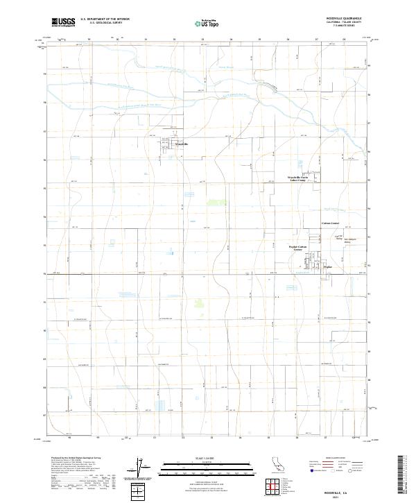 2021 Woodville2021 Print · USGSTulare County's agricultural heartland is captured in this recent survey of the San Joaquin Valley. Researchers can trace irrigation networks and small-town footprints across Woodville, the Woodville Farm Labor Camp, and Cotton Center.
 - 2021 Map of Monache Mountain, 2021 Print
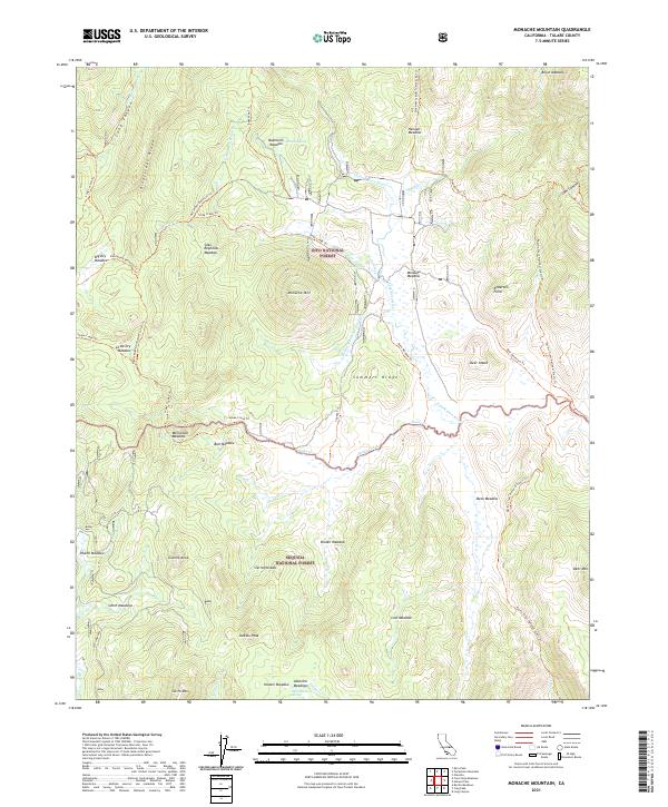 2021 Monache Mountain2021 Print · USGSThe Tulare County high country comes alive in this survey of the southern Sierra Nevada during the early twenty-first century. Researchers can trace historic mountain routes like the Old Jordan Dennison Trl and Bakeoven Trl as they thread through Monache Meadow and past Jackass Peak.
 - 2021 Map of Tipton, 2021 Print
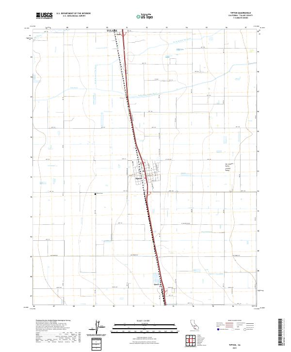 2021 Tipton2021 Print · USGSTulare County's agricultural landscape is seen here in recent years, centered on the transit and irrigation networks of the San Joaquin Valley. Researchers can trace local genealogy and land use near Tipton, the Tipton Cem, and the small siding at Quail.
 - 2021 Map of Corcoran, 2021 Print
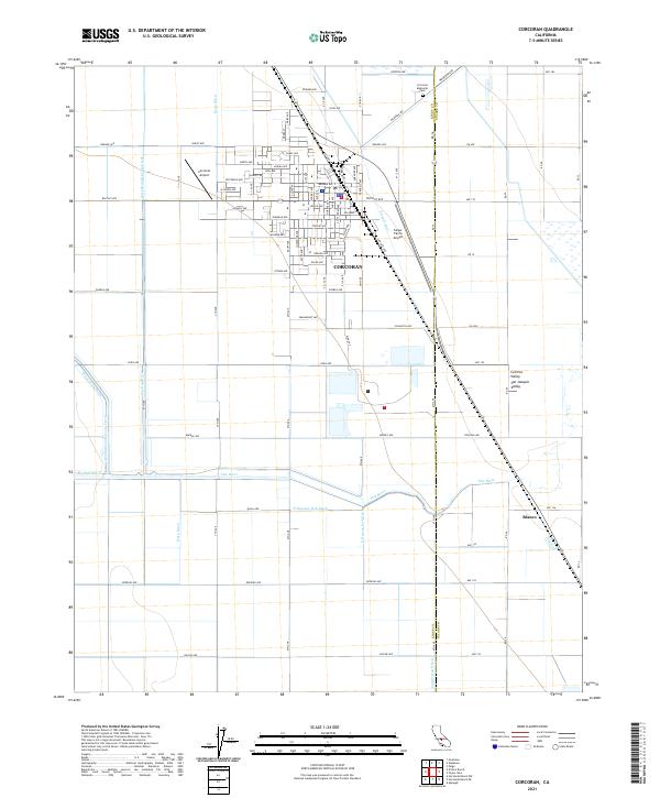 2021 Corcoran2021 Print · USGSCorcoran and the surrounding San Joaquin Valley are captured in this recent survey of California's agricultural heartland. Researchers can trace irrigation networks like the Helm-Lewis Ditch and Tule River or locate family sites at Corcoran Memorial Park and Blanco.
 - 2021 Map of Bonita Meadows, 2021 Print
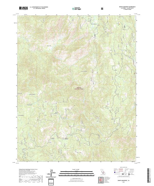 2021 Bonita Meadows2021 Print · USGSThe high Sierra Nevada backcountry in Tulare County is captured here in the early twenty-first century. Researchers can trace remote trails and landmarks like Sherman Pass to historic grazing sites at Beach Meadows and Bonita Meadows.
 - 2021 Map of Springville, 2021 Print
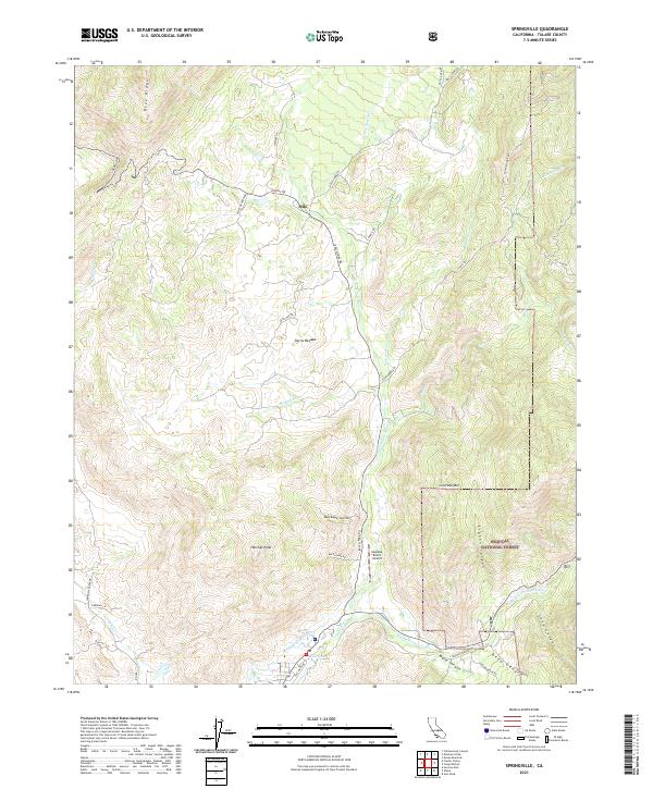 2021 Springville2021 Print · USGSThe Tulare County foothills meet the Sierra Nevada mountains in the early 2020s, showing a landscape defined by the forks of the Tule River. Genealogists and historians can trace routes like Balch Park Rd to settlements such as Milo and the Sequoia Ranch Airport.
 - 2021 Map of Camp Nelson, 2021 Print
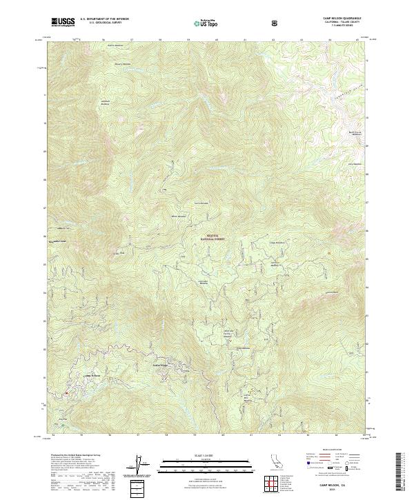 2021 Camp Nelson2021 Print · USGSHigh in the Sierra Nevada during the early twenty-first century, this area shows a landscape of mountain retreats and forest meadows. Researchers can trace the layout of Camp Nelson and Sequoia Crest or locate historic sites like Log Cabin Meadow and Hermit Rock.
 - 2021 Map of Monson, 2021 Print
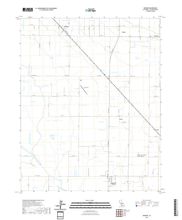 2021 Monson2021 Print · USGSThe San Joaquin Valley landscape reveals its complex irrigation network and small farming communities in this contemporary survey. Genealogists and local historians can trace family locations near Monson, Sequoia Field, and the residential Patterson Tract.
 - 2021 Map of Globe, 2021 Print
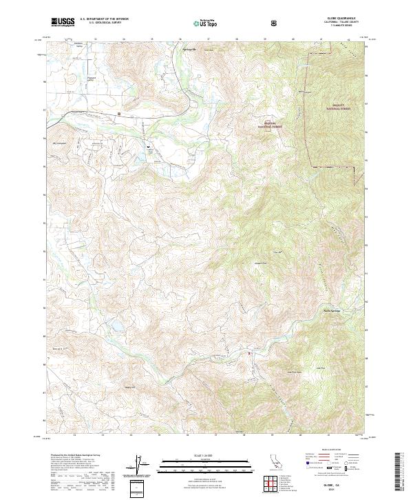 2021 Globe2021 Print · USGSThe Tulare County foothills come alive in this recent survey of the Sierra Nevada's western edge. Local historians can trace the irrigation network of the Tule River and locate family landmarks like the Crabtree - Globe Cem and Soda Springs.
 - 2021 Map of Mount Clarence King, 2021 Print
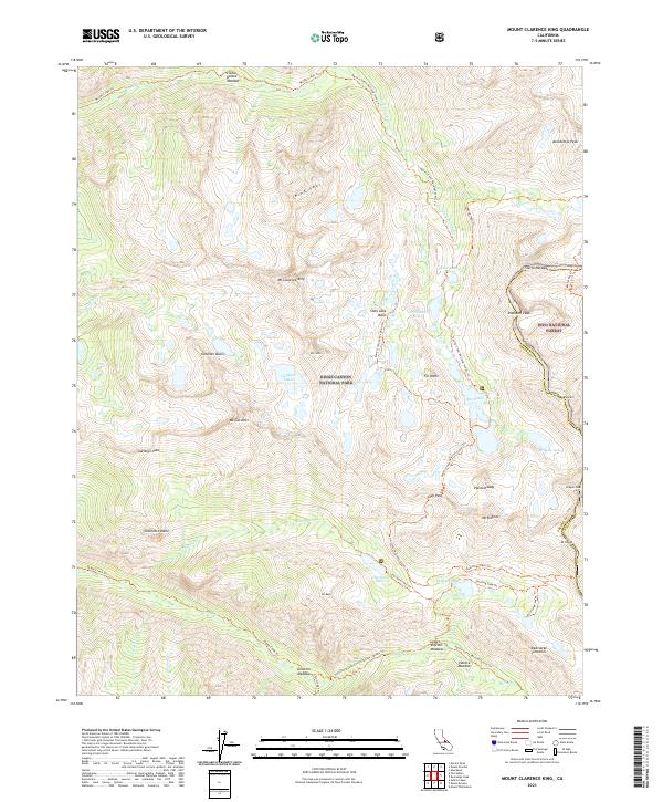 2021 Mount Clarence King2021 Print · USGSThe High Sierra divide comes alive in this modern survey of the wilderness where Fresno and Inyo counties meet. Hikers and historians can trace the iconic Pacific Crest National Scenic Trail as it summits Glen Pass and passes by Rae Lakes and Bullfrog Lake.
 - 2021 Map of Johnson Peak, 2021 Print
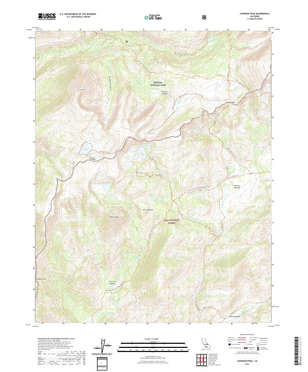 2021 Johnson Peak2021 Print · USGSThe high Sierra Nevada wilderness is captured here in the early twenty-first century, showing the rugged intersection of national park and forest lands. Researchers and hikers can trace the Pacific Crest National Scenic Trl through landmarks like Siberian Pass and Whitney Meadow.
 - 2021 Map of Shadequarter Mountain, 2021 Print
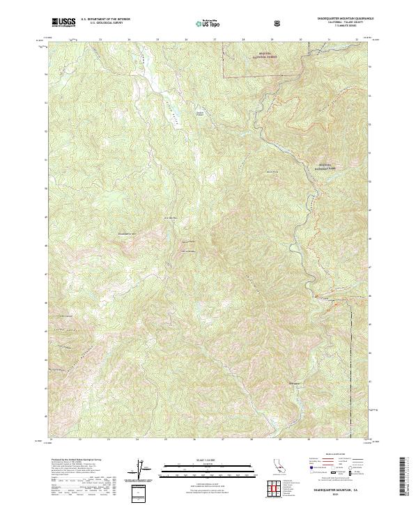 2021 Shadequarter Mountain2021 Print · USGSTulare County's steep Sierra foothills are documented here in the modern era, where national forest and park boundaries meet. Genealogists and hikers can trace historic routes like Stagecoach Drive and Colony Mill Road Trail near Advance.
 - 2021 Map of Waukena, 2021 Print
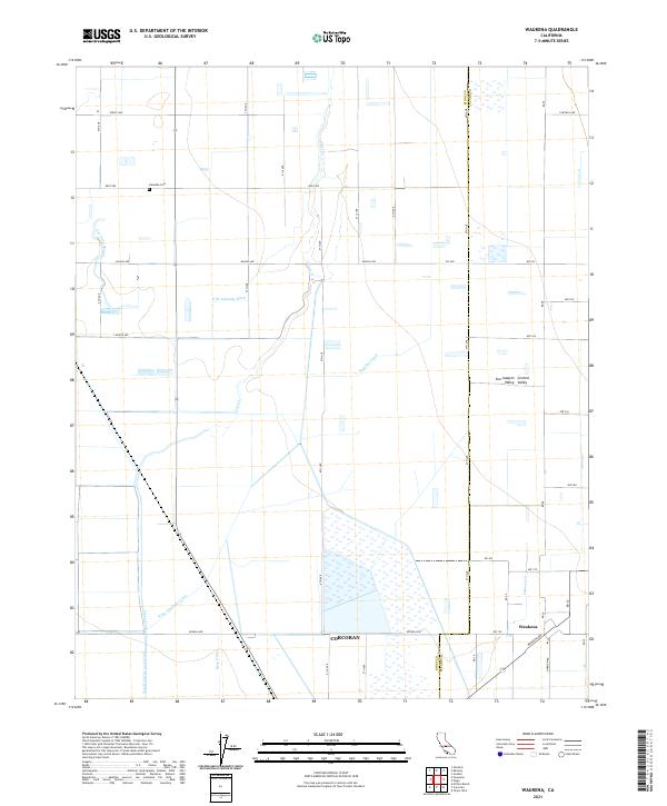 2021 Waukena2021 Print · USGSThe Tulare County agricultural landscape at the edge of the Tulare Basin is captured here in the early 2020s. Researchers can trace the sophisticated irrigation network of the Highline Canal and Bean Ditch surrounding the settlement of Waukena.
 - 2021 Map of Mount Silliman, 2021 Print
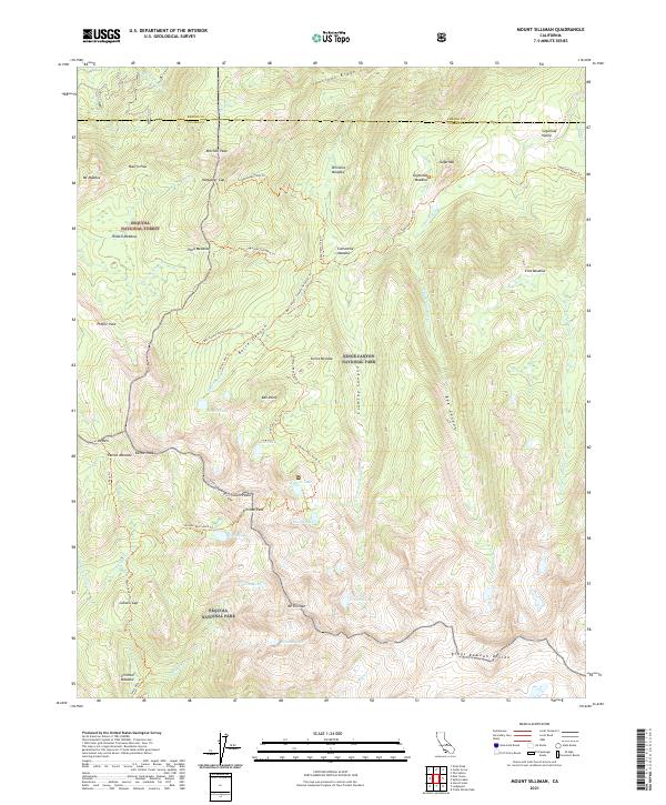 2021 Mount Silliman2021 Print · USGSThe high Sierra Nevada wilderness is documented in this recent survey of the Sequoia and Kings Canyon border. Researchers can trace historic backcountry routes like the Silliman Pass North Trl past Ranger Lake and Mt Silliman.
Showing maps 1-25 of 107
Top cities of Tulare County
- Visalia historical maps
- Porterville historical maps
- Tulare historical maps
- Dinuba historical maps
- Exeter historical maps
- Lindsay historical maps
See more
Frequently asked questions
- What are the different types of historical maps available for Tulare County?
- What is the oldest map of Tulare County?
- Where can I purchase historical maps of Tulare County for my home or office?
- Where can I download high-res historical maps of Tulare County?
- Are there historical topographic maps available for Tulare County?
- Is there historical aerial imagery available for Tulare County?
- Where are historical maps of Tulare County sourced from?