Old Maps of Femmons, California for Genealogy
Trace your family roots with 17 historic maps of Femmons. These high-res maps reveal old neighborhoods, homesites, landmarks, and streets — helping you uncover where your ancestors lived and how the area evolved over time.
- Explore historic neighborhoods: Identify where your relatives may have lived in the 1800s or 1900s.
- Compare maps over time: Trace the changes in streets, buildings, and landmarks for multi-generational research.
- Perfect for genealogy & ancestry research: Used by family historians and researchers to map out lineage and migration.
These maps are an incredible resource for exploring your personal connection to Femmons's past.
Femmons, CA maps
(17)- 1893 Map of Sonora
 1893 Sonora1893 Print · USGSThe Mother Lode region comes alive in the early 1890s, showing a landscape defined by mining camps and early river crossings before the big dams. Genealogists and historians can trace old settlements like Chinese Camp and Big Oak Flat, or locate industrial sites like the Olsen Mine and Hobron Mill.
 - 1896 Map of Sonora
 1896 Sonora1896 Print · USGSThe Mother Lode gold country is shown in the late nineteenth century as mining towns and river crossings defined the Sierra Nevada foothills. Genealogists and researchers can trace early routes through Chinese Camp and Coulterville, or locate industrial sites like the Red Cloud Mine and Benton Mill.
 - 1897 Map of Sonora
 1897 Sonora1897 Print · USGSThe Mother Lode region at the close of the nineteenth century is revealed here through its gold-country towns and rugged mining infrastructure. Trace the early footprints of Sonora, Coulterville, and Hornitos alongside sites like the Red Cloud Mine and Ward Ferry.8 unique versions available
 - 1898 Map of Sonora, 1932 Print
 1898 Sonora1932 Print · USGSThe Mother Lode region at the close of the nineteenth century reveals a complex world of river dams and mining camps. Genealogists can trace family names at Chinese Camp or Soulsbyville and locate early industry at the Red Cloud Mine and Bandarita Mine.
 - 1947 Map of San Jose, 1948 Print
 1947 San Jose1948 Print · USGSNorthern California's heartland is captured here just after the war, showing the rapid growth of the Santa Clara and Central Valleys. Researchers can trace the legacy of rail and water at Castle Air Force Base, Stockton, and the Hetch Hetchy Aqueduct.
 - 1948 Map of Tuolumne, 1953 Print
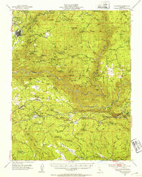 1948 Tuolumne1953 Print · USGSTuolumne County in the late 1940s reveals a rugged landscape of mining camps and early water infrastructure. Genealogists can trace family holdings like Murphy Ranch and Ralph Ranch alongside the historic Sierra RR and the Bret Harte Cabin.4 unique versions available
 - 1948 Map of Duckwall Mtn, 1959 Print
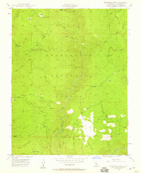 1948 Duckwall Mtn1959 Print · USGSThe Stanislaus National Forest in the late 1940s reveals a high-country landscape of logging operations and remote outposts. Researchers can trace the narrow-gauge Lumber RR and locate historic points like the Quinn Ranch, Femmons, and Thompson Peak Lookout.5 unique versions available
 - 1949 Map of Duckwall Mtn
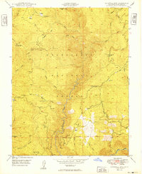 1949 Duckwall Mtn1949 Print · USGSTuolumne County in the late 1940s is shown here as a landscape defined by timber harvesting and mountain ranching. Genealogists and local historians can trace the Lumber R.R. and locate family-named sites like Quinn Ranch and Emmons.2 unique versions available
 - 1956 Map of San Jose
 1956 San Jose1956 Print · USGSCentral California in the mid-fifties reveals the transition from sprawling orchards to growing urban hubs like San Jose and Stockton. Genealogists and historians can trace the rail-era landscape of the Mother Lode through Chinese Camp and Tuttletown, or follow the water through the Joaquin River and Calaveras Reservoir.
 - 1962 Map of San Jose
 1962 San Jose1962 Print · USGSCentral California in the early sixties showcases the expansion of the San Joaquin and Santa Clara valleys. Researchers can trace the rail-to-road transition along the Southern Pacific RR or locate landmarks like Castle USAF Base and Loma Prieta.4 unique versions available
 - 1966 Map of San Jose
 1966 San Jose1966 Print · USGSCentral California in the mid-1960s reveals a landscape of massive irrigation projects and expanding Cold War military footprints. Researchers can trace the rail-and-river network of the San Joaquin Valley or locate specialized sites like Castle Air Force Base and the Sharp General Depot (Military).
 - 1994 Map of Oakdale, 1995 Print
 1994 Oakdale1995 Print · USGSThe San Joaquin Valley meets the Sierra foothills in the mid-1990s, where massive reservoirs and canal networks fueled California's agricultural heartland. Researchers can trace the Hetch Hetchy Aqueduct, find the Sierra RR, and locate the Riverbank Army Ammunition Plant.2 unique versions available
 - 2001 Map of Duckwall Mountain, 2004 Print
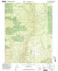 2001 Duckwall Mountain2004 Print · USGSTuolumne County's rugged national forest lands are captured here at the start of the millennium, showing a landscape defined by deep river canyons and high ridges. Researchers can locate remote sites like Quinn Ranch, trace the path of the Clavey River, or find old industrial markers like Duckwall Quarry.2 unique versions available
 - 2012 Map of Duckwall Mountain, 2012 Print
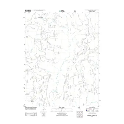 2012 Duckwall Mountain2012 Print · USGSTuolumne County's high-country terrain is captured here in the early 21st century, centered on the complex drainage of the Clavey River. Genealogists and local historians can trace isolated landmarks and seasonal camps like Femmons, Camp Fourty Five, and Walton Cabin Spring.
 - 2015 Map of Duckwall Mountain, 2015 Print
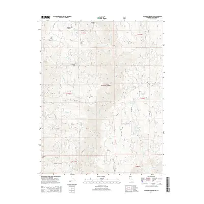 2015 Duckwall Mountain2015 Print · USGSTuolumne County's high forest land is captured here in the mid-2010s, showing a landscape of named meadows and remote ridges. Researchers can trace the drainage of the Clavey River and locate seasonal points like Walton Cabin Spring, Femmons, and Bull Meadow.
 - 2018 Map of Duckwall Mountain, 2018 Print
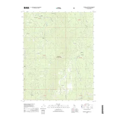 2018 Duckwall Mountain2018 Print · USGSTuolumne County's high forest lands are captured in this 2018 survey of the Sierra Nevada backcountry. Researchers can trace the drainage of the Clavey River and locate historic sites like the Andresen Mine and Whittle Upper Camp.
 - 2021 Map of Duckwall Mountain, 2021 Print
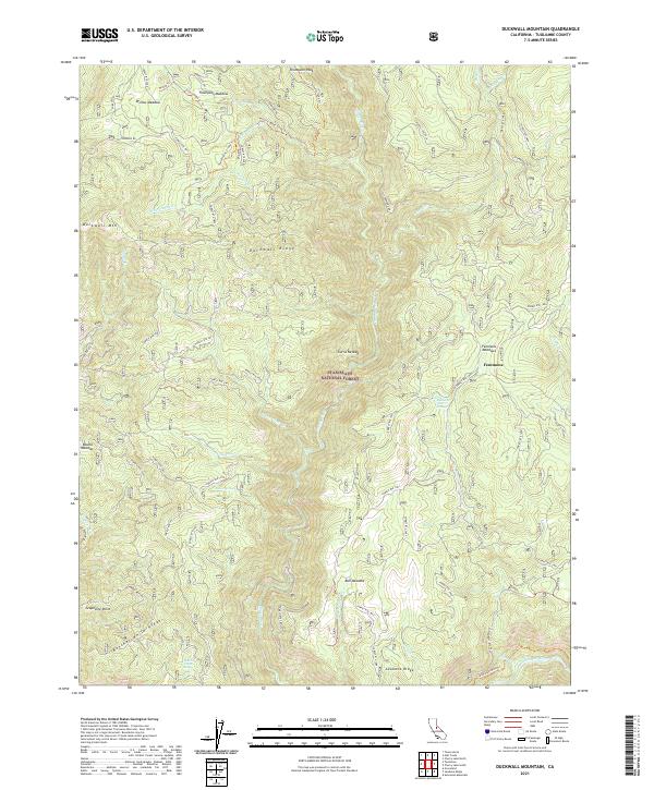 2021 Duckwall Mountain2021 Print · USGSTuolumne County's forest lands are captured in the early 2020s, showing the intricate network of ridgelines and water sources within the Stanislaus National Forest. Researchers can trace old routes and family-named landmarks like Femmons, Walton Cabin Spring, and the Andresen Mine Trl.
End of results
Showing maps 1-17 of 17
Top cities near Femmons
Frequently asked questions
- What are the different types of historical maps available for Femmons?
- What is the oldest map of Femmons?
- Where can I purchase historical maps of Femmons for my home or office?
- Where can I download high-res historical maps of Femmons?
- Are there historical topographic maps available for Femmons?
- Is there historical aerial imagery available for Femmons?
- Where are historical maps of Femmons sourced from?